Millpond Recreation Site
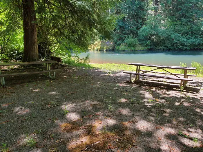
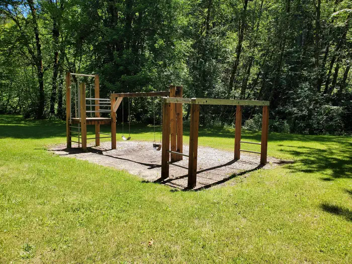
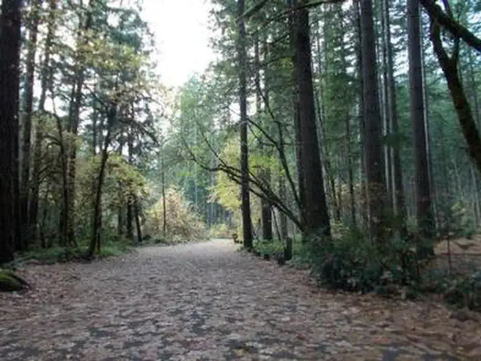
Nestled along the clear waters of Rock Creek, Millpond’s lush forest gives way to spacious grassy areas, great for day-use and running the kids and dogs. A children's play area, a large ball-field, interpretive panels, and swimming areas are all available at Millpond. There is a short nature trail on the west end of the campground and the mile-long Sawmill Trail to the east. In 1988 congress designated the North Umpqua River as a National Wild and Scenic River, preserving and protecting it for outdoor enthusiasts.
More like this: reservable in Oregon · pets allowed in Oregon
Check availability on Recreation.gov ↗

Site mix
| Standard, no hookups | 12 |
Site guide
12 sites. Tap a filter to narrow the list; the map follows.
| Site | Entry | Fits, ft | Shade | Waterfront |
|---|---|---|---|---|
| Site 001 | 20 | Partial | ||
| Site 002 | 60 | Partial | ||
| Site 003 | 42 | Partial | ||
| Site 004 | 40 | Partial | ||
| Site 005 | 42 | Partial | ||
| Site 006 | 36 | Partial | Riverfront | |
| Site 007 | 32 | Partial | Riverfront | |
| Site 008 | 30 | Partial | Riverfront | |
| Site 009 | 46 | Partial | ||
| Site 010 | 36 | Partial |
Per-site records as published by the managing agency on Recreation.gov. Blank cells mean the agency listed nothing for that site. Check-in 01:00 PM, checkout 11:00 AM.

Amenities & rules
| Pets | Allowed |
| Fees | $14 per night camping / Free day use |
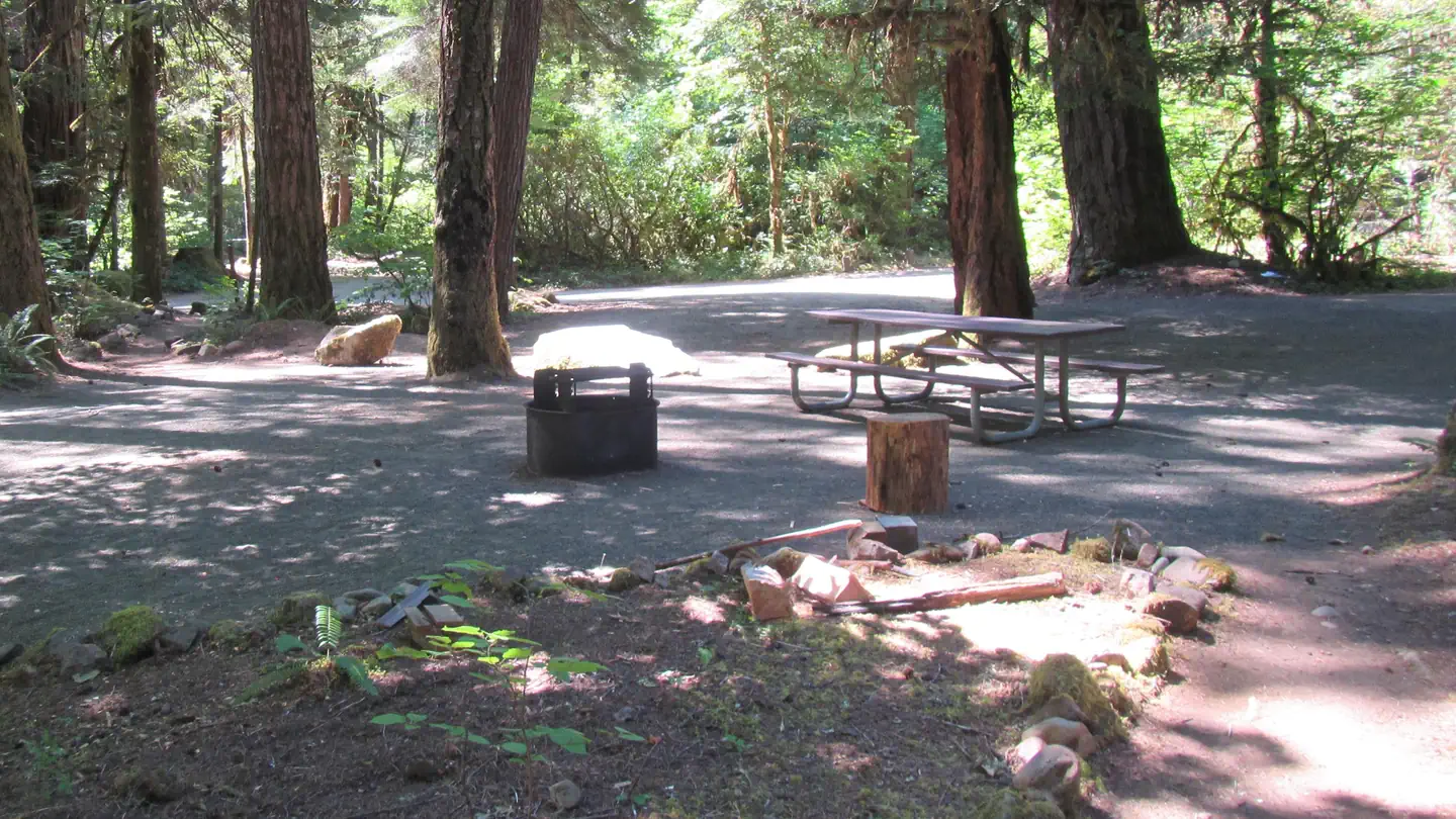
Loop campground with 12 campsites, drinking water, vault restrooms, and swimming area.
Individual sites vary. Confirm on Recreation.gov or with the managing office.
Weather by month
Getting there
Travel 22 miles east of Roseburg on Highway 138. Six miles east of Glide, turn north on Rock Creek Road (County Road 78). Travel five miles to the campground. Elevation: 1170’
| Nearest town | Idleyld Park, Oregon |
| Coordinates | 43.3804° N, 122.9481° W · Directions ↗ |
Fire nearby
- PrescribedRx Cold Springs
33 mi from the campground · 158 acres
- PrescribedRx Long Prairie
41 mi from the campground · 112 acres
Distance is to the reported incident point, not the fire edge. Call the managing office before you drive.
Supplies & services
| Outdoor gear | Sportsman's Warehouse ↗ | 23.6 mi |
| Dump station | Dump station ↗ | 28.3 mi |
| RV sales & service | Oregon West RV ↗ | 37.8 mi |
Locations © OpenStreetMap contributors. Call ahead; hours change seasonally.
Explore
Video
Campground Review – Merchants Millpond State Park
Trails nearby
- 4.2 miNfst-47055200.5 mi trail · hiking, horse, bike, motorcycle and 2 more
- 4.4 miMace Mountain4.4 mi trail · hiking, horse, bike
- 4.8 miNfst-47103200.2 mi trail · hiking, horse, bike, motorcycle and 3 more
- 4.8 miNfst-47102800.3 mi trail · hiking, horse, bike, motorcycle and 2 more
Trail and trailhead records are the Forest Service's. Distances are straight-line to the nearer trail end. Trail conditions are not tracked here.
Public land it sits in
This campground sits inside Umpqua National Forest.
- inUmpqua National Forest ↗National Forest · Forest Service · 1,035,837 acres
Each unit is published as a centre point and an acreage rather than a boundary, so this section stands it in for a circle of the same area. Whether a campground is inside, and how far it is from one it is outside, are both approximate.
Other campgrounds nearby
Cabin and lookout rentals nearby
On the National Register nearby
- Glide Ranger StationBuilding · Glide · 9.5 mi
Natural features
Millpond is just west of the Umpqua National Forest, in a lush region full of Douglas fir trees, western red cedar and sugar pines. The campground is in the foothills of the Cascade Mountains at an elevation of 1,170 feet.
Recreation
Guests can play kickball, softball or other sports in the field that's on the other side of day use parking area. Adjacent to the pavilion are horseshoe pits and a playground to entertain young ones. From the pavilion, visitors can follow a 1-mile interpretive trail that passes through the site of an old lumber mill. Between the pavilion and campground there is a swimming hole for the whole family to enjoy with a beach, picninc tables, and grills.
Nearby
Visitors can get their adventure fix with kayaking and whitewater rafting and fishing in the North Umpqua River, just five miles away. The incredibly scenic 79-mile North Umpqua Trail is ideal for mountain biking and hiking. And for a family-friendly destination, the nearby Rock Creek Fish Hatchery allows visitors to view salmon and steelhead.
Guidebooks for Oregon
We earn a small commission if you buy through these links. It does not change what we list.

Titles come from Open Library's catalog, matched by subject heading or by title.
Reference
Questions people ask
Do I need a reservation at Millpond Recreation Site?
Sites at Millpond Recreation Site are reservable on Recreation.gov. Any walk-up sites are listed on the booking page.
Source: Recreation.gov
How much does it cost to camp at Millpond Recreation Site?
$14 per night camping / Free day use
Source: Recreation.gov
What time is check-in at Millpond Recreation Site?
Check-in 01:00 PM, checkout 11:00 AM.
Source: Recreation.gov
How many sites does Millpond Recreation Site have?
12 sites, including 12 standard sites without power.
Source: Recreation.gov
Are pets allowed at Millpond Recreation Site?
Yes, pets are allowed at Millpond Recreation Site. Leash rules apply.
Source: Recreation.gov
Is there cell service at Millpond Recreation Site?
FCC coverage maps show AT&T 4G LTE at the campground point. Terrain changes that from one site to the next.
Source: FCC Broadband Map
What is there to do at Millpond Recreation Site?
Guests can play kickball, softball or other sports in the field that's on the other side of day use parking area. The Recreation section on this page has the rest.
Source: Recreation
What is the nearest town to Millpond Recreation Site?
Idleyld Park, Oregon. Visitors can get their adventure fix with kayaking and whitewater rafting and fishing in the North Umpqua River, just five miles away.
Source: Getting there
What if Millpond Recreation Site is full?
The nearest public campgrounds are Lone Pine Group Campground (0.2 mi), Susan Creek Campground (6.4 mi), and Bogus Creek Campground (8.4 mi).
Source: Campgrounds nearby