Santa Rosa Island Backcountry Beach Camping
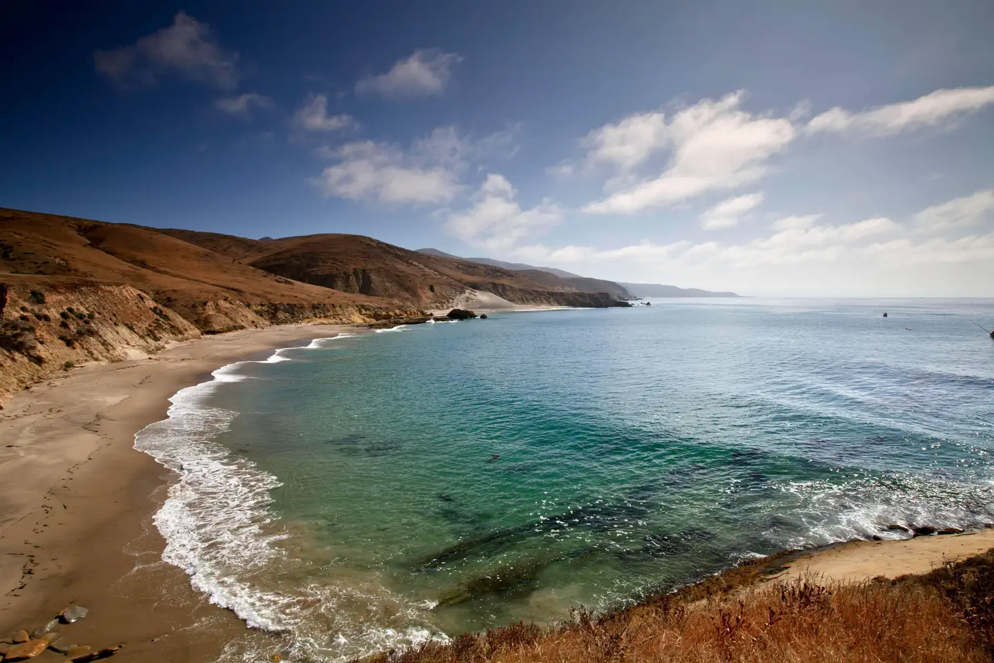
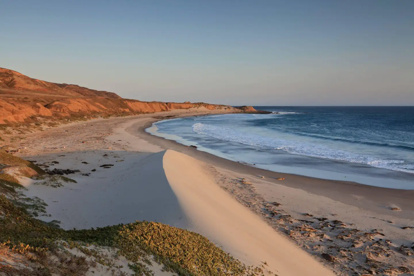
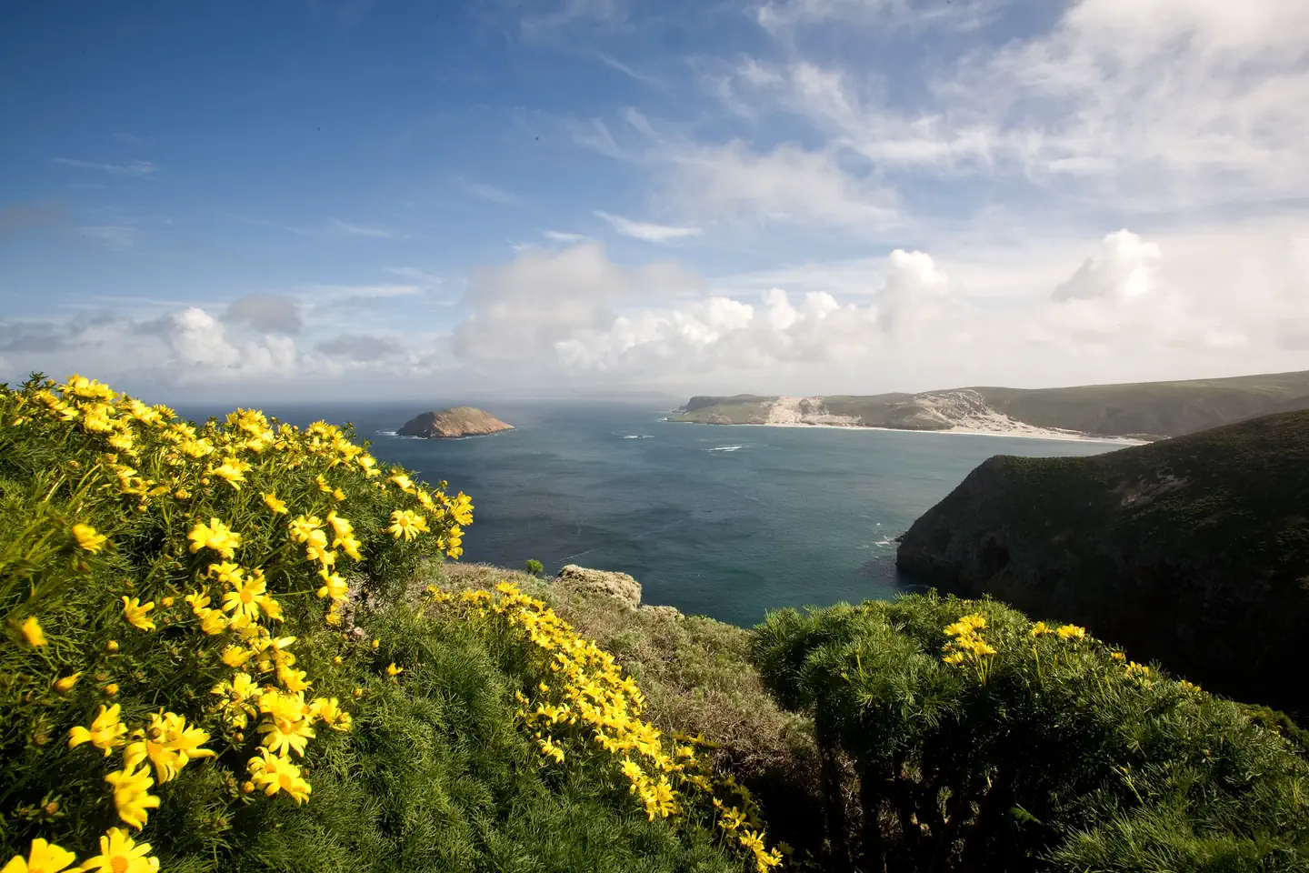
Backcountry beach camping is available mid-August through December along Santa Rosa Island's extensive, beautiful, and undeveloped 55-mile coastline. This coastline is reminiscent of California in days gone by. The rocky coast and sandy beaches are much the same as the ones the Chumash Indians, Spanish explorers, and early ranchers may have known. This remote, fragile environment is critical for s In 1992, the National Park Service opened the island to backcountry beach camping in recognition of its rare wilderness values. As you explore these wild areas by kayak or on foot, please take responsibility to help us protect and preserve these delicate natural resources for future generations.
More like this: reservable in California · tent only in California
Check availability on Recreation.gov ↗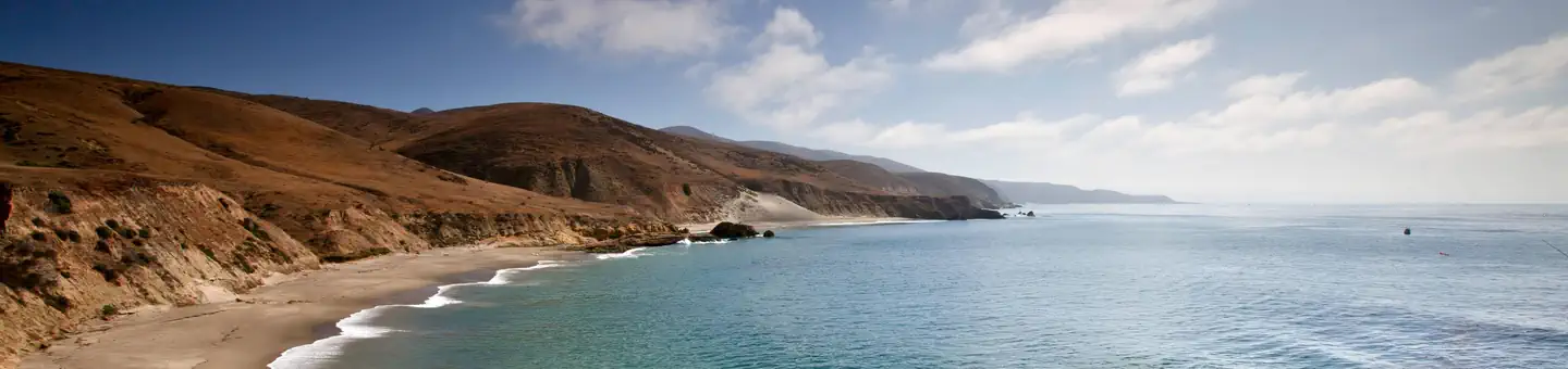
Site mix
| Tent-only | 33 |
Site guide
6 sites in 3 loops. Tap a filter to narrow the list; the map follows.
| Site | Loop | Waterfront | People / vehicles | Fires | Pets |
|---|---|---|---|---|---|
| NW01 | Northwest Quadrant Dispersed Camping | Island, | 4 / – | No | No |
| Northwest Quadrant Dispersed Camping | Northwest Quadrant Dispersed Camping | Oceanfront | 4 / – | ||
| SE01 | Southeast Quadrant Dispersed Camping | Island, | 4 / – | No | No |
| Southeast Quadrant Dispersed Camping | Southeast Quadrant Dispersed Camping | Oceanfront | 4 / – | ||
| SW01 | Southwest Quadrant Dispersed Camping | Island, | 4 / – | No | No |
| Southwest Quadrant Dispersed Camping | Southwest Quadrant Dispersed Camping | Oceanfront | 4 / – |
Per-site records as published by the managing agency on Recreation.gov. Blank cells mean the agency listed nothing for that site. Check-in 11:00 AM, checkout 11:00 AM.
Amenities & rules
| Equipment | Tents |
- No facilities
- This is primitive, dispersed, backcountry camping in tents with no established campsites nor electricity/water/sewer site hook-ups. Visitors must backpack to all locations and carry all of their own gear, food and water (see water information below).
- Pack Out What You Pack In
- Visitors are required to pack out what they pack in, including garbage and human waste. It is prohibited by law and regulation to leave human solid waste in the backcountry or in the wet intertidal sand. Human waste and toilet paper must be packed out for proper disposal using commercially available "waste bags".
- Camp Only On Beaches
- Visitors are required to camp on beaches. Camping is prohibited in any other areas, including coastal bluffs. Utilize sandy areas that are free of dune vegetation when hiking, landing water craft, and camping. Keep tents, kitchen areas, and traffic in "hardened" areas that are already bare from previous use. Do not damage live trees, plants, and other living things. It is not permitted to chop or
- Water & Water Treatment
- One gallon of water per person per day is recommended. Water weighs approximately 8 pounds per gallon. Potable water is available in the Water Canyon campground. During the backcountry camping season (mid-August through December), the only location outside the Water Canyon campground with an accessible, reliable water source is the Clapp Spring trough, approximately 7 miles from the pier [.6 miles
- Although ten canyons may carry some degree of water intermittently throughout the year (except during dry years), water is not always available. Water found at the mouth of the canyons near beaches is likely to be brackish or dirty, walking up canyon for 5-10 minutes generally improves water quality. These ten canyons include: Water, Trancion, Bee, San Augustine, Wreck, Jolla Vieja, Arlington, Sol
- Important Closures:
- Year-round. Backcountry beach camping is prohibited between Lobo Canyon and East Point, between China Camp and Cluster Point, and all beaches around Sandy Point.
- January 1 - August 14. All beaches are closed to backcountry beach camping to protect pupping seals/sealions and nesting seabirds.
- August 15 - September 15. Northwest and northeast beaches are closed to camping. Only the Southeast Quadrant (East Point to South Point Beaches) is open to backcountry camping. From September 16 through December 31, all Southeast, Southwest, and Northwest Quadrant beaches are open to backcountry camping.
- March 1 to September 15. Back beaches and sand dunes between and including Skunk Point to just north of East Point are closed to hiking to protect the nesting area for the snowy plover, a federally listed, threatened shorebird. Please remain on the wet sand (below mean high tide) or the throughout this area.
- Additional Information
Individual sites vary. Confirm on Recreation.gov or with the managing office.
Weather by month
Getting there
Backcountry campers must first secure transportation to Santa Rosa Island by their own private boat or through Island Packers or Channel Islands Aviation the park's authorized concessioners.
| Nearest town | Ventura, California |
| Coordinates | 33.9774° N, 120.0896° W · Directions ↗ |
Good to know
- The following information will help you enjoy your visit while leaving the smallest impact on the islan Warning: While backcountry camping is an incredible experience, it is not for the inexperienced
- However, it is not recommended for camping as this beach is very, small and may be washed out at higher tides.
- It is not permitted to chop or Water & Water Treatment One gallon of water per person per day is recommended.
- During the backcountry camping season (mid-August through December), the only location outside the Water Canyon campground with an accessible, reliable water source is the Clapp Spring trough, approxi
Supplies & services
| Dump station | Dump station ↗ | 33.3 mi |
| RV sales & service | Harder RV Storage ↗ | 37 mi |
| Outdoor gear | Surf N Wear's Beach House ↗ | 37.8 mi |
Locations © OpenStreetMap contributors. Call ahead; hours change seasonally.
Explore
Video
Channel Islands National Park Camping - Santa Rosa Island
Worth a stop
- 3.1 miSanta Rosa Island Visitor Contact Station ↗Visitor center
Other campgrounds nearby
Natural features
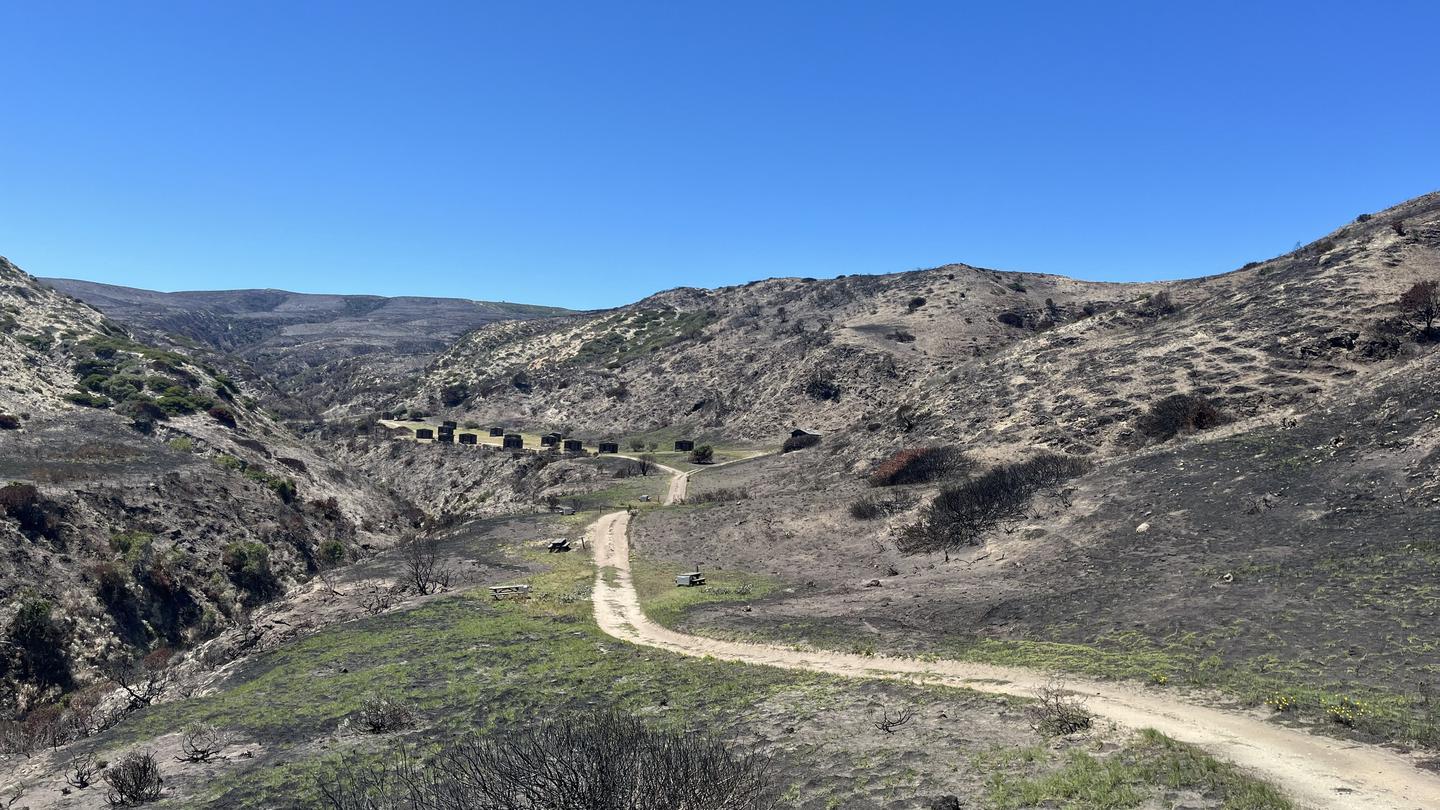
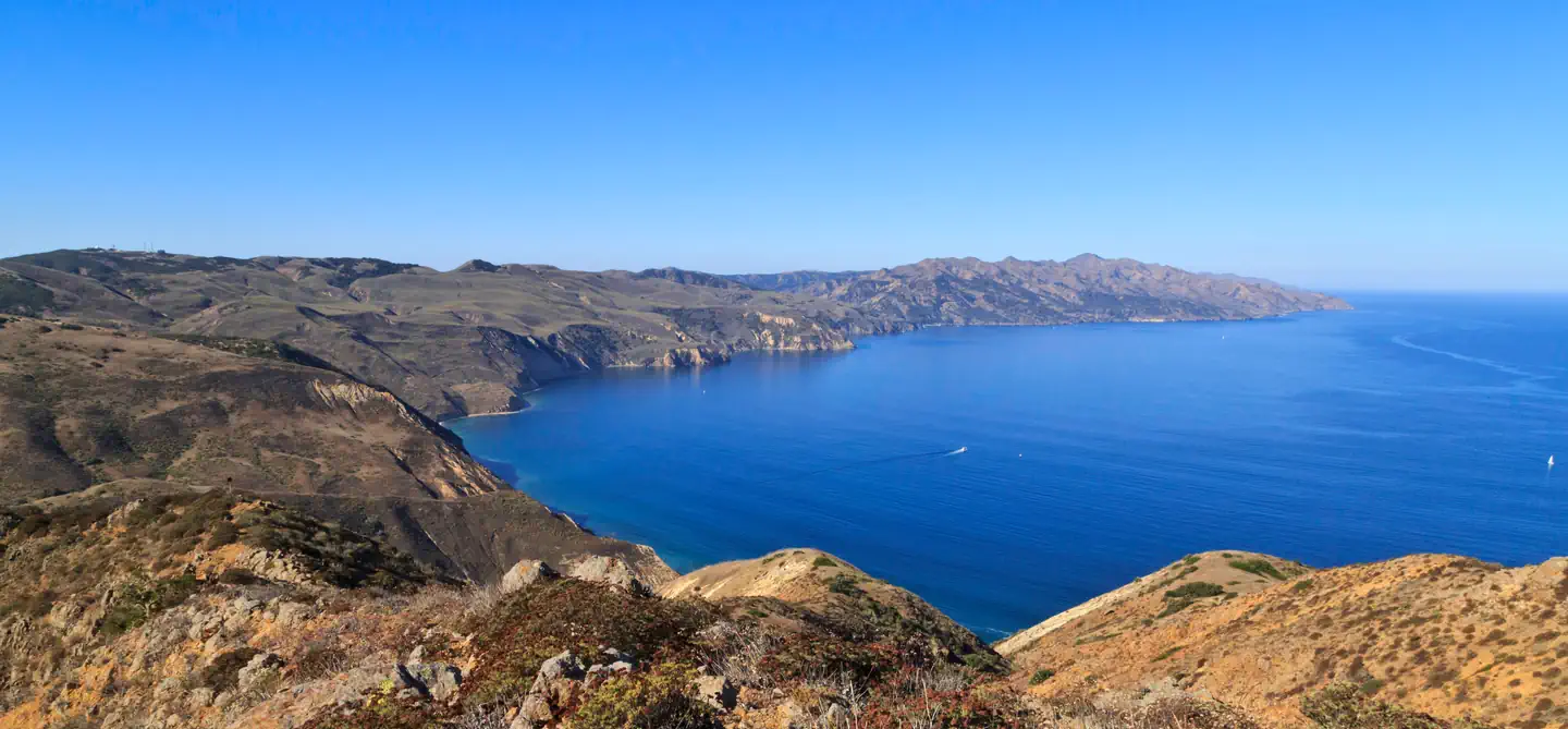
Weather Weather conditions are generally best from August through October, with relatively calm wind and sea conditions and virtually no rain. Backpackers and kayakers should be prepared for strong northwest winds throughout the year, with the possibility of strong east or Santa Ana winds from October through January. The average wind speed is 15 knots, although speeds of 40 to 50 knots are not uncommon. Occasionally, the south side of the island (South Point to East Point) offers protection from these strong winds. Dense fog is common making chart and compass navigation mandatory. Ocean Conditions Kayakers may encounter strong ocean currents around the islands. Intense wave and surf conditions exist around the Carrington Point area. Sheer cliffs rise out of the ocean, reflecting incoming waves back out to sea, creating a washing machine effect. In this turbulent area there are no places to land, even in an emergency. The first landable beach is Lobo Canyon, five miles west of the ranch area pier.
Recreation
- Boat and Airplane Drop Off Points.
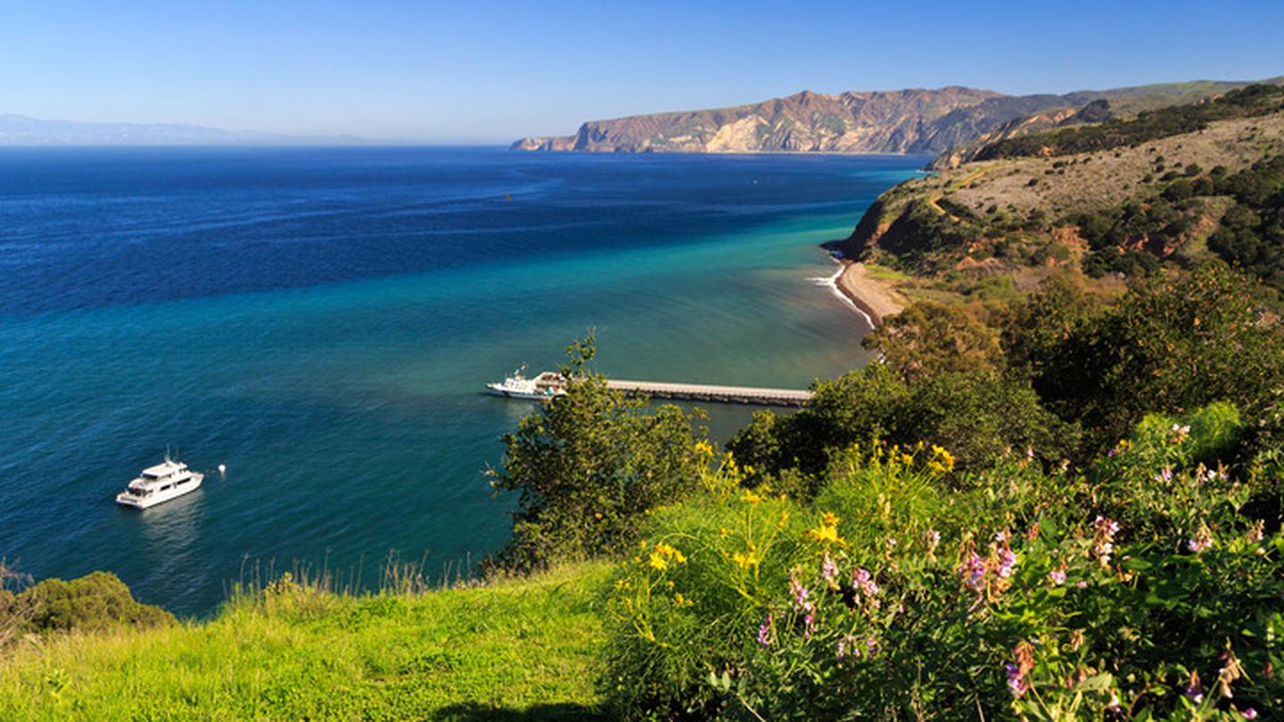
- The park boat concessionaire, Island Packers, drops off and picks up kayakers and backpackers at the Bechers Bay pier. Campers should coordinate purchasing boat tickets in conjunction with making campground reservations.
- There is currently no park airline concessionaire, private landings on the airstrip near Water Canyon, or anywhere else on the island, is prohibited.
- Trail Conditions.
- Hiking to beach camping areas requires travel along rugged exposed mountainous roads, trails, and unmaintained routes often created by island animals. Expect high winds and sunny conditions with no shade or cover. Navigating beaches and bluffs may be possible depending on ocean conditions and commonly require hiking across drainages and badlands. It is recommended to carry tide charts when navigat
- Maps.
- Please refer to topographical maps for more accurate mileage and to help with the following descriptions. It is recommended that all backcountry campers have both digital and physical maps. Backpackers should carry topographic maps (USGS 7.5 minute maps or the Trails Illustrated map of all the islands) and kayakers carry nautical charts before departing on their journey.
- Hiking and Kayaking Distances to Beach Camping Areas.
- Backcountry campers should be prepared to hike 10+ miles (16 km+) on their first and last days in the backcountry regardless of itinerary. While some beaches are less than 10 miles away, you may arrive to find your destination beach unavailable (occupied by other campers, covered in pinnipeds, under water from high tides, etc.) and need to hike to the next available beach.
- Southeast Quadrant (August 15-December 31)
- East Point from Pier: 7 mi (11 km) hiking; 8 mi (13 km) kayaking*
- East Point to Ford Point: 8 mi (13 km) hiking; 5 mi (8 km) kayaking
- Ford Point via South (Wreck) Road from Pier: 9 mi (14.5 km) hiking+
- Ford Point to Johnsons Lee: 4 mi (6.5 km) hiking; 3.5 (6 km) kayaking+
- Johnsons Lee (via East Point) from Pier: 18 mi (29 km) hiking; 16 mi (26 km) kayaking
- Johnsons Lee via Main (Soledad) Road from Pier: 14 mi (22.5 km) hiking+
- Johnsons Lee via South (Wreck) Road from Pier: 13.5 mi (22 km) hiking+
- La Jolla Vieja via South (Wreck) Road from Pier: 11.2 mi (18 km) hiking+
- Camping Just South of East Point is NOT Recommended. While no camping is allowed at East Point, there is a small pocket beach just to the south in the Southeast Quadrant. However, it is not recommended for camping as this beach is very, small and may be washed out at higher tides. In addition, pounding surf and strong winds constantly reshape this beach.
- Hiking Beyond East Point. If hiking beyond East Point to Ford Point, it is recommended that you follow the ridge line or road until you reach the northeast ridge of San Augustine Canyon. Follow this ridge down to the mouth of the canyon. Hiking along the beach from East Point to Ford Point is impossible due to section of vertical cliffs that drop directly into the ocean. However, kayakers can a
Guidebooks for Channel Islands National Park and California
We earn a small commission if you buy through these links. It does not change what we list.

Titles come from Open Library's catalog, matched by subject heading or by title.
Reference
Questions people ask
Do I need a reservation at Santa Rosa Island Backcountry Beach Camping?
Sites at Santa Rosa Island Backcountry Beach Camping are reservable on Recreation.gov. Any walk-up sites are listed on the booking page.
Source: Recreation.gov
What time is check-in at Santa Rosa Island Backcountry Beach Camping?
Check-in 11:00 AM, checkout 11:00 AM.
Source: Recreation.gov
How many sites does Santa Rosa Island Backcountry Beach Camping have?
33 sites, including 33 tent-only sites.
Source: Recreation.gov
Can I bring an RV to Santa Rosa Island Backcountry Beach Camping?
Santa Rosa Island Backcountry Beach Camping is listed for tents only.
Source: Recreation.gov
What is there to do at Santa Rosa Island Backcountry Beach Camping?
Boat and Airplane Drop Off Points. The Recreation section on this page has the rest.
Source: Recreation
What is the nearest town to Santa Rosa Island Backcountry Beach Camping?
Ventura, California.
Source: Getting there
What if Santa Rosa Island Backcountry Beach Camping is full?
The nearest public campgrounds are Santa Rosa Island (2.6 mi), San Miguel Island (15.5 mi), and Santa Cruz Island Prisoners Harbor (23.5 mi).
Source: Campgrounds nearby
Which national park is Santa Rosa Island Backcountry Beach Camping in?
Santa Rosa Island Backcountry Beach Camping is a Channel Islands National Park campground. Entrance fees, alerts, and hours are on Park Atlas.
Source: Channel Islands National Park