Chopawamsic Backcountry Camping Permits
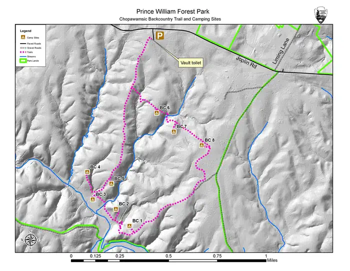
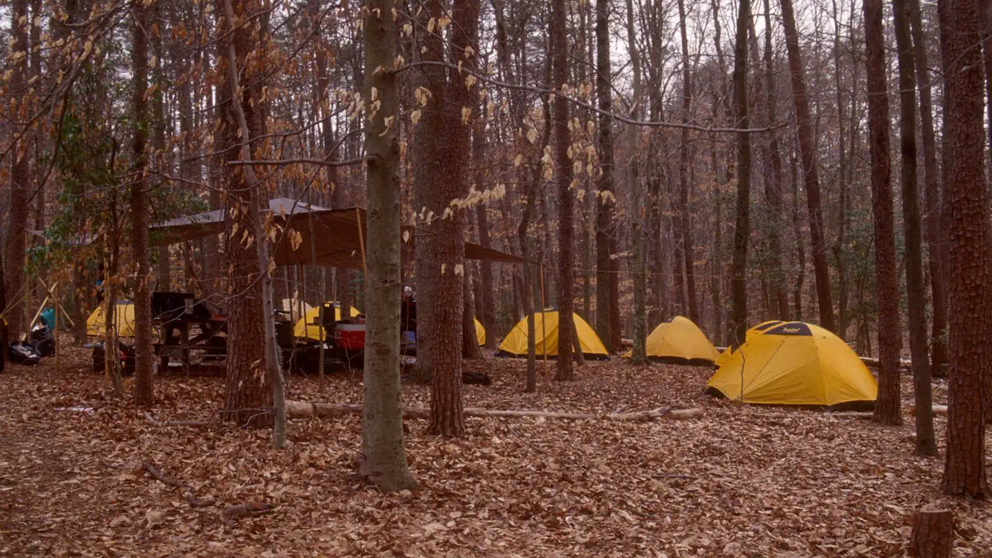
Looking for some peace and quiet? Want to get back to nature, listen to the sounds of the nocturnal world, or simplify your life? Then come experience primitive camping at Prince William Forest Park’s Chopawamsic Backcountry Area. Chopawamsic (chop-uh-WAHM-zik), Algonquian for “small, divided river flats”, consists of about 400 acres (162 ha) of backcountry with a wilderness-like feel in a remote area of Prince William Forest Park. Within this tract of land, there are eight designated hike in campsites. Campsites are accessible from a two-mile (3.2 km) loop trail. Chopawamsic Backcountry Area limits camping to six people or one family unit per site.
More like this: reservable in Virginia
Check availability on Recreation.gov ↗

Site mix
| Hike-in | 8 |
Site guide
8 sites. Tap a filter to narrow the list; the map follows.
| Site | Shade | People / vehicles | Fires | Rating |
|---|---|---|---|---|
| BC1 | Partial | 6 / – | No | Basic |
| BC2 | Partial | 6 / – | No | Basic |
| BC3 | Partial | 6 / – | No | Basic |
| BC4 | Partial | 6 / – | No | Basic |
| BC5 | Partial | 6 / – | No | Basic |
| BC6 | Partial | 6 / – | No | Basic |
| BC7 | Partial | 6 / – | No | Basic |
| BC8 | Partial | 6 / – | No | Basic |
Per-site records as published by the managing agency on Recreation.gov. Blank cells mean the agency listed nothing for that site. Check-in 12:00 PM, checkout 11:59 AM.

Amenities & rules
| Fees | Reservation Fee: $8 if booked online or $9 if booked through at Recreation.gov’s call center, (877) 444-6777 (toll free) or (606) 515-6777 (international) 10 a.m. – 12 a.m. (Eastern Time Zone). The reservation fee cover the cost of reservation services. Recreation Use Fee: $0. |
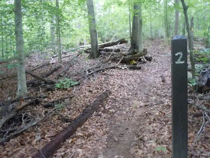
This primitive backcountry camping area is open year-round barring inclement weather. There are 8 hike-in campsite spots located along a 2 mile (3.2 km) loop trail. Each spot contains a flat area for pitching a tent and a wooden post with the site number and is located a short distance off of the loop trail. There is a parking area at the start of the loop trail that has one vault toilet. Everything you carry with you when hiking to the sites must be carried out with you when you leave.
Individual sites vary. Confirm on Recreation.gov or with the managing office.
Weather by month
Getting there
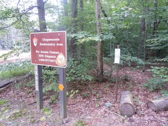
To get to the backcountry area. From the park entrance, follow Rt. 619 or Joplin Road for around 2 miles north past the American Legion sign. Almost immediately after you pass mile marker 22, the entrance to the backcountry area is the first left at the top of a slight hill. It is a gated small gravel parking area with a pit toilet.
| Nearest town | Triangle, Virginia |
| Coordinates | 38.5588° N, 77.4069° W · Directions ↗ |
Good to know
- Chopawamsic is not designed for group camping, which is available at Turkey Run Ridge Group Campground.
Supplies & services
| Outdoor gear | REI ↗ | 8 mi |
| Dump station | Dump station ↗ | 15 mi |
| RV sales & service | Affordable RV Truck and Trailer Repair ↗ | 25.2 mi |
Locations © OpenStreetMap contributors. Call ahead; hours change seasonally.
Explore
Public land it sits in
Featherstone National Wildlife Refuge begins about 8.8 miles away, and it is the closest of these.
- 8.8 miFeatherstone National Wildlife Refuge ↗National Wildlife Refuge · Fish and Wildlife Service · 273 acres
- 10.4 miOccoquan Bay National Wildlife Refuge ↗National Wildlife Refuge · Fish and Wildlife Service · 630 acres
- 12.5 miElizabeth Hartwell Mason Neck National Wildlife Refuge ↗National Wildlife Refuge · Fish and Wildlife Service · 2,274 acres
Each unit is published as a centre point and an acreage rather than a boundary, so this section stands it in for a circle of the same area. Whether a campground is inside, and how far it is from one it is outside, are both approximate.
Other campgrounds nearby

Cabin and lookout rentals nearby
Historic landmarks nearby

Natural features
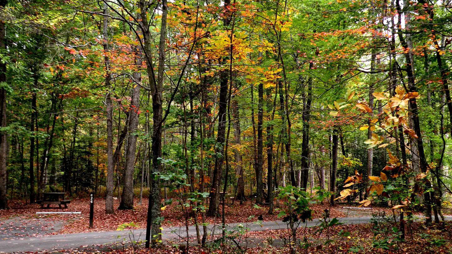
Chopawamsic Backcountry Area is located in Prince William Forest Park, which preserves approximately 15,000 acres (6070 ha) including a major portion of the Quantico Creek watershed. The area is the largest example of a piedmont forest ecosystem, the piedmont being the geographic plateau between the Appalachian Mountains and the Atlantic coast. The park represents one of the largest parcels of undeveloped land in the area and is the National Park Service's third largest unit in Virginia. Various geological outcroppings, winding creeks, gently rolling slopes and man-made lakes make wonderful destinations for any adventurous visitor. The park is home to many animals including 46 species of mammals, 22 species of amphibians, 25 species of reptiles, more than 129 species of birds, 26 species of fish and an unknown number of invertebrates. More than 900 plant species exist in Prince William Forest Park, from the smallest wildflower to the tallest tree. From tree bark in winter, wildflowers in spring, canopy cover in summer and autumn colors in fall, Prince William Forest Park offers beautiful scenery year-round.
Recreation
Chopawamsic Backcountry Area is located in Prince William Forest Park, which preserves approximately 15,000 acres (6070 ha) including a major portion of the Quantico Creek watershed. The area is the largest example of a piedmont forest ecosystem, the piedmont being the geographic plateau between the Appalachian Mountains and the Atlantic coast. The park represents one of the largest parcels of undeveloped land in the area and is the National Park Service's third largest unit in Virginia. Various geological outcroppings, winding creeks, gently rolling slopes and man-made lakes make wonderful destinations for any adventurous visitor. The park is home to many animals including 46 species of mammals, 22 species of amphibians, 25 species of reptiles, more than 129 species of birds, 26 species of fish and an unknown number of invertebrates. More than 900 plant species exist in Prince William Forest Park, from the smallest wildflower to the tallest tree. From tree bark in winter, wildflowers in spring, canopy cover in summer and autumn colors in fall, Prince William Forest Park offers beautiful scenery year-round.
Nearby
Prince William Forest Park is centrally located, with easy access to all of the attractions the Northern Virginia and Washington, D.C. area have to offer. From the park entrance, the National Museum of the Marine Corps and the main gate of the United States Marine Corps Base Quantico are just a mile (1.6 km) away. The park is located directly between historic Fredericksburg and Spotsylvania National Military Park and Manassas National Battlefield Park.
Guidebooks for Virginia
We earn a small commission if you buy through these links. It does not change what we list.
Titles come from Open Library's catalog, matched by subject heading or by title.
Reference
Questions people ask
Do I need a reservation at Chopawamsic Backcountry Camping Permits?
Sites at Chopawamsic Backcountry Camping Permits are reservable on Recreation.gov. Any walk-up sites are listed on the booking page.
Source: Recreation.gov
How much does it cost to camp at Chopawamsic Backcountry Camping Permits?
Reservation Fee: $8 if booked online or $9 if booked through at Recreation.gov’s call center, (877) 444-6777 (toll free) or (606) 515-6777 (international) 10 a.m. – 12 a.m. (Eastern Time Zone).
Source: Recreation.gov
What time is check-in at Chopawamsic Backcountry Camping Permits?
Check-in 12:00 PM, checkout 11:59 AM.
Source: Recreation.gov
How many sites does Chopawamsic Backcountry Camping Permits have?
8 sites, including 8 hike-in sites.
Source: Recreation.gov
Is there cell service at Chopawamsic Backcountry Camping Permits?
FCC coverage maps show T-Mobile 4G LTE at the campground point. Terrain changes that from one site to the next.
Source: FCC Broadband Map
What is there to do at Chopawamsic Backcountry Camping Permits?
Chopawamsic Backcountry Area is located in Prince William Forest Park, which preserves approximately 15,000 acres (6070 ha) including a major portion of the Quantico Creek watershed. The Recreation section on this page has the rest.
Source: Recreation
What is the nearest town to Chopawamsic Backcountry Camping Permits?
Triangle, Virginia. Prince William Forest Park is centrally located, with easy access to all of the attractions the Northern Virginia and Washington, D.C.
Source: Getting there
What if Chopawamsic Backcountry Camping Permits is full?
The nearest public campgrounds are Turkey Run Ridge Group (2.4 mi), Oak Ridge Campground (3 mi), and Prince William Forest RV Park (4.3 mi, first-come).
Source: Campgrounds nearby
Which national park is Chopawamsic Backcountry Camping Permits in?
Chopawamsic Backcountry Camping Permits is a Prince William Forest Park campground. Entrance fees, alerts, and hours are on Park Atlas.
Source: Prince William Forest Park