Malaquite Campground
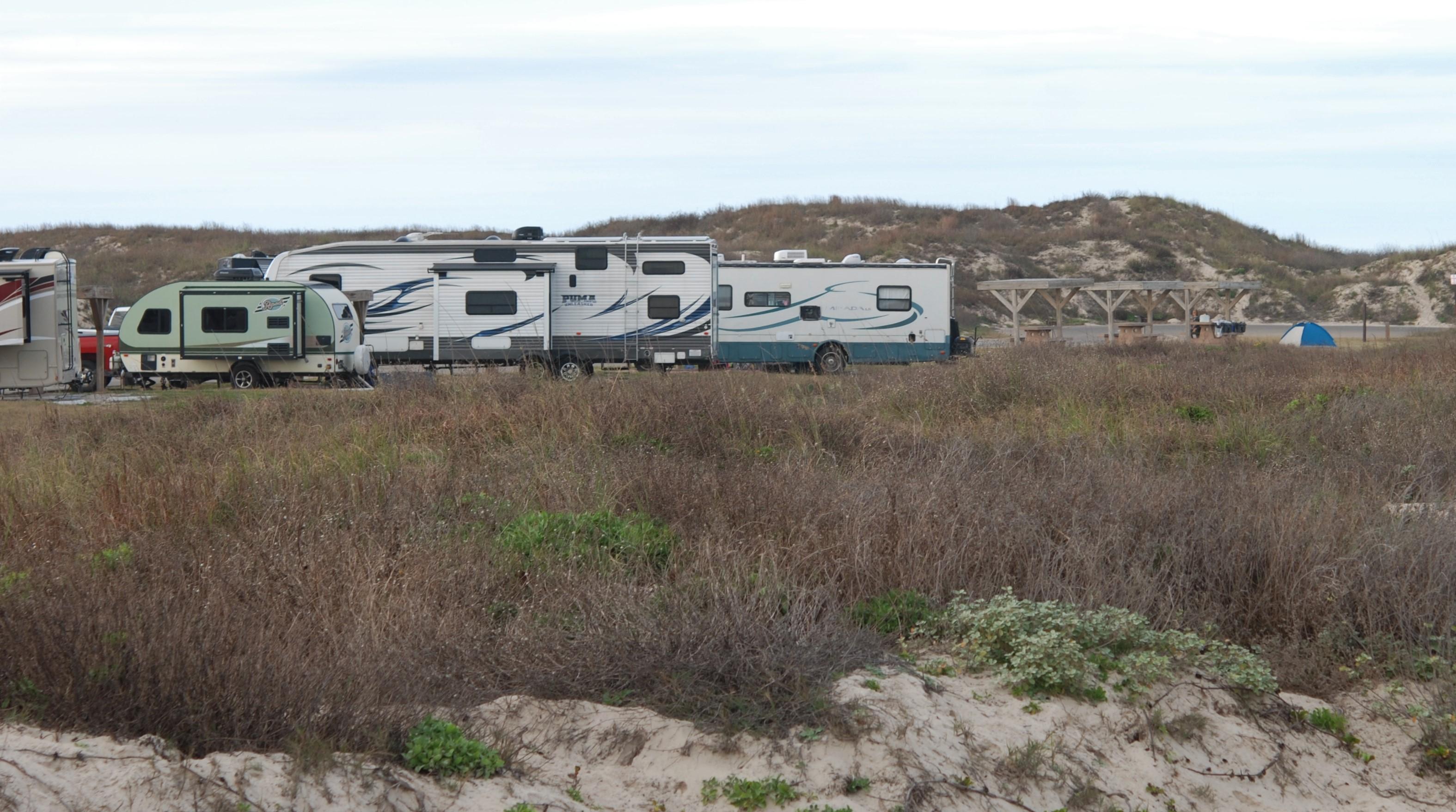
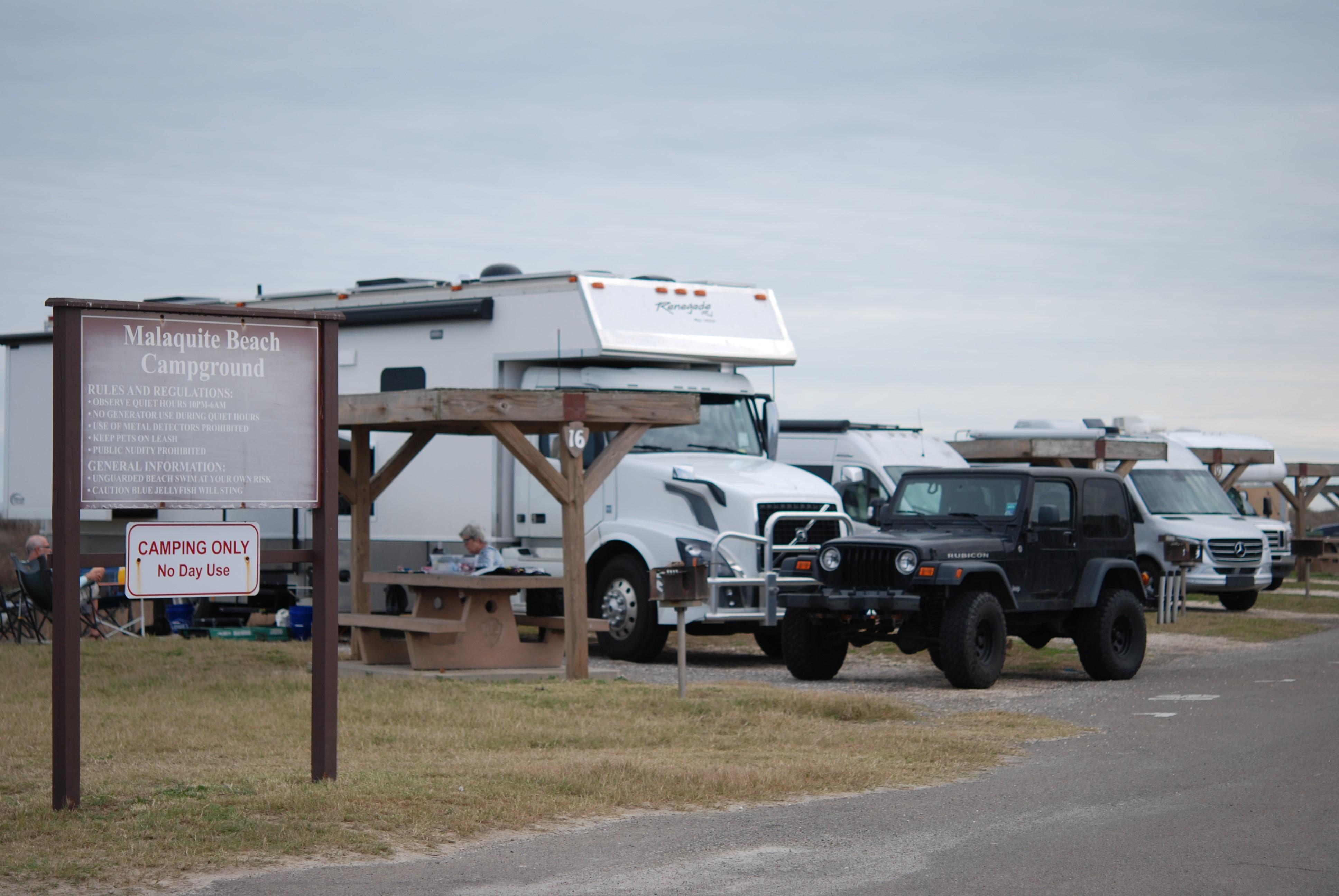
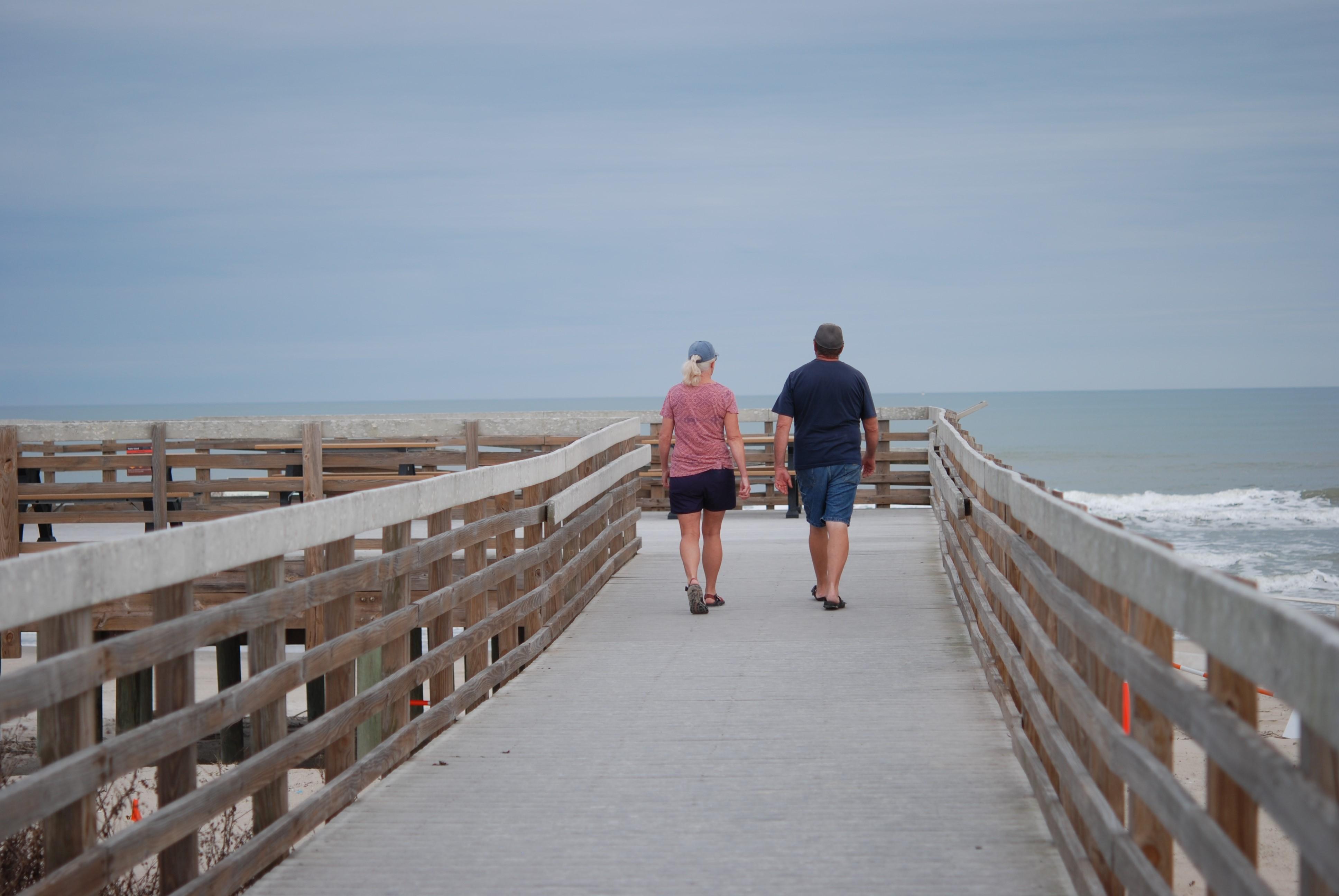
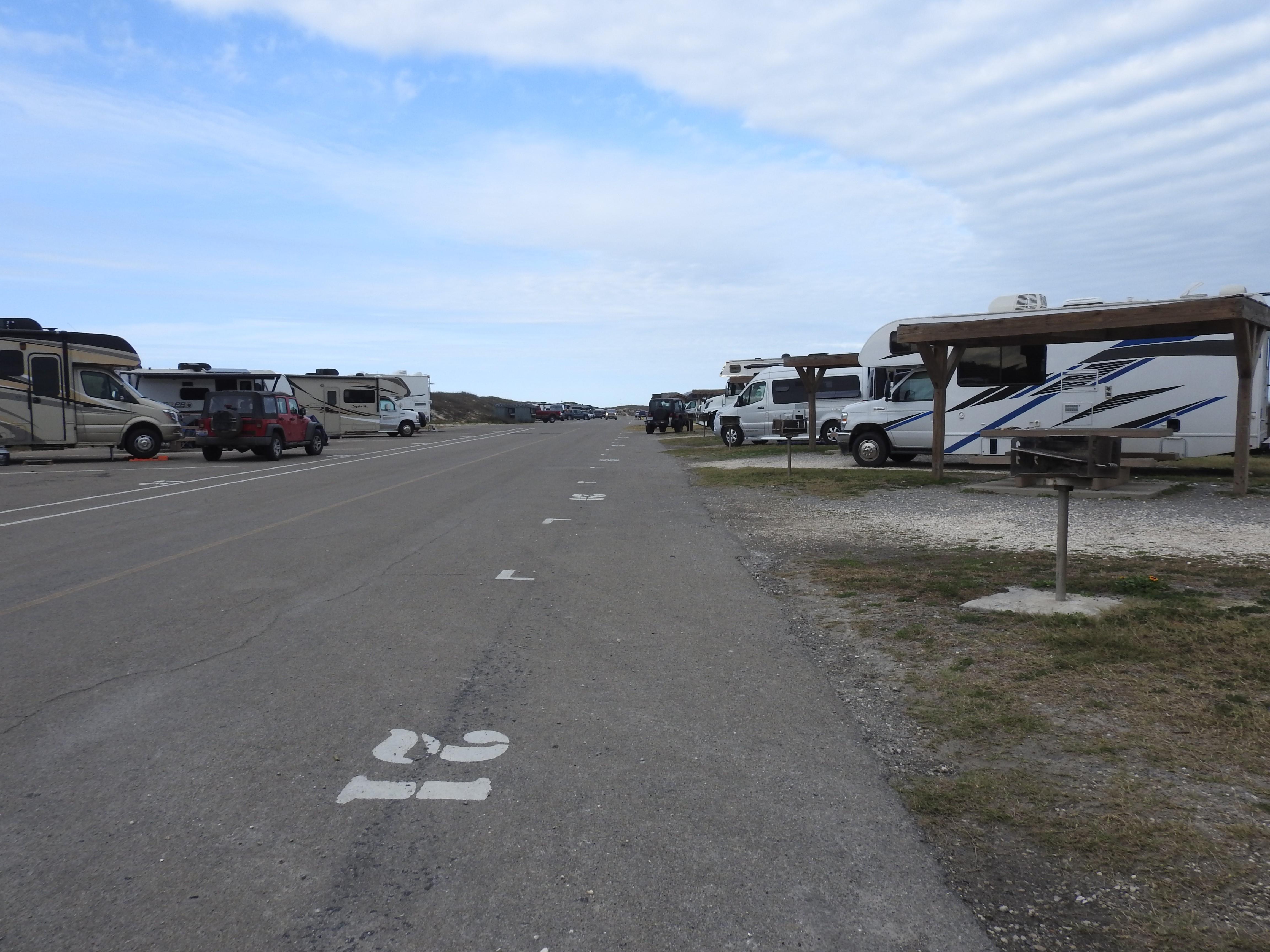
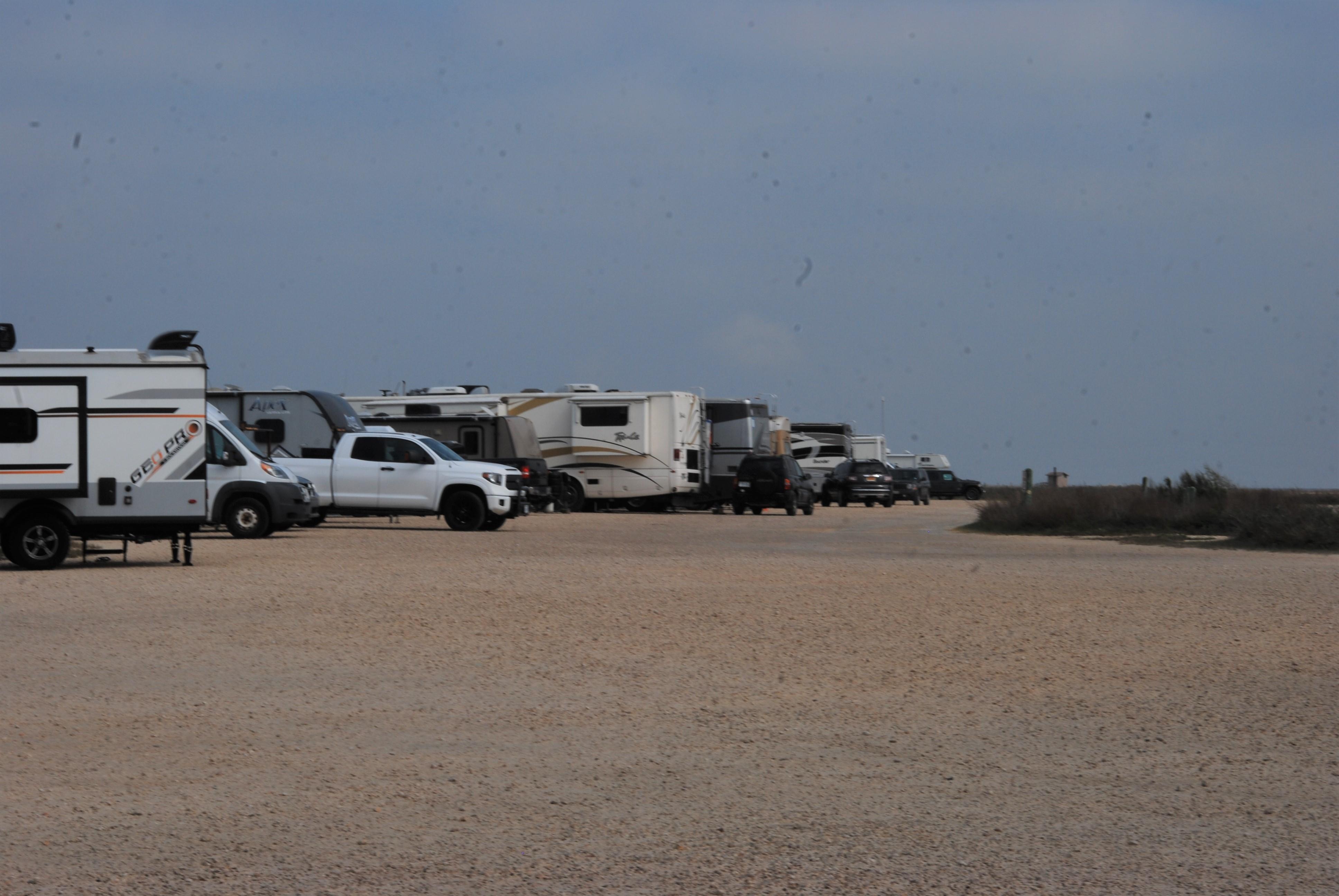
Malaquite Campground is open to tents and RVs on a first-come, first-served basis (no reservations). It is between the dunes with beach access. There are designated paved and gravel camp sites, restrooms, cold water showers, and picnic tables. Some sites have grills and shade structures. No hookups but a dump station and potable water are on the road to the campground. Campers with a paid site in the campground can pitch a tent either at the site or on the beach in front of the campground.
More like this: first-come in Texas
Weather by month
Getting there
From the park entrance station, travel south along Park Road 22 for 3.2 miles (5.1 km). Turn left into the campground at the respective road sign. Malaquite Campground is approximately 0.5 miles (0.8 km) north of the Malaquite Visitor Center. Note that from the visitor center to the campground there is no road sign but it is the first right turn.
| Nearest town | Corpus Christi, Texas |
| Coordinates | 27.4302° N, 97.2962° W · Directions ↗ |
Supplies & services
| Dump station | Dump Station ↗ | 18.3 mi |
Locations © OpenStreetMap contributors. Call ahead; hours change seasonally.
Explore
Other campgrounds nearby
Guidebooks for Texas
We earn a small commission if you buy through these links. It does not change what we list.
Titles come from Open Library's catalog, matched by subject heading or by title.
Reference
Questions people ask
Do I need a reservation at Malaquite Campground?
No. Malaquite Campground is first-come, first-served. Sites are taken on arrival and paid at the fee station.
What is the nearest town to Malaquite Campground?
Corpus Christi, Texas.
Source: Getting there
What if Malaquite Campground is full?
The nearest public campgrounds are Bird Island Basin Campground (2.7 mi, first-come).
Source: Campgrounds nearby
Which national park is Malaquite Campground in?
Malaquite Campground is a Padre Island National Seashore campground. Entrance fees, alerts, and hours are on Park Atlas.
Source: Padre Island National Seashore