Rocky Springs Campground, Milepost 54.8
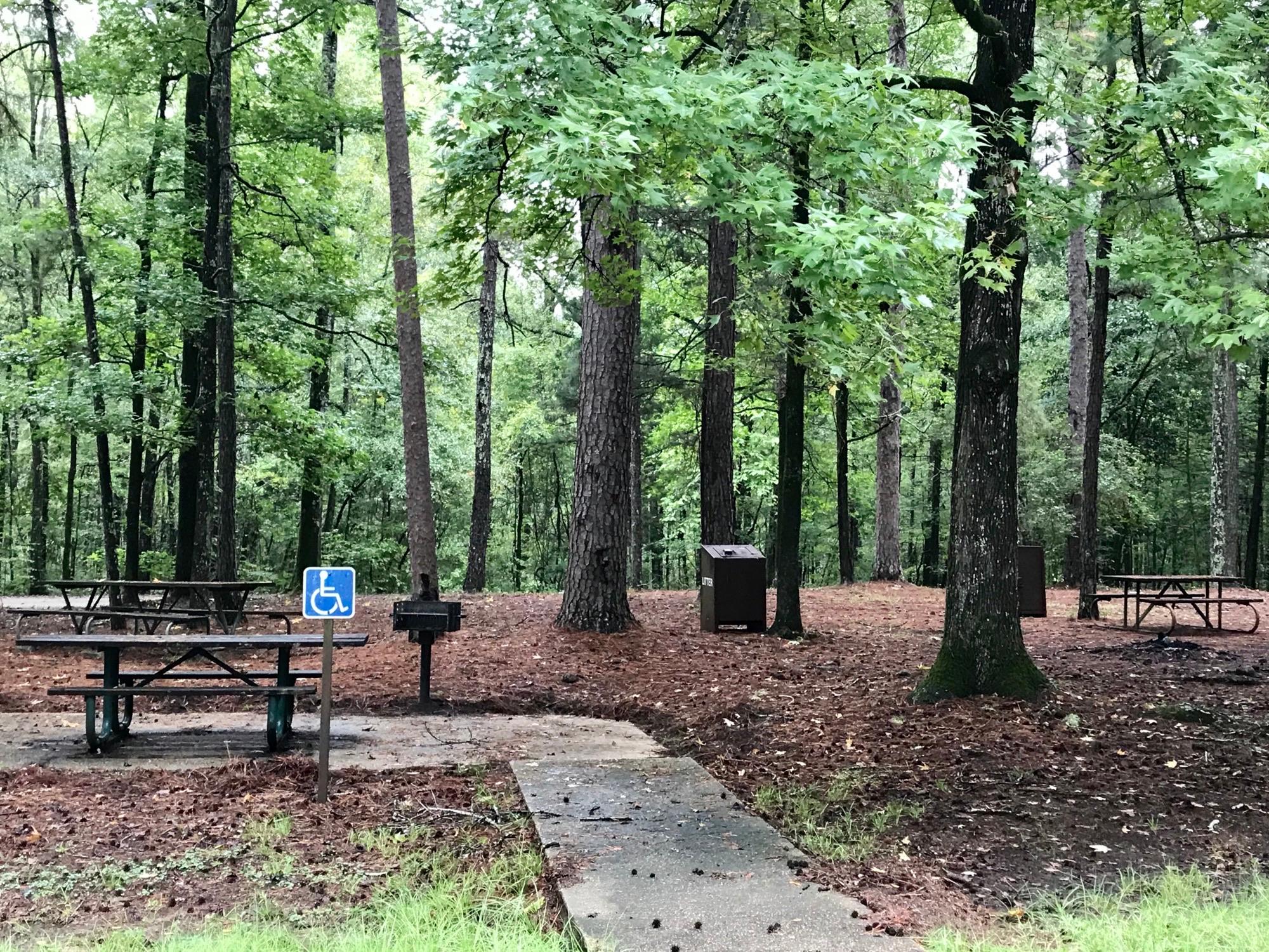
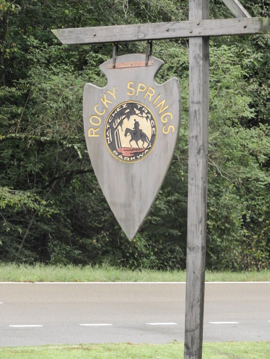
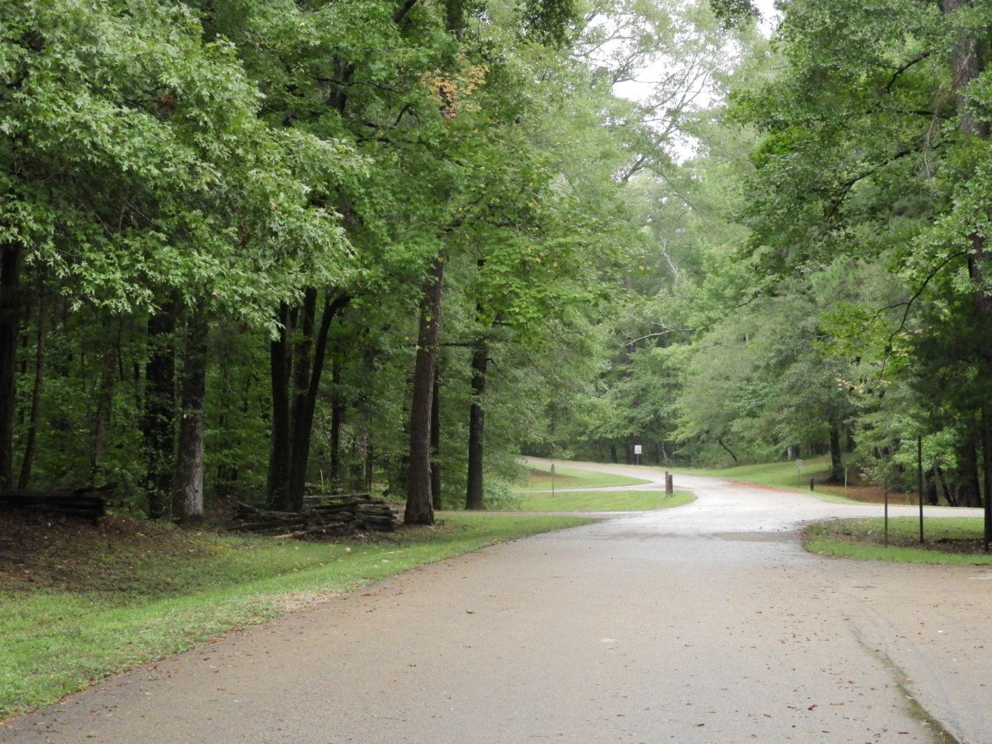
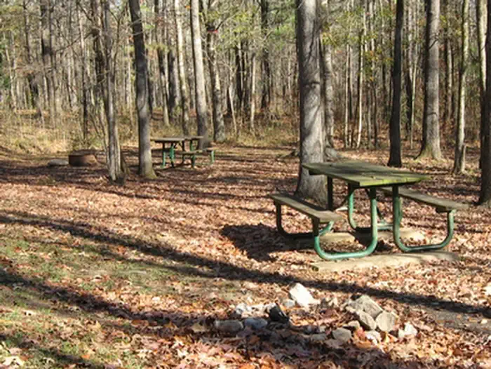
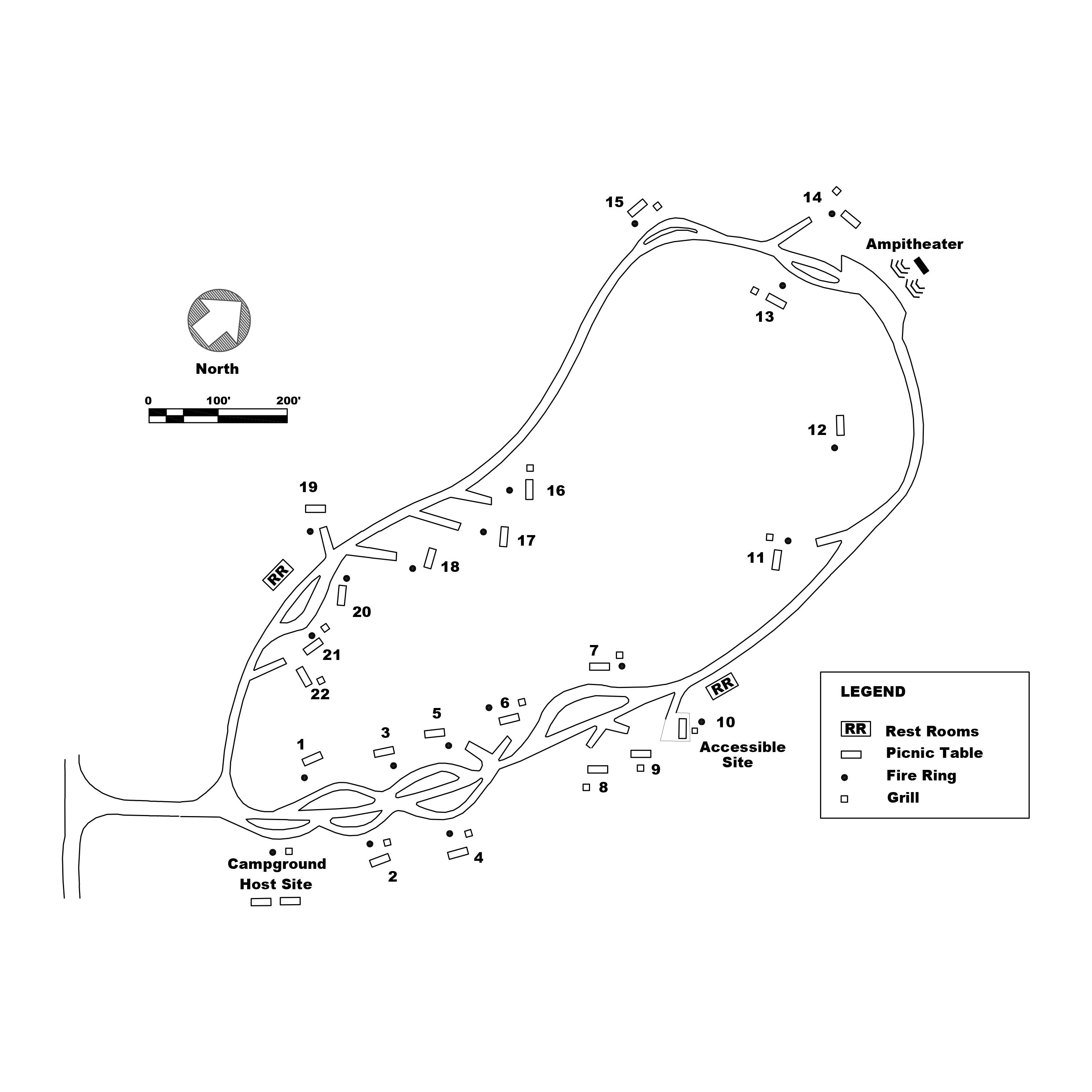
Rocky Springs Campground, milepost 54.8, on the southern end of the Parkway, includes a 22-site campground, picnic tables, intermittent restrooms, a section of the Old Trace, self-guiding walking trails through the old town site. Pull-through and back-in sites are available. Campgrounds are typically the busiest during the spring and fall, especially during holiday weekends. No potable water is available. Plan to be self-contained.
More like this: first-come in Mississippi
Site map
Weather by month
Getting there
At mile post 54.8 exit off of the Natchez Trace Parkway. Take the first right to enter into the campground. Latitude: 32.08645 Longitude -90.79871
| Nearest town | Tupelo, Mississippi |
| Coordinates | 32.0874° N, 90.7988° W · Directions ↗ |
Supplies & services
| Outdoor gear | Bass Pro Shops ↗ | 40 mi |
| RV sales & service | Camper Corral ↗ | 49.8 mi |
Locations © OpenStreetMap contributors. Call ahead; hours change seasonally.
Explore
Other campgrounds nearby


Historic landmarks nearby


Guidebooks for Natchez Trace Parkway and Mississippi
We earn a small commission if you buy through these links. It does not change what we list.
Titles come from Open Library's catalog, matched by subject heading or by title.
Reference
Questions people ask
Do I need a reservation at Rocky Springs Campground, Milepost 54.8?
No. Rocky Springs Campground, Milepost 54.8 is first-come, first-served. Sites are taken on arrival and paid at the fee station.
Source: Rocky Springs Campground, Milepost 54.8 Official Website
How many sites does Rocky Springs Campground, Milepost 54.8 have?
22 sites.
Source: Rocky Springs Campground, Milepost 54.8 Official Website
What is the nearest town to Rocky Springs Campground, Milepost 54.8?
Tupelo, Mississippi.
Source: Getting there
What if Rocky Springs Campground, Milepost 54.8 is full?
The nearest public campgrounds are Clear Springs Recreation Area (46.8 mi, first-come), Delta National Forest - Camping (47 mi), and Blue Lake Recreation Area (50.7 mi).
Source: Campgrounds nearby
Which national park is Rocky Springs Campground, Milepost 54.8 in?
Rocky Springs Campground, Milepost 54.8 is a Natchez Trace Parkway campground. Entrance fees, alerts, and hours are on Park Atlas.
Source: Natchez Trace Parkway