Mcbride Canyon And Mullinaw Creek Campgrounds
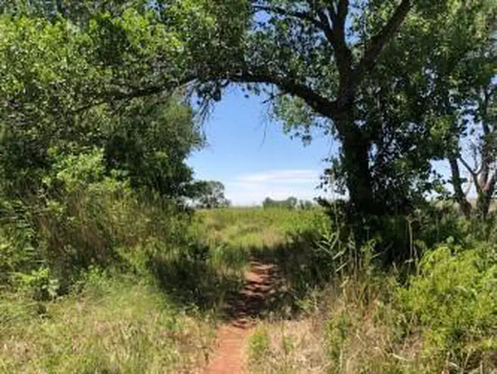
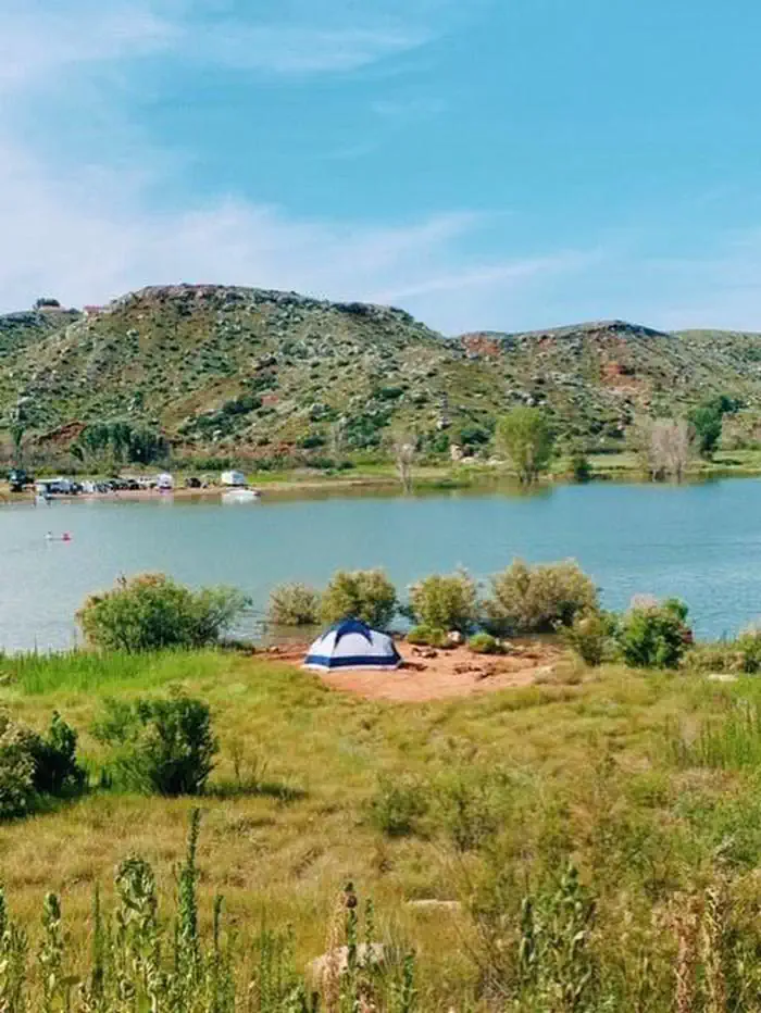
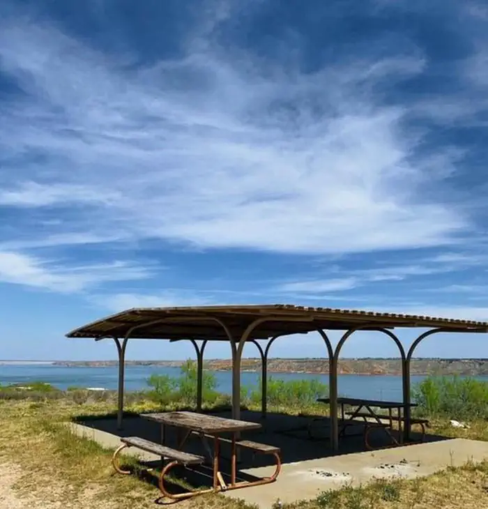
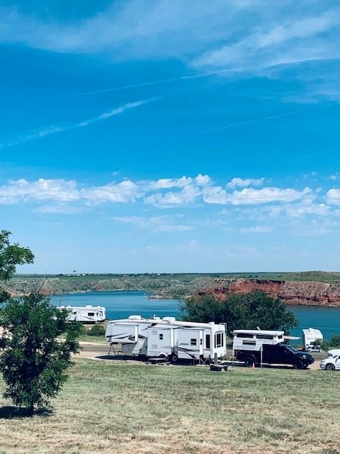
These areas are located south of the lake off of State Highway 136. There are large cottonwood trees that provide shade. The Mullinaw Creek area features the expanded Mullinaw Trails System. This trail system is open to hiking, biking, and horseback riding. No off road vehicles allowed. No drinking water or flush toilets; vault-evaporator toilets only. Picnic tables, shade shelters, and grills. Horse corrals are located at Mullinaw Campground. The dirt roads can become impassable after rain.
More like this: first-come in Texas
Weather by month
Getting there
There are several different ways to get to Lake Meredith. If you are coming from Amarillo, exit Loop 335 North, then exit Hwy 136 North to Fritch. Headquarters is located at 419 E. Broadway in Fritch. If coming from the North you can take 1913 from the Dumas Highway or 1913 from US 287.
| Coordinates | 35.5294° N, 101.7594° W · Directions ↗ |
Supplies & services
| Outdoor gear | Riverfields ↗ | 23.9 mi |
| RV sales & service | Ron Hoover RV of Amarillo, TX ↗ | 32.9 mi |
| Dump station | Dump station ↗ | 38.5 mi |
Locations © OpenStreetMap contributors. Call ahead; hours change seasonally.
Explore
Other campgrounds nearby
On the National Register nearby
- McBride Ranch HouseBuilding · Amarillo · 1.9 mi
- Alibates Flint Quarries National MonumentHistoric district · Fritch · 5.3 mi
Guidebooks for Texas
We earn a small commission if you buy through these links. It does not change what we list.
Titles come from Open Library's catalog, matched by subject heading or by title.
Reference
Questions people ask
Do I need a reservation at Mcbride Canyon And Mullinaw Creek Campgrounds?
No. Mcbride Canyon And Mullinaw Creek Campgrounds is first-come, first-served. Sites are taken on arrival and paid at the fee station.
Source: McBride Canyon and Mullinaw Creek Campgrounds Official Website
What if Mcbride Canyon And Mullinaw Creek Campgrounds is full?
The nearest public campgrounds are Harbor Bay Campground (11 mi, first-come), Blue West Campground (12.9 mi, first-come), and Chimney Hollow Campground (13 mi, first-come).
Source: Campgrounds nearby
Which national park is Mcbride Canyon And Mullinaw Creek Campgrounds in?
Mcbride Canyon And Mullinaw Creek Campgrounds is a Lake Meredith National Recreation Area campground. Entrance fees, alerts, and hours are on Park Atlas.