Siskiwit Bay Campground
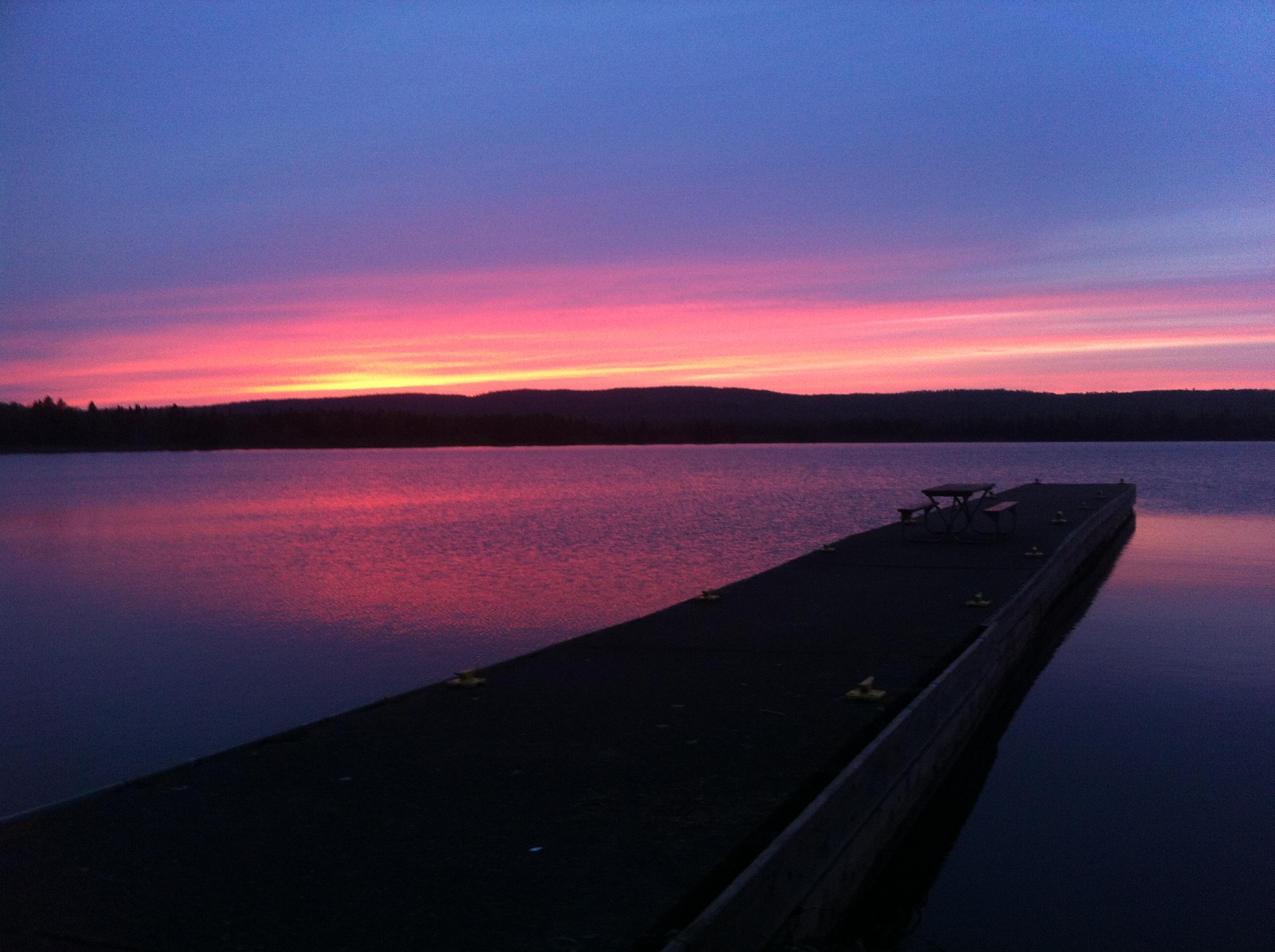
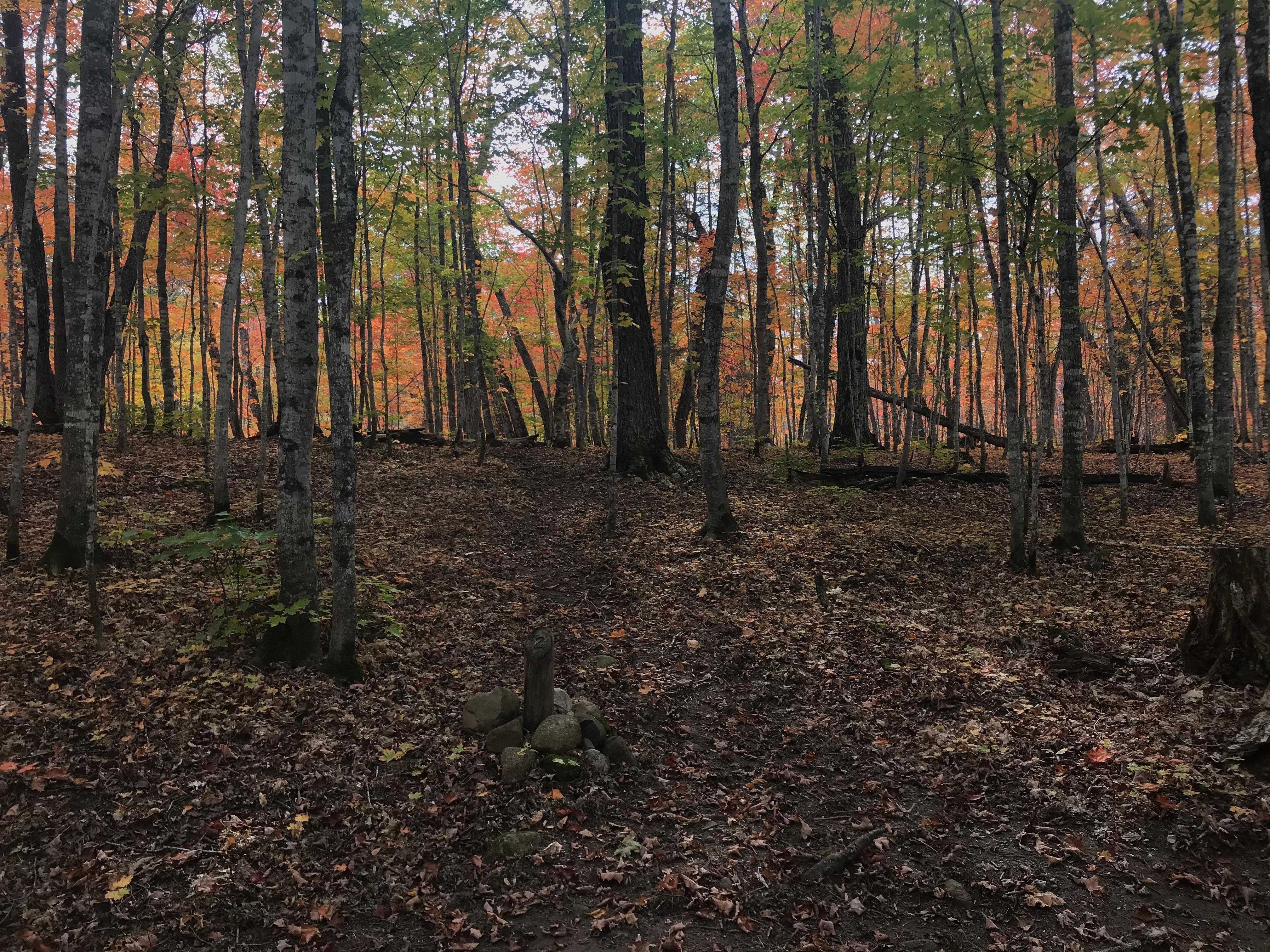
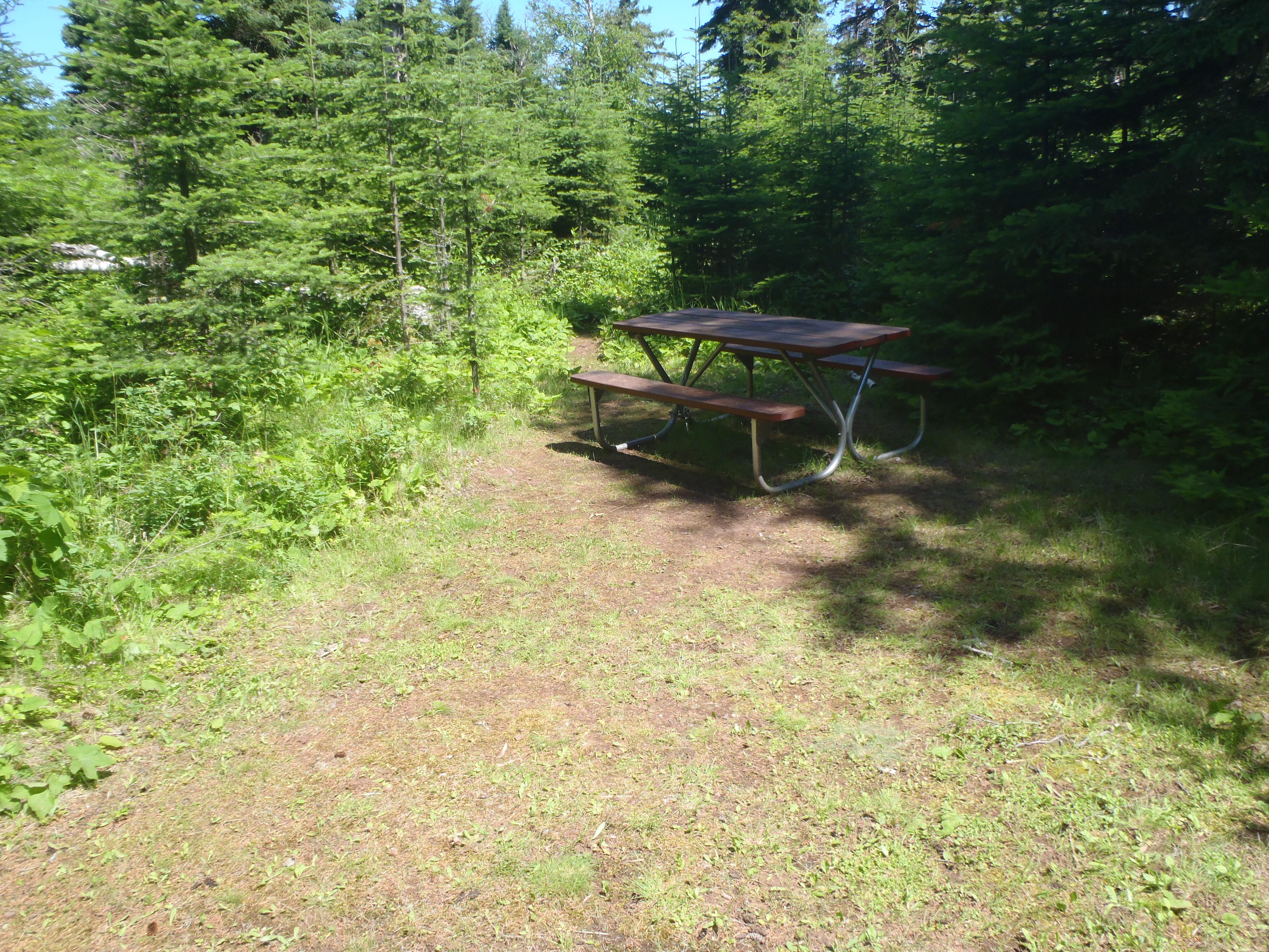
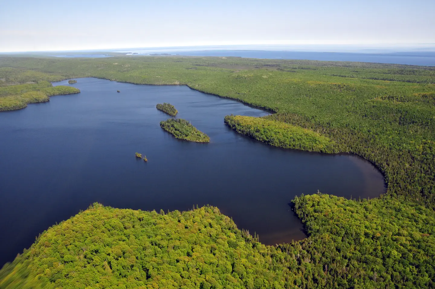
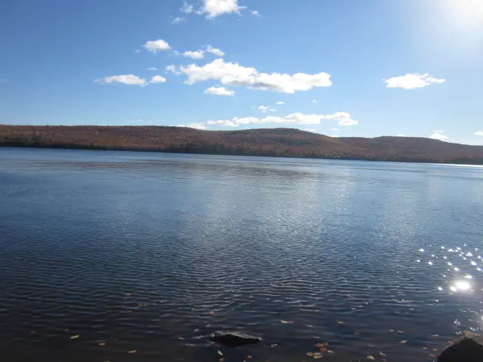
Siskiwit Bay Campground is located in Siskiwit Bay on the southwest end of Isle Royale National Park, off of the Island Mine and Feldtmann Ridge Trails. Boats can overnight at dock. Stay Limit: 3 nights from June 1 to Labor Day annually. Shelters: 2 Depth at dock (normal conditions): 2’-6’. Access: Foot/canoe/kayak/private boat
More like this: first-come in Michigan
Weather by month
Getting there
Siskiwit Bay Campground is located in Siskiwit Bay on the southwest end of Isle Royale National Park, off of the Island Mine and Feldtmann Ridge Trails.
| Nearest town | Houghton, Michigan |
| Coordinates | 47.8904° N, 88.9988° W · Directions ↗ |
Supplies & services
| Dump station | Dump station ↗ | 33.9 mi |
| Outdoor gear | Mountain Warehouse ↗ | 37.2 mi |
| RV sales & service | KingStar ↗ | 57.3 mi |
Locations © OpenStreetMap contributors. Call ahead; hours change seasonally.
Explore
Public land it sits in
Isle Royale Wilderness begins about 0.3 miles away, and it is the closest of these.
- 0.3 miIsle Royale Wilderness ↗Wilderness · National Park Service · 132,018 acres
Each unit is published as a centre point and an acreage rather than a boundary, so this section stands it in for a circle of the same area. Whether a campground is inside, and how far it is from one it is outside, are both approximate.
Other campgrounds nearby
On the National Register nearby
- New Feldtmann Fire TowerStructure · Houghton · 4.8 mi
- Ishpeming Fire TowerStructure · Houghton · 8 mi
- Johns HotelHistoric district · Isle Royale National Park · 10.9 mi
Guidebooks for Isle Royale National Park and Michigan
We earn a small commission if you buy through these links. It does not change what we list.
Titles come from Open Library's catalog, matched by subject heading or by title.
Reference
Questions people ask
Do I need a reservation at Siskiwit Bay Campground?
No. Siskiwit Bay Campground is first-come, first-served. Sites are taken on arrival and paid at the fee station.
What is the nearest town to Siskiwit Bay Campground?
Houghton, Michigan.
Source: Getting there
What if Siskiwit Bay Campground is full?
The nearest public campgrounds are Island Mine Campground (3.3 mi, first-come), Hay Bay Campground (4.1 mi, first-come), and South Lake Desor Campground (5.7 mi, first-come).
Source: Campgrounds nearby
Which national park is Siskiwit Bay Campground in?
Siskiwit Bay Campground is a Isle Royale National Park campground. Entrance fees, alerts, and hours are on Park Atlas.
Source: Isle Royale National Park