Marvine Campground
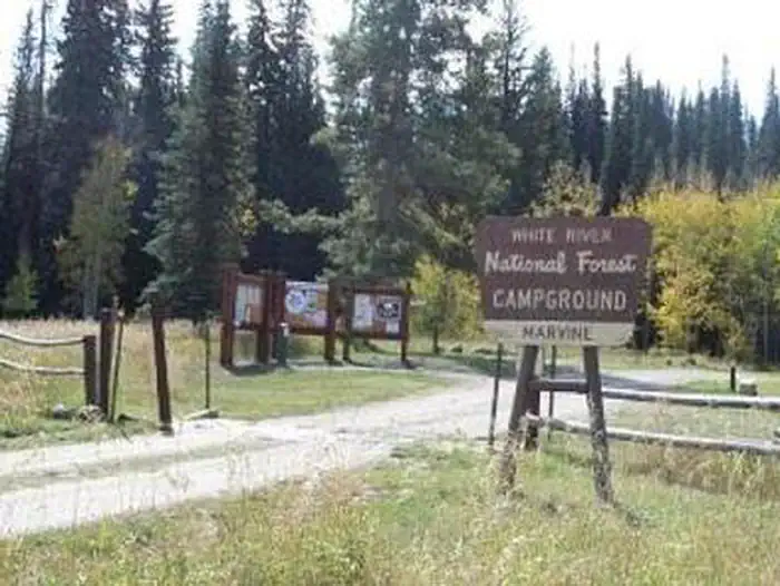
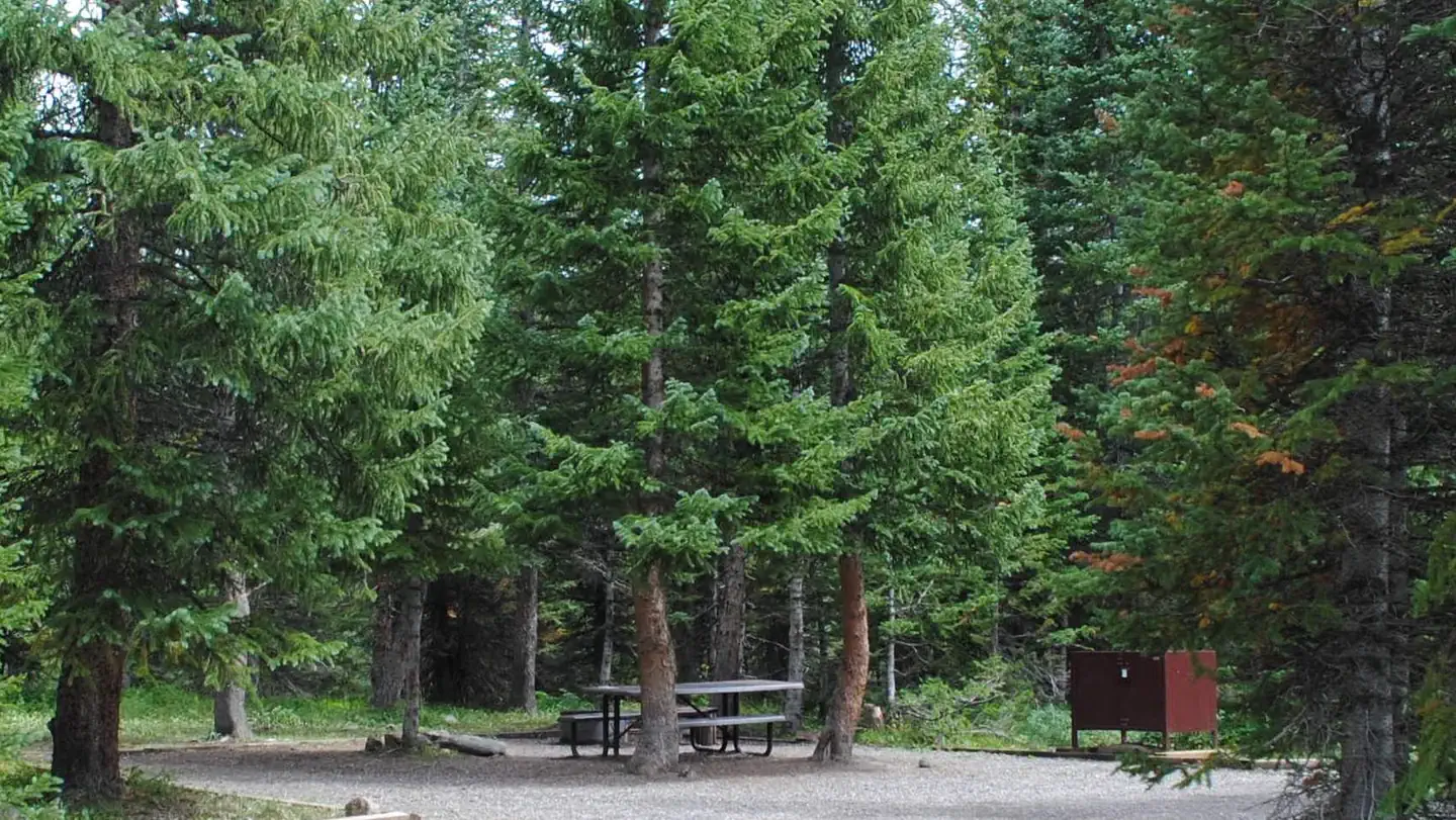
Marvine Campground is set in a towering grove of mixed conifer and aspen trees on the western slope of the Colorado Rockies at an elevation of 8,200 feet. This is an ideal setting for guests seeking recreation and relaxation. Hikers, hunters, anglers and equestrians can also find recreational opportunities nearby. This is a good base for hiking and horseback riding in the Flat Tops Wilderness. Enjoy elk hunting amidst one of the largest elk herds in North America.
More like this: reservable in Colorado · big rigs in Colorado · pets allowed in Colorado
Check availability on Recreation.gov ↗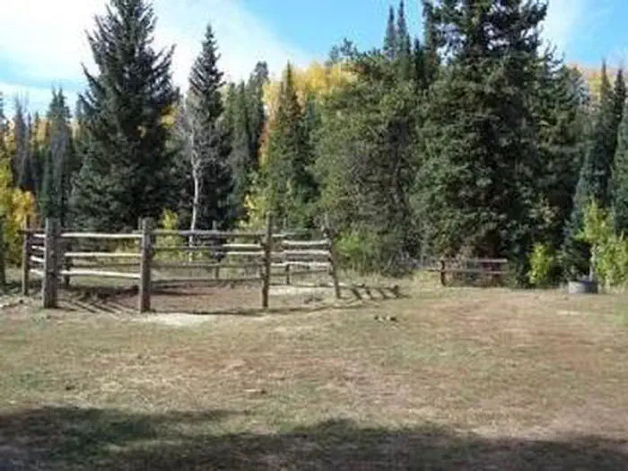
Site mix
| Standard, no hookups | 17 |
| Equestrian | 5 |
| Host/management | 1 |
Site guide
Will my RV fit
The longest site here provides 40 feet of vehicle capacity. Most sites are shorter.
22 sites in 3 loops. Tap a filter to narrow the list; the map follows.
| Site | Loop | Type | Entry | Fits, ft | Surface | Shade | People / vehicles | Fires | Accessible | Rating |
|---|---|---|---|---|---|---|---|---|---|---|
| 2 | 1 | Standard | Pull-through | 35 | Gravel | Partial | 10 / 1 | Yes | Yes | Preferred |
| 3 | 1 | Standard | Back-in | 45 | Gravel | Partial | 10 / 1 | Yes | Basic | |
| 4 | 1 | Standard | Pull-through | 40 | Gravel | 10 / 1 | Yes | Preferred | ||
| 5 | 1 | Standard | Pull-through | 35 | Gravel | Partial | 10 / 1 | Yes | Preferred | |
| 6 | 1 | Standard | Back-in | 48 | Gravel | Partial | 10 / 1 | Yes | Basic | |
| 7 | 1 | Standard | Back-in | 46 | Gravel | Partial | 10 / 1 | Yes | Basic | |
| 8 | 1 | Standard | Back-in | 52 | Gravel | Partial | 10 / 1 | Yes | Basic | |
| 9 | 1 | Standard | Back-in | 61 | Gravel | Partial | 10 / 1 | Yes | Basic | |
| 10 | 1 | Standard | Back-in | 52 | Gravel | Partial | 10 / 1 | Yes | Basic | |
| 11 | 2 | Standard | Pull-through | 40 | Gravel | Partial | 10 / 1 | Yes | Basic |
Per-site records as published by the managing agency on Recreation.gov. Blank cells mean the agency listed nothing for that site. Check-in 2:00 PM, checkout 11:00 AM.
Amenities & rules
| Hookups | None |
| Max vehicle length | 40 ft |
| Equipment | RVs & trailers, Tents |
| Pets | Allowed |
| Campfires | Allowed, subject to restrictions |
| Accessibility | Sites 2, 14 are listed accessible |
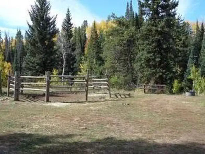
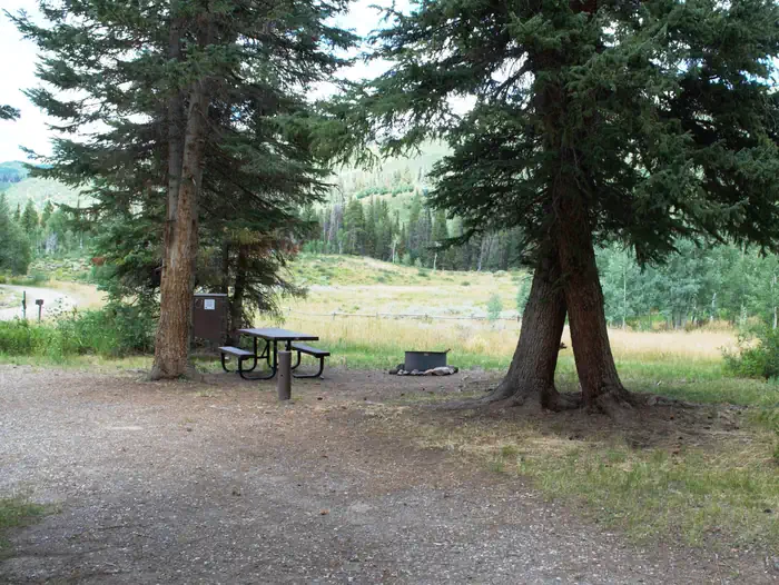
Marvine Campground has five horse campsites. The only corrals available for public use are the ones at the horse camp sites in the campground. The corrals at the Marvine Trailhead are for Outfitter and Guide use only. Additional facilities at the campground include tables, fire grates, vault toilets and hand pump drinking water. Trash service is provided. Electrical hook-ups are not available. Livestock may be watered in the stream, about 200 yards from the campground.
Individual sites vary. Confirm on Recreation.gov or with the managing office.
Season & status
| Forest | White River National Forest |
| Booking | Visit Recreation.gov |
| Rules | Only certified weed-free forage and bedding is allowed in the campground. The East Marvine and Marvine Trails lead into the Flat Tops Wilderness, where regulations apply |
Weather by month
Getting there
The Marvine Campground is located 35 miles east of Meeker. From Meeker, take Colorado Highway 13 east for 1 mile, then turn east on Rio Blanco County Road 8 and follow this for 28 miles. Turn south (right) at Fritzlans' Guest Ranch, cross the bridge and turn east (left) on Rio Blanco County Road 12. Follow this 6 miles to the Marvine Campground.
| Nearest town | Meeker, Colorado |
| Coordinates | 40.0069° N, 107.4261° W · Directions ↗ |
Supplies & services
| Outdoor gear | Gearhead Outfitters ↗ | 32 mi |
| Dump station | Dump station ↗ | 35.5 mi |
Locations © OpenStreetMap contributors. Call ahead; hours change seasonally.
Explore
Video
Marvine Campground - Meeker Colorado
Worth a stop
East Marvine Trail #1822: The trail leads up East Marvine Creek, through the Flat Tops Wilderness to Johnson Lake. At the summit Big Marvine Peak offers a panoramic view of the Flat Tops Wilderness and the surrounding area. Marvine Trail #1823: The Marvine Trail begins at the end of County Road 12 right outside the campground. It accesses Marvine Creek and Marvine Lakes providing a great opportunity to fish. Marvine Lake and Slide Lake: These two lakes cover 135 surface acres and offer rainbow, brook, and cutthroat trout fishing. West Marvine Trail #1868 Papoose Creek Trail #2248: leads up Papoose Creek past several short waterfalls, to Papoose Basin. It then climbs onto the Flat Tops Plateau where it intersects the Oyster Lake Trail 1825. Ute Creek Trail #1824
- 9.9 mi
- 14.8 miMeadow Lake Picnic Area ↗Day use
Trails nearby
- 0.1 miMuskrat Lakes1.4 mi trail · hiking, horse
- 0.1 miMarvine ↗10.8 mi trail · hiking, horse
- 0.2 miEast Marvine ↗9.9 mi trail · hiking, horse
- 0.2 miWest Marvine ↗6.6 mi trail · hiking, horse
- 1.5 miYellow Horse3.9 mi trail · hiking, horse
- 2 miWild Cow Park3.1 mi trail · hiking, horse
Trailheads within three miles
- 0.1 miMarvine #1823 ↗White River National Forest
- 0.1 miMuskrat Lakes Trailhead #2245 ↗White River National Forest
- 0.2 miWest Marvine #1888 ↗White River National Forest
- 0.3 miEast Marvine TH #1822 ↗White River National Forest
Trail and trailhead records are the Forest Service's. Distances are straight-line to the nearer trail end. Trail conditions are not tracked here.
Public land it sits in
This campground sits inside Flat Tops Wilderness.
- inFlat Tops Wilderness ↗Wilderness · Forest Service · 230,829 acres
- 6.7 miWhite River National Forest ↗National Forest · Forest Service · 2,482,711 acres
Each unit is published as a centre point and an acreage rather than a boundary, so this section stands it in for a circle of the same area. Whether a campground is inside, and how far it is from one it is outside, are both approximate.
Other campgrounds nearby

On the National Register nearby
- Pyramid Guard StationHistoric district · Yampa · 14.7 mi
Natural features
In the heart of the Rocky Mountains, the 2.3 million acre White River National Forest is a place of serenity and adventure, boasting 8 wilderness areas, 4 defined seasons, and 10 peaks surpassing 14,000 feet in elevation. Wildlife in the area abounds. Bighorn sheep navigate rocky ridges, moose graze along the streams and bull elk bugle at dusk. Scenic rivers sustain populations of cutthroat, rainbow, and brown trout. Alpine regions provide habitat for pika and ptarmigan. These species, along with many others, depend on surrounding undeveloped wilderness, clean streams, and diverse forests to live.
Recreation
This popular campground is located 36 miles east of Meeker along Marvine Creek. It offers access to a number of trails and lakes for hiking, fishing and hunting. Fishing is available in Marvine and East Marvine Creeks, and in the Flat Tops Wilderness at Marvine Lakes. Marvine Trail #1823 and East Marvine Trail #1822 both begin near the campground.
Guidebooks for Colorado
We earn a small commission if you buy through these links. It does not change what we list.



Titles come from Open Library's catalog, matched by subject heading or by title.
Reference
Questions people ask
Do I need a reservation at Marvine Campground?
Sites at Marvine Campground are reservable on Recreation.gov. Visit Recreation.gov Any walk-up sites are listed on the booking page.
Source: Recreation.gov
What time is check-in at Marvine Campground?
Check-in 2:00 PM, checkout 11:00 AM.
Source: Recreation.gov
How many sites does Marvine Campground have?
23 sites, including 17 standard sites without power and 5 equestrian sites.
Source: Recreation.gov
Will my RV fit at Marvine Campground?
The longest site here provides 40 feet of vehicle capacity. Most sites are shorter. The sidebar tool checks a trailer or motorhome length against every site.
Source: Will my RV fit
Are pets allowed at Marvine Campground?
Yes, pets are allowed at Marvine Campground. Leash rules apply.
Source: Recreation.gov
Can I have a campfire at Marvine Campground?
Fires are allowed in the provided rings under normal conditions. Only certified weed-free forage and bedding is allowed in the campground.
Source: Recreation.gov
Are there accessible sites at Marvine Campground?
Sites 2 and 14 are listed accessible on Recreation.gov. What that covers (a paved pad, an accessible table, a nearby accessible restroom) is on each site's booking page.
Source: Recreation.gov
Is there cell service at Marvine Campground?
FCC coverage maps show AT&T 4G LTE at the campground point. Terrain changes that from one site to the next.
Source: FCC Broadband Map
What is there to do at Marvine Campground?
This popular campground is located 36 miles east of Meeker along Marvine Creek. The Recreation section on this page has the rest.
Source: Recreation
What is the nearest town to Marvine Campground?
Meeker, Colorado. East Marvine Trail #1822: The trail leads up East Marvine Creek, through the Flat Tops Wilderness to Johnson Lake.
Source: Getting there
What if Marvine Campground is full?
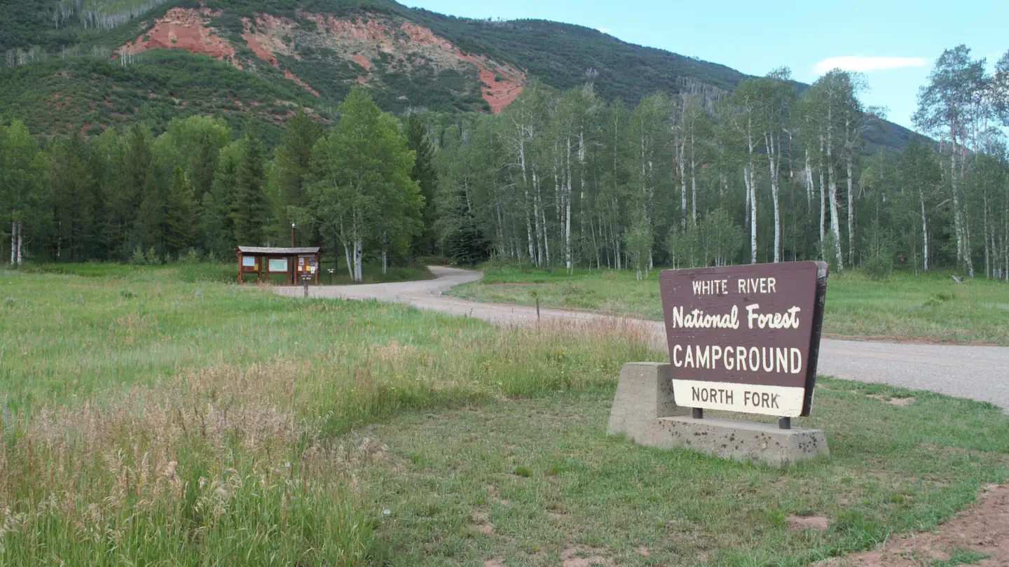
The nearest public campgrounds are North Fork Campground (3.8 mi), Himes Peak Campground (8.3 mi, first-come), and Shepherds Rim Campground (9.7 mi).
Source: Campgrounds nearby