Indian Creek Falls Group Site
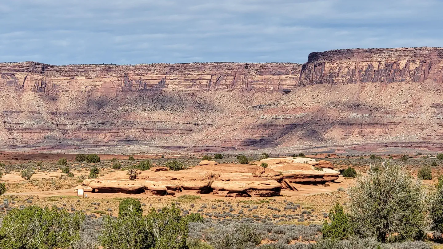
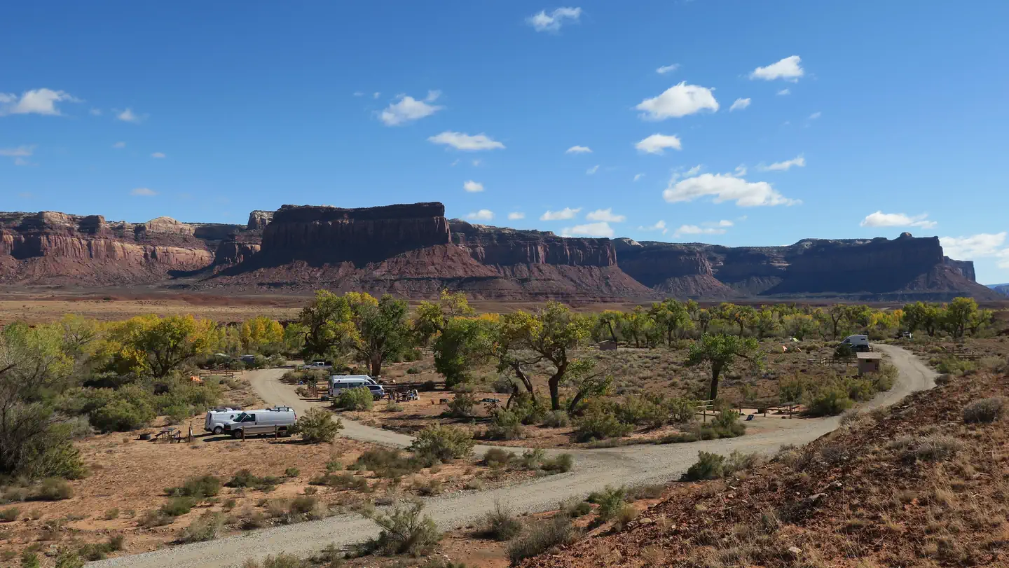
The Indian Creek Falls Group Site is ideal for groups wishing to recreate in the Indian Creek Corridor or to be close to Canyonlands National Park. The site is situated in a small bowl just above the terrace of Indian Creek. Except for three Bureau of Land Management developed recreational facilities and the Dugout Ranch, the Indian Creek Corridor is generally primitive and undeveloped. The Indian Creek area is a popular filming area because of its classical western look. Both commercial advertisements and major motion pictures have been filmed in the area.
More like this: reservable in Utah · pets allowed in Utah · group sites in Utah
Check availability on Recreation.gov ↗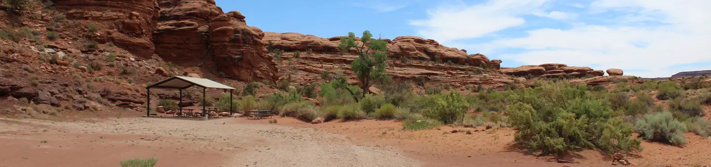
Site mix
| group shelter nonelectric | 1 |
Site guide
1 site. Tap a filter to narrow the list; the map follows.
| Site | Entry | Surface | People / vehicles | Fires |
|---|---|---|---|---|
| Indian Creek Falls Group Site | Pull-through | Gravel | 30 / 10 | Yes |
Per-site records as published by the managing agency on Recreation.gov. Blank cells mean the agency listed nothing for that site. Check-in 2:00 PM, checkout 12:00 PM.
Amenities & rules
| Pets | Allowed |
| Campfires | Allowed, subject to restrictions |
| Fees | $65 per night |
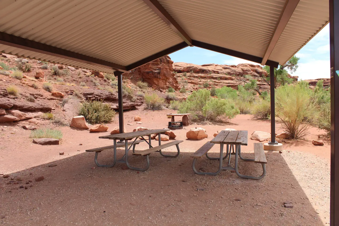
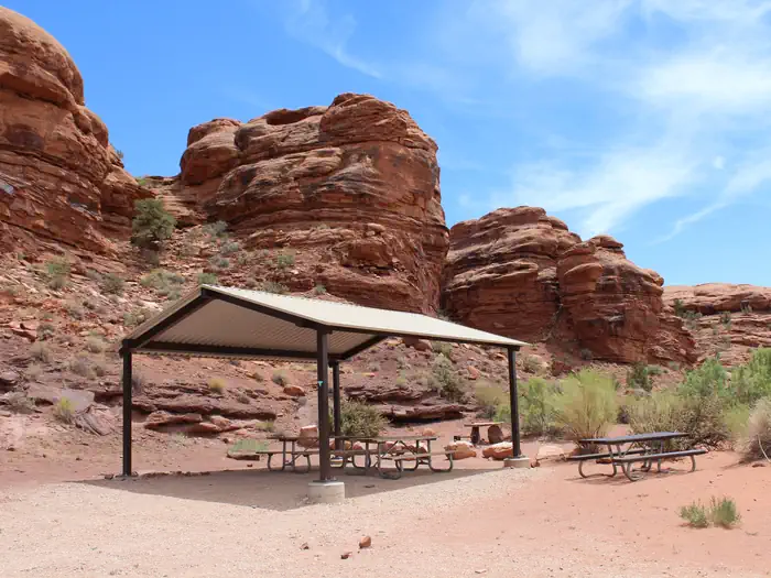
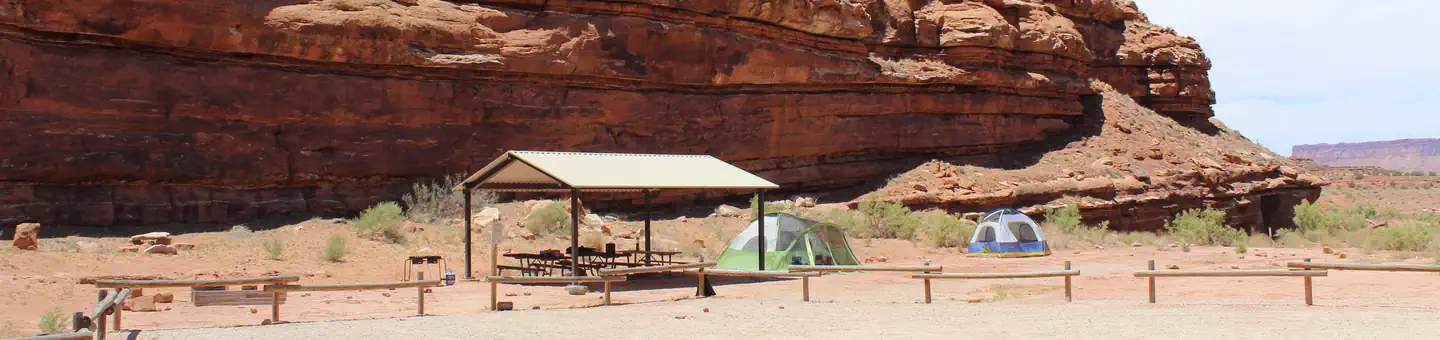
The group site is located near Indian Creek Falls and features tent/trailer space, picnic tables, a fire ring, and a vault toilet. The site can hold approximately 10 vehicles, with a vehicle and trailer counting as two vehicles. There is no water.
Individual sites vary. Confirm on Recreation.gov or with the managing office.
Weather by month
Getting there
Turn west off US 191 onto Highway 211 and travel approximately 23 miles. Take the turn off to the north for Lockhart Basin / Hamburger Rock Campground. Travel approximately 2.2 miles and the destination will be on the west side of the road.
| Nearest town | Monticello, Utah |
| Coordinates | 38.2054° N, 109.6744° W · Directions ↗ |
Supplies & services
| Dump station | Dump station ↗ | 19.5 mi |
| Outdoor gear | Gearheads Outdoor Store ↗ | 25.8 mi |
Locations © OpenStreetMap contributors. Call ahead; hours change seasonally.
Explore
Worth a stop
Indian Creek Falls is close to the Needles District of Canyonlands National Park and Bears Ears National Moument (Indian Creek Unit).
- 14.7 miTrough Springs Canyon Trailhead ↗Trailhead
Public land it sits in
Manti-La Sal National Forest begins about 3.3 miles away, and it is the closest of these.
- 3.3 miManti-La Sal National Forest ↗National Forest · Forest Service · 1,414,386 acres
Each unit is published as a centre point and an acreage rather than a boundary, so this section stands it in for a circle of the same area. Whether a campground is inside, and how far it is from one it is outside, are both approximate.
Other campgrounds nearby
On the National Register nearby
- D.C.C. & P. Inscription "B"Site · Moab · 11.6 mi
- Julien InscriptionSite · Moab · 14.1 mi
Natural features
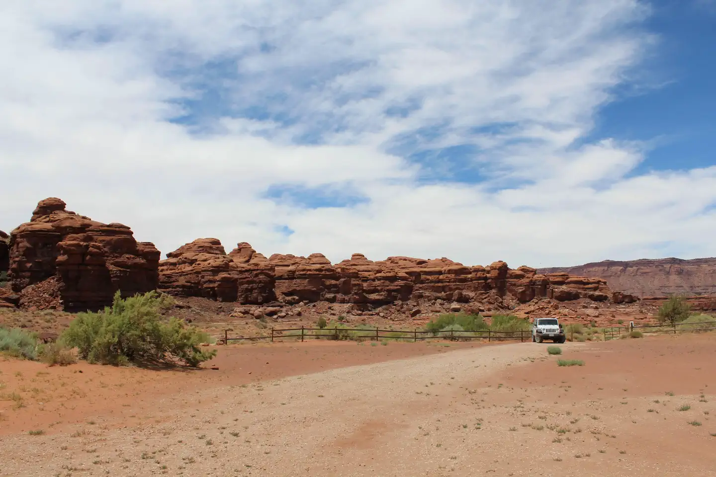
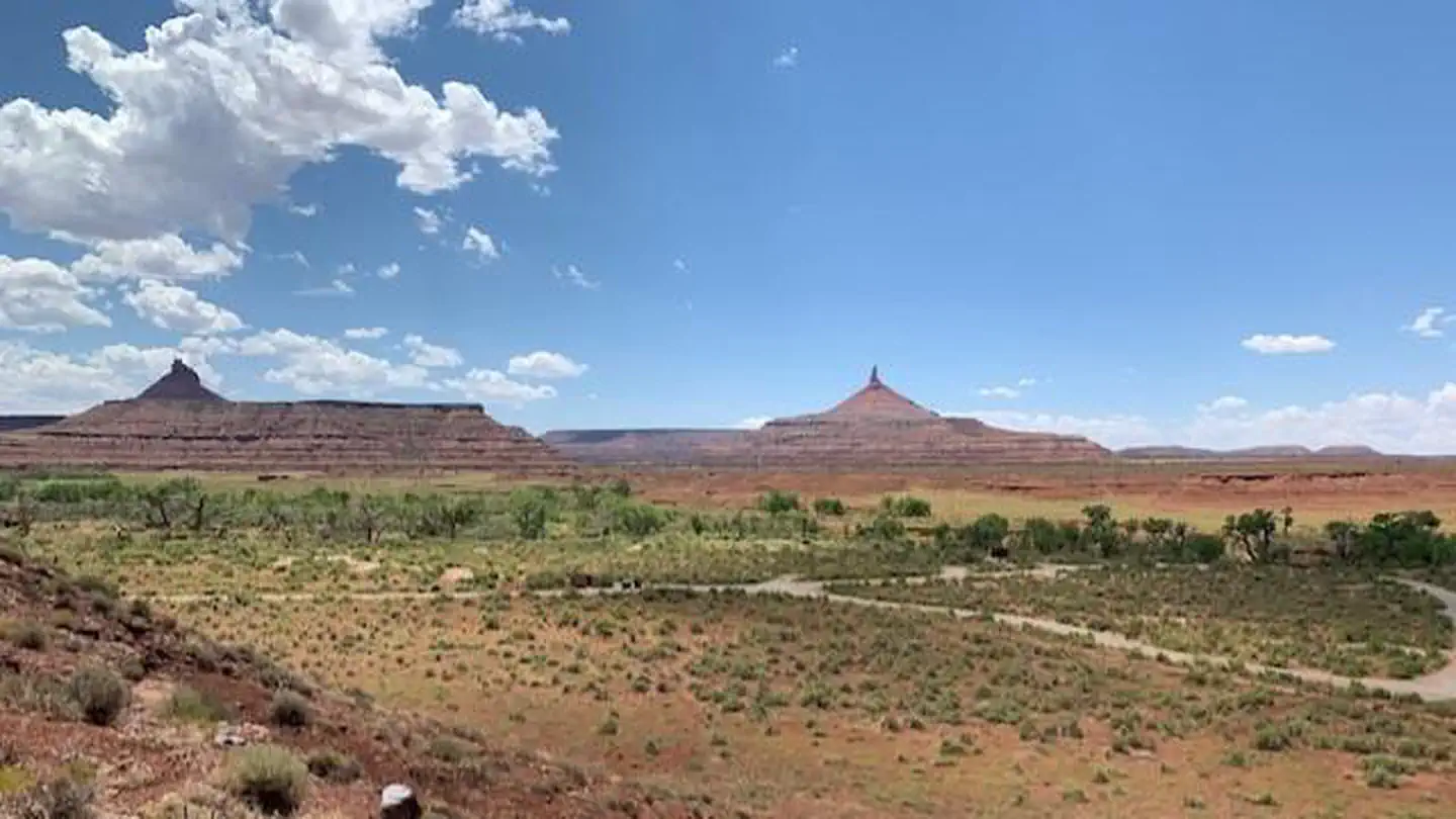
Indian Creek consists of a broad, gently rolling valley bracketed by the sandstone cliffs of Harts Point to the northeast and Bridger Jack Mesa to the southwest. The valley is bisected by both the major thoroughfare of Highway 211 and Indian Creek itself. From Highway 211 interior of the valley is a classic western landscape with panoramic vistas, towering sandstone cliffs and spires, and rolling grasslands.
Recreation
The Indian Creek Corridor has gained international recognition for its extraordinary natural beauty and numerous recreational opportunities. Spectacular landscapes along with rich archeological resources provide visitors with an abundance of recreational opportunities. These opportunities include: hiking, biking, cultural resource viewing, camping, off-highway vehicle (OHV) use, rock climbing, horseback riding, wildlife viewing, sightseeing and scenic photography. These features attract visitors from around the world, who recreate both privately and by hiring commercial outfitters.
Guidebooks for Bears Ears National Monument and Utah
We earn a small commission if you buy through these links. It does not change what we list.

Titles come from Open Library's catalog, matched by subject heading or by title.
Reference
Questions people ask
Do I need a reservation at Indian Creek Falls Group Site?
Sites at Indian Creek Falls Group Site are reservable on Recreation.gov. Any walk-up sites are listed on the booking page.
Source: Recreation.gov
How much does it cost to camp at Indian Creek Falls Group Site?
$65 per night
Source: Recreation.gov
What time is check-in at Indian Creek Falls Group Site?
Check-in 2:00 PM, checkout 12:00 PM.
Source: Recreation.gov
How many sites does Indian Creek Falls Group Site have?
1 site, including 1 group shelter nonelectric.
Source: Recreation.gov
Are pets allowed at Indian Creek Falls Group Site?
Yes, pets are allowed at Indian Creek Falls Group Site. Leash rules apply.
Source: Recreation.gov
Can I have a campfire at Indian Creek Falls Group Site?
Fires are allowed in the provided rings under normal conditions.
Source: Recreation.gov
What is there to do at Indian Creek Falls Group Site?
The Indian Creek Corridor has gained international recognition for its extraordinary natural beauty and numerous recreational opportunities. The Recreation section on this page has the rest.
Source: Recreation
What is the nearest town to Indian Creek Falls Group Site?
Monticello, Utah. Indian Creek Falls is close to the Needles District of Canyonlands National Park and Bears Ears National Moument (Indian Creek Unit).
Source: Getting there
What if Indian Creek Falls Group Site is full?
The nearest public campgrounds are Hamburger Rock Campground (1 mi, partly first-come), Creek Pasture Group Site (3.3 mi), and Creek Pasture Campground (3.6 mi, partly first-come).
Source: Campgrounds nearby