Reynolds Creek Group Campground
The Reynolds Creek Group Campground is a rustic and secluded, creek side camp located on the Pleasant Valley Ranger District in the Tonto National Forest. The primitive group camping area is nestled between towering ponderosa pine at an elevation of 5,250 feet and provides a great base camp for a wide range of recreational activities including, hiking, fishing, hunting, and nature photography.
More like this: reservable in Arizona · tent only in Arizona · pets allowed in Arizona · group sites in Arizona
Check availability on Recreation.gov ↗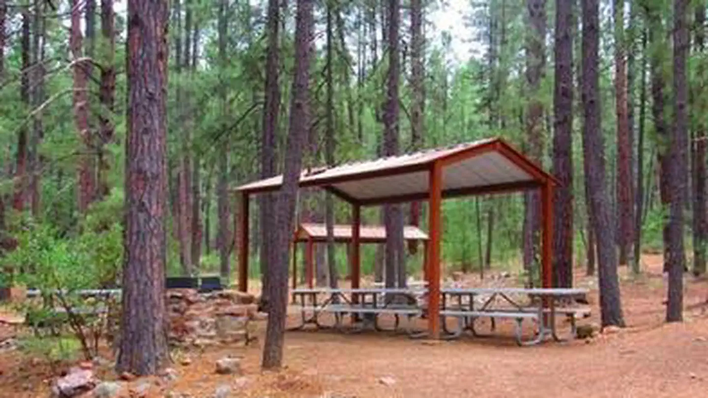
Site mix
| group standard area nonelectric | 1 |
Site guide
1 site. Tap a filter to narrow the list; the map follows.
| Site | Entry | Surface | Shade | Waterfront | People / vehicles | Fires | Accessible | Rating |
|---|---|---|---|---|---|---|---|---|
| Reynolds Creek Group Campground/1 | Pull-through | Gravel | Full | Riverfront | 75 / 40 | Yes | Yes | Standard |
Per-site records as published by the managing agency on Recreation.gov. Blank cells mean the agency listed nothing for that site. Check-in 2:00 PM, checkout 11:00 AM.
Amenities & rules
| Max vehicle length | 21 ft |
| Equipment | Tents |
| Pets | Allowed |
| Campfires | Allowed, subject to restrictions |
| Accessibility | Site Reynolds Creek Group Campground/1 is listed accessible |
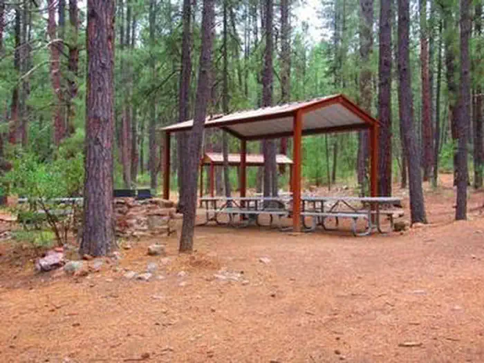
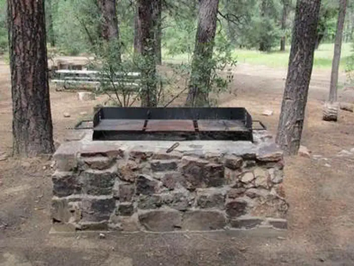
The site includes two large ramadas, eight picnic tables, group grill, one large metal campfire ring, and one vault toilet.
Individual sites vary. Confirm on Recreation.gov or with the managing office.
Season & status
| Status | Open |
| Season | March 1 |
| Forest | Tonto National Forest |
| Booking | Reservations must be made 3 days ahead of arrival and can be made up to 12 months in advance. |
| Fees | $75 per night and extra vehicles $10 per day. More information can be found at Recreation.gov |
| Rules | 14-day stay limit. This site is very remote and is accessible only by dirt roads. Bears are present in the area. Please store food appropriately. A combination code is needed to access the facility. Please check your confirmation letter for the combination code. Fires are only allowed in the established steel fire rings of which there are four (4). |
Weather by month
Getting there
From Young, drive 20 miles south on State Hwy. 288 (unpaved). Site is on the right and is signed. From Hwy 188, drive 27 miles north on State Hwy. 288 (partially paved).
| Nearest town | Payson, Arizona |
| Coordinates | 33.8723° N, 110.9775° W · Directions ↗ |
Fire nearby
- PrescribedD2 Sinkhole Rx
31 mi from the campground · 875 acres
- PrescribedD2 Dye Rx
39 mi from the campground · 5,246 acres
- PrescribedD2 Vincent Rx
40 mi from the campground · 2,258 acres
- PrescribedTillman Rx
40 mi from the campground
Distance is to the reported incident point, not the fire edge. Call the managing office before you drive.
Supplies & services
| Dump station | Woods Canyon Dump Station ↗ | 31.1 mi |
| RV sales & service | RV Park Model Traders ↗ | 47.4 mi |
Locations © OpenStreetMap contributors. Call ahead; hours change seasonally.
Explore
Trails nearby
- 0.1 miMcFadden Park ↗5 mi trail · hiking, horse, bike
- 0.2 miHells Hole ↗5.3 mi trail · hiking, horse, bike
- 1.3 miMcFadden Horse3.3 mi trail · hiking, horse, bike
- 1.4 miCienega3.3 mi trail · hiking, horse, bike
- 2.2 miBoyer ↗5 mi trail · hiking, horse
- 3.4 miReynolds Creek3.7 mi trail · hiking, horse, bike
Trail and trailhead records are the Forest Service's. Distances are straight-line to the nearer trail end. Trail conditions are not tracked here.
Public land it sits in
This campground sits inside Tonto National Forest.
- inTonto National Forest ↗National Forest · Forest Service · 2,966,417 acres
- 2.5 miSierra Ancha Wilderness ↗Wilderness · Forest Service · 20,253 acres
- 2.6 miSalome Wilderness ↗Wilderness · Forest Service · 18,534 acres
Each unit is published as a centre point and an acreage rather than a boundary, so this section stands it in for a circle of the same area. Whether a campground is inside, and how far it is from one it is outside, are both approximate.
Other campgrounds nearby
Natural features
The group site is located adjacent to Reynolds Creek, which runs year round. Opportunities for wading, fishing, and hiking abound. Berry picking is a popular activity in the fall. A thick stand of ponderosa pine covers the group area, offering pleasant shade. A large meadow provides the perfect place for group activities and games.
Recreation
The site is located between the Salome and Sierra Ancha Wilderness Areas and adjacent to the From the Desert to the Tall Pines National Scenic Byway. Two trailheads are located within a quarter mile of the campground and provide access to the Wilderness Areas as well as a lookout tower.
Nearby
Workman Creek is located two miles to the south and has cascading waterfalls and plenty of opportunities for berry picking in the fall. Hikers and equestrians can explore the area's majestic scenery on meandering trails.
Guidebooks for Tonto National Forest and Arizona
We earn a small commission if you buy through these links. It does not change what we list.
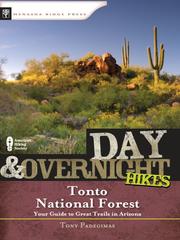
Titles come from Open Library's catalog, matched by subject heading or by title.
Reference
Questions people ask
Do I need a reservation at Reynolds Creek Group Campground?
Sites at Reynolds Creek Group Campground are reservable on Recreation.gov. Reservations must be made 3 days ahead of arrival and can be made up to 12 months in advance. Any walk-up sites are listed on the booking page.
Source: Recreation.gov
How much does it cost to camp at Reynolds Creek Group Campground?
$75 per night and extra vehicles $10 per day. More information can be found at Recreation.gov
Source: Recreation.gov
What time is check-in at Reynolds Creek Group Campground?
Check-in 2:00 PM, checkout 11:00 AM.
Source: Recreation.gov
Is Reynolds Creek Group Campground open right now?
Open as of Oct 16, 2026. Season March 1.
Source: Forest Service status
How many sites does Reynolds Creek Group Campground have?
1 site, including 1 group standard area nonelectric.
Source: Recreation.gov
Will my RV fit at Reynolds Creek Group Campground?
The longest site here provides 21 feet of vehicle capacity. Most sites are shorter. The sidebar tool checks a trailer or motorhome length against every site.
Source: Will my RV fit
Are pets allowed at Reynolds Creek Group Campground?
Yes, pets are allowed at Reynolds Creek Group Campground. Leash rules apply.
Source: Recreation.gov
Can I have a campfire at Reynolds Creek Group Campground?
Fires are allowed in the provided rings under normal conditions. As of 2026-10-16, there are 4 active fires within 50 miles, so check current restrictions before you light one. 14-day stay limit.
Source: Fire nearby
Are there accessible sites at Reynolds Creek Group Campground?
Site Reynolds Creek Group Campground/1 is listed accessible on Recreation.gov. What that covers (a paved pad, an accessible table, a nearby accessible restroom) is on each site's booking page.
Source: Recreation.gov
What is there to do at Reynolds Creek Group Campground?
The site is located between the Salome and Sierra Ancha Wilderness Areas and adjacent to the From the Desert to the Tall Pines National Scenic Byway. The Recreation section on this page has the rest.
Source: Recreation
What is the nearest town to Reynolds Creek Group Campground?
Payson, Arizona. Workman Creek is located two miles to the south and has cascading waterfalls and plenty of opportunities for berry picking in the fall.
Source: Getting there
What if Reynolds Creek Group Campground is full?
The nearest public campgrounds are Schoolhouse Campground (15.5 mi, partly first-come), Windy Hill Campground (15.6 mi, partly first-come), and Cholla Campground (16.2 mi, partly first-come).
Source: Campgrounds nearby