Chilhowee Campground
Located in the Chilhowee Recreation Area, Chilhowee Campground offers a multitude of camping opportunities for both RV and tent sites, many with electric hookups. The day-use area includes McKamy Lake, a swim area with sand beach, picnic sites, a group picnic area, and a bathhouse. Be Aware; Do not use GPS directions: GPS coordinates will direct you up Benton Springs Rd. We recommend using Forest Service Road 77 to reach the recreation area. It's important to note, this facility requires driving 7 miles up to Chilhowee Campground on a narrow, winding road. Do not use the Benton Springs Access Road to the campground as this is an unpaved and dangerous road for RVs.
The group site has its own page: Chilhowee Group Camp.
More like this: electric hookups in Tennessee · reservable in Tennessee · big rigs in Tennessee · pets allowed in Tennessee
Check availability on Recreation.gov ↗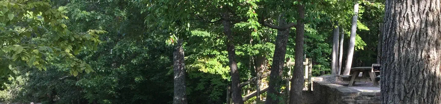
Site mix
| RV with electric | 26 |
| RV, no hookups | 22 |
| tent only electric | 6 |
| Tent-only | 5 |
| Host/management | 2 |
Site guide
Will my RV fit
The longest site here provides 90 feet of vehicle capacity. Most sites are shorter.
59 sites in 6 loops. Tap a filter to narrow the list; the map follows.
| Site | Loop | Type | Entry | Fits, ft | Surface | Shade | Power | People / vehicles | Fires |
|---|---|---|---|---|---|---|---|---|---|
| 01 | A Loop | RV electric | Back-in | 40 | Gravel | Partial | 30 amp | 5 / 2 | Yes |
| 02 | A Loop | RV electric | Back-in | 38 | Gravel | Partial | 30 amp | 5 / 2 | Yes |
| 03 | A Loop | Tent Only Electric | Back-in | 60 | Gravel | Partial | 30 amp | 5 / 2 | Yes |
| 04 | A Loop | Tent Only Electric | Back-in | 60 | Gravel | Partial | 30 amp | 5 / 2 | Yes |
| 05 | A Loop | Tent Only Electric | Back-in | 60 | Gravel | Partial | 30 amp | 5 / 2 | Yes |
| 06 | A Loop | Tent Only Electric | Back-in | 60 | Gravel | Partial | 30 amp | 5 / 2 | Yes |
| 07 | A Loop | RV electric | Back-in | 60 | Gravel | Full | 30 amp | 5 / 2 | Yes |
| 08 | A Loop | RV electric | Back-in | 20 | Gravel | Partial | 30 amp | 5 / 2 | Yes |
| 09 | A Loop | RV electric | Back-in | 90 | Gravel | Partial | 30 amp | 5 / 2 | Yes |
| 10 | A Loop | RV electric | Back-in | 90 | Gravel | Partial | 30 amp | 5 / 2 | Yes |
Per-site records as published by the managing agency on Recreation.gov. Blank cells mean the agency listed nothing for that site. Check-in 3:00 PM, checkout 2:00 PM.
Amenities & rules
| Hookups | Electric |
| Max vehicle length | 90 ft |
| Equipment | RVs & trailers, Tents |
| Pets | Allowed |
| Campfires | Allowed, subject to restrictions |
Picnic tables, grills, and lantern posts are located at each site. Bathhouses providing flush toilets and warm showers are available in each loop, as well as in the day use area. Water hydrants are located throughout the campground. An RV dump station is located at the end of E Loop. Loops A and B offer walk-in tent sites with electricity. Be Aware; Do not use GPS directions: GPS coordinates will direct you up Benton Springs Rd. We recommend using Forest Service Road 77 to reach the recreation area. It's important to note, this facility requires driving 7 miles up to Chilhowee Campground on a narrow, winding road. Do not use the Benton Springs Access Road to the campground as this is an unpaved and dangerous road for RVs. Inexperienced RV drivers may have difficulties getting to and around the site.
Individual sites vary. Confirm on Recreation.gov or with the managing office.
Weather by month
Getting there
The campground is located on FDR 77/Oswald Dome Road. Be Aware; Do not use GPS directions: GPS coordinates will direct you up Benton Springs Rd. This route is not recommended. We recommend using Forest Service Road 77 to reach the recreation area.
| Nearest town | Benton, Tennessee |
| Coordinates | 35.1538° N, 84.6091° W · Directions ↗ |
Good to know
- This route is not recommended.
Fire nearby
- PrescribedRx - West Viniard Alexander
40 mi from the campground · 175 acres
Distance is to the reported incident point, not the fire edge. Call the managing office before you drive.
Supplies & services
| Outdoor gear | Benton Shooters Supply ↗ | 2.8 mi |
| Dump station | Dump station ↗ | 15.1 mi |
| RV sales & service | Rick's RV Center ↗ | 31.5 mi |
Locations © OpenStreetMap contributors. Call ahead; hours change seasonally.
Explore
Video
Covert Adventures Chilhowee Recreation area (S1 E 2)
Worth a stop
In addition to the immediate local activities, world class whitewater rafting opportunities are nearby on the Ocoee and Hiwassee Rivers.
- 3.1 miMac Point Beach ↗Swimming
- 3.2 miClemmer Trailhead ↗Trailhead
- 6.8 miHiwassee River Picnic Area ↗Day use
- 7.1 miChilders Creek Trailhead ↗Trailhead
- 8.6 miSpring Creek Shooting Range ↗OHV / range
Trails nearby
- 0.2 miMcKamy Lake Trail0.5 mi trail
- 0.2 miAzalea Hiking Trail2 mi trail
- 0.3 miElderberry Spur0.1 mi trail
- 0.3 miBenton Falls Hiking Trails1.5 mi trail
- 0.3 miBeach0.4 mi trail
- 0.4 miChilhowee Forest Walk0.4 mi trail
Trail and trailhead records are the Forest Service's. Distances are straight-line to the nearer trail end. Trail conditions are not tracked here.
Public land it sits in
Gee Creek Wilderness begins about 8.4 miles away, and it is the closest of these.
- 8.4 miGee Creek Wilderness ↗Wilderness · Forest Service · 2,559 acres
- 8.8 miBig Frog Wilderness ↗Wilderness · Forest Service · 8,502 acres
- 9.3 miLittle Frog Mountain Wilderness ↗Wilderness · Forest Service · 5,634 acres
Each unit is published as a centre point and an acreage rather than a boundary, so this section stands it in for a circle of the same area. Whether a campground is inside, and how far it is from one it is outside, are both approximate.
Other campgrounds nearby


On the National Register nearby
- Polk County CourthouseBuilding · Benton · 2.8 mi
- William Wiggins HouseBuilding · Benton · 2.9 mi
- Nancy Ward TombObject · Benton · 4.1 mi
Natural features
The Cherokee National Forest is located in eastern Tennessee and stretches from Chattanooga to Bristol along the North Carolina border. The 650,000-acre swath of land is Tennessee's only national forest. It lies in the heart of the Southern Appalachians and is home to more than 20,000 species of plants and animals, as well as many rivers, creeks and lakes.
Recreation
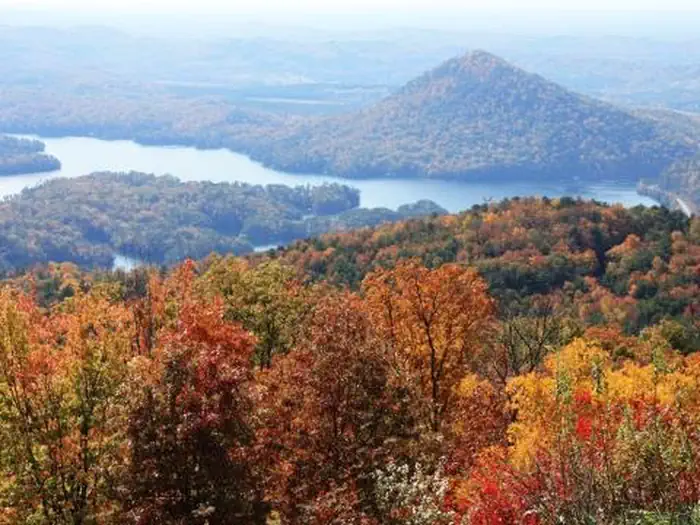
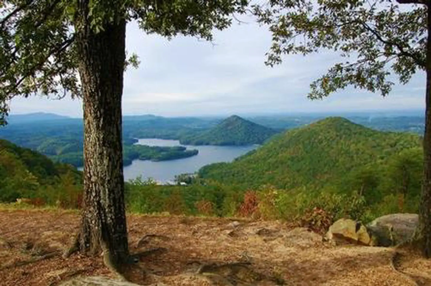
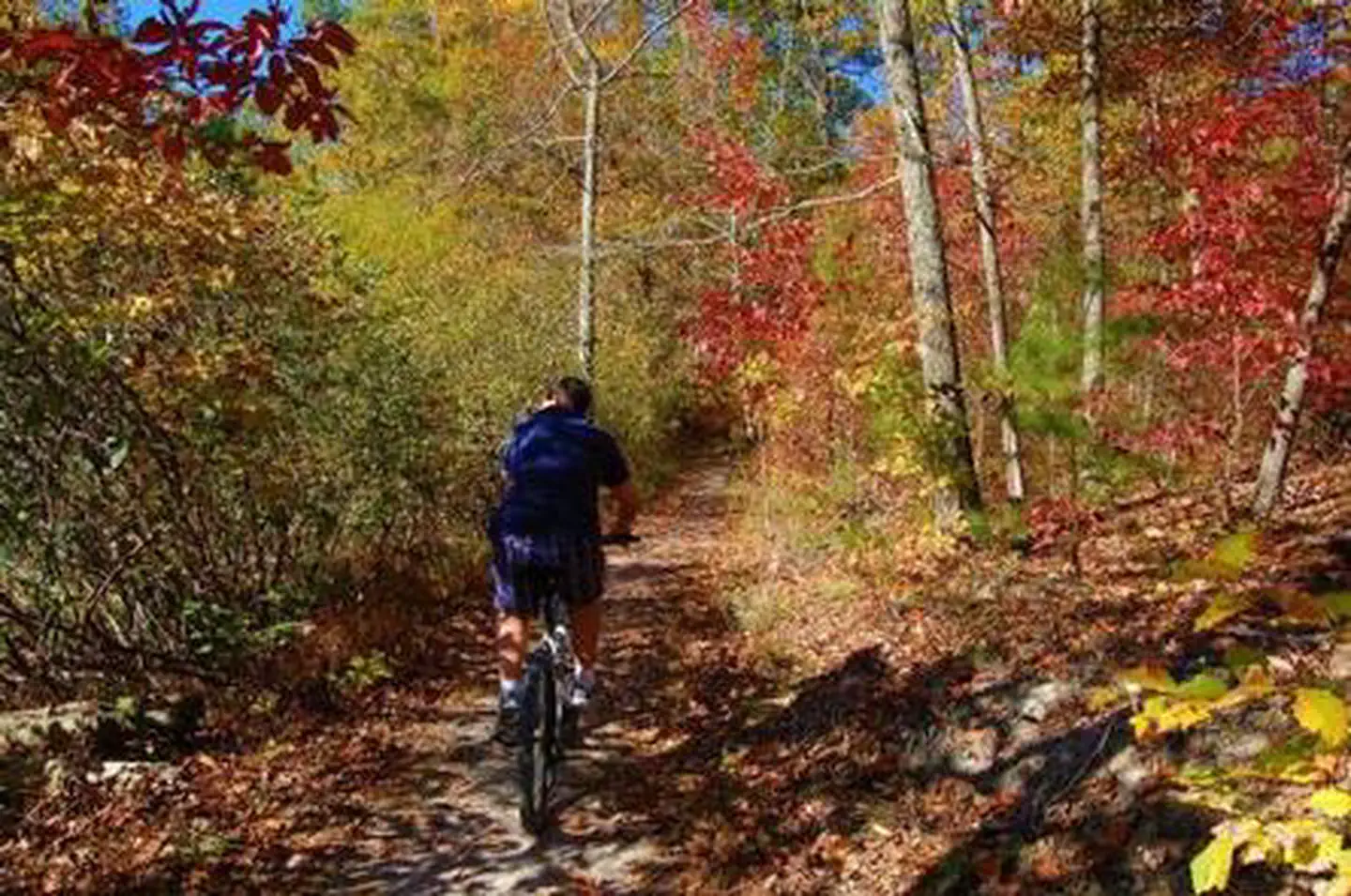
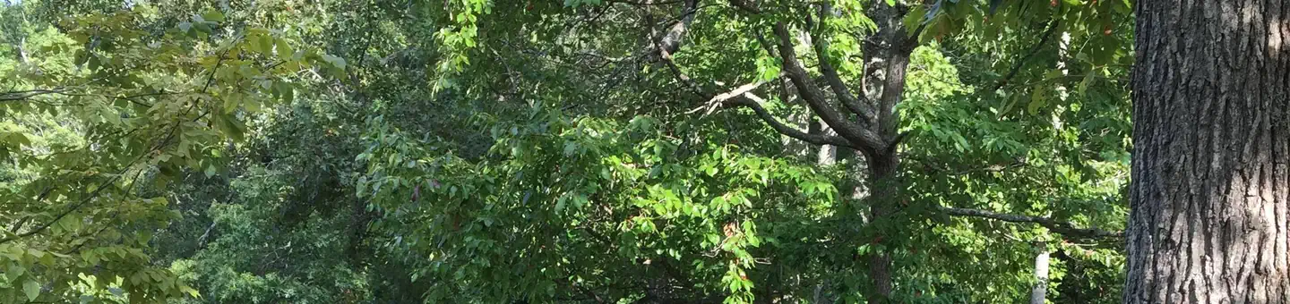
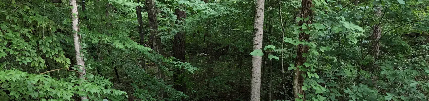
Chilhowee Recreation Area is an excellent hub for hiking and mountain biking in the Chilhowee Trails System, fishing in McKamy Lake, and wildlife viewing without having to get in your car. The 7-acre McKamy Lake offers a swim area with a sand beach, and fishing from the bank. Boats are allowed, but gasoline motors are not. Within the recreation area are approximately 25 miles of hiking and biking trails, and a scenic waterfall. The views and lake are beautiful, especially hiking to Benton Falls via a 1.5 mile in and out moderate trail. On the drive up to the campground, stop at one of the many observation overlooks to see beautiful mountain settings. Wildlife is abundant in this area, so have your camera ready and tread lightly.
Guidebooks for Cherokee National Forest and Tennessee
We earn a small commission if you buy through these links. It does not change what we list.
- Cherokee National Forest hiking guideWilliam H. Skelton and Lamar Alexander, 2024Find at Bookshop.org
- Campgrounds in and Around the Great Smoky Mountains National ParkGrueen Huffman, 2010Find at Bookshop.org
Titles come from Open Library's catalog, matched by subject heading or by title.
Reference
Questions people ask
Do I need a reservation at Chilhowee Campground?
Sites at Chilhowee Campground are reservable on Recreation.gov. Any walk-up sites are listed on the booking page.
Source: Recreation.gov
What time is check-in at Chilhowee Campground?
Check-in 3:00 PM, checkout 2:00 PM.
Source: Recreation.gov
How many sites does Chilhowee Campground have?
61 sites, including 26 RV sites with electric, 22 RV sites without hookups, 6 tent only electric, and 5 tent-only sites.
Source: Recreation.gov
Will my RV fit at Chilhowee Campground?
Recreation.gov lists no practical vehicle capacity limit for the largest site here, which usually means pull-through or open parking. The sidebar tool checks a trailer or motorhome length against every site.
Source: Will my RV fit
Does Chilhowee Campground have hookups?
Yes, electric hookups at some sites.
Source: Recreation.gov
Are there showers or a dump station at Chilhowee Campground?
Bathhouses providing flush toilets and warm showers are available in each loop, as well as in the day use area.
Source: Recreation.gov
Are pets allowed at Chilhowee Campground?
Yes, pets are allowed at Chilhowee Campground. Leash rules apply.
Source: Recreation.gov
Can I have a campfire at Chilhowee Campground?
Fires are allowed in the provided rings under normal conditions. As of 2026-10-16, there is 1 active fire within 50 miles, so check current restrictions before you light one.
Source: Fire nearby
Is there cell service at Chilhowee Campground?
FCC coverage maps show Verizon 4G LTE, AT&T 4G LTE, and T-Mobile 4G LTE at the campground point. Terrain changes that from one site to the next.
Source: FCC Broadband Map
What is there to do at Chilhowee Campground?
Chilhowee Recreation Area is an excellent hub for hiking and mountain biking in the Chilhowee Trails System, fishing in McKamy Lake, and wildlife viewing without having to get in your car. The Recreation section on this page has the rest.
Source: Recreation
What is the nearest town to Chilhowee Campground?
Benton, Tennessee. In addition to the immediate local activities, world class whitewater rafting opportunities are nearby on the Ocoee and Hiwassee Rivers.
Source: Getting there
What if Chilhowee Campground is full?
The nearest public campgrounds are Chilhowee Group Camp (under 0.1 mi), Parksville Lake RV Campground (3.2 mi), and Lost Corral Horse Camp (6.8 mi, first-come).
Source: Campgrounds nearby