Otter Creek Campground
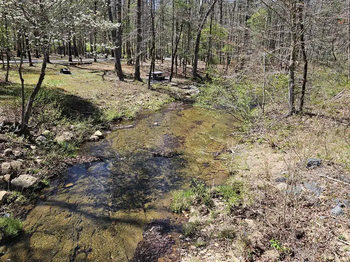
Otter Creek Campground is located at the Blue Ridge Parkway's lowest elevation, only 649 feet above sea level. Picturesque Otter Creek winds through this quiet, rustic campground. Night skies are spectacular here, and there are several nearby trails to hike including the Otter Creek Trail, which is accessible from the campground. Just imagine enjoying the crackle of an evening campfire with the murmur of the creek in the background! Relax.
More like this: reservable in Virginia · big rigs in Virginia · pets allowed in Virginia
Check availability on Recreation.gov ↗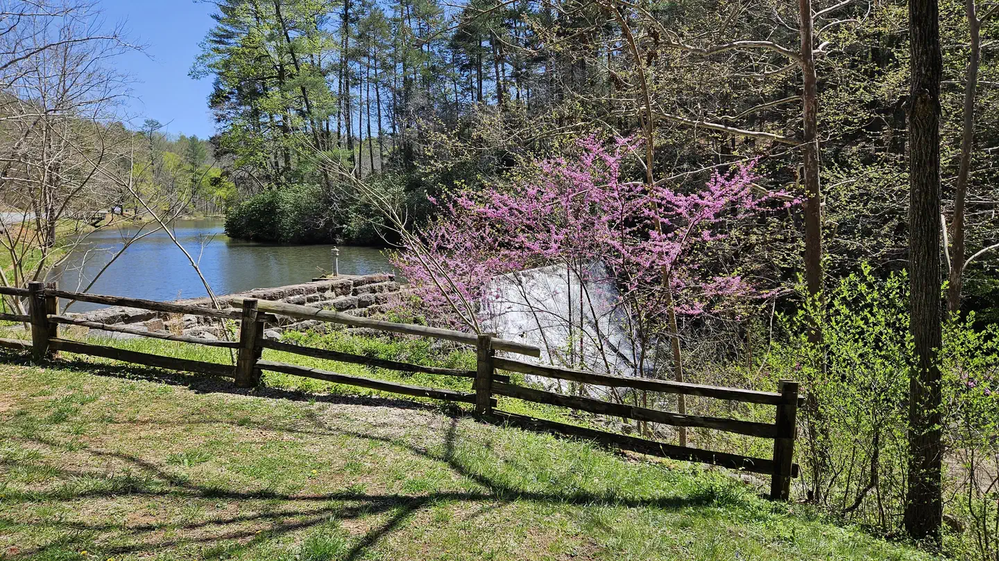

Site mix
| Tent-only | 45 |
| RV, no hookups | 23 |
| Host/management | 1 |
Site guide
Will my RV fit
The longest site here provides 80 feet of vehicle capacity. Most sites are shorter.
68 sites in 2 loops. Tap a filter to narrow the list; the map follows.
| Site | Loop | Type | Entry | Fits, ft | Surface | Shade | People / vehicles | Fires | Accessible |
|---|---|---|---|---|---|---|---|---|---|
| 047 | A | RV | Back-in | 18 | Paved | Full | 6 / 2 | Yes | |
| 048 | A | RV | Pull-through | 80 | Paved | Full | 6 / 3 | Yes | Yes |
| 049 | A | RV | Back-in | 21 | Paved | Full | 6 / 2 | Yes | |
| 050 | A | RV | Pull-through | 53 | Paved | Full | 6 / 2 | Yes | Yes |
| 051 | A | RV | Back-in | 23 | Paved | Full | 6 / 2 | Yes | |
| 052 | A | RV | Back-in | 30 | Paved | Full | 6 / 2 | Yes | |
| 053 | A | RV | Back-in | 33 | Paved | Full | 6 / 1 | Yes | |
| 054 | A | RV | Pull-through | 66 | Paved | Full | 6 / 2 | Yes | |
| 055 | A | RV | Back-in | 20 | Paved | Full | 6 / 3 | Yes | |
| 056 | A | RV | Back-in | 31 | Paved | Full | 6 / 1 | Yes |
Per-site records as published by the managing agency on Recreation.gov. Blank cells mean the agency listed nothing for that site. Check-in 3:00 PM, checkout 12:00 PM.
Amenities & rules
| Hookups | None |
| Max vehicle length | 66 ft |
| Equipment | RVs & trailers, Tents |
| Pets | Allowed |
| Campfires | Allowed, subject to restrictions |
| Tent pads | Yes |
| Accessibility | Sites 048, 050, 042, 044 are listed accessible |
Both RV and tent sites are available at this well-kept campground. Sites are equipped with grills, picnic tables and lantern posts. Amenities such as flush toilets, drinking water and a dump station are also at hand. All sites are available for advance reservation, and may be booked on the day of arrival.
Individual sites vary. Confirm on Recreation.gov or with the managing office.
Weather by month
Getting there
Traveling from the Lynchburg area on Rte 29, turn onto Rte 130 West. Travel approximately 25 miles to the Blue Ridge Parkway entrance. From the ramp, turn right (north) onto the Parkway. Travel one mile to the Otter Creek Campground.
| Coordinates | 37.5756° N, 79.3388° W · Directions ↗ |
Supplies & services
| Outdoor gear | Outdoor Trails ↗ | 11.1 mi |
| RV sales & service | R.B. Taylor & Sons ↗ | 17.8 mi |
| Dump station | Dump station ↗ | 22.1 mi |
Locations © OpenStreetMap contributors. Call ahead; hours change seasonally.
Explore
Video
Camping Otter Creek, Kentucky
Trails nearby
- 0.6 miTerrapin0.5 mi trail · hiking, bike, ATV, e-bike
- 0.8 miPiney0.9 mi trail · hiking, bike, ATV, e-bike
- 1.2 miOtter1 mi trail · hiking, bike, ATV, e-bike
- 1.3 miLone Mountain1.8 mi trail · hiking, bike, ATV, e-bike
- 1.3 miSouth Pedlar ↗10.4 mi trail · hiking, bike, ATV, e-bike
- 1.4 miRattlesnake0.9 mi trail · hiking, bike, ATV, e-bike
Trail and trailhead records are the Forest Service's. Distances are straight-line to the nearer trail end. Trail conditions are not tracked here.
Public land it sits in
James River Face Wilderness begins about 3.8 miles away, and it is the closest of these.
- 3.8 miJames River Face Wilderness ↗Wilderness · Forest Service · 8,907 acres
- 6.7 miGeorge Washington and Jefferson National Forest ↗National Forest · Forest Service · 3,487,961 acres
- 7.1 miThunder Ridge Wilderness ↗Wilderness · Forest Service · 2,427 acres
Each unit is published as a centre point and an acreage rather than a boundary, so this section stands it in for a circle of the same area. Whether a campground is inside, and how far it is from one it is outside, are both approximate.
Other campgrounds nearby
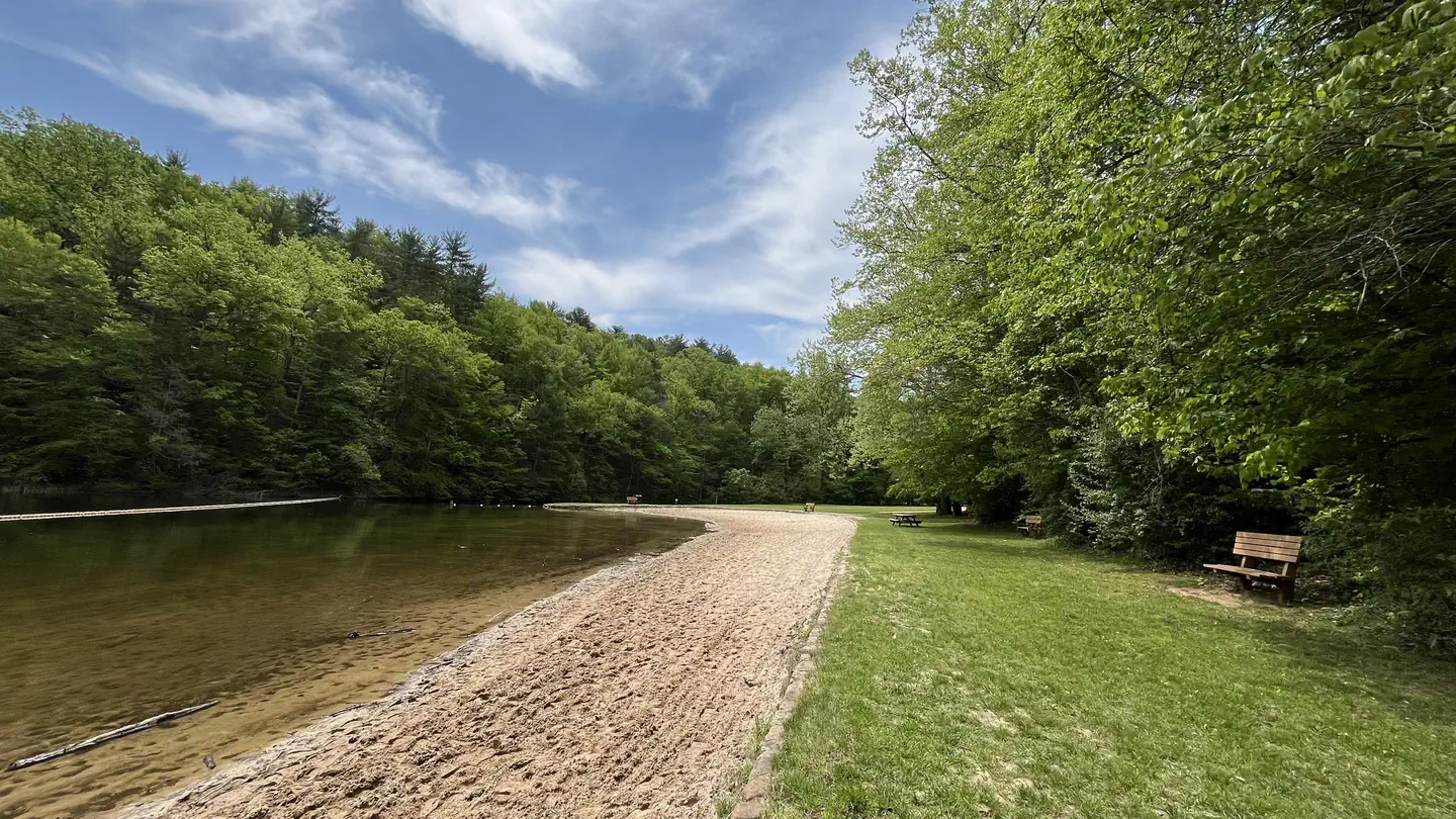
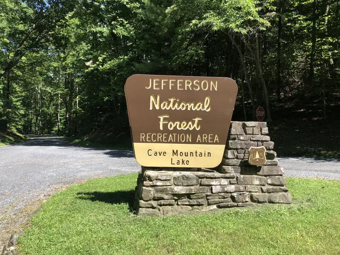

Historic landmarks nearby

.jpg/960px-Barracks_at_Virginia_Military_Institute_(Lexington%2C_Virginia).jpg)

Natural features
This area's abundant water and warmer temperatures support plant and animal communities that are unlike those found at other areas on the Parkway. A short walk along the Trail of Trees or a hike along the clear, cool waters of Otter Creek will give ample proof that there is more to the Blue Ridge Parkway than mountain-top vistas.
Recreation
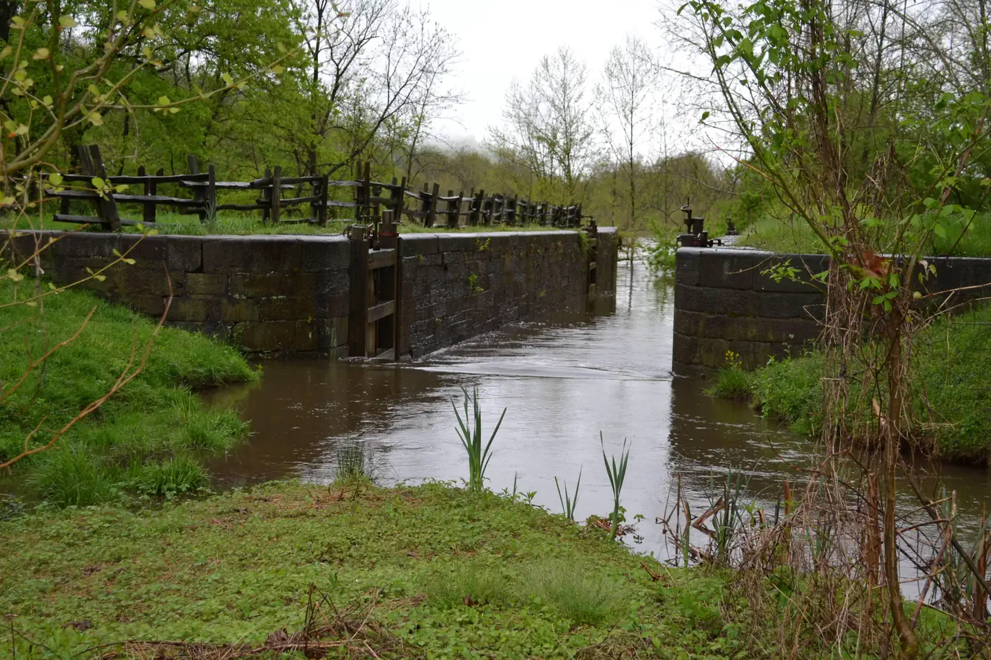
The James River/Otter Creek recreation area has fishing in Otter Lake and a number of hiking trails including Trail of Trees, Otter Creek, Otter Lake Loop, and James River Canal. Hike the Otter Creek Trail to James River Visitor Center. There visitors can view a restored canal lock from the Kanawha Canal, part of the historic James River transporation artery which was once the primary commercial route in the state of Virginia.
Nearby
- Otter Creek Trail (3.5 miles/5.6 km) parallels the Parkway road as it meanders from Otter Creek campground to the James River Visitor Center. Most sections of this trail are easy to hike and can be reached from many points along the motor road.
- Otter Lake Loop Trail (0.9 miles/1.4 km) provides scenic views of Otter Lake. This is also a good trail for watching wildlife. Look for beaver lodges and dams along tributary streams. Early morning and late evening are prime times for wildlife observations.
- Trail of Trees (0.4 miles/.6 km) begins near the James River Visitor Center and wanders through a shaded stream drainage. Trail signs identify many of the trees and shrubs of the river valley. This trail also affords a handsome view of the James River water gap, a rare geological feature.
- Canal Lock Trail (0.4 miles/.6 km) begins at the visitor center and crosses the James River on a walkway beneath the bridge. The restored Battery Creek Lock, located a short distance from the bridge, is typical of those constructed in the 1800s as part of the James River and Kanawha Canal. This canal, with nearly 100 locks, helped make the river a major transportation corridor before the Civil War
Guidebooks for Blue Ridge Parkway
We earn a small commission if you buy through these links. It does not change what we list.
 Lonely Planet Blue Ridge Parkway Road Trips 2Amy C. Balfour and Virginia Maxwell, 2022Find at Bookshop.org
- Hiking and Traveling the Blue Ridge Parkway, Revised and Expanded EditionLeonard M. Adkins and J. Richard Wells, 2018Find at Bookshop.org
Titles come from Open Library's catalog, matched by subject heading or by title.
Reference
Questions people ask
Do I need a reservation at Otter Creek Campground?
Sites at Otter Creek Campground are reservable on Recreation.gov. Any walk-up sites are listed on the booking page.
Source: Recreation.gov
What time is check-in at Otter Creek Campground?
Check-in 3:00 PM, checkout 12:00 PM.
Source: Recreation.gov
How many sites does Otter Creek Campground have?
69 sites, including 45 tent-only sites and 23 RV sites without hookups.
Source: Recreation.gov
Will my RV fit at Otter Creek Campground?
The longest site here provides 66 feet of vehicle capacity. Most sites are shorter. The sidebar tool checks a trailer or motorhome length against every site.
Source: Will my RV fit
Are there showers or a dump station at Otter Creek Campground?
Amenities such as flush toilets, drinking water and a dump station are also at hand.
Source: Recreation.gov
Are pets allowed at Otter Creek Campground?
Yes, pets are allowed at Otter Creek Campground. Leash rules apply.
Source: Recreation.gov
Can I have a campfire at Otter Creek Campground?
Fires are allowed in the provided rings under normal conditions.
Source: Recreation.gov
Are there accessible sites at Otter Creek Campground?
Sites 048, 050, 042, and 044 are listed accessible on Recreation.gov. What that covers (a paved pad, an accessible table, a nearby accessible restroom) is on each site's booking page.
Source: Recreation.gov
What is there to do at Otter Creek Campground?
The James River/Otter Creek recreation area has fishing in Otter Lake and a number of hiking trails including Trail of Trees, Otter Creek, Otter Lake Loop, and James River Canal. The Recreation section on this page has the rest.
Source: Recreation
What if Otter Creek Campground is full?
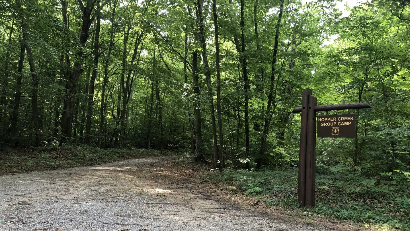
The nearest public campgrounds are Hopper Creek Group Camp (9.4 mi), Cave Mountain Lake Group Camp (10.7 mi), and Cave Mountain Lake Family Camp (10.7 mi).
Source: Campgrounds nearby
Which national park is Otter Creek Campground in?
Otter Creek Campground is a Blue Ridge Parkway campground. Entrance fees, alerts, and hours are on Park Atlas.
Source: Blue Ridge Parkway