Wyandotte A Campground
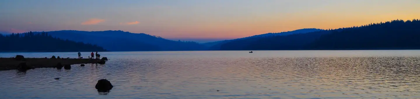
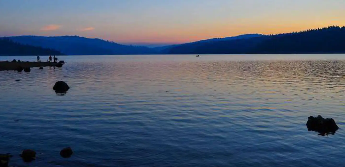
Wyandotte Campground is located within 5 miles of the town of La Porte, CA on the Feather River Ranger District. At an elevation of 5100 feet, the campground is nestled in a natural mixed-conifer forest environment. Little Grass Valley reservoir is a 1600 ac. clear mountain lake with plenty of summer and winter recreation opportunities available. Little Grass Valley Reservoir part of a larger network of streams, rivers, and reservoirs that link features of the South Fork Feather River system with Lake Oroville. Scenic vistas, watchable wildlife, and historic mining sites are in immediate or close proximity to the facility.
More like this: reservable in California · pets allowed in California
Check availability on Recreation.gov ↗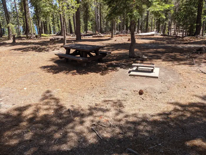

Site mix
| Standard, no hookups | 28 |
Site guide
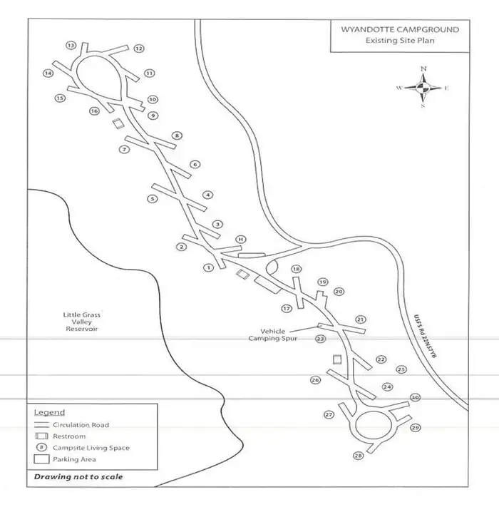
28 sites in 2 loops. Tap a filter to narrow the list; the map follows.
| Site | Loop | Entry | Fits, ft | Surface | Shade | People / vehicles | Fires |
|---|---|---|---|---|---|---|---|
| 01 | A | Back-in | 33 | Paved | None | 6 / 2 | Yes |
| 02 | A | Back-in | 33 | Paved | None | 6 / 2 | Yes |
| 03 | A | Back-in | 33 | Paved | None | 6 / 2 | Yes |
| 04 | A | Back-in | 33 | Paved | None | 6 / 2 | Yes |
| 05 | A | Back-in | 33 | Paved | None | 6 / 2 | Yes |
| 06 | A | Back-in | 33 | Paved | None | 6 / 2 | Yes |
| 07 | A | Back-in | 33 | Paved | None | 6 / 2 | Yes |
| 08 | A | Back-in | 33 | Paved | None | 6 / 2 | Yes |
| 09 | A | Back-in | 33 | Paved | None | 6 / 2 | Yes |
| 10 | A | Back-in | 33 | Paved | None | 6 / 2 | Yes |
Per-site records as published by the managing agency on Recreation.gov. Blank cells mean the agency listed nothing for that site. Check-in 2:00 PM, checkout 12:00 PM.
Amenities & rules
| Hookups | None |
| Equipment | RVs & trailers, Tents |
| Pets | Allowed |
| Campfires | Allowed, subject to restrictions |
| Tent pads | Yes |
Individual sites vary. Confirm on Recreation.gov or with the managing office.
Weather by month
Getting there
Take the La Porte-Quincy Rd. from Brownsville or Quincy-Hwy 70 to the town of La Porte, CA. Travel 3 miles NE of town to the So Fork Rd. or Little Grass Valley Rd.
| Nearest town | Laporte, California |
| Coordinates | 39.7450° N, 120.9875° W · Directions ↗ |
Supplies & services
| Dump station | Dump station ↗ | 35.9 mi |
| RV sales & service | DeMartini RV Sales ↗ | 36.3 mi |
| Outdoor gear | REI ↗ | 43.6 mi |
Locations © OpenStreetMap contributors. Call ahead; hours change seasonally.
Explore
Video
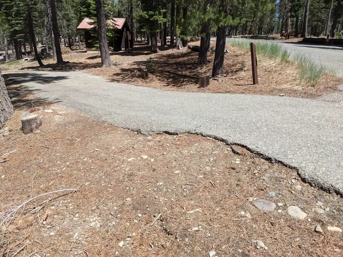
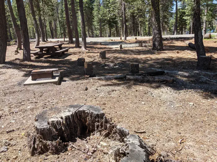
Wyandotte Campground, Plumas National Forest, California Campsite Photos
Trails nearby
- 0.7 miBald Mountain Trail2.2 mi trail
- 1.2 miBald Mountain PCT Tie1.2 mi trail
- 1.6 miLakeshore Trail ↗14.3 mi trail
- 1.6 miLakeshore-Black Rock Cg Tie0.05 mi trail
- 2.2 miFowler Lake PCT Tie0.4 mi trail
- 3.3 miWallace1.6 mi trail
Trail and trailhead records are the Forest Service's. Distances are straight-line to the nearer trail end. Trail conditions are not tracked here.
Public land it sits in
This campground sits inside Plumas National Forest.
- inPlumas National Forest ↗National Forest · Forest Service · 1,431,953 acres
- 9.8 miTahoe National Forest ↗National Forest · Forest Service · 1,181,139 acres
- 14.7 miBucks Lake Wilderness ↗Wilderness · Forest Service · 23,578 acres
Each unit is published as a centre point and an acreage rather than a boundary, so this section stands it in for a circle of the same area. Whether a campground is inside, and how far it is from one it is outside, are both approximate.
Other campgrounds nearby

On the National Register nearby
- Hospital BridgeStructure · Downieville · 14.9 mi
Recreation
There is plentiful wildlife including bear, deer, squirrel, songbirds, bald eagle and osprey. Activities at the facility include camping, power and flatwater boating, swimming, fishing, hiking, wildlife watching, scenery viewing, and historic sites.
Guidebooks for California
We earn a small commission if you buy through these links. It does not change what we list.

Titles come from Open Library's catalog, matched by subject heading or by title.
Reference
Questions people ask
Do I need a reservation at Wyandotte A Campground?
Sites at Wyandotte A Campground are reservable on Recreation.gov. Any walk-up sites are listed on the booking page.
Source: Recreation.gov
What time is check-in at Wyandotte A Campground?
Check-in 2:00 PM, checkout 12:00 PM.
Source: Recreation.gov
How many sites does Wyandotte A Campground have?
28 sites, including 28 standard sites without power.
Source: Recreation.gov
Can I bring an RV to Wyandotte A Campground?
Wyandotte A Campground is listed for tents only.
Source: Recreation.gov
Are pets allowed at Wyandotte A Campground?
Yes, pets are allowed at Wyandotte A Campground. Leash rules apply.
Source: Recreation.gov
Can I have a campfire at Wyandotte A Campground?
Fires are allowed in the provided rings under normal conditions.
Source: Recreation.gov
Is there cell service at Wyandotte A Campground?
FCC coverage maps show AT&T 4G LTE at the campground point. Terrain changes that from one site to the next.
Source: FCC Broadband Map
What is there to do at Wyandotte A Campground?
There is plentiful wildlife including bear, deer, squirrel, songbirds, bald eagle and osprey. The Recreation section on this page has the rest.
Source: Recreation
What is the nearest town to Wyandotte A Campground?
Laporte, California.
Source: Getting there
What if Wyandotte A Campground is full?
The nearest public campgrounds are Little Beaver A Campground (under 0.1 mi, partly first-come), Tooms RV Campground (0.3 mi, partly first-come), and Little Grass Valley Recreation Area (1.1 mi).
Source: Campgrounds nearby