Axolotl Cabin
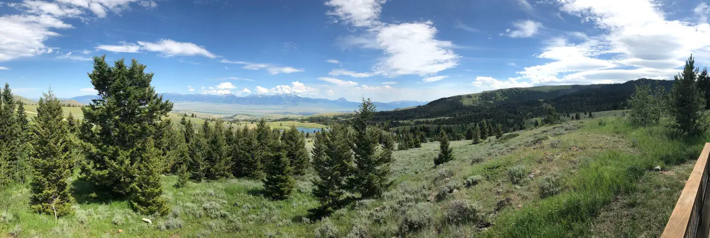
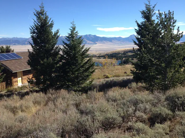
The Dillon Field Office is unable to make reservations for you. Axolotl Cabin is located approximately 14 miles southwest of Ennis, Montana, in the foothills of the Gravelly Range. The cabin provides access to a variety of outdoor recreational activities and breathtaking views as it peers over the Madison Valley. The cabin is at an elevation of about 7,000 feet and is adjacent to Axolotl Lakes Wilderness Study Area.
Check availability on Recreation.gov ↗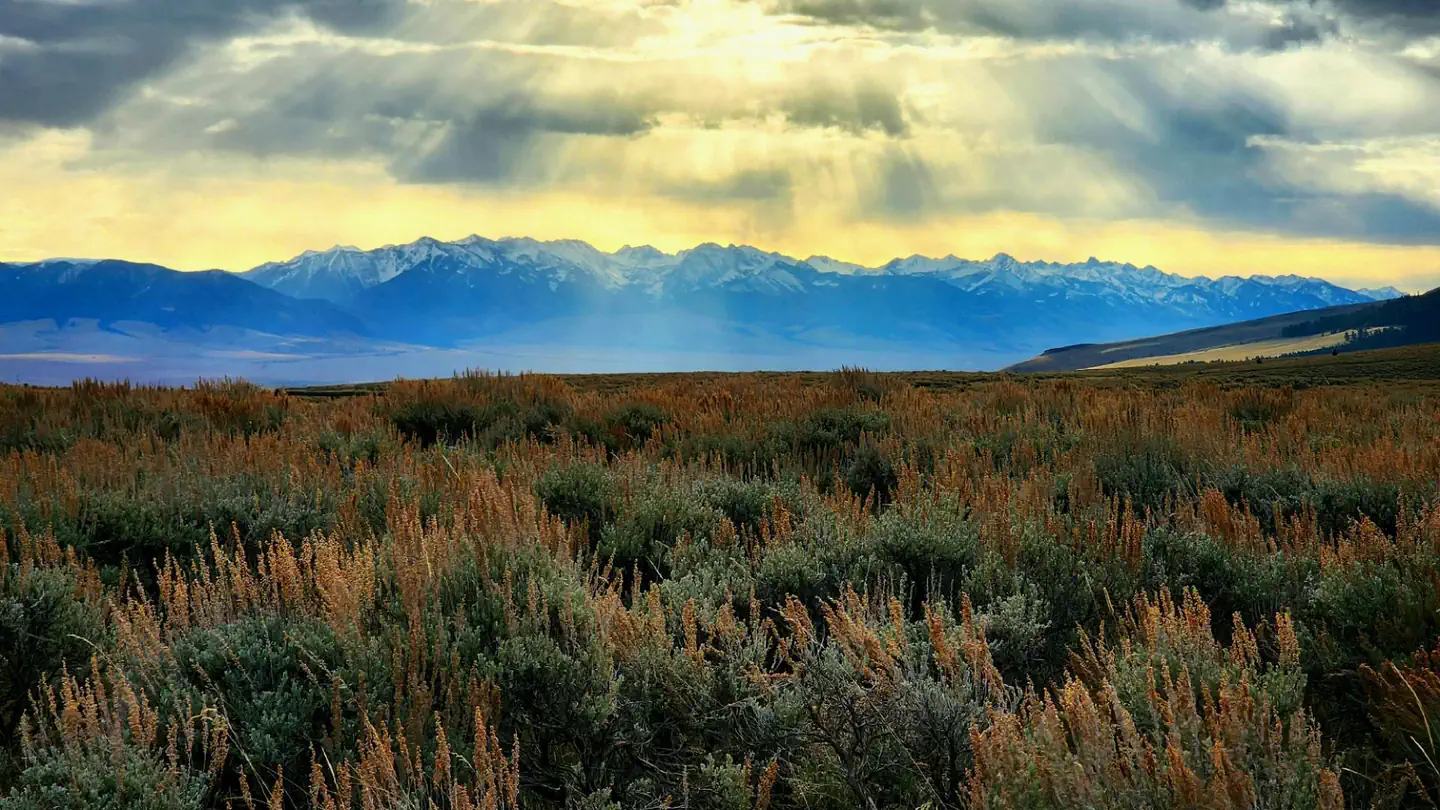
Site mix
| Cabins with electric | 1 |
Site guide
1 site. Tap a filter to narrow the list; the map follows.
| Site | Surface | Shade | Waterfront | People / vehicles | Fires | Accessible | Rating |
|---|---|---|---|---|---|---|---|
| Axolotl Cabin | Gravel | Partial | Lakefront | 7 / 3 | Yes | Yes | Prime |
Per-site records as published by the managing agency on Recreation.gov. Blank cells mean the agency listed nothing for that site. Check-in 2:00 PM, checkout 12:00 PM.
Amenities & rules
| Campfires | Allowed, subject to restrictions |
| Fees | A credit card is required to secure your reservation. |
| Accessibility | Site Axolotl Cabin is listed accessible |
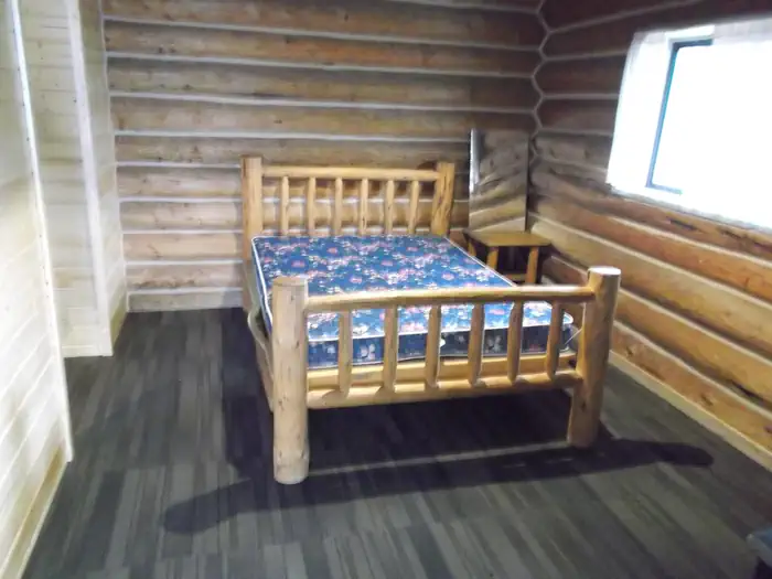
The cabin sleeps a maximum of seven people. There is a full bed, a full-size fold out futon and two single bunkbeds. No bedding is provided. The cabin amenities run off of both solar and propane. The lights and refrigerator operate off solar power and can be subject to outages. The stove/oven operates off propane; please read directions of how to operate!! There is also a BBQ, wood stove, fireplace, and outdoor fire pit. Non-potable water available; please treat. One small corral near the cabin can accommodate two horses. You are required to bring your own certified weed seed-free feed; no grazing is allowed.
Individual sites vary. Confirm on Recreation.gov or with the managing office.
Weather by month
Getting there
From Ennis (most direct route) - 4WD/High clearance Vehicle strongly recommended. Road may become impassable when wet!! Take State Highway 287 towards Virginia City. About 1/4 mile east of MM11 (or 3/4 mile west of MM10) turn south into the paved parking area near the top of Virginia City Hill.
| Coordinates | 45.2406° N, 111.8714° W · Directions ↗ |
Fire nearby
- PrescribedRx Hell'S Canyon
14 mi from the campground
- PrescribedShenango Pile Rx
34 mi from the campground
Distance is to the reported incident point, not the fire edge. Call the managing office before you drive.
Supplies & services
| Outdoor gear | Grizzly Outfitters ↗ | 27.4 mi |
| Dump station | Dump station ↗ | 36.8 mi |
| RV sales & service | Valley Trailer Sales Inc ↗ | 48.4 mi |
Locations © OpenStreetMap contributors. Call ahead; hours change seasonally.
Explore
Worth a stop
Visitors to the area may like to explore nearby Virginia City and Nevada City historic districts, as well as access the Gravelly Road scenic drive.
- 12 miStorey Ditch Boat Launch ↗Boat launch
Trails nearby
- 4.6 miClover Meadows Snowmobile ↗22.5 mi trail
Trail and trailhead records are the Forest Service's. Distances are straight-line to the nearer trail end. Trail conditions are not tracked here.
Public land it sits in
Lee Metcalf Wilderness begins about 12.7 miles away, and it is the closest of these.
- 12.7 miLee Metcalf Wilderness ↗Wilderness · BLM/FS · 242,068 acres
Each unit is published as a centre point and an acreage rather than a boundary, so this section stands it in for a circle of the same area. Whether a campground is inside, and how far it is from one it is outside, are both approximate.
Other campgrounds nearby


Cabin and lookout rentals nearby
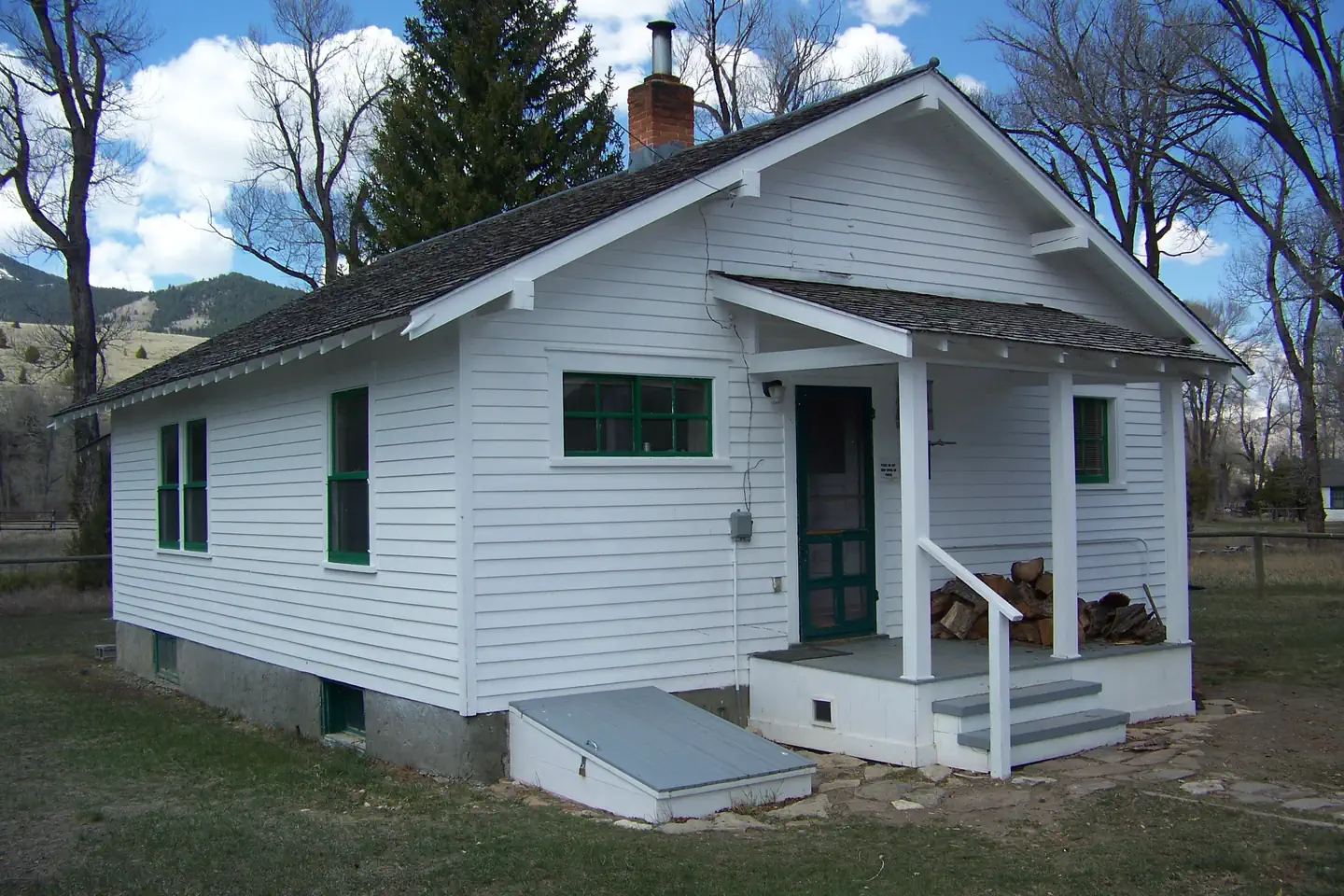
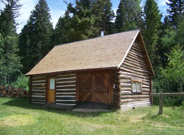
Historic landmarks nearby

Natural features
Tiger salamanders in their larval stage (axolotls) exist in a few of the nearby lakes; please observe only, do not handle. Grayling can be found in some lakes. This is bear country. Do NOT leave food (human, pet, livestock), toiletries, or any attractants (BBQ tools, empty beverage cans, smores sticks, etc.) out overnight. Properly store all attractants in the cabin or in a hard-sided locked vehicle when not in use.
Recreation
Recreation opportunities abound in the surrounding area including numerous small lakes for angling, paddling, and relaxation, and excellent areas for hiking, wildlife viewing, and horseback riding. The world famous Madison River winds through the valley below, with abundant scenery all around. The surrounding lands are primarily managed by the Bureau of Land Management and provide a variety of recreational opportunities, including within the Axolotl Lakes Wilderness Study Area (WSA). Certain restrictions are in place for WSA lands; please ensure your understanding of these rules and adhere to restrictions.
Guidebooks for Montana
We earn a small commission if you buy through these links. It does not change what we list.

Titles come from Open Library's catalog, matched by subject heading or by title.
Reference
Questions people ask
Do I need a reservation at Axolotl Cabin?
Sites at Axolotl Cabin are reservable on Recreation.gov. Any walk-up sites are listed on the booking page.
Source: Recreation.gov
How much does it cost to camp at Axolotl Cabin?
A credit card is required to secure your reservation.
Source: Recreation.gov
What time is check-in at Axolotl Cabin?
Check-in 2:00 PM, checkout 12:00 PM.
Source: Recreation.gov
How many sites does Axolotl Cabin have?
1 site, including 1 cabin with power.
Source: Recreation.gov
Can I have a campfire at Axolotl Cabin?
Fires are allowed in the provided rings under normal conditions. As of 2026-10-16, there are 2 active fires within 50 miles, so check current restrictions before you light one.
Source: Fire nearby
Are there accessible sites at Axolotl Cabin?
Site Axolotl Cabin is listed accessible on Recreation.gov. What that covers (a paved pad, an accessible table, a nearby accessible restroom) is on each site's booking page.
Source: Recreation.gov
Is there cell service at Axolotl Cabin?
FCC coverage maps show AT&T 4G LTE at the campground point. Terrain changes that from one site to the next.
Source: FCC Broadband Map
What is there to do at Axolotl Cabin?
Recreation opportunities abound in the surrounding area including numerous small lakes for angling, paddling, and relaxation, and excellent areas for hiking, wildlife viewing, and horseback riding. The Recreation section on this page has the rest.
Source: Recreation
What if Axolotl Cabin is full?
The nearest public campgrounds are Clover Meadows Dispersed Camping and Picnic Area (14.1 mi, first-come), Bear Creek Campground and Picnic Area (16.3 mi, first-come), and Cottonwood Campground (19.2 mi, first-come).
Source: Campgrounds nearby