Blanchard Springs Recreation Area
Blanchard Springs Recreation Area is located in the scenic Ozark National Forest. The Ozark Mountains are known for beautiful "rolling" hills, hidden caverns, waterfalls and clear flowing streams. Examples of early Ozark culture and music can be found throughout the region. Blanchard recreation area is a great starting point for an Ozark adventure.
Some sites take reservations on Recreation.gov. Others are first-come, first-served.
More like this: electric hookups in Arkansas · first-come in Arkansas · reservable in Arkansas · pets allowed in Arkansas · group sites in Arkansas
Check availability on Recreation.gov ↗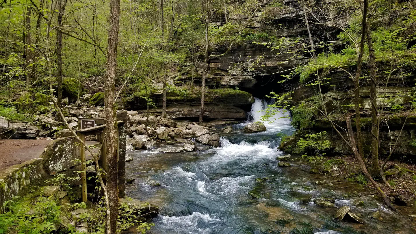

Site mix
| Standard, no hookups | 18 |
| group shelter electric | 2 |
| group standard area nonelectric | 2 |
| group walk to | 1 |
| Host/management | 1 |
Site guide
Will my RV fit
The longest site here provides 25 feet of vehicle capacity. Most sites are shorter.
23 sites in 3 loops. Tap a filter to narrow the list; the map follows.
| Site | Loop | Type | Entry | Fits, ft | Surface | Shade | Power | Waterfront | People / vehicles | Fires | Accessible | Rating |
|---|---|---|---|---|---|---|---|---|---|---|---|---|
| Amphitheater | Day Use | Group Walk To | Paved | Partial | 30 amp | 100 / 25 | Yes | Prime | ||||
| Large Pavillion | Day Use | Group Shelter Electric | Paved | Full | 30 amp | 125 / 25 | Yes | Prime | ||||
| Small Pavillion | Day Use | Group Shelter Electric | Paved | Full | 30 amp | 50 / 10 | Yes | Prime | ||||
| GS 1 | Group Camp | Group | Pull-through | 25 | Gravel | Partial | No | Riverfront | 50 / 20 | Yes | Prime | |
| GS 2 | Group Camp | Group | Pull-through | 25 | Gravel | Full | No | Riverfront | 30 / 12 | Yes | Prime | |
| 15 | Upper Loop | Standard | Back-in | 60 | Paved | Full | No | Riverfront | 8 / 2 | Yes | Prime | |
| 16 | Upper Loop | Standard | Back-in | 47 | Paved | Partial | No | Riverfront | 8 / 2 | Yes | Prime | |
| 17 | Upper Loop | Standard | Back-in | 64 | Paved | Full | No | Riverfront | 8 / 2 | Yes | Prime | |
| 18 | Upper Loop | Standard | Back-in | 66 | Paved | Full | No | Riverfront | 8 / 2 | Yes | Prime | |
| 19 | Upper Loop | Standard | Back-in | 52 | Paved | Full | No | Riverfront | 8 / 2 | Yes | Prime |
Per-site records as published by the managing agency on Recreation.gov. Blank cells mean the agency listed nothing for that site. Check-in 9:00 AM, checkout 3:00 PM.
Amenities & rules
| Hookups | Electric, water |
| Max vehicle length | 25 ft |
| Equipment | RVs & trailers, Tents |
| Pets | Allowed |
| Campfires | Allowed, subject to restrictions |
| Tent pads | Yes |
| Accessibility | Sites Amphitheater, Large Pavillion, Small Pavillion are listed accessible |
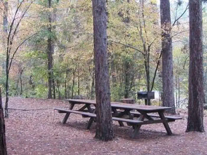
The campgrounds offer a variety of campsites to accommodate all types of visitors, including group and single campsites. All sites are equipped with tables, grills and campfire rings. Individual sites are on a first come, first served basis. The individual sites are open except when there is high water. The picnic shelters have grills and ample picnic tables for groups. Flush toilets and drinking water are provided.
Individual sites vary. Confirm on Recreation.gov or with the managing office.
Season & status
| Status | Closed for the season. Forest Service sites close for the season; check the official page for the reopening date. |
| Forest | Ozark-St. Francis National Forests |
| Fees | Individual campsites- $15/night. Large group site, GS1 - $60/night (8-50 people). Small group site, GS2 - $35/night (8-30 people). Day-use $3/vehicle/day |
Weather by month
Getting there
From Mountain View, take Highway 5-9-14 north for 5 miles to Allison. At Allison, take Highway 14 west for 8 miles toward the town of Fifty Six. Turn right at the Blanchard Springs Recreation Area sign. Be sure to bring a map, GPS directions have led many visitors off-course.
| Nearest town | Mountain View, Arkansas |
| Coordinates | 35.9744° N, 92.1772° W · Directions ↗ |
Good to know
- To check campground status, call 870 757 2211.
Supplies & services
| Dump station | Dump station ↗ | 0.7 mi |
| Outdoor gear | Norfork Adventure Supply ↗ | 17.3 mi |
| RV sales & service | Blue Compass RV ↗ | 27.1 mi |
Locations © OpenStreetMap contributors. Call ahead; hours change seasonally.
Explore
Video
Blanchard Springs Campground - Full Arkansas Campground Review
Trails nearby
- 0.2 miNorth Sycamore Creek Spur0.2 mi trail · hiking
- 0.3 miJacks Branch Connector0.3 mi trail · hiking, bike
- 0.4 miSyllamo Bike Trail - Jacks Bra1.2 mi trail · hiking, bike
- 0.6 miOak-Pine Woodland ↗0.6 mi trail · hiking
- 0.7 miBlanchard Cav.-Dripstone Tour0.6 mi trail · hiking
- 0.8 miMirror Lake Boardwalk ↗0.1 mi trail · hiking, bike
Trail and trailhead records are the Forest Service's. Distances are straight-line to the nearer trail end. Trail conditions are not tracked here.
Public land it sits in
Leatherwood Wilderness begins about 11.3 miles away, and it is the closest of these.
- 11.3 miLeatherwood Wilderness ↗Wilderness · Forest Service · 16,652 acres
Each unit is published as a centre point and an acreage rather than a boundary, so this section stands it in for a circle of the same area. Whether a campground is inside, and how far it is from one it is outside, are both approximate.
Other campgrounds nearby


On the National Register nearby
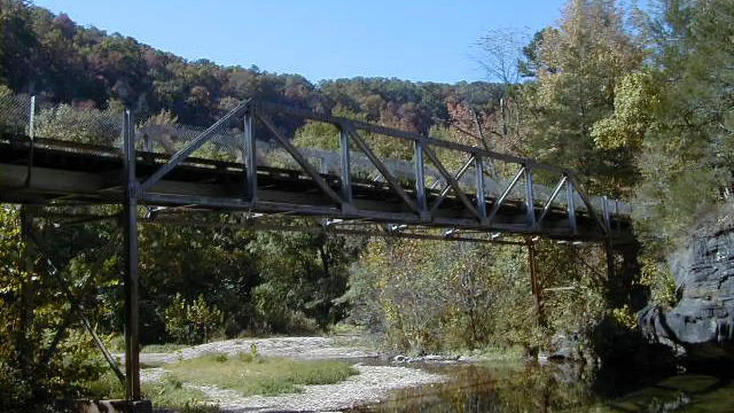
- North Sylamore Creek BridgeStructure · Fifty-Six · 2.6 mi
- Miles Jeffery BarnBuilding · Optimus · 3.2 mi
- Sylamore Creek BridgeStructure · Allison · 4.1 mi
Natural features
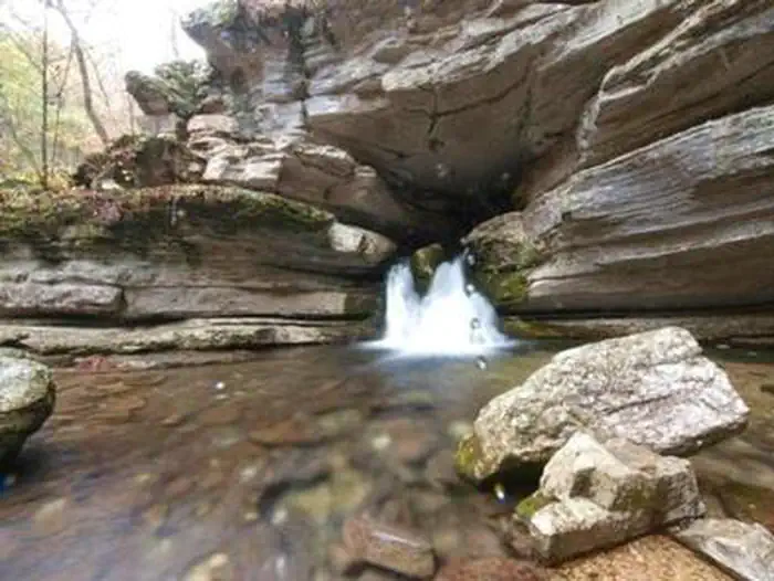
The facilities are near picturesque rock bluffs and crystal clear streams. Sites are well shaded by stately yellow pine trees.
Recreation
Trout fishing is available on nearby Mirror Lake. Other popular activities in the Blanchard area include mountain biking, hiking and swimming.
Nearby
Blanchard Springs Caverns offers tours, exhibits and family activities. North Sylamore hiking trail follows the scenic Sylamore creek for 25 miles and connects to the Ozark Highland trail. Mountain biking is available on 50 miles of the Syllamo Mountain Bike Trail.
Guidebooks for Arkansas
We earn a small commission if you buy through these links. It does not change what we list.
Titles come from Open Library's catalog, matched by subject heading or by title.
Reference
Questions people ask
Do I need a reservation at Blanchard Springs Recreation Area?
For some sites. Some sites take reservations on Recreation.gov. Others are first-come, first-served.
Source: Recreation.gov
How much does it cost to camp at Blanchard Springs Recreation Area?
Individual campsites- $15/night. Large group site, GS1 - $60/night (8-50 people). Small group site, GS2 - $35/night (8-30 people).
Source: Recreation.gov
What time is check-in at Blanchard Springs Recreation Area?
Check-in 9:00 AM, checkout 3:00 PM.
Source: Recreation.gov
Is Blanchard Springs Recreation Area open right now?
Closed for the season as of Oct 16, 2026.
Source: Forest Service status
How many sites does Blanchard Springs Recreation Area have?
24 sites, including 18 standard sites without power, 2 group shelter electric, 2 group standard area nonelectric, and 1 group walk to.
Source: Recreation.gov
Will my RV fit at Blanchard Springs Recreation Area?
The longest site here provides 25 feet of vehicle capacity. Most sites are shorter. The sidebar tool checks a trailer or motorhome length against every site.
Source: Will my RV fit
Does Blanchard Springs Recreation Area have hookups?
Yes, electric and water hookups at some sites.
Source: Recreation.gov
Are there showers or a dump station at Blanchard Springs Recreation Area?
Flush toilets and drinking water are provided.
Source: Recreation.gov
Are pets allowed at Blanchard Springs Recreation Area?
Yes, pets are allowed at Blanchard Springs Recreation Area. Leash rules apply.
Source: Recreation.gov
Can I have a campfire at Blanchard Springs Recreation Area?
Fires are allowed in the provided rings under normal conditions.
Source: Recreation.gov
Are there accessible sites at Blanchard Springs Recreation Area?
Sites Amphitheater, Large Pavillion, and Small Pavillion are listed accessible on Recreation.gov. What that covers (a paved pad, an accessible table, a nearby accessible restroom) is on each site's booking page.
Source: Recreation.gov
What is there to do at Blanchard Springs Recreation Area?
Trout fishing is available on nearby Mirror Lake. The Recreation section on this page has the rest.
Source: Recreation