Stockfarm Bridge
Stockfarm Bridge Campground is located in a red pine forest on the East Fork of the Chippewa River, a candidate wild and scenic river.
Some sites take reservations on Recreation.gov. Others are first-come, first-served.
More like this: first-come in Wisconsin · reservable in Wisconsin · pets allowed in Wisconsin · group sites in Wisconsin
Check availability on Recreation.gov ↗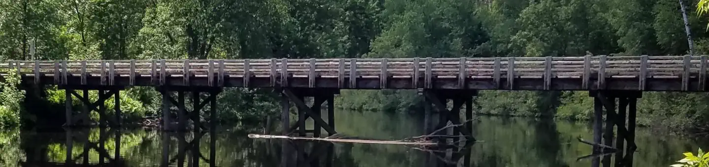

Site mix
| Standard, no hookups | 7 |
| Group sites | 1 |
Site guide
Will my RV fit
The longest site here provides 45 feet of vehicle capacity. Most sites are shorter.
8 sites. Tap a filter to narrow the list; the map follows.
| Site | Type | Entry | Fits, ft | Surface | Shade | Waterfront | People / vehicles | Fires | Accessible |
|---|---|---|---|---|---|---|---|---|---|
| 1 | Standard | Back-in | 25 | Gravel | Riverfront | 8 / 4 | Yes | Yes | |
| 2 | Standard | Back-in | 30 | Gravel | Partial | Riverfront | 8 / 4 | Yes | Yes |
| 3 | Standard | Back-in | 25 | Gravel | Riverfront | 8 / 4 | Yes | ||
| 4 | Standard | Back-in | 25 | Gravel | Partial | Riverfront | 8 / 4 | Yes | Yes |
| 5 | Standard | Back-in | 25 | Gravel | Riverfront | 8 / 4 | Yes | Yes | |
| 6 | Standard | Back-in | 40 | Gravel | Partial | 8 / 4 | Yes | Yes | |
| 7 | Standard | Back-in | 25 | Gravel | Partial | 8 / 4 | Yes | Yes | |
| 8 | Group | Back-in | 45 | Gravel | 16 / 8 | Yes | Yes |
Per-site records as published by the managing agency on Recreation.gov. Blank cells mean the agency listed nothing for that site. Check-in 02:00 PM, checkout 02:00 PM.
Amenities & rules
| Hookups | None |
| Equipment | RVs & trailers, Tents |
| Pets | Allowed |
| Campfires | Allowed, subject to restrictions |
| Accessibility | Sites 1, 2, 3, 4 and 4 more are listed accessible |
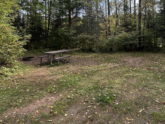
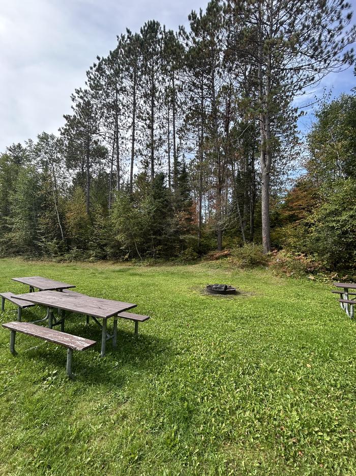
The campground offers 7 single family campsites and one group site accomodating up to 16 people. There is a hand-pump for potable drinking water, accessible vault toilets, fire rings and picnic tables. Trash collection and recycling bins are available at the campground as well.
Individual sites vary. Confirm on Recreation.gov or with the managing office.
Season & status
| Status | Closed for the season. Forest Service sites close for the season; check the official page for the reopening date. |
| Season | May 2 to October 31 |
| Forest | Chequamegon-Nicolet NF |
| Booking | Some sites can be reserved at www.recreation.gov or by calling Recreation.gov at 1-877-444-6777 or TDD 1-877-833-6777. |
| Fees | Individual campsite fee is $15, or $7.50 with the use of an Interagency pass (access or senior). The interagency pass applies only to the fee for the campsite physically occupied by the pass holder, not to any additional fees or campsite(s) occupied by members of the pass holder's party. |
| Rules | The Chequamegon-Nicolet National Forest specific restrictions can be found in the Occupancy and Use Restrictions for the Chequamegon-Nicolet National Forest. Campsite Capacity Maximum of 8 people and 4 vehicles at each camp site. |
Weather by month
Getting there
From Loretta, drive north on County Highway GG 10.8 miles to the intersection of FR 164. Turn right (east) and drive 7.8 miles to the campground. From Glidden, drive south 9.4 miles on Highway 13 to Bear Lake Road (FR 163). Turn right (west) on Bear Lake Road and drive 9 miles to FR 164.
| Nearest town | Hayward, Wisconsin |
| Coordinates | 46.0379° N, 90.7143° W · Directions ↗ |
Fire nearby
- WildfireRedhouse
20 mi from the campground · 22 acres
- WildfireBog
36 mi from the campground · 94 acres
- WildfireBlack River
46 mi from the campground · 300 acres
- WildfireBlack River
46 mi from the campground · 382 acres · 60% contained
Distance is to the reported incident point, not the fire edge. Call the managing office before you drive.
Supplies & services
| Outdoor gear | Outdoor Ventures ↗ | 37 mi |
| Dump station | Dump station ↗ | 37.8 mi |
Locations © OpenStreetMap contributors. Call ahead; hours change seasonally.
Explore
Trails nearby
- 0.5 miDead Horse Run "d"1.4 mi trail · hiking, e-bike
- 4.6 miCamp Loretta Connector ↗7.9 mi trail · hiking, e-bike
Trail and trailhead records are the Forest Service's. Distances are straight-line to the nearer trail end. Trail conditions are not tracked here.
Public land it sits in
This campground sits inside Chequamegon-Nicolet National Forest.
- inChequamegon-Nicolet National Forest ↗National Forest · Forest Service · 2,005,629 acres
Each unit is published as a centre point and an acreage rather than a boundary, so this section stands it in for a circle of the same area. Whether a campground is inside, and how far it is from one it is outside, are both approximate.
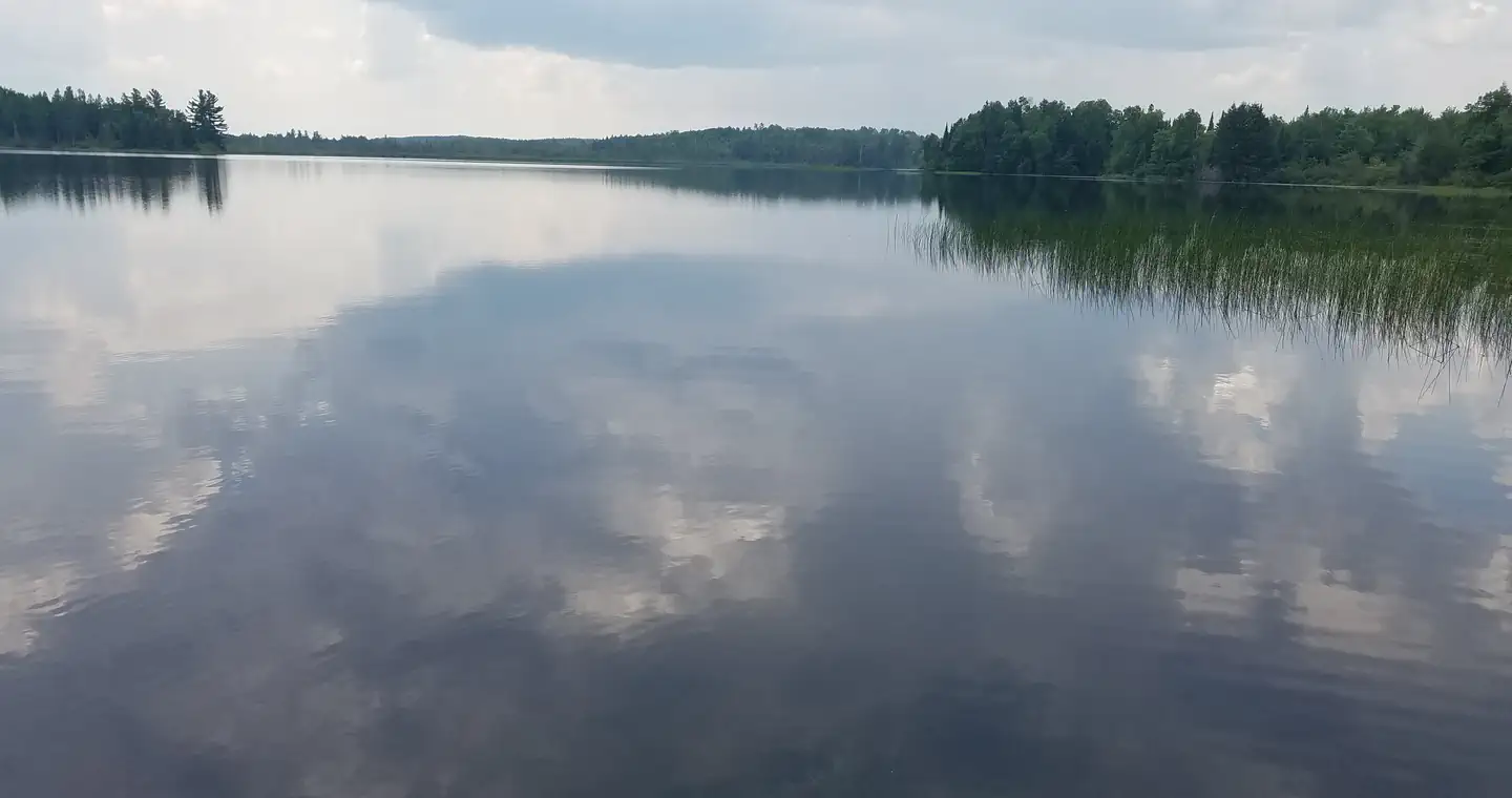
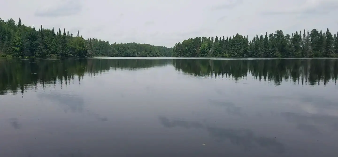
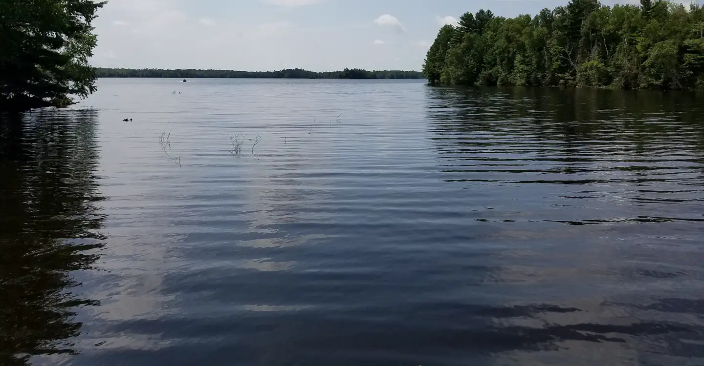
Other campgrounds nearby
On the National Register nearby
- Marion Park PavilionBuilding · Glidden · 8.8 mi
- Glidden State BankBuilding · Jacobs · 9.6 mi
- Flambeau Paper Company Office BuildingBuilding · Park Falls · 14.6 mi
Natural features
The Chequamegon-Nicolet National Forest offers 845,000 acres of lush landscape dotted with lakes, rivers and streams. Pine, spruce, maple, aspen and balsam forests, as well as extensive jack pine plantations, make up the vegetation.
Recreation
Located on the edge of the elk capital of Wisconsin, the Stockfarm Bridge Campground area has activities for everyone. Miles of off-road vehicle on the Dead Horse Run Off-road Vehicle Trail (ATV/UTV), canoeing, kayaking, and fishing in the scenic East Fork of the Chippewa River or hunting during the fall small and big game hunting seasons.
Guidebooks for Wisconsin
We earn a small commission if you buy through these links. It does not change what we list.
Titles come from Open Library's catalog, matched by subject heading or by title.
Reference
Questions people ask
Do I need a reservation at Stockfarm Bridge?
For some sites. Some sites take reservations on Recreation.gov. Others are first-come, first-served.
Source: Recreation.gov
How much does it cost to camp at Stockfarm Bridge?
Individual campsite fee is $15, or $7.50 with the use of an Interagency pass (access or senior). The interagency pass applies only to the fee for the campsite physically occupied by the pass holder, not to any additional fees or campsite(s) occupied by members of the pass holder's party.
Source: Recreation.gov
What time is check-in at Stockfarm Bridge?
Check-in 02:00 PM, checkout 02:00 PM.
Source: Recreation.gov
Is Stockfarm Bridge open right now?
Closed for the season as of Oct 16, 2026. Season May 2 to October 31.
Source: Forest Service status
How many sites does Stockfarm Bridge have?
8 sites, including 7 standard sites without power and 1 group site.
Source: Recreation.gov
Can I bring an RV to Stockfarm Bridge?
Stockfarm Bridge is listed for tents only.
Source: Recreation.gov
Are pets allowed at Stockfarm Bridge?
Yes, pets are allowed at Stockfarm Bridge. Leash rules apply.
Source: Recreation.gov
Can I have a campfire at Stockfarm Bridge?
Fires are allowed in the provided rings under normal conditions. As of 2026-10-16, there are 4 active fires within 50 miles, so check current restrictions before you light one. The Chequamegon-Nicolet National Forest specific restrictions can be found in the Occupancy and Use Restrictions for the Chequamegon-Nicolet National Forest.
Source: Fire nearby
Are there accessible sites at Stockfarm Bridge?
Sites 1, 2, 3, and 4 are listed accessible on Recreation.gov, 8 sites in all. What that covers (a paved pad, an accessible table, a nearby accessible restroom) is on each site's booking page.
Source: Recreation.gov
What is there to do at Stockfarm Bridge?
Located on the edge of the elk capital of Wisconsin, the Stockfarm Bridge Campground area has activities for everyone. The Recreation section on this page has the rest.
Source: Recreation
What is the nearest town to Stockfarm Bridge?
Hayward, Wisconsin.
Source: Getting there
What if Stockfarm Bridge is full?
The nearest public campgrounds are Black Lake (11.2 mi, partly first-come), East Twin (12.7 mi, partly first-come), and Day Lake (13.4 mi, partly first-come).
Source: Campgrounds nearby