Hole-In-The-Ground Campground
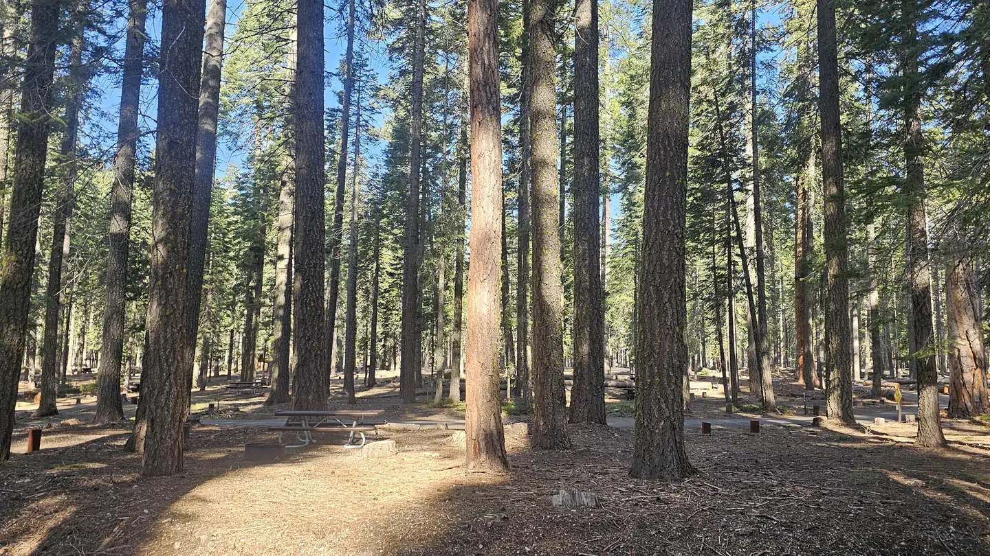
True to its name, Hole-in-the-Ground is tucked away in a steep, tree-covered draw alongside Mill Creek. A developed campground with 13 designated sites, there is a maximum of 8 people per site at this campground. Grills and tables are provided.
More like this: first-come in California

Season & status
| Status | Closed for the season. Forest Service sites close for the season; check the official page for the reopening date. |
| Season | May to September |
| Forest | Lassen National Forest |
| Fees | $12 per site per night |
| Rules | campfires in fire rings only, all animals must be on a managed six (6) foot leash, quiet hours from 10pm to 6 am, no fireworks, must occupy site first night, and every night thereafter. Stay limit 14 days. |
Weather by month
Getting there
| Coordinates | 40.3098° N, 121.5609° W · Directions ↗ |
Fire nearby
- PrescribedCy26 Elrd Understory Drake Unit 6 8 &10 Rx
33 mi from the campground
- PrescribedCy26 Elrd Underburn Drake Unit 7 & 9 Rx
34 mi from the campground
- PrescribedShf Rx
42 mi from the campground
Distance is to the reported incident point, not the fire edge. Call the managing office before you drive.
Supplies & services
| Dump station | Dump station ↗ | 15.5 mi |
| Outdoor gear | Camping World ↗ | 40.5 mi |
| RV sales & service | RV sales & service ↗ | 40.6 mi |
Locations © OpenStreetMap contributors. Call ahead; hours change seasonally.
No site-by-site records, no amenities, no fee schedule or directions in the Recreation.gov record. What is here comes from the agency's own listing. The rest lives there.
Checked nightly. Modules appear as soon as the record fills in.
Explore
Worth a stop
- 3.3 miBrokenshire Picnic Area ↗Day use
Trails nearby
- 1.3 miJeep Trail2.7 mi trail · snowmobile, snowshoe, ski
- 1.8 miMill Creek - Hwy 172 ↗5.4 mi trail · snowmobile, snowshoe, ski
- 1.8 mi44 Road ↗6.9 mi trail · snowmobile, snowshoe, ski
- 1.9 miMorgan Summit ↗6.3 mi trail · snowmobile, snowshoe, ski
- 2.3 miSummit Lake3.6 mi trail · snowmobile, snowshoe, ski
- 3 miTurner Mountain ↗6.4 mi trail · hiking, horse, bike, motorcycle and 6 more
Trail and trailhead records are the Forest Service's. Distances are straight-line to the nearer trail end. Trail conditions are not tracked here.
Public land it sits in
Lassen National Forest begins about 0.8 miles away, and it is the closest of these.
- 0.8 miLassen National Forest ↗National Forest · Forest Service · 1,488,712 acres
- 9 miLassen Volcanic Wilderness ↗Wilderness · National Park Service · 79,061 acres
- 12 miIshi Wilderness ↗Wilderness · BLM/FS · 42,079 acres
Each unit is published as a centre point and an acreage rather than a boundary, so this section stands it in for a circle of the same area. Whether a campground is inside, and how far it is from one it is outside, are both approximate.
Other campgrounds nearby



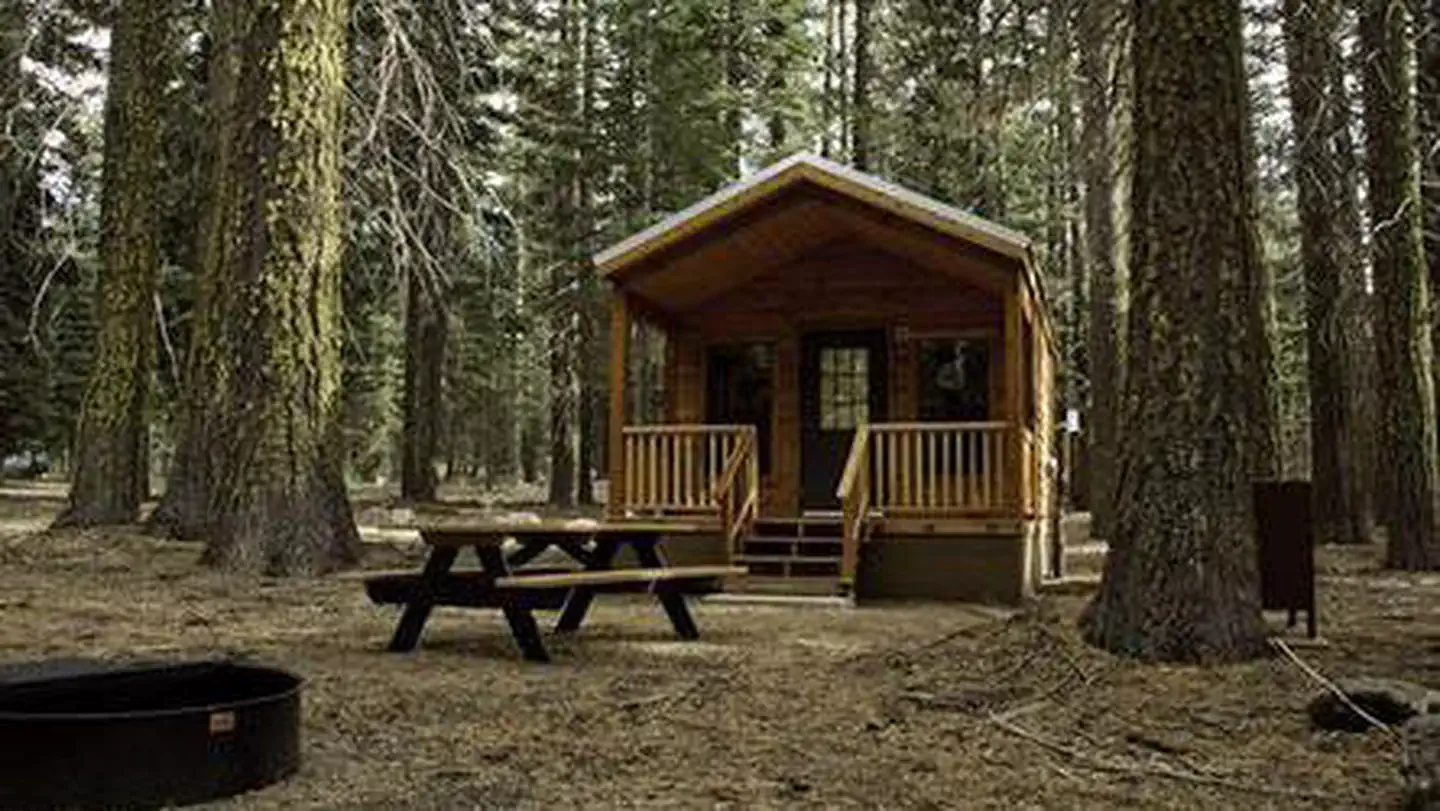
Cabin and lookout rentals nearby
On the National Register nearby
- Park Headquarters, Lassen Volcanic National ParkBuilding · Mineral · 3.5 mi
- Warner Valley Ranger StationBuilding · Chester · 13 mi
- Summit Lake Ranger StationBuilding · Mineral · 14.8 mi
Guidebooks for California
We earn a small commission if you buy through these links. It does not change what we list.

Titles come from Open Library's catalog, matched by subject heading or by title.
Reference
Questions people ask
Do I need a reservation at Hole-In-The-Ground Campground?
No. Hole-In-The-Ground Campground is first-come, first-served. Sites are taken on arrival and paid at the fee station.
Source: Forest Service
How much does it cost to camp at Hole-In-The-Ground Campground?
$12 per site per night
Source: Forest Service
Is Hole-In-The-Ground Campground open right now?
Closed for the season as of Oct 16, 2026. Season May to September.
Source: Forest Service status
Is there cell service at Hole-In-The-Ground Campground?
FCC coverage maps show AT&T 5G at the campground point. Terrain changes that from one site to the next.
Source: FCC Broadband Map
What if Hole-In-The-Ground Campground is full?
The nearest public campgrounds are Battle Creek Campground (4.4 mi, first-come), Gurnsey Creek (7.1 mi, partly first-come), and Elam Campground (7.3 mi, first-come).
Source: Campgrounds nearby