Honeymoon Campground
Located next to Eagle Creek, the area is ideal for camping, picnicking, fishing and wildlife viewing. It is a quiet, remote site with lots of shade provided by sycamore and cottonwood trees along with pinyon and juniper trees.
More like this: first-come in Arizona

Season & status
| Status | Open |
| Forest | Apache-Sitgreaves National Forest |
| Fees | There is no fee to camp. |
Weather by month
Getting there
Directions from Clifton: Honeymoon Campground is 50 miles NW of Clifton, via US Highway 191 and Forest Road 217.
| Coordinates | 33.4753° N, 109.4810° W · Directions ↗ |
Fire nearby
- PrescribedD3 Hagen Rx
4 mi from the campground · 5,757 acres
- PrescribedD3 Bear Rx
5 mi from the campground · 5,072 acres
- PrescribedD6 Wallow West Unit 6 Rx
22 mi from the campground · 7,605 acres
- PrescribedD6 - Heifer Rx
23 mi from the campground · 3,116 acres
Distance is to the reported incident point, not the fire edge. Call the managing office before you drive.
Supplies & services
| Dump station | Dump station ↗ | 27.5 mi |
| RV sales & service | Trek RV ↗ | 46.1 mi |
| Outdoor gear | Gila Outdoor ↗ | 46.2 mi |
Locations © OpenStreetMap contributors. Call ahead; hours change seasonally.
No site-by-site records, no amenities, no fee schedule or photos in the Recreation.gov record. What is here comes from the agency's own listing. The rest lives there.
Checked nightly. Modules appear as soon as the record fills in.
Explore
Worth a stop
- 0.1 mi
- 0.1 miLower East Eagle Trailhead ↗Trailhead
- 6.2 miSheep Saddle Picnic Site ↗Day use
- 6.7 miRose Peak Picnic Site ↗Day use
- 12.5 miAker Lake Fishing Site ↗Fishing site
Trails nearby
- 0.1 miSquirrel Canyon ↗10.2 mi trail · hiking, horse, bike
- 0.5 miRobinson Mesa ↗11.2 mi trail · hiking, horse, bike
- 1.1 miCoyote3.1 mi trail · hiking, horse, bike, ATV and 1 more
- 1.4 miEast Eagle ↗11 mi trail · hiking, horse, bike
- 1.6 miMcBride Mesa ↗8.6 mi trail · hiking, horse, bike
- 2.8 miWarren Canyon3.4 mi trail · hiking, horse, bike
Trailheads within three miles
- 0.1 miLower East Eagle Trailhead ↗Apache-Sitgreaves National Forest
- 0.1 miLower Squirrel Trailhead (#34) Trailhead ↗Apache-Sitgreaves National Forest
- 0.6 miLower Robinson Trailhead (#27) Trailhead ↗Apache-Sitgreaves National Forest
- 1.2 miMalay ATV Trailhead (#711) Trailhead ↗Apache-Sitgreaves National Forest
Trail and trailhead records are the Forest Service's. Distances are straight-line to the nearer trail end. Trail conditions are not tracked here.
Public land it sits in
This campground sits inside Apache-Sitgreaves National Forests.
- inApache-Sitgreaves National Forests ↗National Forest · Forest Service · 2,110,688 acres
- 6.6 miBear Wallow Wilderness ↗Wilderness · Forest Service · 11,235 acres
Each unit is published as a centre point and an acreage rather than a boundary, so this section stands it in for a circle of the same area. Whether a campground is inside, and how far it is from one it is outside, are both approximate.
Other campgrounds nearby


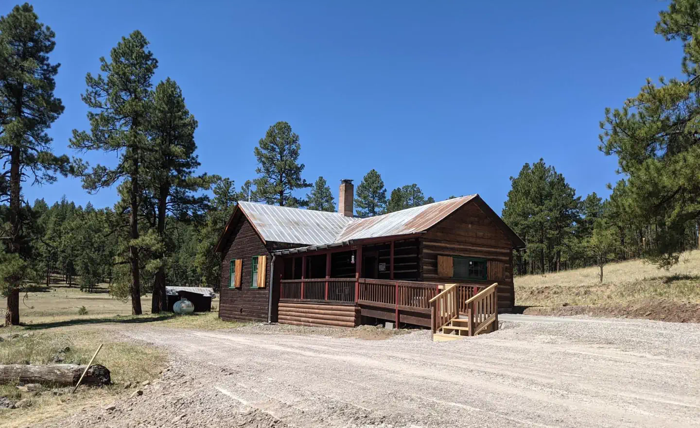
Cabin and lookout rentals nearby
Guidebooks for Arizona
We earn a small commission if you buy through these links. It does not change what we list.
- Best Backpacking Trips in Utah, Arizona, and New MexicoMike White and Douglas Lorain, 2016Find at Bookshop.org
Titles come from Open Library's catalog, matched by subject heading or by title.
Reference
Questions people ask
Do I need a reservation at Honeymoon Campground?
No. Honeymoon Campground is first-come, first-served. Sites are taken on arrival and paid at the fee station.
Source: Forest Service
How much does it cost to camp at Honeymoon Campground?
There is no fee to camp.
Source: Forest Service
Is Honeymoon Campground open right now?
Open as of Oct 16, 2026.
Source: Forest Service status
What if Honeymoon Campground is full?
The nearest public campgrounds are KP Cienega Campground (10.3 mi, first-come), Hannagan Campground (14.2 mi, first-come), and Lower Juan Miller Campground (16.5 mi, first-come).
Source: Campgrounds nearby