Sage Creek Campground
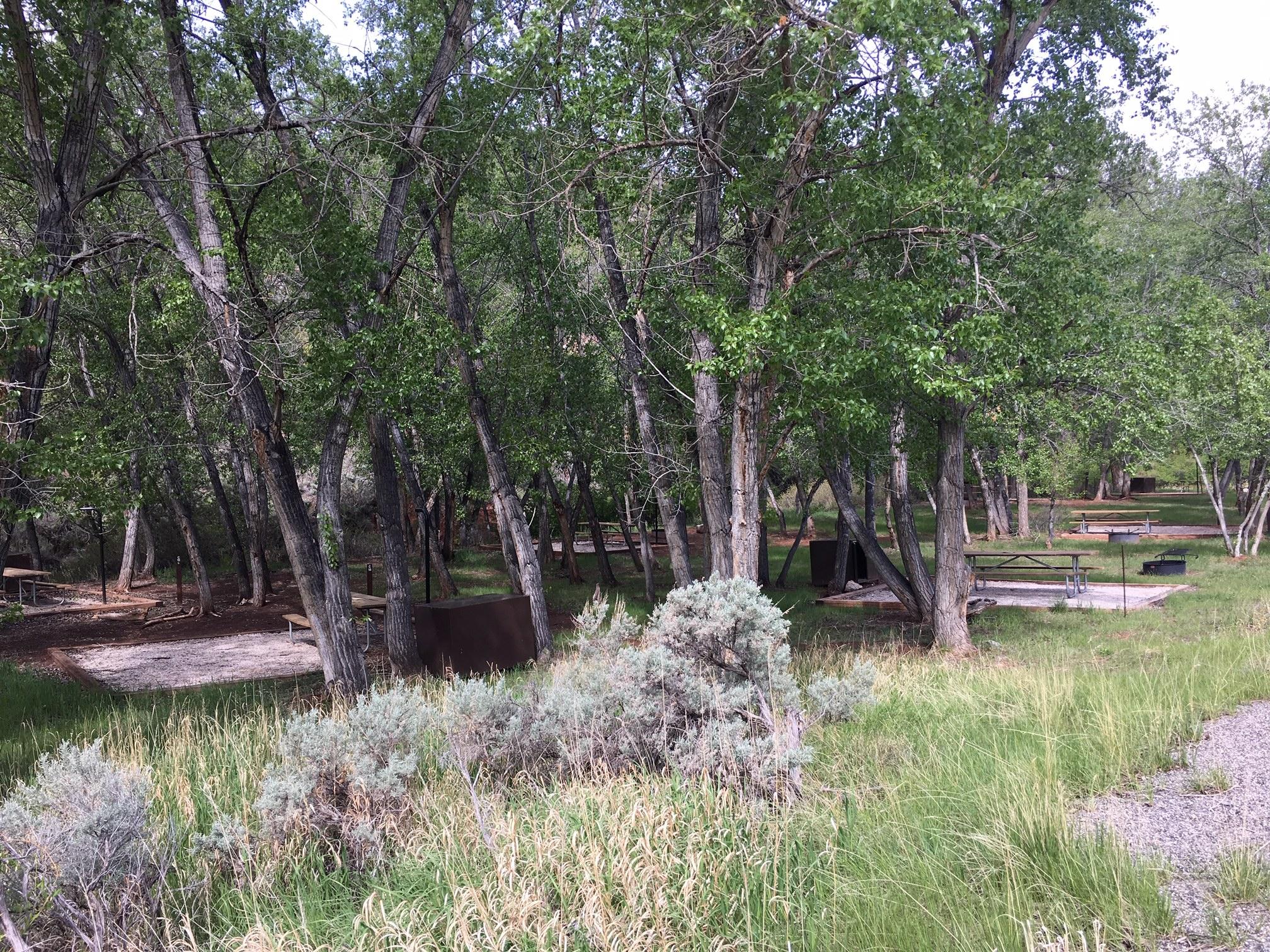
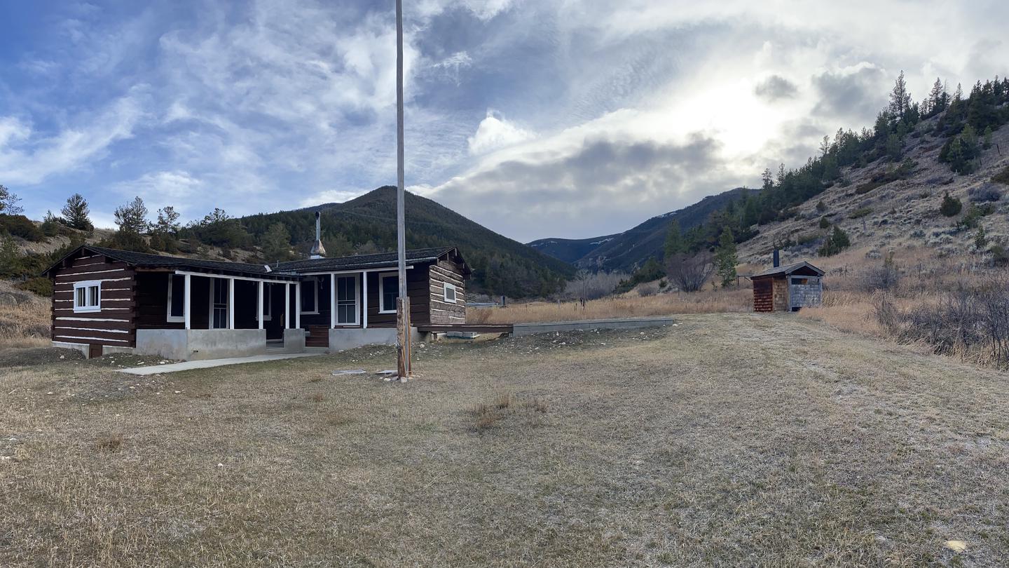
Sage Creek Campground is the only campground in the Pryor Mountains. It is located along the banks of Sage Creek. Big Ice Cave Picnic Ground, and the Bureau of Land Management Pryor Mountain Wild Horse Range are also located in the Pryor Mountains. Numerous motorized trails are located in the Pryor Mountains. See the current year's edition of motor vehicle use map (and legend ) for the area and road closures. There is a 16 day maximum stay in all Beartooth Ranger District campgrounds. Camp sites: 12. Host: No. Max Trailer Length: 30ft. Accessible Facilities: Vault toilets. Trash Pickup: No. Firewood: No.
More like this: first-come in Montana

Season & status
| Season | 5/26 - 9/6 Full service, Reduced service in shoulder season |
| Forest | Custer Gallatin National Forest |
| Booking | No Reservations. This campground does not use a reservation system. |
| Fees | $10 for single sites and $15 double sites. 1/2 price with Interagency Senior and Access Pass |
Weather by month
Getting there
| Coordinates | 45.2139° N, 108.5546° W · Directions ↗ |
Good to know
- Please be advised that there is not consistent potable water here.
- Call the district office to learn if there is water, or plan ahead and bring your own.
- Directions from the town of Bridger: [ This route is not advised for campers or horse trailers.
Supplies & services
| Dump station | Dump station ↗ | 22.4 mi |
| RV sales & service | Laurel Trading Post ↗ | 32.8 mi |
| Outdoor gear | Ski Station ↗ | 33.7 mi |
Locations © OpenStreetMap contributors. Call ahead; hours change seasonally.
No site-by-site records, no amenities, no fee schedule or directions in the Recreation.gov record. What is here comes from the agency's own listing. The rest lives there.
Checked nightly. Modules appear as soon as the record fills in.
Explore
Worth a stop
- 8.3 mi
Trails nearby
- 1.4 miBig Pryor4.1 mi trail · hiking, horse, bike
- 3.4 miKing Trail3.6 mi trail · hiking, horse, bike, motorcycle and 9 more
- 3.4 miMiller Trail2.2 mi trail · hiking, horse, bike, motorcycle and 9 more
- 3.5 miInferno Canyon2.8 mi trail · hiking, horse, bike, motorcycle and 9 more
- 3.6 miRed Pryor ↗8.2 mi trail · hiking, horse, bike, motorcycle and 9 more
- 3.7 miShriver Peak Road4.1 mi trail · hiking, horse, bike, motorcycle and 9 more
Trail and trailhead records are the Forest Service's. Distances are straight-line to the nearer trail end. Trail conditions are not tracked here.
Other campgrounds nearby
Cabin and lookout rentals nearby
Guidebooks for Montana
We earn a small commission if you buy through these links. It does not change what we list.

Titles come from Open Library's catalog, matched by subject heading or by title.
Reference
Questions people ask
Do I need a reservation at Sage Creek Campground?
No. Sage Creek Campground is first-come, first-served. No Reservations. Sites are taken on arrival and paid at the fee station.
Source: Forest Service
How much does it cost to camp at Sage Creek Campground?
$10 for single sites and $15 double sites. 1/2 price with Interagency Senior and Access Pass
Source: Forest Service
What if Sage Creek Campground is full?
The nearest public campgrounds are Barry's Landing & Trail Creek Campground (17.7 mi, first-come), Medicine Creek Campground (18.5 mi, first-come), and Horseshoe Bend Campground (22.7 mi, first-come).
Source: Campgrounds nearby