Laurel Fork Campground
Located along the Laurel Fork River between Laurel Fork North and South Wilderness areas, this primitive campground offers visitors a nice camping opportunity in the Middle Mountain area on the site of an old Civilian Conservation Corps location. D ay hiking and backpacking opportunities are available leaving from this campground as well through the Laurel Fork North and South Wilderness.
More like this: first-come in West Virginia

Season & status
| Status | Open |
| Season | April to November |
| Forest | Monongahela National Forest |
| Fees | Camping fees are $8 per night for each site. Fees are payable on-site. |
Weather by month
Getting there
From Elkins, WV: Follow Highway 33 east approximately 16 miles to Wymer. Turn south on the Middle Mountain road (Forest Road 14). Travel 11 miles to the junction of Forest Road 423. Take Forest Road 423 east for approximately 1 1/2 miles.
| Coordinates | 38.7403° N, 79.6923° W · Directions ↗ |
Supplies & services
| Outdoor gear | Pendelton County Outdoors ↗ | 20.5 mi |
| Dump station | Dumping Station ↗ | 22.8 mi |
Locations © OpenStreetMap contributors. Call ahead; hours change seasonally.
Explore
Trails nearby
- under 0.1 miLaurel Fork North ↗9.4 mi trail · hiking, horse
- 0.7 miForks1 mi trail · hiking, horse
- 1.3 miBeulah4.2 mi trail · hiking, horse
- 2 miLaurel Fork South ↗7.6 mi trail · hiking, horse
- 3 miCamp Five Run1.6 mi trail · hiking, horse
- 3.3 miHigh Falls2.8 mi trail · hiking, horse, bike
Trail and trailhead records are the Forest Service's. Distances are straight-line to the nearer trail end. Trail conditions are not tracked here.
Public land it sits in
This campground sits inside Monongahela National Forest.
- inMonongahela National Forest ↗National Forest · Forest Service · 1,703,725 acres
- 0.4 miLaurel Fork South Wilderness ↗Wilderness · Forest Service · 5,840 acres
- 1.5 miLaurel Fork North Wilderness ↗Wilderness · Forest Service · 6,048 acres
Each unit is published as a centre point and an acreage rather than a boundary, so this section stands it in for a circle of the same area. Whether a campground is inside, and how far it is from one it is outside, are both approximate.
Other campgrounds nearby


Cabin and lookout rentals nearby

On the National Register nearby
- Glady Presbyterian Church and ManseBuilding · Glady · 4.2 mi
- Middle Mountain CabinsBuilding · Wymer · 4.2 mi
- Butcher Hill Historic DistrictHistoric district · Beverly · 11.1 mi
Guidebooks for Monongahela National Forest and West Virginia
We earn a small commission if you buy through these links. It does not change what we list.
- Five-Star Trails: West Virginia's Monongahela National ForestJohnny Molloy, 2022Find at Bookshop.org
Titles come from Open Library's catalog, matched by subject heading or by title.
Reference
Questions people ask
Do I need a reservation at Laurel Fork Campground?
No. Laurel Fork Campground is first-come, first-served. Sites are taken on arrival and paid at the fee station.
Source: Forest Service
How much does it cost to camp at Laurel Fork Campground?
Camping fees are $8 per night for each site. Fees are payable on-site.
Source: Forest Service
Is Laurel Fork Campground open right now?
Open as of Oct 16, 2026. Season April to November.
Source: Forest Service status
How many sites does Laurel Fork Campground have?
14 sites.
Source: Forest Service
What if Laurel Fork Campground is full?
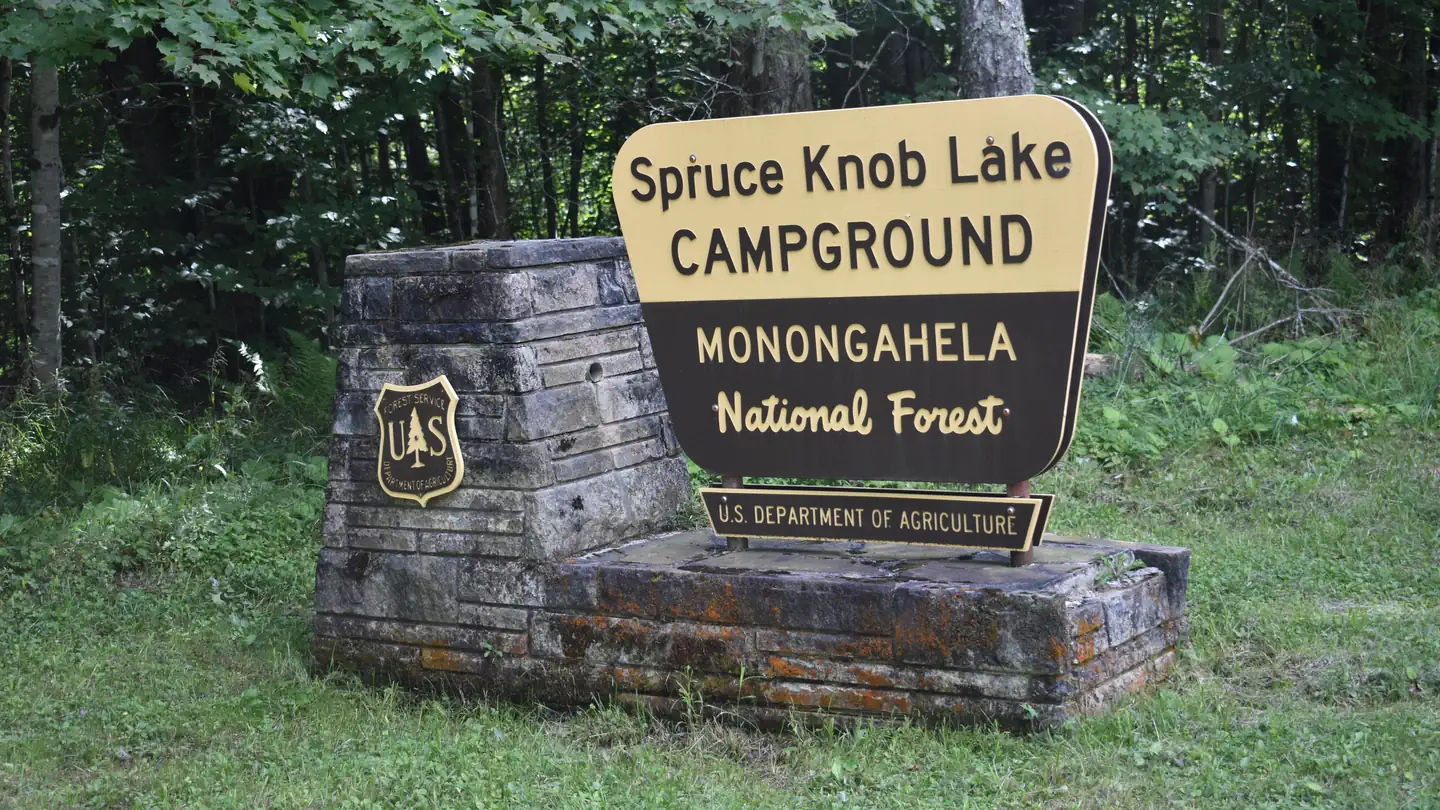
The nearest public campgrounds are Gatewood Group (6 mi), Spruce Knob Lake (10.4 mi, partly first-come), and Island Campground (11.2 mi, first-come).
Source: Campgrounds nearby