Blowout Campground
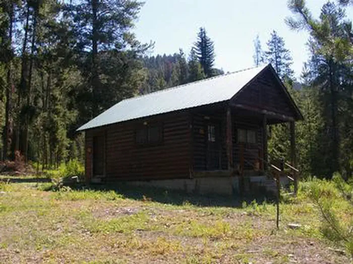
Blowout Campground is located on Highwy 26, approxiametly 58 miles southeast of Idaho Falls, ID. Aspens and tall lodgepole pines partially shade the campground. Blowout Boat Ramp is located down the hill from the campgroud and is on the Palisades Reservoir. Fishing for Yellowstone Cutthroat Trout, Brown Trout, Lake Trout and Kokanee, motorized and non-motorized boating activities are all popular on the reservoir. The Blowout Campground has 11 single units and 4 double units. Full time campground host located on site. Firewood is for sale at campground. First Come/First Served; Dry Camping (No Host, Bathrooms locked); No Fee after Fall Closure
More like this: first-come in Idaho · free in Idaho

Season & status
| Status | Closed for the season. Forest Service sites close for the season; check the official page for the reopening date. |
| Season | Mid May |
| Forest | Caribou-Targhee National Forest |
| Fees | For current fees, please go to Recreation.gov |
Weather by month
Getting there
From Idaho Falls, ID go about 58 miles southeast on US Hwy 26. From Alpine, WY go about 12 miles northwest on US Hwy 26.
| Coordinates | 43.1713° N, 111.0729° W · Directions ↗ |
Supplies & services
| Outdoor gear | Mountainist ↗ | 2.6 mi |
| RV sales & service | Airstream of Wyoming ↗ | 8.3 mi |
| Dump station | Dump station ↗ | 17.9 mi |
Locations © OpenStreetMap contributors. Call ahead; hours change seasonally.
No site-by-site records, no amenities, no fee schedule or photos in the Recreation.gov record. What is here comes from the agency's own listing. The rest lives there.
Checked nightly. Modules appear as soon as the record fills in.
Explore
Trails nearby
- 1.3 miBitters Peak ↗5 mi trail · hiking, horse, bike
- 1.6 miBurns/Trout Creek3 mi trail · hiking, horse, bike, motorcycle and 2 more
- 2 miWilliams Creek ↗9.8 mi trail · hiking, horse, bike, motorcycle and 1 more
- 3.3 miLong Springs1.6 mi trail · hiking, horse, bike, motorcycle and 1 more
- 3.6 miGreys River Snowmobile Trail ↗58 mi trail · snowmobile, snowshoe, ski
- 4.4 miDriveway Canyon2.3 mi trail · hiking, horse, bike, motorcycle and 1 more
Trail and trailhead records are the Forest Service's. Distances are straight-line to the nearer trail end. Trail conditions are not tracked here.
Public land it sits in
This campground sits inside Caribou-Targhee National Forest, which overlaps Bridger-Teton National Forest.
- inCaribou-Targhee National Forest ↗National Forest · Forest Service · 3,077,758 acres
- inBridger-Teton National Forest ↗National Forest · Forest Service · 3,466,359 acres
Each unit is published as a centre point and an acreage rather than a boundary, so this section stands it in for a circle of the same area. Whether a campground is inside, and how far it is from one it is outside, are both approximate.
Other campgrounds nearby
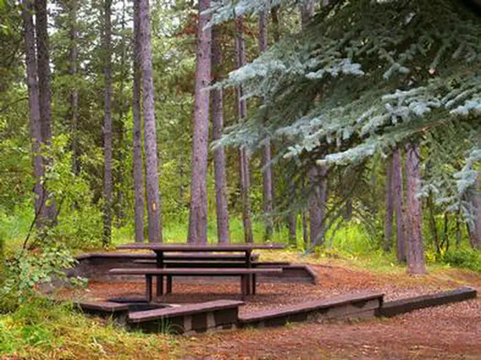
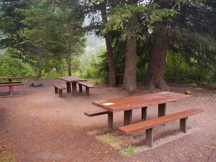
Cabin and lookout rentals nearby
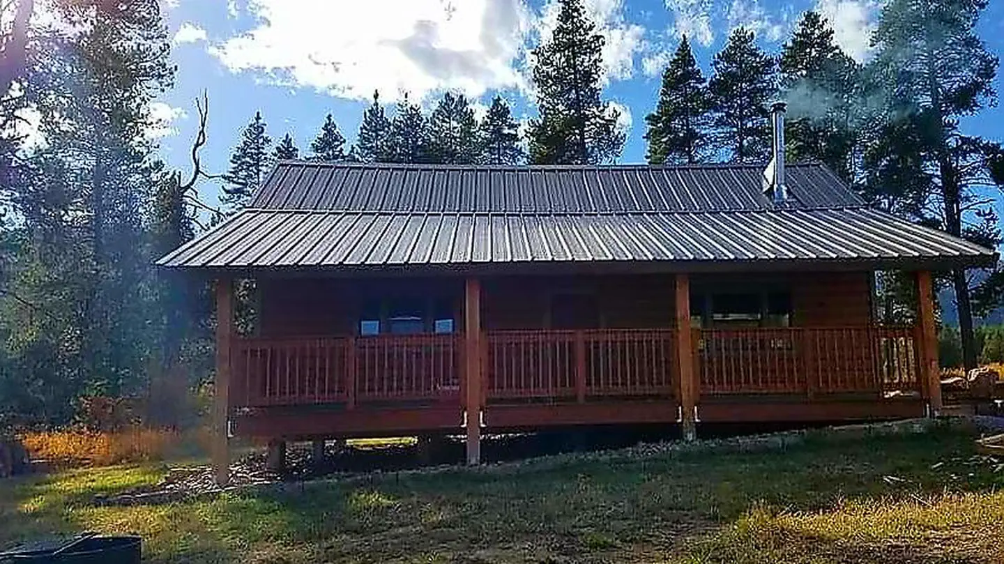
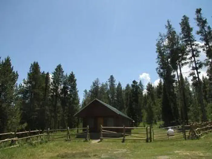
Guidebooks for Idaho
We earn a small commission if you buy through these links. It does not change what we list.

Titles come from Open Library's catalog, matched by subject heading or by title.
Reference
Questions people ask
Do I need a reservation at Blowout Campground?
No. Blowout Campground is first-come, first-served. Sites are taken on arrival and paid at the fee station.
Source: Forest Service
How much does it cost to camp at Blowout Campground?
Nothing. Blowout Campground is listed as free. For current fees, please go to Recreation.gov
Source: Forest Service
Is Blowout Campground open right now?
Closed for the season as of Oct 16, 2026. Season Mid May.
Source: Forest Service status
What if Blowout Campground is full?
The nearest public campgrounds are Mccoy Creek Campground (1.7 mi, first-come), Alpine North Loop (2.4 mi), and Blowout Campground (5.9 mi, first-come).
Source: Campgrounds nearby