Gatton Creek Campground/Day Use Area
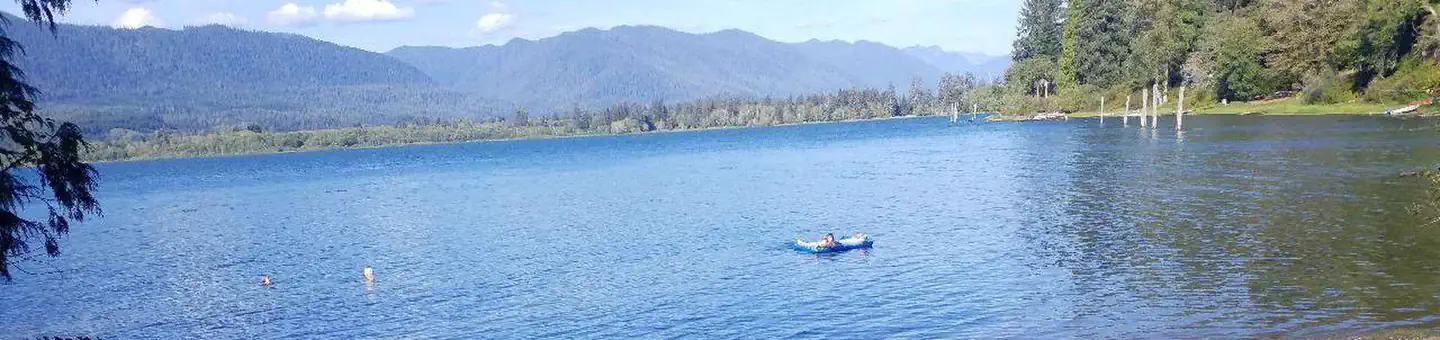
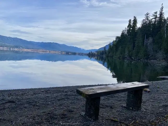
Gatton Creek Campground is located on the south shore of Lake Quinault next to Gatton Creek, a small rainforest stream. Campsites and the picnic units are located along the shore of the lake with views across the water to the forested slopes of Olympic National Park. The area provides opportunities to swim and use non motorized boats nearby. There are 5 walk-in campsites that accommodate tents. There are also 3 picnic units. Nearest boat ramps are located at Willaby and Falls Creek Campgrounds. Access Gatton Creek Trail #888 from the trailhead across from the campground along South Shore Road.
More like this: first-come in Washington

Season & status
| Status | Closed for the season. Forest Service sites close for the season; check the official page for the reopening date. |
| Season | May to 10/01 |
| Forest | Olympic National Forest |
| Fees | Camping: $25/night per walk-in unit, $12.50 for Senior and Access Pass Holders, $5/extra per vehicle Day use: The day use parking lot, trails, and beach are free to use. |
| Rules | No more than 8 people per campsite. No more than 2 vehicles per campsite. (motorcycles and bicycles excluded) No camping for longer than 14 consecutive days at the same location within a developed recreation site. No camping for longer than 21 days per calendar year on National Forest System lands. |
Weather by month
Getting there
From Aberdeen, WA travel north on US Highway 101 for 45 miles to the junction of the South Shore Road. Turn right (east) and proceed 2.8 miles on South Shore Road and turn left into the Gatton Creek Campground and Day Use parking area.
| Coordinates | 47.4731° N, 123.8380° W · Directions ↗ |
Fire nearby
- PrescribedQuinault Pile Rx
10 mi from the campground
- PrescribedForks Pile Rx
43 mi from the campground
Distance is to the reported incident point, not the fire edge. Call the managing office before you drive.
Supplies & services
| Dump station | Dump station ↗ | 25.1 mi |
| RV sales & service | North Beach RV ↗ | 33.2 mi |
| Outdoor gear | Crowley Marine ↗ | 34.4 mi |
Locations © OpenStreetMap contributors. Call ahead; hours change seasonally.
Explore
Worth a stop
- under 0.1 miGatton Creek Trailhead ↗Trailhead
- 1.4 miQuinault Rain Forest Trailhead ↗Trailhead
Trails nearby
- 0.1 miGatton Creek ↗0.5 mi trail · hiking, horse, bike · national_recreation_or_other
- 0.3 miResort Trail0.3 mi trail · hiking, horse, bike
- 0.4 miWright'S Canyon Trail0.3 mi trail · hiking, horse, bike
- 0.4 miUpper Gatton Creek Loop1.5 mi trail · hiking, horse, bike
- 0.4 miQuinault Maintenance Trail0.5 mi trail · hiking, horse, bike
- 0.7 miLodge Trail ↗0.5 mi trail · hiking, horse, bike · national_recreation_or_other
Trailheads within three miles
- under 0.1 miGatton Creek Trailhead ↗Olympic National Forest · Season Year-round
- 0.4 miBig Spruce Trailhead ↗Olympic National Forest · Season 09/16
- 0.4 miWrights Canyon Trail/Trailhead ↗Olympic National Forest · Season Year-round
- 0.5 miFalls Creek - South Shore Trailhead ↗Olympic National Forest · Season Year-round
Trail and trailhead records are the Forest Service's. Distances are straight-line to the nearer trail end. Trail conditions are not tracked here.
Public land it sits in
Colonel Bob Wilderness begins about 2.2 miles away, and it is the closest of these.
- 2.2 miColonel Bob Wilderness ↗Wilderness · Forest Service · 11,851 acres
- 3.4 miDaniel J. Evans Wilderness ↗Wilderness · National Park Service · 876,447 acres
Each unit is published as a centre point and an acreage rather than a boundary, so this section stands it in for a circle of the same area. Whether a campground is inside, and how far it is from one it is outside, are both approximate.
Other campgrounds nearby

On the National Register nearby
- Lake Quinault LodgeBuilding · Lake Quinault · 0.6 mi
- Ole Mickelson CabinBuilding · Quinault · 1 mi
Guidebooks for Washington
We earn a small commission if you buy through these links. It does not change what we list.
Titles come from Open Library's catalog, matched by subject heading or by title.
Reference
Questions people ask
Do I need a reservation at Gatton Creek Campground/Day Use Area?
No. Gatton Creek Campground/Day Use Area is first-come, first-served. Sites are taken on arrival and paid at the fee station.
Source: Forest Service
How much does it cost to camp at Gatton Creek Campground/Day Use Area?
Camping: $25/night per walk-in unit, $12.50 for Senior and Access Pass Holders, $5/extra per vehicle Day use: The day use parking lot, trails, and beach are free to use.
Source: Forest Service
Is Gatton Creek Campground/Day Use Area open right now?
Closed for the season as of Oct 16, 2026. Season May to 10/01.
Source: Forest Service status
How many sites does Gatton Creek Campground/Day Use Area have?
5 sites.
Source: Forest Service
What if Gatton Creek Campground/Day Use Area is full?
The nearest public campgrounds are Falls Creek Campground (0.4 mi), Willaby Campground (1.3 mi), and Campbell Tree Grove Campground (7.1 mi, first-come).
Source: Campgrounds nearby