Ninemeyer Campground
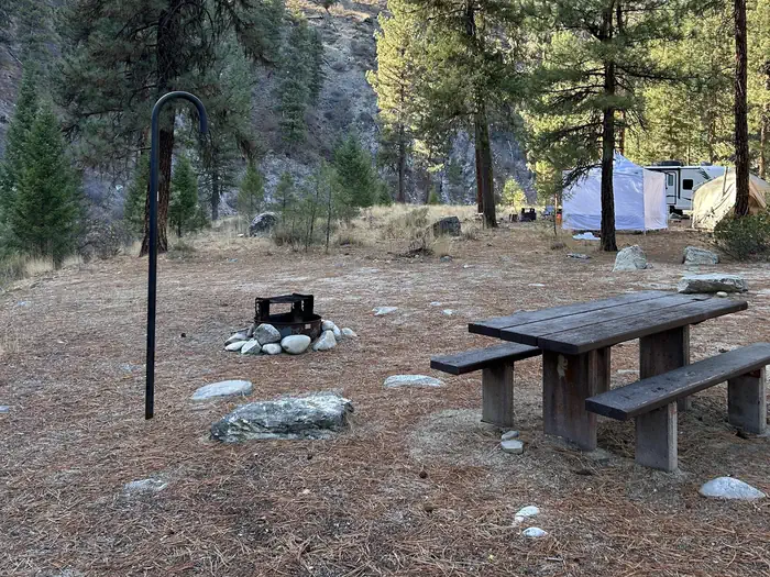
Overview. A stay at Ninemeyer Campground enables guests to enjoy all the beauty and recreation offered along the (Middle Fork Boise River Road) Forest Service (FS) Road 268. Weather is usually good from mid-May through late September and is easily accessible by car in good weather, although the road is sometimes rough and the drive can be seemingly long. Natural Features. The campground is situated along the river and wildlife watchers may want to look for deer and elk.
More like this: first-come in Idaho

Season & status
| Season | June to October |
| Forest | Boise National Forest |
| Booking | No reservations are necessary. This are no fees with 8 sites.This campground is on a first-come, first-serve basis. |
Weather by month
Getting there
From Boise, Idaho, travel State Highway 21 north to the turnoff of the Arrowrock Reservoir. Proceed east along Forest Service (FS) Road 268 (Middle Fork Boise River Road) approximately 38 miles. You will travel past the Arrowrock Dam and several other campgrounds before arriving at Neinmeyer Campground. FS Road 268 is very narrow and may be rough.
| Coordinates | 43.7559° N, 115.5685° W · Directions ↗ |
Fire nearby
- PrescribedRx Lowman Wui
25 mi from the campground
- PrescribedParadise Rx
34 mi from the campground
Distance is to the reported incident point, not the fire edge. Call the managing office before you drive.
Supplies & services
| Dump station | Dump station ↗ | 29 mi |
| Outdoor gear | Bob Greenwood's Ski Haus ↗ | 32.9 mi |
| RV sales & service | Allan Marsh Travel Center ↗ | 35.1 mi |
Locations © OpenStreetMap contributors. Call ahead; hours change seasonally.
No site-by-site records, no amenities, no fee schedule or photos in the Recreation.gov record. What is here comes from the agency's own listing. The rest lives there.
Checked nightly. Modules appear as soon as the record fills in.
Explore
Worth a stop
- 5.5 miSheep Mountain Trailhead ↗Trailhead
- 5.7 mi
Trails nearby
- 3 miShort Creek3 mi trail · hiking, horse, bike, motorcycle and 1 more
- 3.1 miPlantation3 mi trail · hiking, horse, bike, motorcycle and 1 more
- 3.9 miMeadow Creek North ↗5.3 mi trail · hiking, horse, bike, motorcycle and 1 more
- 4.3 miHungarian Ridge ↗10.7 mi trail · hiking, horse, bike, motorcycle and 1 more
- 4.4 miBrowns Creek ↗8.1 mi trail · hiking, horse, bike, motorcycle and 2 more
- 5 miBarber Flat3.6 mi trail · hiking, horse, bike, motorcycle and 1 more
Trail and trailhead records are the Forest Service's. Distances are straight-line to the nearer trail end. Trail conditions are not tracked here.
Public land it sits in
This campground sits inside Boise National Forest.
- inBoise National Forest ↗National Forest · Forest Service · 2,526,862 acres
- 9.2 miSawtooth National Forest ↗National Forest · Forest Service · 2,190,139 acres
Each unit is published as a centre point and an acreage rather than a boundary, so this section stands it in for a circle of the same area. Whether a campground is inside, and how far it is from one it is outside, are both approximate.
Other campgrounds nearby

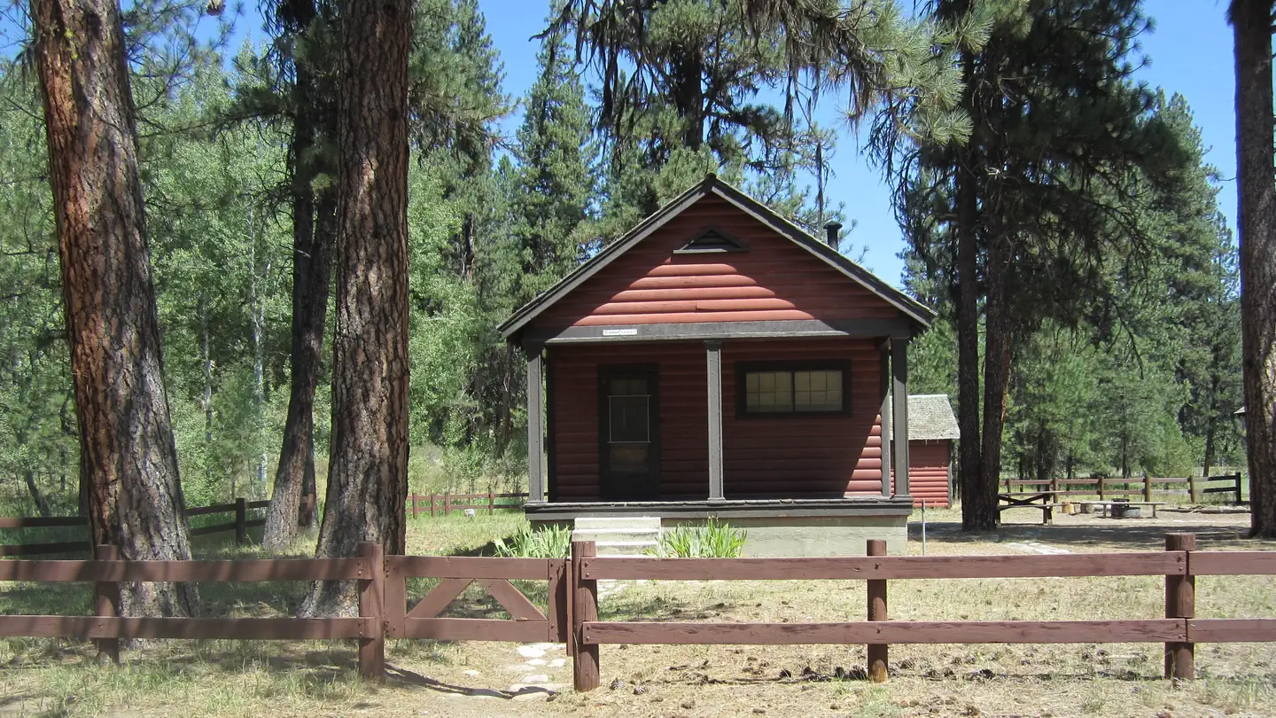
Cabin and lookout rentals nearby
Guidebooks for Idaho
We earn a small commission if you buy through these links. It does not change what we list.

Titles come from Open Library's catalog, matched by subject heading or by title.
Reference
Questions people ask
Do I need a reservation at Ninemeyer Campground?
No. Ninemeyer Campground is first-come, first-served. No reservations are necessary. Sites are taken on arrival and paid at the fee station.
Source: Forest Service
What if Ninemeyer Campground is full?
The nearest public campgrounds are Black Rock (2.9 mi, partly first-come), Troutdale Campground (3.9 mi, first-come), and Bald Mountain Campground (8.5 mi, first-come).
Source: Campgrounds nearby