Lower Wolf Creek Campground
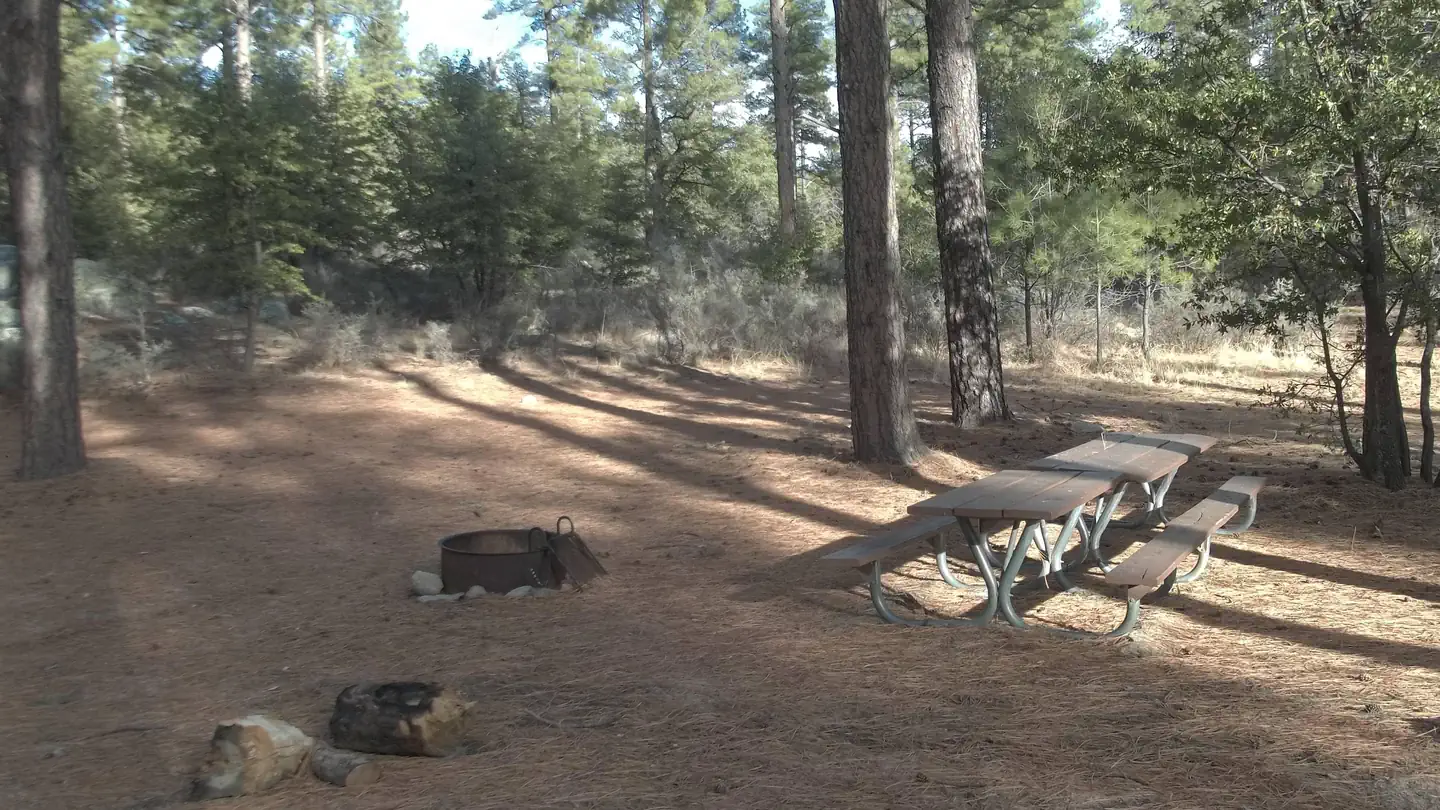
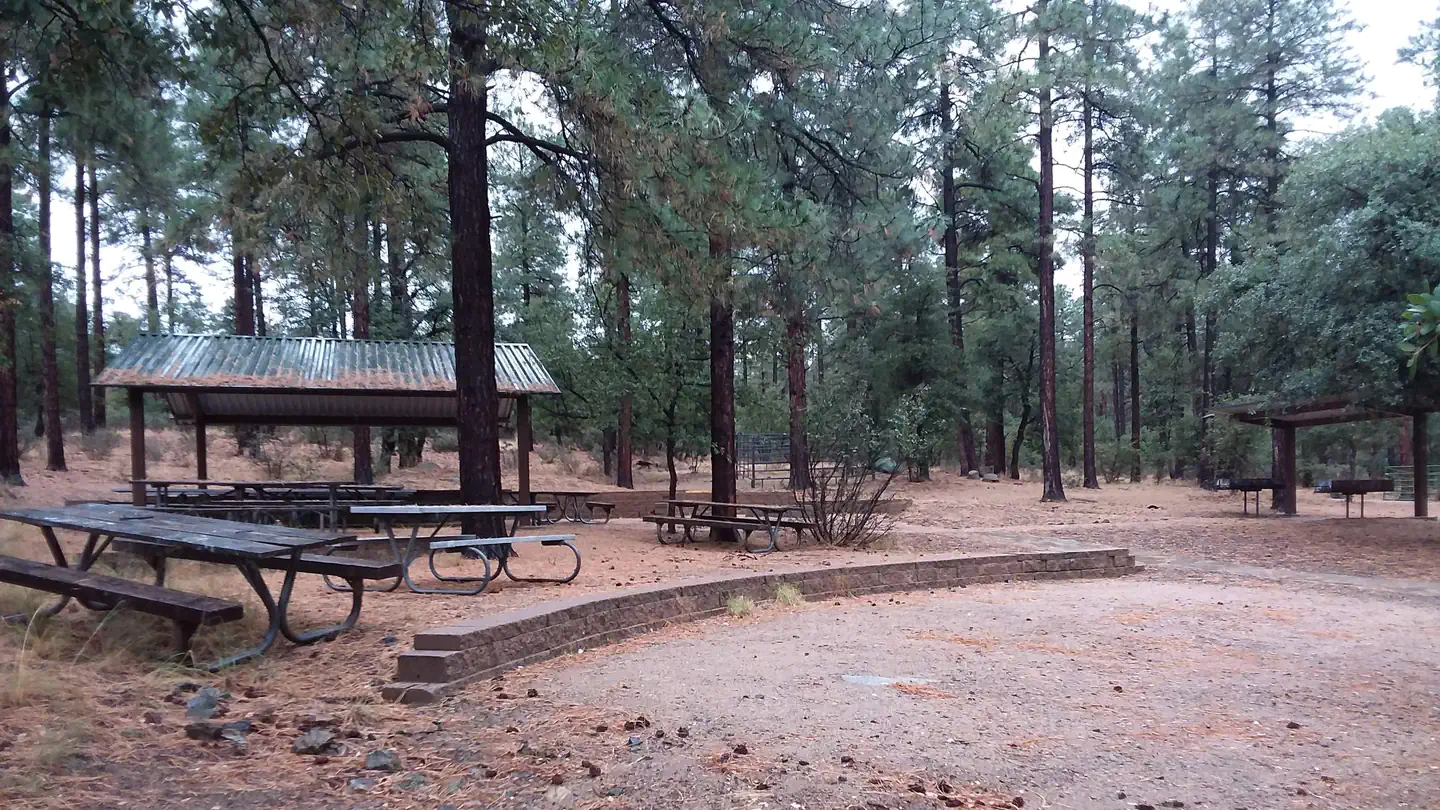
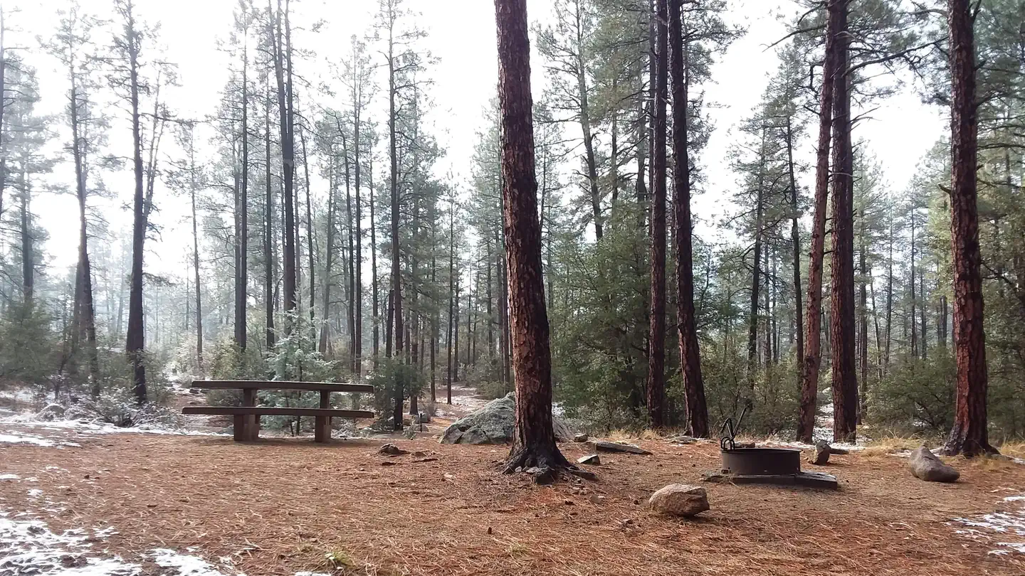
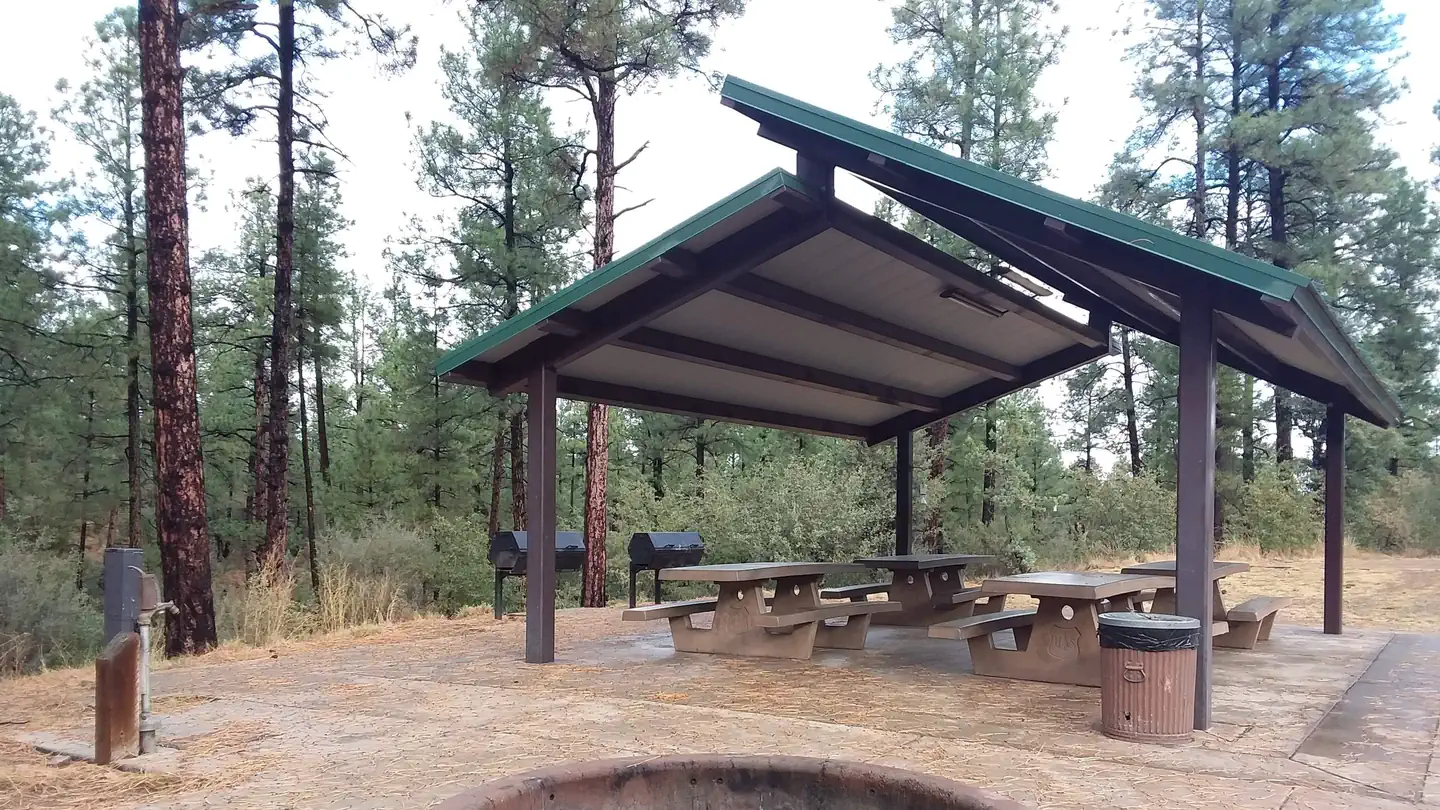
Located on the banks of Wolf Creek, Arizona walnut and live-oaks are interspersed among the ponderosa pines in this boulder-strewn campground that was constructed by the Civilian Conservation Corps in the late 1930s. 20 campsites with picnic tables, and fire rings with grills. No drinking water. Vault toilets. Garbage service
More like this: first-come in Arizona

Site map
14 campsite locations mapped by OpenStreetMap contributors. The site numbers are theirs and may not match the posts at the campground. Map data © OpenStreetMap contributors, ODbL.
Season & status
| Forest | Prescott National Forest |
| Fees | Camping permits are available at a self-service fee station. Cash payers, please bring exact change as we do not keep cash on-site. $10 for campsite. $5 for extra vehicle |
| Rules | Check-in after 2:00 p.m./Check-out by 12:00 noon. Quiet hours between 10 p.m. and 6 a.m. Campfires in developed fire pits only. Fireworks are prohibited. Dogs must be on leash (6' maximum). OHV/ATV use prohibited in the campground. Maximum length of stay: 14 days in 30-day period on the Prescott National Forest including stays at dispersed recreation sites. |
Weather by month
Getting there
There are two principal access routes to the campground. Depending upon which route you choose, travel on an unpaved road will range from 1.25 to 5 miles. From Prescott take the Senator Highway (Mt. Vernon Avenue) south for about 6 miles. You will pass the entrance to Goldwater Lake and the community of Groom Creek.
| Coordinates | 34.4546° N, 112.4597° W · Directions ↗ |
Supplies & services
| Outdoor gear | Manzanita's Outdoors ↗ | 6.4 mi |
| RV sales & service | Little Dealer Little Prices ↗ | 12.2 mi |
| Dump station | Dump station ↗ | 32.4 mi |
Locations © OpenStreetMap contributors. Call ahead; hours change seasonally.
Explore
Worth a stop
- 6.2 miLynx Lake Marina & Store Boating Site ↗Boat launch
- 6.2 mi
- 6.9 miRanch (62) Trailhead ↗Trailhead
- 14.4 miWilliamson Valley Trailhead ↗Trailhead
Trails nearby
- 0.5 miWolf Creek Loop ↗5 mi trail · hiking, horse, bike, ATV and 1 more
- 1.2 miHorsecamp Loop2.5 mi trail · hiking, horse, bike
- 1.5 miKendall Camp1.1 mi trail · hiking, horse, bike, ATV and 1 more
- 1.8 miGroom Creek Nature ↗0.3 mi trail · hiking
- 2.3 miSchoolhouse Gulch2.4 mi trail · hiking, horse, bike, ATV and 1 more
- 2.4 miPonderosa1.6 mi trail · hiking, horse, bike, motorcycle
Trailheads within three miles
- 1.3 miGroom Creek Equestrian (307) Trailhead ↗Prescott National Forest · Season Spring
Trail and trailhead records are the Forest Service's. Distances are straight-line to the nearer trail end. Trail conditions are not tracked here.
Public land it sits in
This campground sits inside Prescott National Forest.
- inPrescott National Forest ↗National Forest · Forest Service · 1,411,550 acres
- 12.4 miGranite Mountain Wilderness ↗Wilderness · Forest Service · 9,808 acres
Each unit is published as a centre point and an acreage rather than a boundary, so this section stands it in for a circle of the same area. Whether a campground is inside, and how far it is from one it is outside, are both approximate.
Other campgrounds nearby
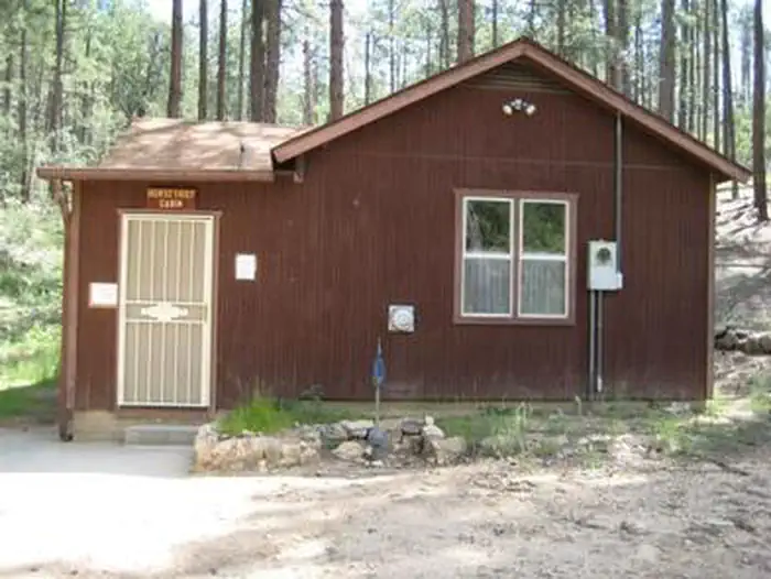
Cabin and lookout rentals nearby
On the National Register nearby
- Groom Creek SchoolBuilding · Prescott · 1.8 mi
- Rock HouseBuilding · Groom Creek · 2.5 mi
- Walker Charcoal KilnStructure · Prescott · 4.8 mi
Guidebooks for Arizona
We earn a small commission if you buy through these links. It does not change what we list.
- Best Backpacking Trips in Utah, Arizona, and New MexicoMike White and Douglas Lorain, 2016Find at Bookshop.org
Titles come from Open Library's catalog, matched by subject heading or by title.
Reference
Questions people ask
Do I need a reservation at Lower Wolf Creek Campground?
No. Lower Wolf Creek Campground is first-come, first-served. Sites are taken on arrival and paid at the fee station.
Source: Forest Service
How much does it cost to camp at Lower Wolf Creek Campground?
Camping permits are available at a self-service fee station. Cash payers, please bring exact change as we do not keep cash on-site. $10 for campsite.
Source: Forest Service
How many sites does Lower Wolf Creek Campground have?
20 sites.
Source: Forest Service
Is there cell service at Lower Wolf Creek Campground?
FCC coverage maps show AT&T 4G LTE at the campground point. Terrain changes that from one site to the next.
Source: FCC Broadband Map
What if Lower Wolf Creek Campground is full?
The nearest public campgrounds are Upper Wolf Creek Group (0.4 mi), Groom Creek Horse Camp (1.3 mi, partly first-come), and White Spar Campground (3.7 mi).
Source: Campgrounds nearby