Juanita Lake Group Campsite
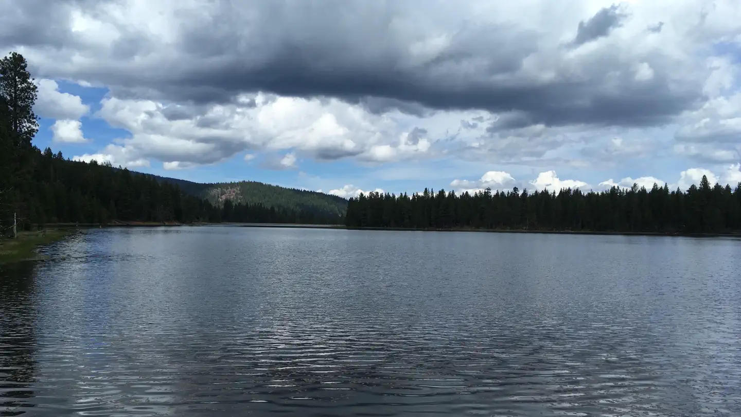
Juanita Lake campground offers a group campsite adjacent to Juanita Lake on the Klamath National Forest. The lake offers a unique combination of recreation opportunities including many water-based activities like fishing and swimming.
More like this: reservable in California · pets allowed in California · group sites in California
Check availability on Recreation.gov ↗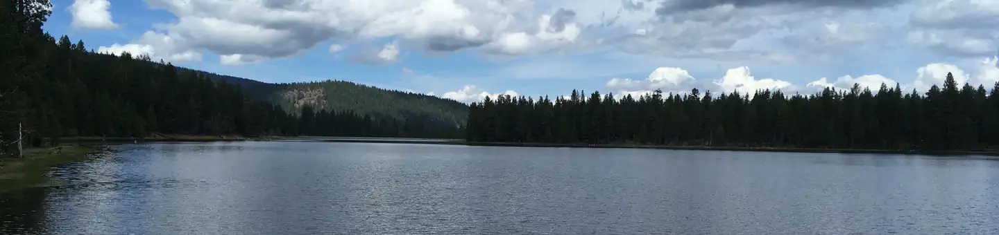

Site mix
| group standard area nonelectric | 1 |
Site guide
Will my RV fit
The longest site here provides 25 feet of vehicle capacity. Most sites are shorter.
1 site. Tap a filter to narrow the list; the map follows.
| Site | Fits, ft | Surface | Shade | Waterfront | People / vehicles | Fires | Accessible | Rating |
|---|---|---|---|---|---|---|---|---|
| Group | 25 | Paved | Partial | Lakefront | 50 / 15 | Yes | Yes | Prime |
Per-site records as published by the managing agency on Recreation.gov. Blank cells mean the agency listed nothing for that site. Check-in 2:00 PM, checkout 12:00 PM.
Amenities & rules
| Hookups | None |
| Max vehicle length | 25 ft |
| Equipment | RVs & trailers, Tents |
| Pets | Allowed |
| Campfires | Allowed, subject to restrictions |
| Tent pads | Yes |
| Accessibility | Site Group is listed accessible |
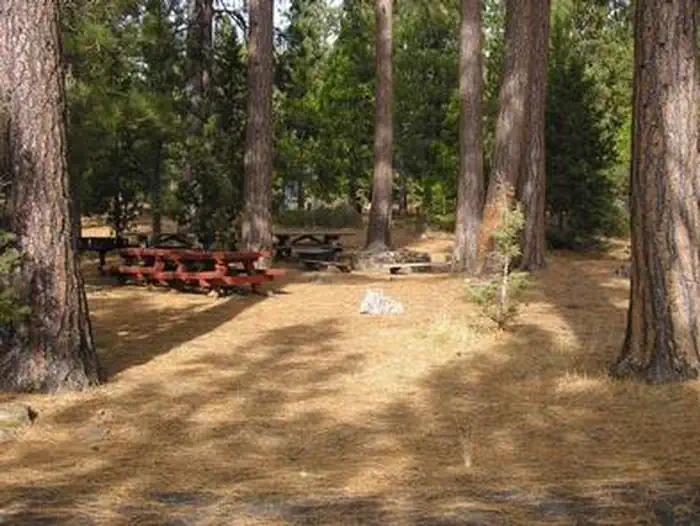
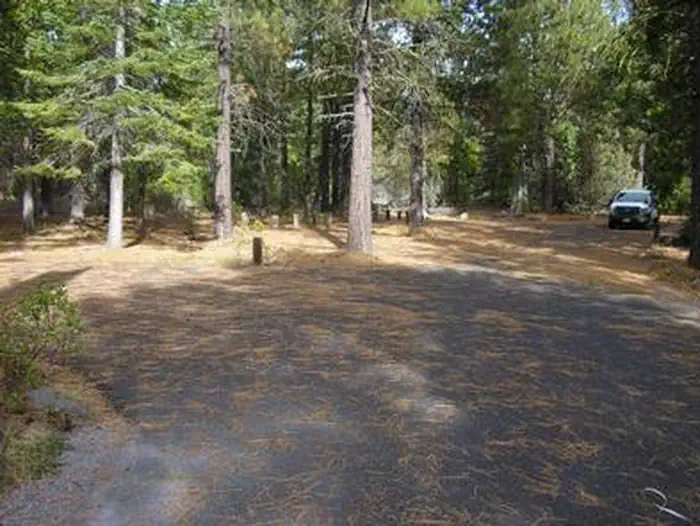
The group site is located next to Juanita Lake in a private location away from the main campground. There are four parking areas that can accommodate approximately 15 vehicles. The site offers drinking water (two spigots), eight picnic tables, a large group campfire ring, four pedestal grills, eight lantern hangers, five bear-proof trash cans and two vault toilets. All camp/tent areas have views of the lake. There is limited RV parking at the group site. This site is more suited for non-RV group use.
Individual sites vary. Confirm on Recreation.gov or with the managing office.
Weather by month
Getting there
From I-5 at Weed, CA travel northeast on State Hwy 97 approximately 35 miles to Ball Mtn Road. Turn west (left) on Ball Mtn Road and go approximately 4 miles to Forest Service Road 46N04. Turn right on 46N04 and continue to Juanita Lake and campground.
| Nearest town | Macdoel, California |
| Coordinates | 41.8155° N, 122.1234° W · Directions ↗ |
Supplies & services
| Dump station | Dump station ↗ | 31.7 mi |
| Outdoor gear | The Ledge ↗ | 33.3 mi |
| RV sales & service | Blue Compass RV ↗ | 48.6 mi |
Locations © OpenStreetMap contributors. Call ahead; hours change seasonally.
Explore
Trails nearby
- 0.2 miLong Loop3 mi trail
- 0.2 miJuanita Lake North3.2 mi trail
- 0.2 miJuanita Lake Trail ↗1.7 mi trail
- 0.5 miJuanita Lake South4 mi trail
- 0.5 miMuskgrave Creek0.7 mi trail
Trail and trailhead records are the Forest Service's. Distances are straight-line to the nearer trail end. Trail conditions are not tracked here.
Public land it sits in
This campground sits inside Klamath National Forest.
- inKlamath National Forest ↗National Forest · Forest Service · 1,705,451 acres
Each unit is published as a centre point and an acreage rather than a boundary, so this section stands it in for a circle of the same area. Whether a campground is inside, and how far it is from one it is outside, are both approximate.
Other campgrounds nearby


On the National Register nearby
- Hotel MacdoelBuilding · Macdoel · 6.2 mi
Natural features
The partially shaded campground sits at an altitude of 5,130 feet and is located on the shores of Juanita Lake surrounded by a ponderosa pine forest. The lake is a favorite bird watching area with bald eagles and osprey regularly fishing the lake. Sit among the pines and fish or watch a diverse array of wildlife that uses the area.
Recreation
The 55 acre Juanita Lake is excellent for small rowboats, rafts, and canoes. There is a paved boat launch ramp, a dock in the summer, and fish cleaning station. No motors are permitted on the lake. The lake is regularly stocked with trout and has a bass and catfish population. Those wanting to explore will enjoy the 1.5 mile paved, barrier free trail that circles the lake with two fishing jetties for easy lake access. For the more ambitious hiker, there is a 6 mile hike with a 2,700 foot elevation gain climbing up to Ball Mountain Lookout. Visitors interested in cooling off will delight in a swim or simply wading and water-play from the shoreline.
Nearby
The Butte Valley Wildlife Area is within four miles.
Guidebooks for California
We earn a small commission if you buy through these links. It does not change what we list.

Titles come from Open Library's catalog, matched by subject heading or by title.
Reference
Questions people ask
Do I need a reservation at Juanita Lake Group Campsite?
Sites at Juanita Lake Group Campsite are reservable on Recreation.gov. Any walk-up sites are listed on the booking page.
Source: Recreation.gov
What time is check-in at Juanita Lake Group Campsite?
Check-in 2:00 PM, checkout 12:00 PM.
Source: Recreation.gov
How many sites does Juanita Lake Group Campsite have?
1 site, including 1 group standard area nonelectric.
Source: Recreation.gov
Will my RV fit at Juanita Lake Group Campsite?
The longest site here provides 25 feet of vehicle capacity. Most sites are shorter. The sidebar tool checks a trailer or motorhome length against every site.
Source: Will my RV fit
Are pets allowed at Juanita Lake Group Campsite?
Yes, pets are allowed at Juanita Lake Group Campsite. Leash rules apply.
Source: Recreation.gov
Can I have a campfire at Juanita Lake Group Campsite?
Fires are allowed in the provided rings under normal conditions.
Source: Recreation.gov
Are there accessible sites at Juanita Lake Group Campsite?
Site Group is listed accessible on Recreation.gov. What that covers (a paved pad, an accessible table, a nearby accessible restroom) is on each site's booking page.
Source: Recreation.gov
What is there to do at Juanita Lake Group Campsite?
The 55 acre Juanita Lake is excellent for small rowboats, rafts, and canoes. The Recreation section on this page has the rest.
Source: Recreation
What is the nearest town to Juanita Lake Group Campsite?
Macdoel, California. The Butte Valley Wildlife Area is within four miles.
Source: Getting there
What if Juanita Lake Group Campsite is full?
The nearest public campgrounds are Juanita Lake Campground (0.1 mi), Martins Dairy Horse Camp (4.5 mi, first-come), and Shafter Campground (10.3 mi, first-come).
Source: Campgrounds nearby