South Branch Trail Camp Group Site
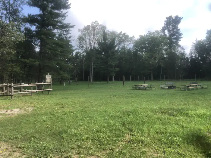
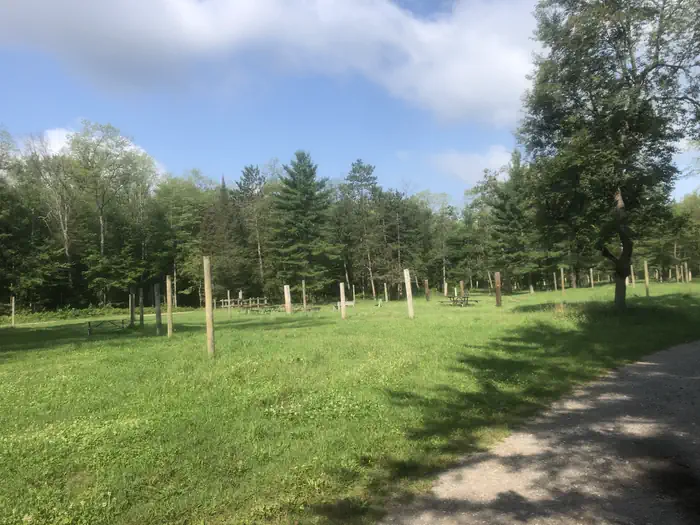
South Branch Trail Campground Group Site is ideal for equestrian camping. The group area impresses with its beautiful scenery and convenient access to horseback riding and hiking along the 240-mile Michigan Shore-to-Shore Horseback Riding and Hiking Trail. Priority will be given to campers with horses, however everyone is welcome. The spacious site holds up to 250 campers and features a day-use horse parking area.
More like this: reservable in Michigan · group sites in Michigan
Check availability on Recreation.gov ↗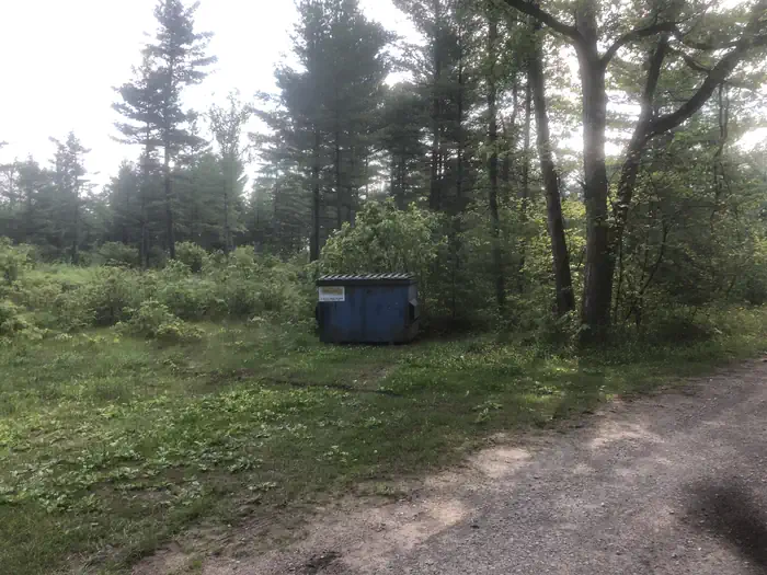
Site mix
| group equestrian | 1 |
Site guide
1 site. Tap a filter to narrow the list; the map follows.
| Site | Surface | Shade | People / vehicles | Fires |
|---|---|---|---|---|
| 001 | Gravel | Partial | 250 / – | Yes |
Per-site records as published by the managing agency on Recreation.gov. Blank cells mean the agency listed nothing for that site. Check-in 12:00 PM, checkout 12:00 PM.
Amenities & rules
Facilities include at the South Branch Trail Campground Group Site include three sets of vault toilets, an electric water pump - which requires campers to furnish a 5,000 watt generator, one garbage bin and picket posts. Parking allows for up to 65 vehicles.
Individual sites vary. Confirm on Recreation.gov or with the managing office.
Weather by month
Getting there
South Branch Trail Camp is located in northeast Michigan. If traveling from the south, go US-23 north to M-65. Stay on M-65 north through the city of Hale. 6 miles north of Hale turn north on Rollways Road. Travel 3 miles to the campground entrance.
| Nearest town | Oscoda, Michigan |
| Coordinates | 44.4869° N, 83.7961° W · Directions ↗ |
Supplies & services
| Dump station | Dump station ↗ | 12.3 mi |
| RV sales & service | Rose City RV Center ↗ | 16.8 mi |
| Outdoor gear | Lincoln Outdoors ↗ | 23.2 mi |
Locations © OpenStreetMap contributors. Call ahead; hours change seasonally.
Explore
Worth a stop
- 9.5 miSawmill Point Boat Launch ↗Boat launch
Trails nearby
- 1.5 miHale Road Spur0.5 mi trail · hiking, horse, bike, e-bike
- 2.2 miIosco Smt Rollways Spur Dnr0.5 mi trail · snowmobile, snowshoe, ski
- 2.2 miHuron ORV, Rollways Spur0.5 mi trail · hiking, horse, bike, e-bike
- 2.5 miTowerline Spur0.5 mi trail · hiking, horse, bike, e-bike
- 2.6 miTowerline to H90.05 mi trail · hiking, horse, bike, e-bike
- 3.8 miOscoda to Oasis ↗7.6 mi trail · hiking, horse, bike, e-bike
Trailheads within three miles
- 0.2 miSouth Branch Trail Campground and Trailhead ↗Huron-Manistee National Forests · Season May 3 to September 30
Trail and trailhead records are the Forest Service's. Distances are straight-line to the nearer trail end. Trail conditions are not tracked here.
Public land it sits in
This campground sits inside Huron-Manistee National Forest.
- inHuron-Manistee National Forest ↗National Forest · Forest Service · 2,028,484 acres
Each unit is published as a centre point and an acreage rather than a boundary, so this section stands it in for a circle of the same area. Whether a campground is inside, and how far it is from one it is outside, are both approximate.
Other campgrounds nearby



On the National Register nearby
- Cooke Hydroelectric PlantHistoric district · Oscoda · 11.1 mi
Natural features
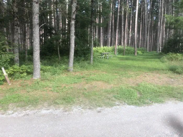
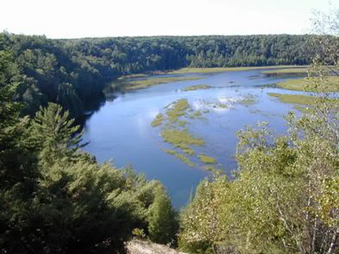
Campsites are situated in a stand of oak and pine at an elevation of 880 feet. The campground is adjacent to the South Branch River and is also not too far from the AuSable River. The magnificent Lake Huron is only a short drive east of the campground.
Recreation
Hike or horseback ride on the Michigan Shore-To-Shore Riding and Hiking Trail. The trail begins in the town of Empire near Lake Michigan, on the west side of Michigan and ends near Oscoda, Michigan on the Lake Huron eastern side of the state. The eastern part of the trail follows the historic AuSable River to its end in AuSable, just south of Oscoda.
Guidebooks for Michigan
We earn a small commission if you buy through these links. It does not change what we list.
Titles come from Open Library's catalog, matched by subject heading or by title.
Reference
Questions people ask
Do I need a reservation at South Branch Trail Camp Group Site?
Sites at South Branch Trail Camp Group Site are reservable on Recreation.gov. Any walk-up sites are listed on the booking page.
Source: Recreation.gov
What time is check-in at South Branch Trail Camp Group Site?
Check-in 12:00 PM, checkout 12:00 PM.
Source: Recreation.gov
How many sites does South Branch Trail Camp Group Site have?
1 site, including 1 group equestrian.
Source: Recreation.gov
What is there to do at South Branch Trail Camp Group Site?
Hike or horseback ride on the Michigan Shore-To-Shore Riding and Hiking Trail. The Recreation section on this page has the rest.
Source: Recreation
What is the nearest town to South Branch Trail Camp Group Site?
Oscoda, Michigan.
Source: Getting there
What if South Branch Trail Camp Group Site is full?
The nearest public campgrounds are South Branch Trail Campground and Trailhead (0.2 mi, first-come), Rollways Campground (2.2 mi), and Horseshoe Lake Campground and Boat Launch (8 mi, first-come).
Source: Campgrounds nearby