Mahogany Cove Campground
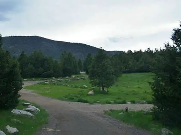
Mahogany Cove Campground is located in a grassy meadow along the Beaver Canyon Scenic Byway just 12 miles from Beaver, Utah, at an elevation of 7,200 feet. Visitors enjoy hiking, mountain biking and fishing in the nearby Beaver River.
More like this: reservable in Utah · big rigs in Utah · pets allowed in Utah · group sites in Utah
Check availability on Recreation.gov ↗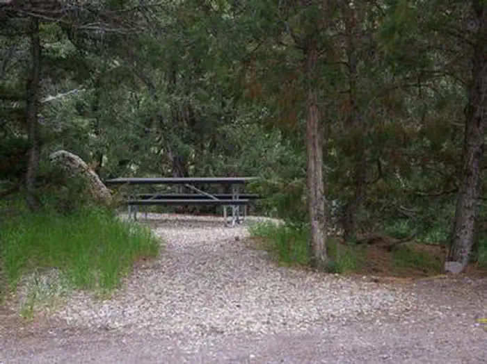
Site mix
| Standard, no hookups | 7 |
| Group sites | 2 |
Site guide
9 sites. Tap a filter to narrow the list; the map follows.
| Site | Type | Entry | Fits, ft | Surface | Shade | Water / sewer | People / vehicles | Fires | Accessible | Rating |
|---|---|---|---|---|---|---|---|---|---|---|
| 1 | Standard | Back-in | 60 | Gravel | Partial | No / No | 8 / 2 | Yes | Standard | |
| 2 | Standard | Back-in | 48 | Gravel | Partial | No / No | 8 / 2 | Yes | Standard | |
| 3 | Standard | Back-in | 36 | Gravel | Partial | No / No | 8 / 2 | Yes | Standard | |
| 4 | Standard | Back-in | 66 | Gravel | Partial | No / No | 8 / 2 | Yes | Standard | |
| 5 | Standard | Back-in | 54 | Gravel | Partial | No / No | 8 / 2 | Yes | Standard | |
| 6 | Standard | Back-in | 45 | Gravel | Partial | No / No | 8 / 2 | Yes | Standard | |
| 7 | Standard | Back-in | 45 | Gravel | Partial | No / No | 8 / 2 | Yes | Standard | |
| G1 | Group | Back-in | Gravel | Partial | 150 / 20 | Yes | Yes | |||
| G11 | Group |
Per-site records as published by the managing agency on Recreation.gov. Blank cells mean the agency listed nothing for that site. Check-in 2:00 PM, checkout 12:00 PM.
Amenities & rules
| Hookups | None |
| Max vehicle length | 66 ft |
| Equipment | RVs & trailers, Tents |
| Pets | Allowed |
| Campfires | Allowed, subject to restrictions |
| Accessibility | Site G1 is listed accessible |
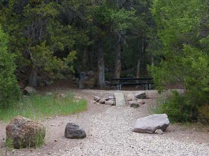
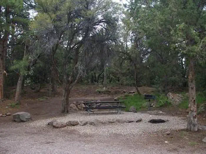
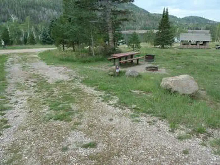
The campground consists of one group site made up of seven individual sites that can accommodate a total of 150 people and 20 vehicles. Reservations are posted at the campground in advance. The first site has several picnic tables, a large grill and campfire circle. The other six sites each contain one picnic table, fire ring and grill. Vault toilets and drinking water are provided. Roads and parking spurs are gravel. A large play field is located just inside the entrance.
Individual sites vary. Confirm on Recreation.gov or with the managing office.
Season & status
| Status | Open |
| Season | May |
| Forest | Fishlake National Forest |
| Booking | Review Mahogany Cove campground on rec.gov for availability and pricing. Please Note: All campgrounds on the Fishlake National Forest are managed by High Country Recreation under the terms and… |
| Fees | Read Mahogany Cove campground on rec.gov for availability and pricing. Additional vehicles have an additional fee. Potable water is available during the summer season. |
| Rules | SR 153 goes around three-sides of the campground, exercise caution with children and pets. OHVs are not allowed to operate in the campground and must remain on trailers for transport to OHV trailheads. Dogs must be on a leash. Fireworks are always prohibited on all National Forest lands. 16 day stay limit. |
Weather by month
Getting there
From Beaver, Utah, travel east on paved SR-153/Beaver Canyon Scenic Byway approximately 12 miles to campground.
| Nearest town | Glenwood, Utah |
| Coordinates | 38.2692° N, 112.4858° W · Directions ↗ |
Good to know
- If the entire site is not reserved, the individual sites can be used on a first-come, first-served basis.
Fire nearby
- PrescribedFremont River Rd Piles Rx
49 mi from the campground
Distance is to the reported incident point, not the fire edge. Call the managing office before you drive.
Supplies & services
| Dump station | Dump station ↗ | 37.6 mi |
Locations © OpenStreetMap contributors. Call ahead; hours change seasonally.
Explore
Worth a stop
Beaver Canyon Scenic Byway curves past the campground, offering 17 miles of scenic driving through the beautiful Tushar Mountains. Numerous lakes and streams provide fishing, boating and canoeing opportunities.
- 3.3 miCottonwood Trailhead ↗Trailhead
- 9.4 miBirch Creek Trailhead ↗Trailhead
Trails nearby
- 0.1 miBig Cove - Allred Spring1.6 mi trail · hiking, horse, bike
- 0.6 miLittle Res Accessible Fishing ↗0.07 mi trail · hiking, horse, bike
- 0.6 miCopes Basin2.6 mi trail · hiking, horse, bike, e-bike
- 0.6 miSouth Fork of Beaver River0.7 mi trail · hiking, horse, bike
- 0.7 miBeaver River #2 ↗0.05 mi trail · hiking, horse, bike
- 0.9 miSage Hill Spring1.6 mi trail · hiking, horse, bike
Trail and trailhead records are the Forest Service's. Distances are straight-line to the nearer trail end. Trail conditions are not tracked here.
Public land it sits in
Fishlake National Forest begins about 8 miles away, and it is the closest of these.
- 8 miFishlake National Forest ↗National Forest · Forest Service · 1,787,979 acres
- 10.5 miDixie National Forest ↗National Forest · Forest Service · 1,711,285 acres
Each unit is published as a centre point and an acreage rather than a boundary, so this section stands it in for a circle of the same area. Whether a campground is inside, and how far it is from one it is outside, are both approximate.
Other campgrounds nearby

Cabin and lookout rentals nearby
On the National Register nearby
- Fort CameronBuilding · Beaver · 6.3 mi
- William Robinson HouseBuilding · Beaver · 6.9 mi
- Maggie Gillies White HouseBuilding · Beaver · 7.1 mi
Natural features
Stands of mahogany, pinion, juniper and ponderosa pine trees provide partial shade. The campground offers pretty views of the Tushar Range. An overlook just outside the campground has views of Beaver Canyon.
Recreation
Fishing for rainbow and brook trout is popular on the Beaver River, which is just a short drive below the campground. Hiking, mountain biking and hunting are popular activities in the area.
Guidebooks for Utah
We earn a small commission if you buy through these links. It does not change what we list.


Titles come from Open Library's catalog, matched by subject heading or by title.
Reference
Questions people ask
Do I need a reservation at Mahogany Cove Campground?
Sites at Mahogany Cove Campground are reservable on Recreation.gov. Review Mahogany Cove campground on rec.gov for availability and pricing. Any walk-up sites are listed on the booking page.
Source: Recreation.gov
How much does it cost to camp at Mahogany Cove Campground?
Read Mahogany Cove campground on rec.gov for availability and pricing. Additional vehicles have an additional fee. Potable water is available during the summer season.
Source: Recreation.gov
What time is check-in at Mahogany Cove Campground?
Check-in 2:00 PM, checkout 12:00 PM.
Source: Recreation.gov
Is Mahogany Cove Campground open right now?
Open as of Oct 16, 2026. Season May.
Source: Forest Service status
How many sites does Mahogany Cove Campground have?
9 sites, including 7 standard sites without power and 2 group sites.
Source: Recreation.gov
Will my RV fit at Mahogany Cove Campground?
The longest site here provides 66 feet of vehicle capacity. Most sites are shorter. The sidebar tool checks a trailer or motorhome length against every site.
Source: Will my RV fit
Are pets allowed at Mahogany Cove Campground?
Yes, pets are allowed at Mahogany Cove Campground. Leash rules apply.
Source: Recreation.gov
Can I have a campfire at Mahogany Cove Campground?
Fires are allowed in the provided rings under normal conditions. As of 2026-10-16, there is 1 active fire within 50 miles, so check current restrictions before you light one. SR 153 goes around three-sides of the campground, exercise caution with children and pets.
Source: Fire nearby
Are there accessible sites at Mahogany Cove Campground?
Site G1 is listed accessible on Recreation.gov. What that covers (a paved pad, an accessible table, a nearby accessible restroom) is on each site's booking page.
Source: Recreation.gov
What is there to do at Mahogany Cove Campground?
Fishing for rainbow and brook trout is popular on the Beaver River, which is just a short drive below the campground. The Recreation section on this page has the rest.
Source: Recreation
What is the nearest town to Mahogany Cove Campground?
Glenwood, Utah. Beaver Canyon Scenic Byway curves past the campground, offering 17 miles of scenic driving through the beautiful Tushar Mountains.
Source: Getting there
What if Mahogany Cove Campground is full?
The nearest public campgrounds are Little Reservoir Campround (0.6 mi), Kents Lake Campground (2.7 mi), and Little Cottonwood Campground (3.2 mi).
Source: Campgrounds nearby