Hunter Peak
Hunter Peak Campground is located on the Chief Joseph Scenic Highway/State Highway 296, approximately four miles south of the junction with scenic Beartooth Highway/U.S. Highway 12. The campground is about 60 miles northeast of Cody, in northwestern Wyoming.
More like this: reservable in Wyoming · big rigs in Wyoming
Check availability on Recreation.gov ↗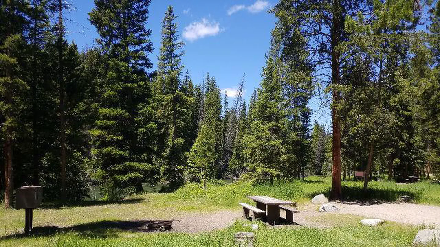
Site mix
| Standard, no hookups | 8 |
Site guide
Will my RV fit
The longest site here provides 56 feet of vehicle capacity. Most sites are shorter.
8 sites. Tap a filter to narrow the list; the map follows.
| Site | Entry | Fits, ft | Surface | Shade | People / vehicles |
|---|---|---|---|---|---|
| 002 | Back-in | 32 | Gravel | Full | 6 / 2 |
| 003 | Back-in | 23 | Gravel | Full | 6 / 2 |
| 004 | Back-in | 35 | Gravel | Full | 6 / 2 |
| 005 | Back-in | 31 | Gravel | Partial | 6 / 2 |
| 006 | Back-in | 56 | Gravel | Partial | 6 / 2 |
| 007 | Back-in | 35 | Gravel | Full | 6 / 2 |
| 008 | Back-in | 34 | Gravel | Full | 6 / 2 |
| 009 | Back-in | 50 | Gravel | Partial | 6 / 2 |
Per-site records as published by the managing agency on Recreation.gov. Blank cells mean the agency listed nothing for that site. Check-in 2:00 PM, checkout 12:00 PM.
Amenities & rules
| Hookups | None |
| Max vehicle length | 56 ft |
| Equipment | RVs & trailers, Tents |
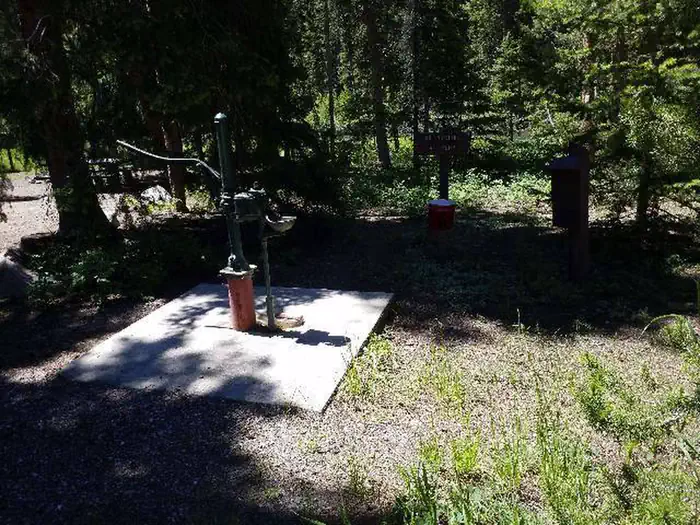
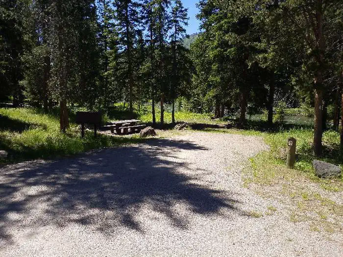
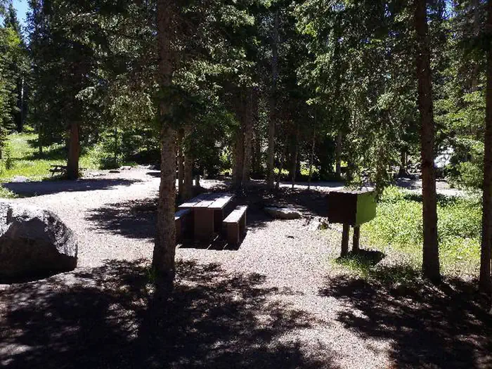
This small campground contains single-family campsites, each equipped with a table and campfire ring. Vault toilets, hand-pumped water, and trash collection are provided. A host is on-site. Firewood may be gathered in the area. Fuel and sundries are available in the nearby community of Crandall. Sites 5, 6, 7, and 8 are available for reservation.
Individual sites vary. Confirm on Recreation.gov or with the managing office.
Season & status
| Status | Closed for the season. Forest Service sites close for the season; check the official page for the reopening date. |
| Forest | Shoshone National Forest |
| Booking | Reservations for the Hunter Peak Campground can be made at www.recreation.gov |
| Fees | Overnight Use: Single Site: $20/night. Interagency Senior/Access Recreation Passes provide a 50% discount to Single Campsites ONLY. *The discount applies only to the fee for the campsite physically occupied by the pass holder, not to any additiol fee or campsite(s) occupied by members of the pass… |
| Rules | Food Storage is Required |
Weather by month
Getting there
From Cody, Wyo. travel north on State Highway 120 to Highway 296. Enjoy your drive along the Chief Joseph Scenic Byway as the campground is approximately 60 miles from Cody, and located on the left side of the highway. From the northeast entrance of Yellowstone Park or Red Lodge, MT, travel on U.S.
| Nearest town | Cody, Wyoming |
| Coordinates | 44.8847° N, 109.6544° W · Directions ↗ |
Fire nearby
- WildfireMonk
50 mi from the campground · 41 acres
Distance is to the reported incident point, not the fire edge. Call the managing office before you drive.
Supplies & services
| Outdoor gear | Grizzly Peak Outdoors ↗ | 28.8 mi |
| Dump station | Dump station ↗ | 38.2 mi |
Locations © OpenStreetMap contributors. Call ahead; hours change seasonally.
Explore
Worth a stop
The Beartooth Highway was deemed "the most beautiful drive in America," by the late Charles Kuralt. It snakes across the rugged Beartooth Mountains from Red Lodge to Cooke City, Mont. and is the highest elevation highway in the Northern Rockies. Along the way, visitors are treated to sweeping views and plentiful outdoor recreation opportunities. Yellowstone National Park's northeast entrance is approximately 24 miles from the campground via the Beartooth Highway. The park offers unparalleled wildlife viewing opportunities, as well as breathtaking scenery and unique geological features.
- 13.7 miSunlight Creek Picnic Site ↗Day use
Trails nearby
- 0.2 miClarks Fork Trail ↗17.3 mi trail · hiking, horse, bike
- 2.1 miKuchunteka'A Naokwaide Trail ↗4 mi trail · hiking, horse, bike
- 2.5 miCrandall Trail ↗19 mi trail · hiking, horse, bike · national_scenic_or_historic
- 2.6 miNorth Crandal Trail ↗16.4 mi trail · hiking, horse, bike
- 2.9 miLodge Pole Trail ↗8.8 mi trail · hiking, horse, bike
- 3.2 miCrandal Cut Off/N. Crandal T.H ↗1.6 mi trail · hiking, horse, bike
Trail and trailhead records are the Forest Service's. Distances are straight-line to the nearer trail end. Trail conditions are not tracked here.
Public land it sits in
This campground sits inside North Absaroka Wilderness, which overlaps Custer Gallatin National Forest.
- inNorth Absaroka Wilderness ↗Wilderness · Forest Service · 346,320 acres
- inCuster Gallatin National Forest ↗National Forest · Forest Service · 3,412,203 acres
- 10 miAbsaroka-Beartooth Wilderness ↗Wilderness · Forest Service · 937,102 acres
Each unit is published as a centre point and an acreage rather than a boundary, so this section stands it in for a circle of the same area. Whether a campground is inside, and how far it is from one it is outside, are both approximate.
Other campgrounds nearby



Cabin and lookout rentals nearby
Historic landmarks nearby

Natural features
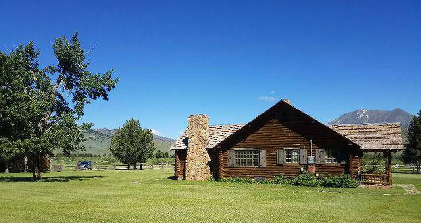
The campground sits on the banks of the Clarks Fork of the Yellowstone River, at an elevation of 6,500 feet. A mixed conifer forest covers the campground. A variety of wildlife, including grizzly bear, deer and elk makes its home in the area.
Recreation
The Clarks Fork offers outstanding fishing opportunities for rainbow and cutthroat trout. Many hiking trails are located in the area, including the Clarks Fork Trailhead, which is across the highway from the campground.
Guidebooks for Wyoming
We earn a small commission if you buy through these links. It does not change what we list.
Titles come from Open Library's catalog, matched by subject heading or by title.
Reference
Questions people ask
Do I need a reservation at Hunter Peak?
Sites at Hunter Peak are reservable on Recreation.gov. Reservations for the Hunter Peak Campground can be made at www.recreation.gov Any walk-up sites are listed on the booking page.
Source: Recreation.gov
How much does it cost to camp at Hunter Peak?
Overnight Use: Single Site: $20/night. Interagency Senior/Access Recreation Passes provide a 50% discount to Single Campsites ONLY. *The discount applies only to the fee for the campsite physically occupied by the pass holder, not to any additiol fee or campsite(s) occupied by members of the pass…
Source: Recreation.gov
What time is check-in at Hunter Peak?
Check-in 2:00 PM, checkout 12:00 PM.
Source: Recreation.gov
Is Hunter Peak open right now?
Closed for the season as of Oct 16, 2026.
Source: Forest Service status
How many sites does Hunter Peak have?
8 sites, including 8 standard sites without power.
Source: Recreation.gov
Will my RV fit at Hunter Peak?
The longest site here provides 56 feet of vehicle capacity. Most sites are shorter. The sidebar tool checks a trailer or motorhome length against every site.
Source: Will my RV fit
What is there to do at Hunter Peak?
The Clarks Fork offers outstanding fishing opportunities for rainbow and cutthroat trout. The Recreation section on this page has the rest.
Source: Recreation
What is the nearest town to Hunter Peak?
Cody, Wyoming. The Beartooth Highway was deemed "the most beautiful drive in America," by the late Charles Kuralt.
Source: Getting there
What if Hunter Peak is full?
The nearest public campgrounds are Lake Creek Campground (3.6 mi, first-come), Beartooth Lake Campground (5.3 mi, first-come), and Island Lake Campground (6.8 mi, first-come).
Source: Campgrounds nearby