Lightning Point Group Campground
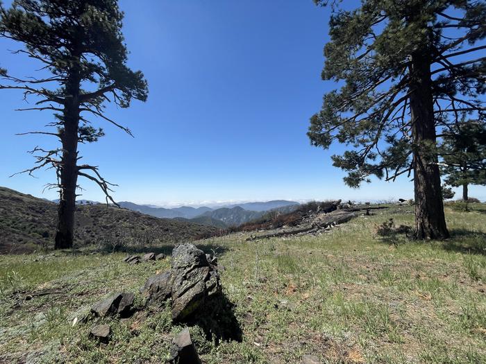
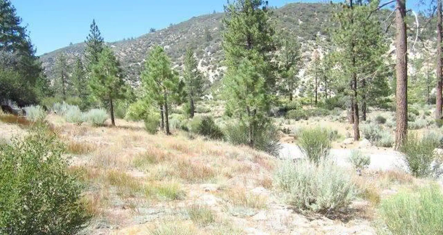
Lightning Point Campground sits at an elevation of 6,100 feet, about 25 miles southeast of Palmdale and roughly 35 miles north of the San Fernando Valley. Nestled among Jeffrey pines, scrub oaks, and manzanita, the campground offers accommodations for both group visitors and equestrian campers. The nearby Pacific Crest National Scenic Trail is a favorite destination, providing access to a route that stretches from Canada to Mexico and showcases six of North America’s seven ecozones.
More like this: reservable in California · big rigs in California · pets allowed in California · group sites in California
Check availability on Recreation.gov ↗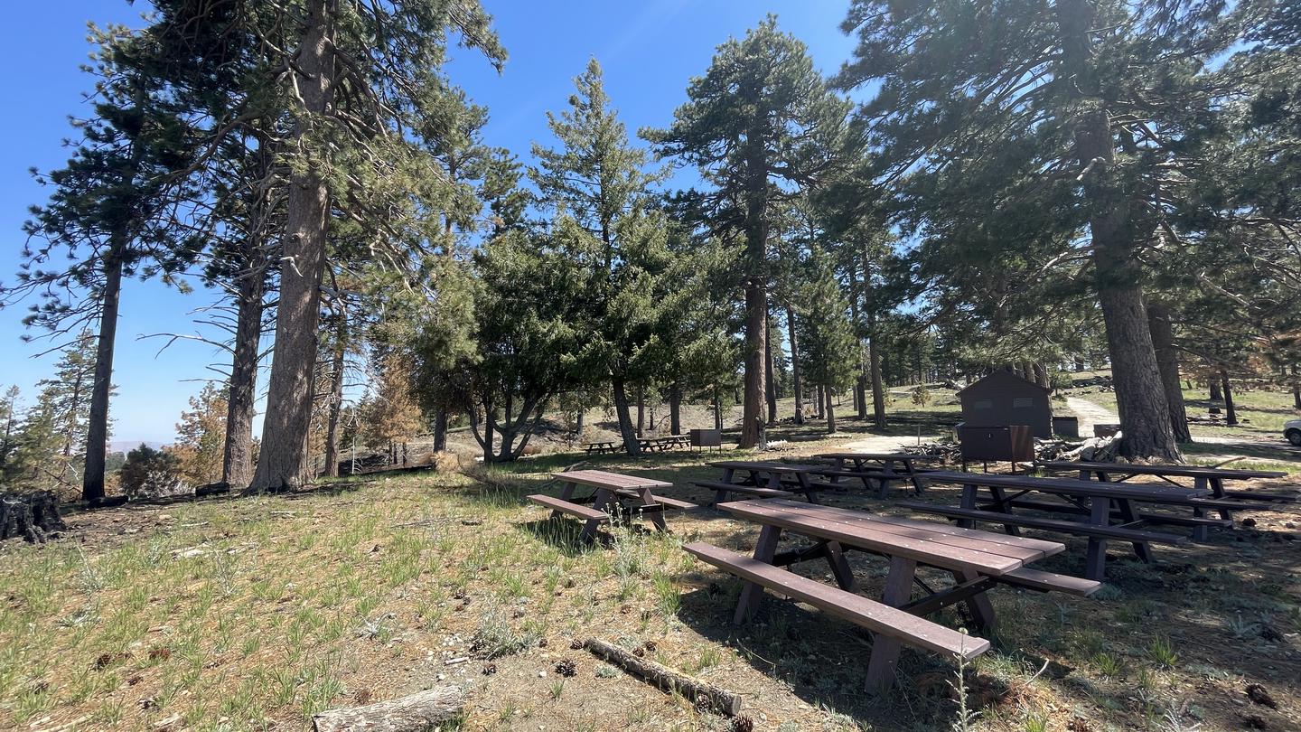
Site mix
| group standard area nonelectric | 4 |
| group equestrian | 2 |
Site guide
Will my RV fit
The longest site here provides 40 feet of vehicle capacity. Most sites are shorter.
6 sites. Tap a filter to narrow the list; the map follows.
| Site | Type | Entry | Fits, ft | Surface | Shade | Water / sewer | People / vehicles | Fires |
|---|---|---|---|---|---|---|---|---|
| 00 | Group | 40 | Paved | Partial | 40 / 20 | Yes | ||
| 01 | Group | Pull-through | 40 | Partial | No / No | 45 / 2 | Yes | |
| 02 | Group | Pull-through | 40 | Partial | No / No | 36 / 1 | Yes | |
| 03 | Group | Pull-through | 40 | Partial | No / No | 45 / 2 | Yes | |
| 05 | Group Equestrian | Paved | Partial | 40 / 20 | Yes | |||
| 06 | Group Equestrian | Paved | Partial | 40 / 20 | Yes |
Per-site records as published by the managing agency on Recreation.gov. Blank cells mean the agency listed nothing for that site. Check-in 2:00 PM, checkout 12:00 PM.
Amenities & rules
| Hookups | None |
| Max vehicle length | 40 ft |
| Equipment | RVs & trailers, Tents |
| Pets | Allowed |
| Campfires | Allowed, subject to restrictions |
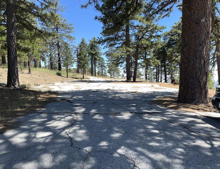
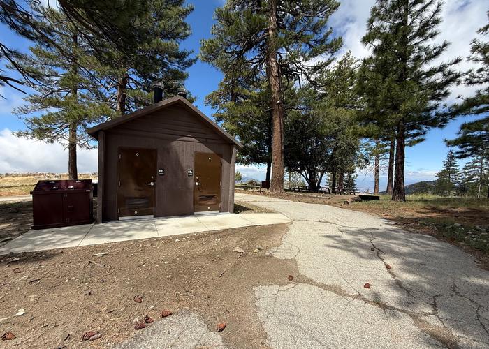
This peaceful campground has 5 group campsites each accommodating different group sizes. Campsite #1: 6 Tables, Capacity 45 Campsite #2: 4 Tables, Capacity 36 Campsite #3: 6 Tables, Capacity 45 Campsite #4: 5 Tables, Capacity 40 Campsite #5: 4 Tables, Capacity 36 2 Horse corrals located near campsites 4 and #5. Horses are not required to reserve sites. 3 double vault pit toilets located near campsites. 2 lots for overflow parking at the center of the campground.
Individual sites vary. Confirm on Recreation.gov or with the managing office.
Season & status
| Status | Closed for the season. Forest Service sites close for the season; check the official page for the reopening date. |
| Forest | Angeles National Forest |
| Booking | When open, this site can be reserved on Recreation.gov by calling Toll Free 1-877-444-6777 (International 518-885-3639 or TDD 877-833-6777) |
Weather by month
Getting there
From Interstate 210 in La Canada, exit onto the Angeles Crest Highway (HWY 2) and drive northeast for approximately 10 miles to the intersection of the Angeles Crest Highway and the Angeles Forest Highway (County Road N3).
| Nearest town | San Fernando, California |
| Coordinates | 34.3719° N, 118.1831° W · Directions ↗ |
Fire nearby
- WildfireBryson
42 mi from the campground · 200 acres · 0% contained
Distance is to the reported incident point, not the fire edge. Call the managing office before you drive.
Supplies & services
| Outdoor gear | REI ↗ | 15.1 mi |
| RV sales & service | El Monte RV ↗ | 20.7 mi |
| Dump station | Dump station ↗ | 33.9 mi |
Locations © OpenStreetMap contributors. Call ahead; hours change seasonally.
Explore
Worth a stop
Hop in the car and drive along the Angeles Crest Highway, a scenic byway that meanders through oak thickets, chaparral, high desert landscapes and pine tree forests.
- 4.1 mi
- 4.7 miHidden Springs Picnic Site ↗Day use
- 6 miPct Pony Park Trailhead ↗Trailhead
- 6.2 miTrail Canyon Trailhead ↗Trailhead
- 11.8 miFisherman's Point Fishing Site ↗Fishing site
Trails nearby
- 0.1 miLightning Point Interpretive1 mi trail · hiking, horse, bike
- 0.1 miTrail Canyon Trail ↗9.6 mi trail · hiking, horse, bike
- 0.7 miArrastre Canyon ↗5.6 mi trail · hiking, horse, bike
- 1.6 miPCT Pacifico Mountain ↗15 mi trail · hiking, horse, bike · national_scenic_or_historic
- 1.6 miPCT Mt. Gleason ↗16.6 mi trail · hiking, horse, bike · national_scenic_or_historic
- 2.2 miUpper Pacoima Canyon Trail ↗13.8 mi trail · hiking, horse, bike
Trail and trailhead records are the Forest Service's. Distances are straight-line to the nearer trail end. Trail conditions are not tracked here.
Public land it sits in
This campground sits inside Angeles National Forest.
- inAngeles National Forest ↗National Forest · Forest Service · 706,719 acres
- 6.6 miMagic Mountain Wilderness ↗Wilderness · Forest Service · 12,178 acres
- 11.1 miSan Gabriel Wilderness ↗Wilderness · Forest Service · 35,738 acres
Each unit is published as a centre point and an acreage rather than a boundary, so this section stands it in for a circle of the same area. Whether a campground is inside, and how far it is from one it is outside, are both approximate.
Other campgrounds nearby


Historic landmarks nearby


Natural features
Located at 6,100 feet, the area experiences warm summer days in the low 80s and cool, refreshing nights. The Angeles National Forest showcases a wide range of vegetation, with chaparral and oak woodlands at lower elevations and pine forests at higher elevations. Overall, the landscape ranges from low canyons at around 1,200 feet to rugged mountain peaks reaching up to 10,000 feet, offering diverse scenery throughout the region.
Recreation
Hiking, bird watching/wildlife viewing, horseback riding/horse camping, are the biggest attractions for campers. Angeles National Forest boasts 557 miles of hiking and equestrian trails. All trails, excluding the Pacific Crest Trail, allow mountain biking as well.
Guidebooks for California
We earn a small commission if you buy through these links. It does not change what we list.

Titles come from Open Library's catalog, matched by subject heading or by title.
Reference
Questions people ask
Do I need a reservation at Lightning Point Group Campground?
Sites at Lightning Point Group Campground are reservable on Recreation.gov. When open, this site can be reserved on Recreation.gov by calling Toll Free 1-877-444-6777 (International 518-885-3639 or TDD 877-833-6777) Any walk-up sites are listed on the booking page.
Source: Recreation.gov
What time is check-in at Lightning Point Group Campground?
Check-in 2:00 PM, checkout 12:00 PM.
Source: Recreation.gov
Is Lightning Point Group Campground open right now?
Closed for the season as of Oct 16, 2026.
Source: Forest Service status
How many sites does Lightning Point Group Campground have?
6 sites, including 4 group standard area nonelectric and 2 group equestrian.
Source: Recreation.gov
Will my RV fit at Lightning Point Group Campground?
The longest site here provides 40 feet of vehicle capacity. Most sites are shorter. The sidebar tool checks a trailer or motorhome length against every site.
Source: Will my RV fit
Are pets allowed at Lightning Point Group Campground?
Yes, pets are allowed at Lightning Point Group Campground. Leash rules apply.
Source: Recreation.gov
Can I have a campfire at Lightning Point Group Campground?
Fires are allowed in the provided rings under normal conditions. As of 2026-10-16, there is 1 active fire within 50 miles, so check current restrictions before you light one.
Source: Fire nearby
What is there to do at Lightning Point Group Campground?
Hiking, bird watching/wildlife viewing, horseback riding/horse camping, are the biggest attractions for campers. The Recreation section on this page has the rest.
Source: Recreation
What is the nearest town to Lightning Point Group Campground?
San Fernando, California. Hop in the car and drive along the Angeles Crest Highway, a scenic byway that meanders through oak thickets, chaparral, high desert landscapes and pine tree forests.
Source: Getting there
What if Lightning Point Group Campground is full?
The nearest public campgrounds are Messenger Flats Campground (0.7 mi, first-come), Monte Cristo Campground (4.7 mi, partly first-come), and Mt. Pacifico Campground (8.5 mi, first-come).
Source: Campgrounds nearby