Salmon Cove Group Site
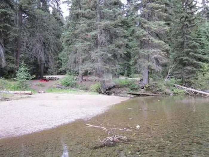
Salmon Cove Group Campground is located on the pebble-strewn bank of the American River in the Okanogan-Wenatchee National Forest, providing a nice setting for groups and larger gatherings. Visitors enjoy fishing, rafting and hiking in the surrounding area.
More like this: reservable in Washington · big rigs in Washington · group sites in Washington
Check availability on Recreation.gov ↗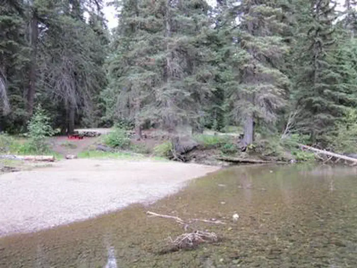
Site mix
| group standard area nonelectric | 1 |
Site guide
Will my RV fit
The longest site here provides 40 feet of vehicle capacity. Most sites are shorter.
1 site. Tap a filter to narrow the list; the map follows.
| Site | Fits, ft | Surface | Shade | People / vehicles |
|---|---|---|---|---|
| 001 | 40 | Gravel | Full | 60 / 15 |
Per-site records as published by the managing agency on Recreation.gov. Blank cells mean the agency listed nothing for that site. Check-in 1:00 PM, checkout 11:00 AM.
Amenities & rules
| Hookups | None |
| Max vehicle length | 40 ft |
| Equipment | RVs & trailers, Tents |
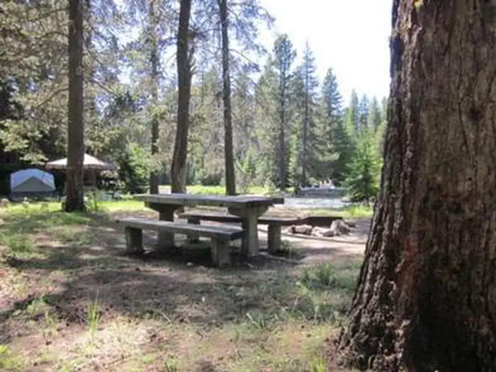
Salmon Cove Group Campground contains one large site that can accommodate up to 60 people and 15 vehicles. The site is equipped with picnic tables, campfire rings and one vault toilet. No hookups or drinking water are available. Visitors can get water at nearby Hell's Crossing Campground.
Individual sites vary. Confirm on Recreation.gov or with the managing office.
Season & status
| Status | Closed for the season. Forest Service sites close for the season; check the official page for the reopening date. |
| Forest | Okanogan-Wenatchee National Forest |
| Booking | This site can be reserved by calling Toll Free 1-877-444-6777 (International 518-885-3639 or TDD 877-833-6777) or on-line at http://www.recreation.gov |
| Fees | Daily Fee $60 plus an additional $10 Recreation.gov registration fee |
Weather by month
Getting there
From Naches, Washington, follow U.S. Highway 12 west to State Route (SR) 410. Take SR 410 for approximately 40 miles to MP 83, where you will see an access road and gate for the site on the south side of the road.
| Nearest town | Naches, Washington |
| Coordinates | 46.9608° N, 121.2767° W · Directions ↗ |
Fire nearby
- WildfireWest Fork
21 mi from the campground · 310 acres · 16% contained
- WildfireThree Queens
31 mi from the campground · 9,575 acres · 33% contained
- WildfireKing
35 mi from the campground · 3,427 acres · 36% contained
Distance is to the reported incident point, not the fire edge. Call the managing office before you drive.
Supplies & services
| Dump station | Dump station ↗ | 7 mi |
| RV sales & service | OpenRoad RV ↗ | 32.7 mi |
| Outdoor gear | EVO ↗ | 32.7 mi |
Locations © OpenStreetMap contributors. Call ahead; hours change seasonally.
Explore
Worth a stop
Boulder Cave National Recreation Trail is one of the most popular places in the Naches District. Visitors can walk the accessible trail along the river or explore Boulder Cave. Interpretive signs along the trail explain the geology, plants, animals and fire history of the area. Visitors may want to take some time to visit nearby Mount Rainier National Park. This beautiful park offers fantastic glimpses of glaciers, subalpine ecology and volcanic landscapes. Visitors also enjoy traversing the Chinook Scenic Byway, considered one of Washington's premier driving excursions. Spectacular views of Mount Rainier, old-growth forests, alpine peaks, jagged ridges and river canyons dominate this 92-mile journey.
- 1.5 miCrow Lake Way Trailhead / Sno-Park ↗Trailhead
- 4.4 miUnion Creek Sno-Park/Trailhead ↗Trailhead
- 6.9 mi
- 13.7 miWhite River Wilderness Information Center ↗Visitor center
Trails nearby
- 0.3 miFifes Ridge ↗7.4 mi trail
- 1.5 miGoat Peak ↗6.6 mi trail
- 1.6 miCrow Lake Way ↗12.7 mi trail
- 1.7 miPleasant Valley Lake2.3 mi trail
- 1.9 miGoat Creek ↗8.9 mi trail
- 2.7 miPleasant Valley Barrier Free0.7 mi trail
Trailheads within three miles
- 0.2 miWash Creek Trailhead ↗Okanogan-Wenatchee National Forest
- 0.6 miHell's Crossing Sno-Park/Trailhead ↗Okanogan-Wenatchee National Forest
- 1.5 miCrow Lake Way Trailhead / Sno-Park ↗Okanogan-Wenatchee National Forest
Trail and trailhead records are the Forest Service's. Distances are straight-line to the nearer trail end. Trail conditions are not tracked here.
Public land it sits in
Norse Peak Wilderness begins about 0.5 miles away, and it is the closest of these.
- 0.5 miNorse Peak Wilderness ↗Wilderness · Forest Service · 52,294 acres
- 2.3 miWilliam O. Douglas Wilderness ↗Wilderness · Forest Service · 168,955 acres
- 10.6 miMount Rainier Wilderness ↗Wilderness · National Park Service · 228,480 acres
Each unit is published as a centre point and an acreage rather than a boundary, so this section stands it in for a circle of the same area. Whether a campground is inside, and how far it is from one it is outside, are both approximate.
Other campgrounds nearby
Cabin and lookout rentals nearby

Historic landmarks nearby

Natural features
The Okanogan-Wenatchee is comprised of high, glaciated alpine peaks towering along the Cascade Crest, where lush valleys of old-growth forest define its western boundary. At its eastern edge, rugged shrub-steppe country comprises a more arid region. Elevations range from below 1,000 feet to over 9,000 feet. Precipitation varies greatly throughout the area, ranging from approximately 140 inches along the Cascade Crest to only 10 inches along the eastern edge. Visitors can expect many days of warm, sunny weather in the summer, and plenty of snow in the winter. The area supports wildlife such as deer, porcupine, native fish and migratory birds.
Recreation
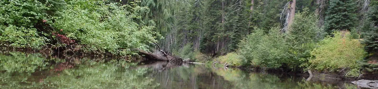
Salmon Cove Group Campground offers outdoor enthusiasts the opportunity to hike, fish, ski, raft and enjoy a multitude of recreational activities throughout the year. The American River flows next to the campground, offering a scenic backdrop for swimmers, rafters and kayakers braving its cold, refreshing waters. Anglers drop lines for rainbow and brown trout in many deep pools lining the shore. Nearby American Ridge Trail is open to hiking, backpacking and horseback riding. The trail extends 26 miles from Bumping River to the notable Pacific Crest Trail, meandering through towering forests, stretches of meadows and past alpine lakes, offering scenic ridge line views along the way.
Guidebooks for Washington
We earn a small commission if you buy through these links. It does not change what we list.
Titles come from Open Library's catalog, matched by subject heading or by title.
Reference
Questions people ask
Do I need a reservation at Salmon Cove Group Site?
Sites at Salmon Cove Group Site are reservable on Recreation.gov. This site can be reserved by calling Toll Free 1-877-444-6777 (International 518-885-3639 or TDD 877-833-6777) or on-line at http://www.recreation.gov Any walk-up sites are listed on the booking page.
Source: Recreation.gov
How much does it cost to camp at Salmon Cove Group Site?
Daily Fee $60 plus an additional $10 Recreation.gov registration fee
Source: Recreation.gov
What time is check-in at Salmon Cove Group Site?
Check-in 1:00 PM, checkout 11:00 AM.
Source: Recreation.gov
Is Salmon Cove Group Site open right now?
Closed for the season as of Oct 16, 2026.
Source: Forest Service status
How many sites does Salmon Cove Group Site have?
1 site, including 1 group standard area nonelectric.
Source: Recreation.gov
Will my RV fit at Salmon Cove Group Site?
The longest site here provides 40 feet of vehicle capacity. Most sites are shorter. The sidebar tool checks a trailer or motorhome length against every site.
Source: Will my RV fit
What is there to do at Salmon Cove Group Site?
Salmon Cove Group Campground offers outdoor enthusiasts the opportunity to hike, fish, ski, raft and enjoy a multitude of recreational activities throughout the year. The Recreation section on this page has the rest.
Source: Recreation
What is the nearest town to Salmon Cove Group Site?
Naches, Washington. Boulder Cave National Recreation Trail is one of the most popular places in the Naches District.
Source: Getting there
What if Salmon Cove Group Site is full?
The nearest public campgrounds are Hells Crossing Campground (0.6 mi), Pleasant Valley Campground (2.6 mi), and Pine Needle Group Site (3.2 mi).
Source: Campgrounds nearby