Little Mt. Hoffman Lookout
Little Mt. Hoffman Lookout was constructed in the 1920s and was used by the Forest Service on a regular basis until 1978. It is one of the few remaining historic lookouts in the Shasta-Trinity National Forest and is eligible for listing on the National Register of Historic Places. The lookout is still used by the Forest Service in times of extreme fire danger. The lookout is accessible by car, but the last 4 miles are on unpaved roads and difficult for RVs and cars with trailers to navigate. Visitors must bring many of their own supplies. The accommodations of this lookout may be rustic, but the views guarantee that visitors will have a memorable stay.
Check availability on Recreation.gov ↗
Site mix
| Cabins | 1 |
Site guide
1 site. Tap a filter to narrow the list; the map follows.
| Site | Surface | People / vehicles |
|---|---|---|
| 001 | Gravel | 4 / 4 |
Per-site records as published by the managing agency on Recreation.gov. Blank cells mean the agency listed nothing for that site. Check-in 12:00 PM, checkout 12:00 PM.
Amenities & rules
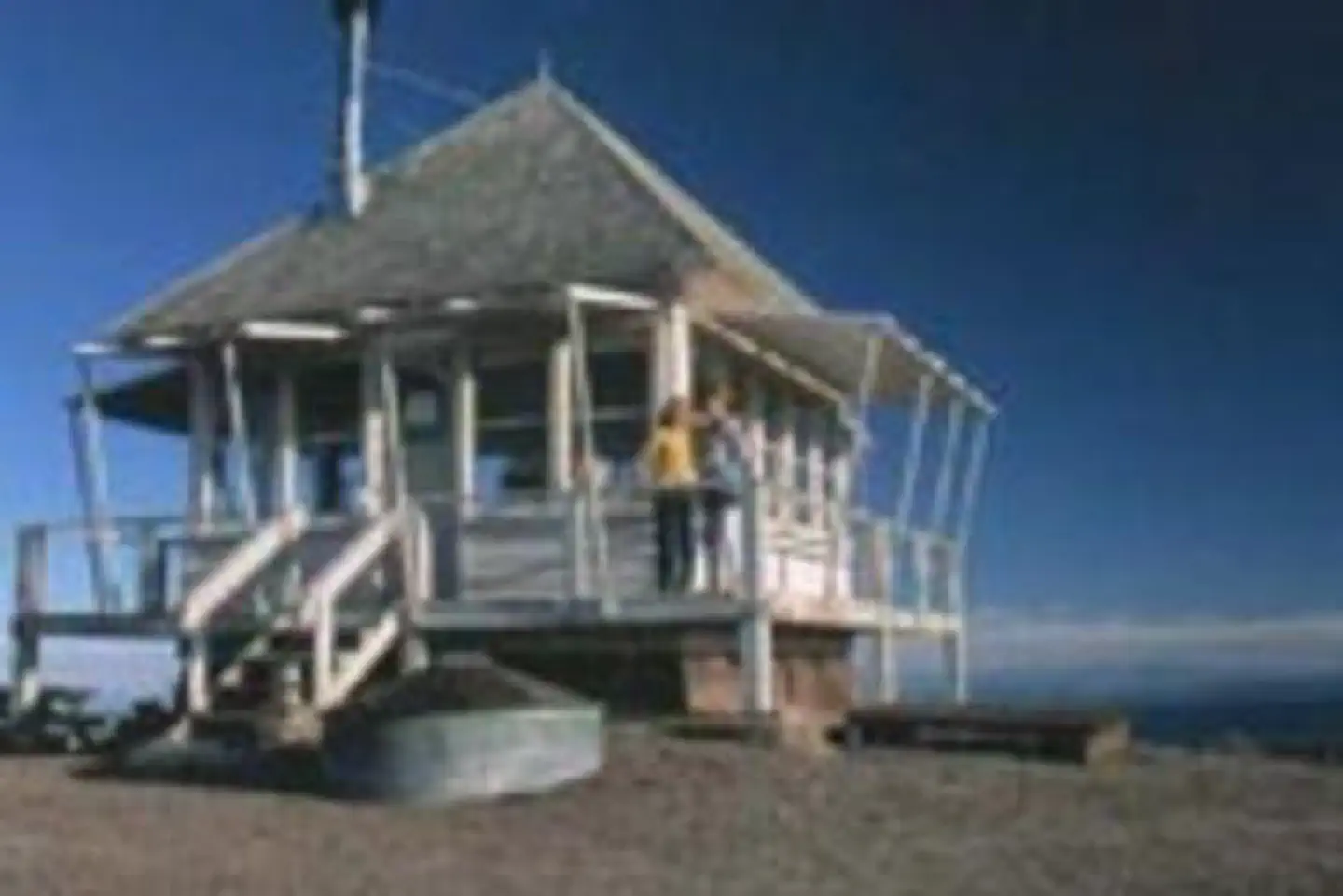
The lookout is a 14x14 wooden cabin that sits on the ground. Front steps lead up to the entrance and a wooden deck surrounds it. It's equipped with a wood stove, two cots, a shovel, a bucket, storage cabinets, dining table, cleaning gear and a fire extinguisher. A barbecue pit and picnic table are located outside. A vault toilet is housed in a separate building. This facility houses a maximum of four people. The lookout has no cooking facilities, water, bedding or electricity. Visitors must bring their own water supply and garbage bags to pack out their trash. Recommended supplies include food, toilet paper, linens and blankets, firewood, cooking utensils, extra batteries and a flashlight or lantern. Visitors should also remember to bring the reservation confirmation and the lock combination.Hoffman Lookout).
Individual sites vary. Confirm on Recreation.gov or with the managing office.
Weather by month
Getting there
From McCloud, California, travel east on Highway 89 for 16 miles to Road 15 (the Harris Springs Rd). Turn left and travel on a paved road for about 4.5 miles on Road 15 to the 49 road (Powder Hill Road). Travel for approximately 28 miles northeast to the Medicine Lake area.
| Nearest town | Mccloud, California |
| Coordinates | 41.5786° N, 121.6597° W · Directions ↗ |
Charges and cancellations
A $10.00 service fee will apply if you change or cancel your reservation. Late cancellations are subject to additional fees.
Supplies & services
| Dump station | Dump station ↗ | 4 mi |
| Outdoor gear | The Sportsmens Den ↗ | 38.4 mi |
Locations © OpenStreetMap contributors. Call ahead; hours change seasonally.
Explore
Trails nearby
- 0.3 miLittle Mt. Hoffman ↗4.5 mi trail
- 0.4 miLittle Mount Hoffman Trail3.1 mi trail · hiking, horse, bike
- 1.4 mi4 Mile Rd ↗5 mi trail
- 2.3 miCrystal Springs Trail1 mi trail · hiking, horse, bike
- 2.4 miLittle Medicine Loop0.4 mi trail · hiking, horse, bike
- 2.6 miPilgrim - Harris ↗27.2 mi trail · snowmobile, snowshoe, ski, snowcoach
Trail and trailhead records are the Forest Service's. Distances are straight-line to the nearer trail end. Trail conditions are not tracked here.
Public land it sits in
This campground sits inside Klamath National Forest.
- inKlamath National Forest ↗National Forest · Forest Service · 1,705,451 acres
- 8.1 miModoc National Forest ↗National Forest · Forest Service · 2,023,026 acres
- 10.3 miLava Beds Wilderness ↗Wilderness · National Park Service · 28,460 acres
Each unit is published as a centre point and an acreage rather than a boundary, so this section stands it in for a circle of the same area. Whether a campground is inside, and how far it is from one it is outside, are both approximate.
Other campgrounds nearby



On the National Register nearby
- Schonchin Butte Fire LookoutBuilding · Tulelake · 12.9 mi
Natural features
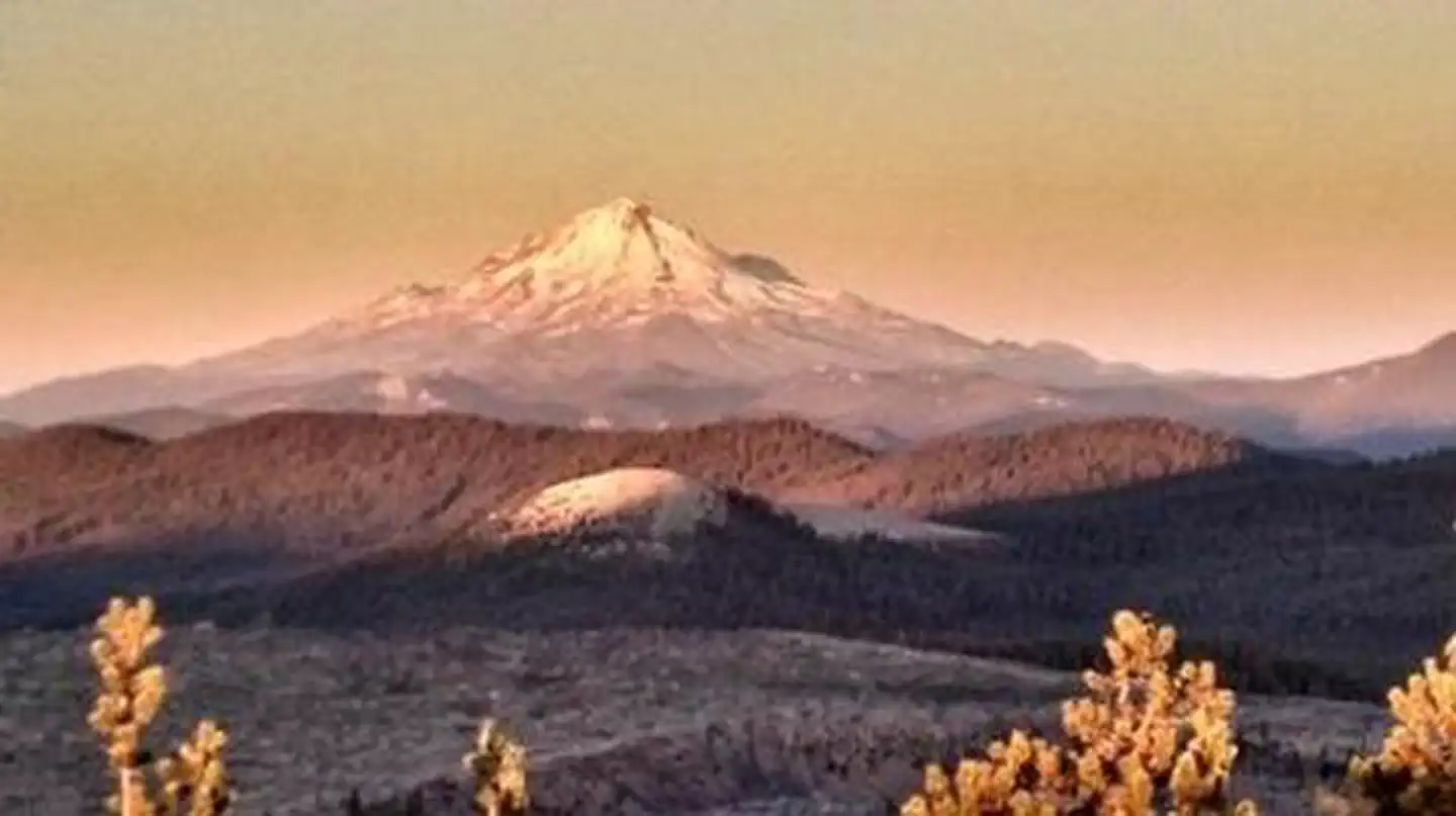
Little Mt. Hoffman is a cinder cone on the flanks of Medicine Lake Highland, the largest identified volcano within California, which extends roughly 15 miles east to west and 25 miles north to south. Medicine Lake Highland has a caldera that is partially filled by Medicine Lake. Little Mt. Hoffman sits on the rim of this caldera at 7,309 feet, providing a panoramic view of this diverse volcanic landscape. Visitors can see a spectacular view of Mt. Shasta, Mt. Lassen and southern Oregon's Mt. McLoughlin. The panorama includes the Tulelake Basin to the north, the Fall River Valley in the east and the Medicine Lake Highlands to the south.
Recreation
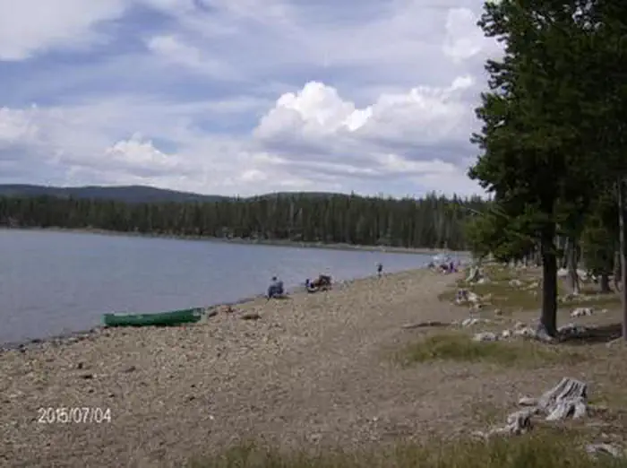
Little Mt. Hoffman Lookout is an ideal location for sightseeing and bird watching, and it's a photographer's dream. Visitors in search of more active pursuits can drive a short distance to hike and explore the many nearby hills, clearings and caves. Medicine Lake has a day use area with a large swim beach and a boat dock.
Guidebooks for California
We earn a small commission if you buy through these links. It does not change what we list.

Titles come from Open Library's catalog, matched by subject heading or by title.
Reference
Questions people ask
Do I need a reservation at Little Mt. Hoffman Lookout?
Sites at Little Mt. Hoffman Lookout are reservable on Recreation.gov. Any walk-up sites are listed on the booking page.
Source: Recreation.gov
What time is check-in at Little Mt. Hoffman Lookout?
Check-in 12:00 PM, checkout 12:00 PM.
Source: Recreation.gov
What does it cost to cancel a reservation at Little Mt. Hoffman Lookout?
A $10.00 service fee will apply if you change or cancel your reservation.
Source: Charges and cancellations
How many sites does Little Mt. Hoffman Lookout have?
1 site, including 1 cabin.
Source: Recreation.gov
What is there to do at Little Mt. Hoffman Lookout?
Little Mt. The Recreation section on this page has the rest.
Source: Recreation
What is the nearest town to Little Mt. Hoffman Lookout?
Mccloud, California.
Source: Getting there
What if Little Mt. Hoffman Lookout is full?
The nearest public campgrounds are Schonchin Springs Campground (2.4 mi, first-come), Medicine Lake Recreation Area (3.9 mi, partly first-come), and Payne Springs Campground (5.4 mi, first-come).
Source: Campgrounds nearby