Calf Creek Cabin
Calf Creek Cabin sits in the Helena-Lewis and Clark National Forest. The cabin offers a prime location for fishing, hiking and horseback riding and OHVing. A hitching rack is also available for horses. Access from December 1 to May 15 is via snowmobile, snowshoes or skis on a groomed 7 mile trail. (Wheeled vehicles are prohibited during the December 1 to May 15 time frame).
Check availability on Recreation.gov ↗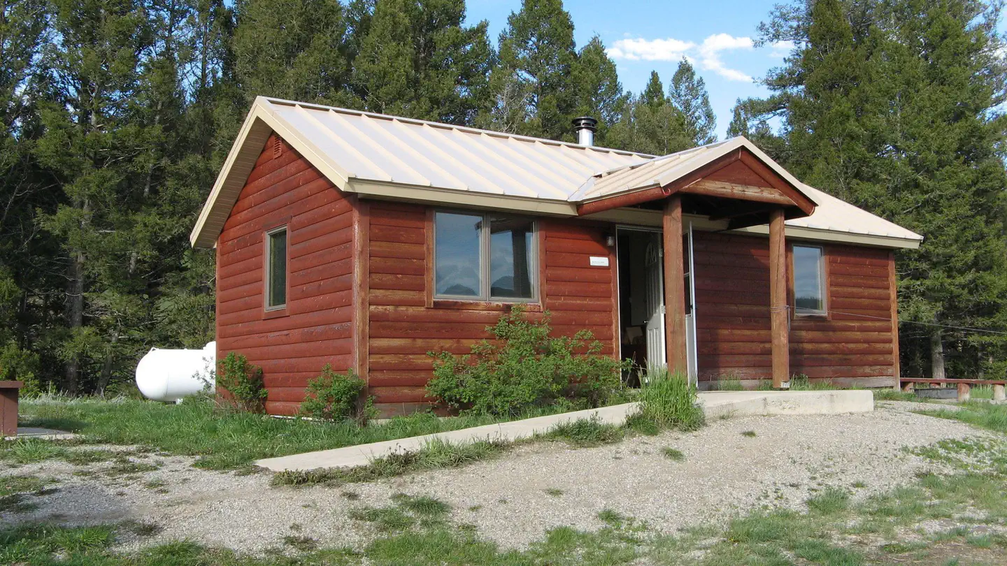
Site mix
| Cabins | 1 |
Site guide
1 site. Tap a filter to narrow the list; the map follows.
| Site | Surface | People / vehicles |
|---|---|---|
| 001 | Gravel | 6 / – |
Per-site records as published by the managing agency on Recreation.gov. Blank cells mean the agency listed nothing for that site. Check-in 2:00 PM, checkout 2:00 PM.
Amenities & rules
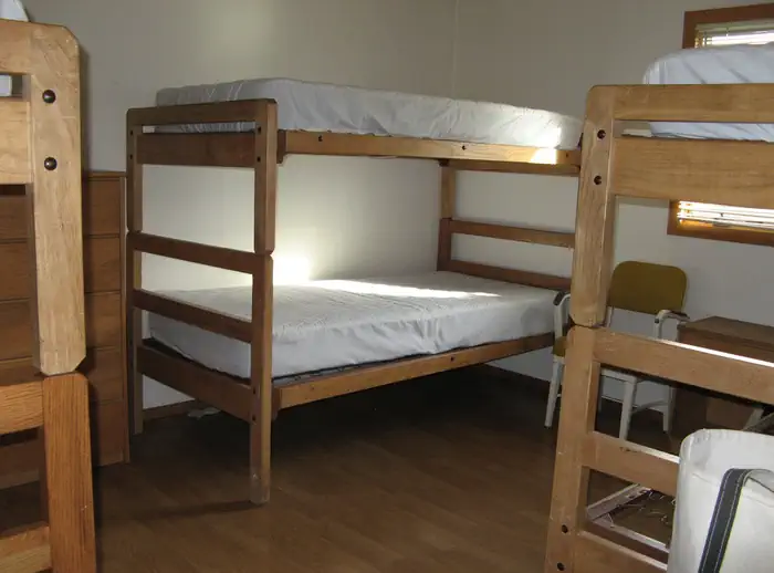
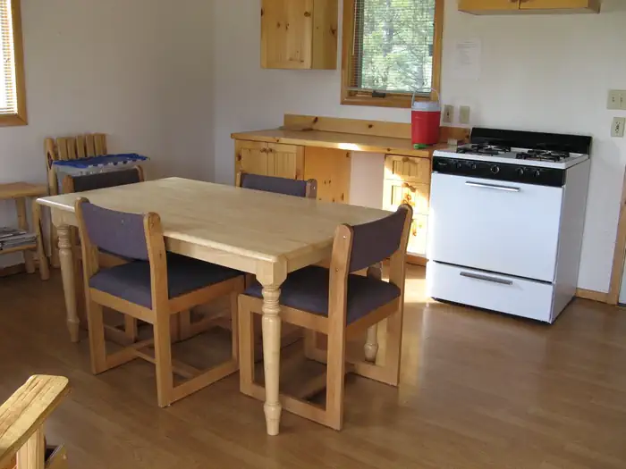
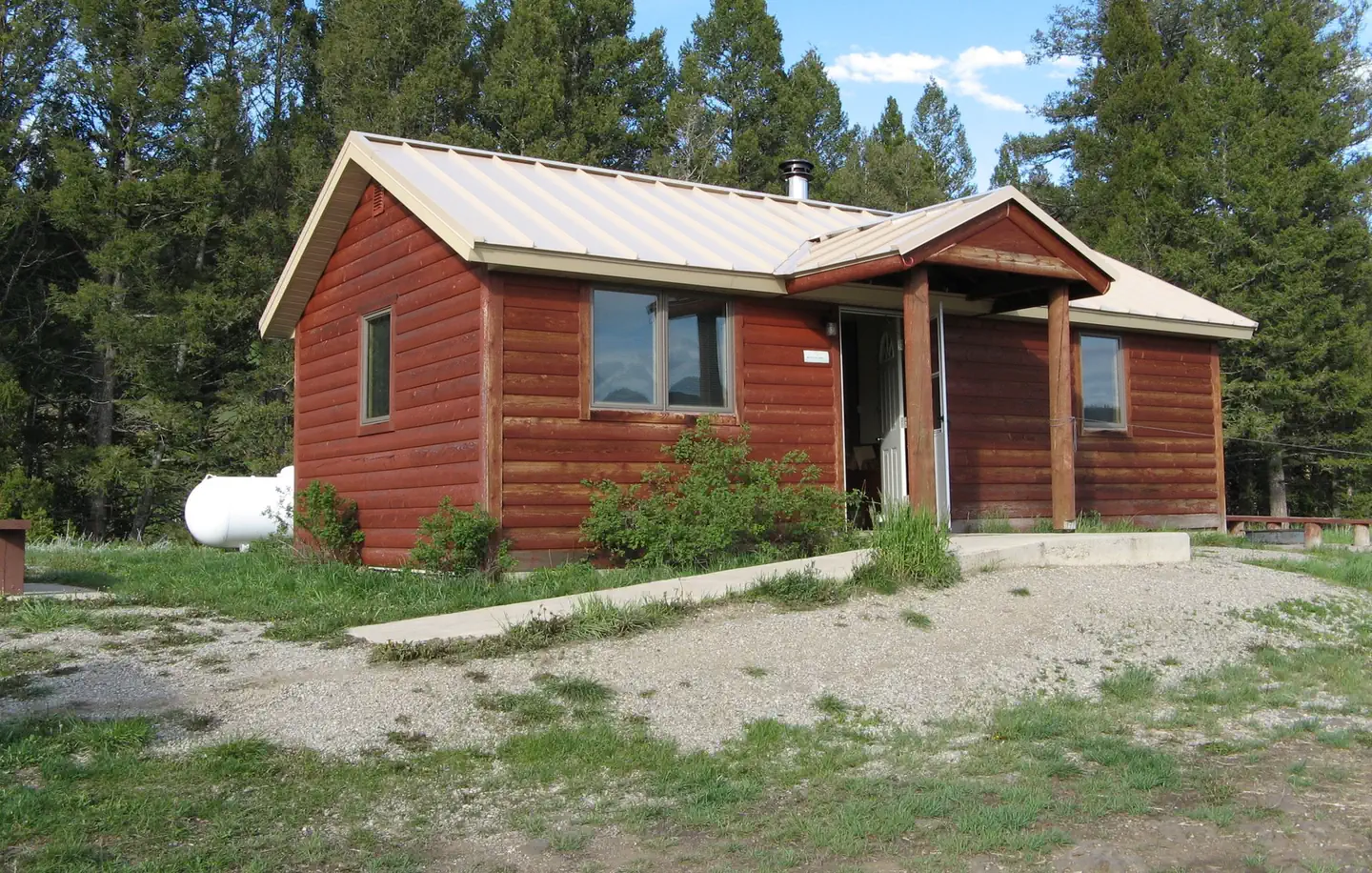
The newer rustic cabin fits six guests and provides propane lights and a propane cooking stove. Both the cabin and the outdoor year-round vault toilet are wheelchair accessible. A wood stove for heating and firewood is included. Do not use the supplied firewood for outside fires. Pots, pans, dishes, and utensils are on hand. Though no electricity is available, the cabin comes with electrical outlets, and guests are allowed to bring a generator to hook up to the cabin. Plug-in for generator is a normal 110 plug-in. Visitors should plan to bring plenty of water for drinking, cooking and cleaning purposes. Other items to bring; food, matches, garbage bags, toilet paper, flashlights, bedding, towels, cleaning supplies and warm clothing. Guest must clean the cabin/toilet completely, pack out all food and trash upon departure. Wood box should be fill upon departure. No pets allowed in cabin.)
Individual sites vary. Confirm on Recreation.gov or with the managing office.
Weather by month
Getting there
From White Sulphur Springs, head east on Highway 12 for 3 miles and turn left (north) on Highway 89. Continue about 15 miles, then head west (left) on Road 119 for 9 miles to the cabin. From Great Falls, head east on Highway 87/89 about 23 miles to the rest area just past Belt. Turn right (south, to White Sulphur Springs) onto Highway 89.
| Nearest town | White Sulphur Spring, Montana |
| Coordinates | 46.8393° N, 110.9738° W · Directions ↗ |
Good to know
- Running water is not included, but the nearby creek provides fresh water.
Fire nearby
- PrescribedKings Hill Cabin Piles Rx
13 mi from the campground · 1 acres
- PrescribedCoyote Divide Piles Rx
13 mi from the campground
- PrescribedMonarch Unit 141 Piles Rx
19 mi from the campground · 2 acres
Distance is to the reported incident point, not the fire edge. Call the managing office before you drive.
Supplies & services
| Outdoor gear | Couger Canyon Lodge ↗ | 19.1 mi |
| Dump station | Dump station ↗ | 34.8 mi |
| RV sales & service | Pierce RV Supercenter ↗ | 46.8 mi |
Locations © OpenStreetMap contributors. Call ahead; hours change seasonally.
Explore
Worth a stop
White Sulphur Springs, 1 hour south, provides the nearest food, fuel, and other conveniences. Smith River and Tenderfoot Falls
- 10 miSouth Pilgrim Trailhead ↗Trailhead
- 11.1 miTaylor Hills Trailhead ↗Trailhead
Trails nearby
- 0.5 miCalf Creek West ↗5.2 mi trail · hiking, horse, bike, motorcycle and 1 more
- 1.7 miCalf Creek East ↗4.7 mi trail · hiking, horse, bike, motorcycle and 1 more
- 1.8 miIsland Park ↗8.6 mi trail · hiking, horse, bike, motorcycle and 1 more
- 2.5 miPole Cr1.9 mi trail · hiking, horse, bike, motorcycle and 1 more
- 3.9 miCrescent Park Connector0.7 mi trail · hiking, horse, bike
- 4.1 miEagle Creek ↗9.5 mi trail · hiking, horse, bike
Trail and trailhead records are the Forest Service's. Distances are straight-line to the nearer trail end. Trail conditions are not tracked here.
Public land it sits in
This campground sits inside Helena-Lewis and Clark National Forest.
- inHelena-Lewis and Clark National Forest ↗National Forest · Forest Service · 3,177,729 acres
Each unit is published as a centre point and an acreage rather than a boundary, so this section stands it in for a circle of the same area. Whether a campground is inside, and how far it is from one it is outside, are both approximate.
Other campgrounds nearby



Cabin and lookout rentals nearby
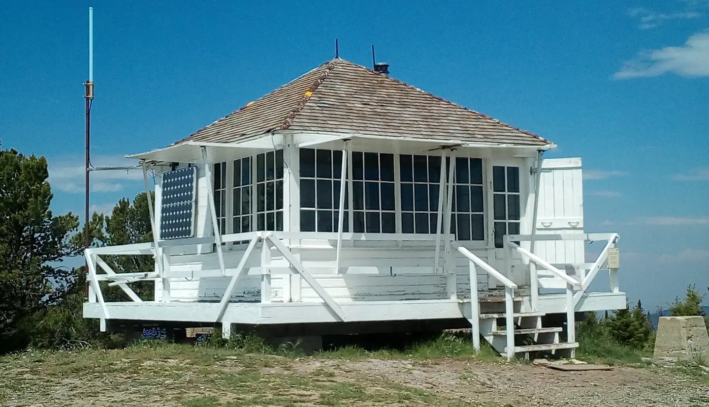
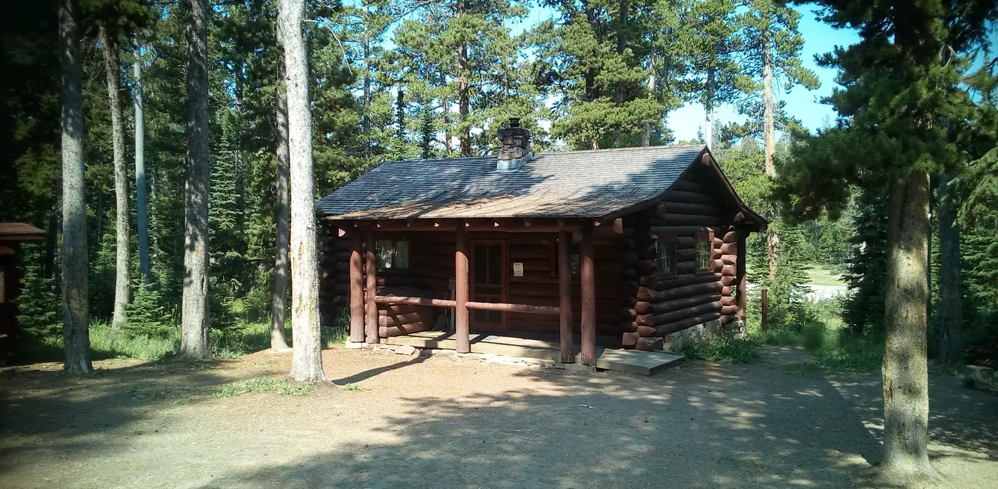
On the National Register nearby
- Neihart SchoolBuilding · Neihart · 13 mi
- Fort Logan and BlockhouseSite · White Sulphur Springs · 14.4 mi
Natural features
The cabin sits along Calf Creek at an elevation of 5,400 feet in the Little Belt Mountains. The region boasts a dense coniferous forest with mixed fir, spruce and pine trees. The Helena-Lewis and Clark National Forest offers many streams and fishing opportunities. Native wildlife includes black bears, mule-deer white-tailed deer, bald eagles, elk, bears and mountian lions.
Recreation
Nearby hunting, fishing and off-road vehicle riding trails are abundant. Horseback riders and hikers horses enjoy the climb north along East Fork Calf Creek to Bubbling Springs in the Tenderfoot Experimental Forest. Calf Creek tempts anglers with mountain whitefish, cutthroat, brook and rainbow trout. Winter recreation includes cross country skiing, snow shoeing and snowmobiling.
Guidebooks for Montana
We earn a small commission if you buy through these links. It does not change what we list.

Titles come from Open Library's catalog, matched by subject heading or by title.
Reference
Questions people ask
Do I need a reservation at Calf Creek Cabin?
Sites at Calf Creek Cabin are reservable on Recreation.gov. Any walk-up sites are listed on the booking page.
Source: Recreation.gov
What time is check-in at Calf Creek Cabin?
Check-in 2:00 PM, checkout 2:00 PM.
Source: Recreation.gov
How many sites does Calf Creek Cabin have?
1 site, including 1 cabin.
Source: Recreation.gov
What is there to do at Calf Creek Cabin?
Nearby hunting, fishing and off-road vehicle riding trails are abundant. The Recreation section on this page has the rest.
Source: Recreation
What is the nearest town to Calf Creek Cabin?
White Sulphur Spring, Montana. White Sulphur Springs, 1 hour south, provides the nearest food, fuel, and other conveniences.
Source: Getting there
What if Calf Creek Cabin is full?
The nearest public campgrounds are Moose Creek Campground - Little Belt Mountains (4.7 mi, first-come), Jumping Creek Campground (10.4 mi, first-come), and Many Pines Campground (14 mi, first-come).
Source: Campgrounds nearby