Up Up Lookout
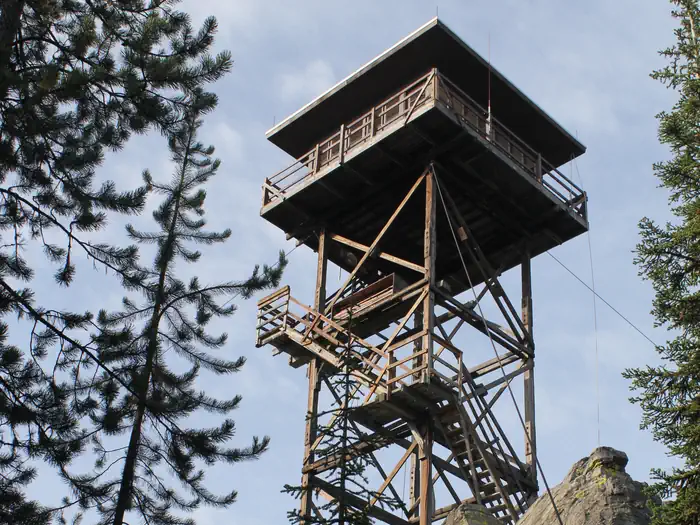
Up Up Lookout is 40 feet tall and perched on a beautiful rock pinnacle in the Bitterroot Mountains of western Montana. It is close to the Idaho border, giving guests a bird's eye view of the entire area. The lookout is a fantastic place by which to view the St. Regis River drainage and the high alpine country. The tower can be accessed by vehicle. Children are discouraged, as the tower has an exterior open stairway. Guests are responsible for their own travel arrangements and safety, and must bring several of their own amenities.
Check availability on Recreation.gov ↗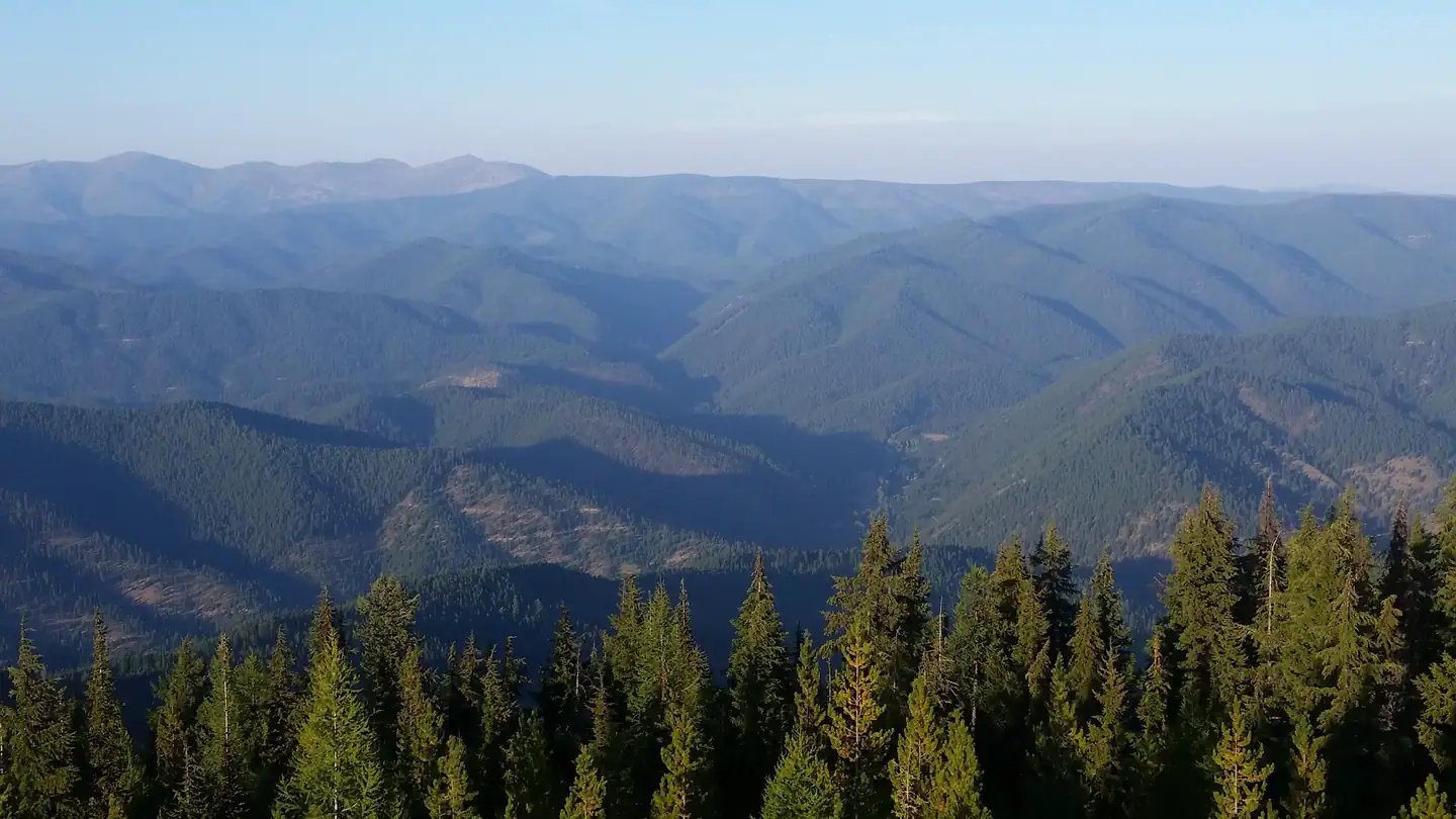

Site mix
| Fire lookouts | 1 |
Site guide
1 site. Tap a filter to narrow the list; the map follows.
| Site | Surface | Shade | Water / sewer | People / vehicles | Fires | Rating |
|---|---|---|---|---|---|---|
| 001 | Gravel | Partial | No / No | 4 / 2 | Yes | Standard |
Per-site records as published by the managing agency on Recreation.gov. Blank cells mean the agency listed nothing for that site. Check-in 2:00 PM, checkout 11:00 AM.
Amenities & rules
| Hookups | None |
| Equipment | RVs & trailers, Tents |
| Campfires | Allowed, subject to restrictions |
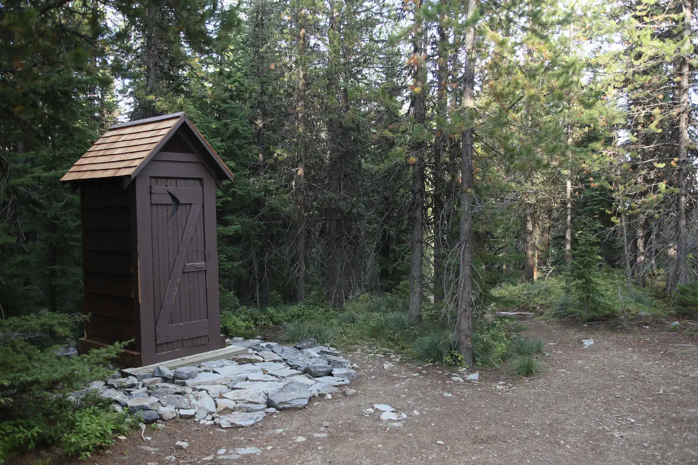
The lookout can sleep up to four people and is equipped with one twin bed and mattress pad. It is recommened to bring additional cots to sleep on. It has propane lights and a heater. There are no cooking facilities or refrigeration. A campfire ring with a grill and a picnic table are provided at the base of the tower, along with an outhouse with a pit toilet. Guests will need to bring water for drinking, cooking and cleaning purposes, as well as cooking equipment and fuel. Cots, bedding, towels, soap, cooking and eating utensils, matches, toilet paper and garbage bags are not provided. Guests will need to clean the facility prior to leaving.
Individual sites vary. Confirm on Recreation.gov or with the managing office.
Weather by month
Getting there
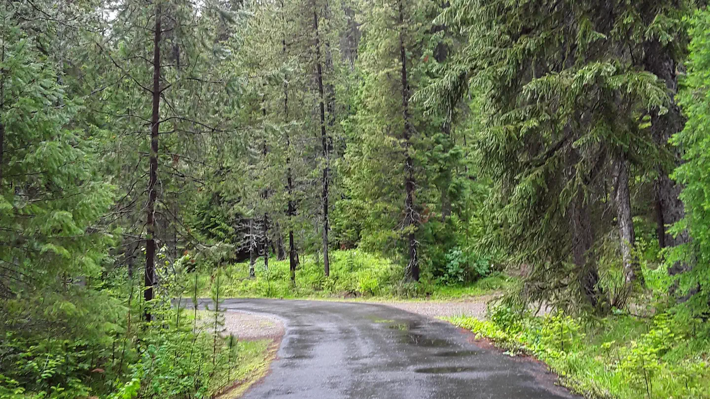
Do not follow your GPS. Please use the following directions. West bound on I-90 take the Drexel Exit #25. From Drexel turn back east on I-90 to Ward Creek Exit #26. East bound on I-90 take the Ward Cr Exit #26. Proceed up the Ward Creek Rd #889, travel 3.2 miles. Turn right onto Road #3816 and travel 12.1 miles to the locked gate.
| Nearest town | Superior, Montana |
| Coordinates | 47.3322° N, 115.3433° W · Directions ↗ |
Fire nearby
- WildfireNugget Hill
13 mi from the campground · 35 acres
- PrescribedD4 Rx Hwy 50 Roadside Salvage
15 mi from the campground
- PrescribedD4 Rx Simmons Peak
18 mi from the campground
- PrescribedRx D7 Lost Creek 155/559
19 mi from the campground · 17 acres
Distance is to the reported incident point, not the fire edge. Call the managing office before you drive.
Supplies & services
| Dump station | Dump station ↗ | 21.5 mi |
Locations © OpenStreetMap contributors. Call ahead; hours change seasonally.
Explore
Trails nearby
- 1.1 miUp-Up / Deer Creek ↗22.1 mi trail · snowmobile, snowshoe, ski
- 1.1 miUp Up Creek3.2 mi trail · hiking, horse, bike
- 3.1 miUp Up Ridge ↗14.3 mi trail · hiking, horse, bike, motorcycle and 1 more
- 3.2 miCrystal Lake3.9 mi trail · hiking, horse, bike
- 3.2 miWard Creek3.2 mi trail · hiking, horse, bike
- 3.8 miDeborgia / Twelvemile Creek ↗8.6 mi trail · snowmobile, snowshoe, ski
Trail and trailhead records are the Forest Service's. Distances are straight-line to the nearer trail end. Trail conditions are not tracked here.
Other campgrounds nearby

Cabin and lookout rentals nearby
On the National Register nearby
- DeBorgia SchoolhouseBuilding · DeBorgia · 3.3 mi
- St. Regis Airway BeaconStructure · St. Regis · 14.1 mi
Natural features
The wooden tower was built in the 1930s and used as a fire lookout for several years. It is situated between the main highway and the Idaho border, at an elevation of 5,900 feet. With the growing use of aircraft for fire detection, fewer lookouts have been staffed in recent years and many are converted to cabin rentals available to the public. The Lolo National Forest is home to many species of wildlife, from mule deer, whitetail deer, elk, bighorn sheep, mountain goats, black bear, mountain lions and moose, to many varieties of smaller animals and birds. Wildlife viewing areas offer guests ample opportunity to view animals in their natural habitat.
Recreation
The Up Up Ridge Trail takes visitors into the spectacular Ward and Eagle peaks roadless area, where visitors will find several scenic alpine lakes and various points of exploration. The trail leads to other trails, which take hikers and mountain bikers to the 7,300-foot Eagle Peak, providing ample views of the surrounding area. Big game hunters often camp along the ridge. It is also a great place to see vibrantly colored fall leaves, beautiful waterfalls, wildlife, do some berry picking and even fishing. The area holds many scenic and recreational attractions. The trail leads all the way to the Idaho state line, near Ward Peak.
Guidebooks for Montana
We earn a small commission if you buy through these links. It does not change what we list.

Titles come from Open Library's catalog, matched by subject heading or by title.
Reference
Questions people ask
Do I need a reservation at Up Up Lookout?
Sites at Up Up Lookout are reservable on Recreation.gov. Any walk-up sites are listed on the booking page.
Source: Recreation.gov
What time is check-in at Up Up Lookout?
Check-in 2:00 PM, checkout 11:00 AM.
Source: Recreation.gov
How many sites does Up Up Lookout have?
1 site, including 1 lookout.
Source: Recreation.gov
Can I bring an RV to Up Up Lookout?
Up Up Lookout is listed for tents only.
Source: Recreation.gov
Can I have a campfire at Up Up Lookout?
Fires are allowed in the provided rings under normal conditions. As of 2026-10-16, there are 4 active fires within 50 miles, so check current restrictions before you light one.
Source: Fire nearby
What is there to do at Up Up Lookout?
The Up Up Ridge Trail takes visitors into the spectacular Ward and Eagle peaks roadless area, where visitors will find several scenic alpine lakes and various points of exploration. The Recreation section on this page has the rest.
Source: Recreation
What is the nearest town to Up Up Lookout?
Superior, Montana.
Source: Getting there
What if Up Up Lookout is full?
The nearest public campgrounds are Cabin City Campground (4.8 mi, partly first-come), Little Joe Campground (10.5 mi, first-come), and Conrad Crossing Campground (12.5 mi, first-come).
Source: Campgrounds nearby