Shorty Peak Lookout
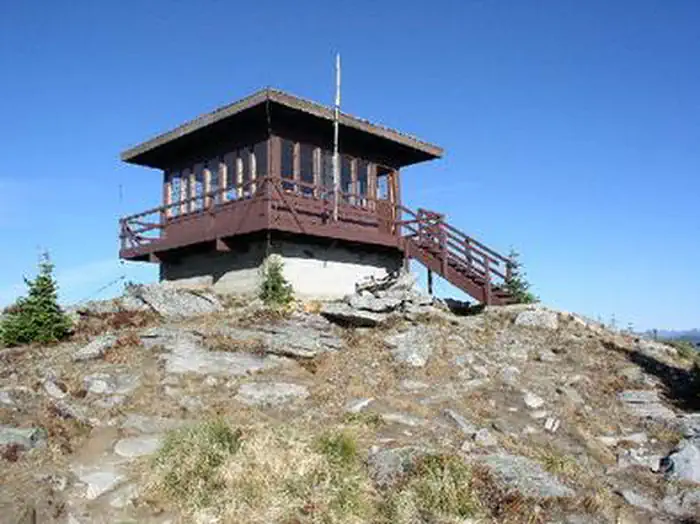
Shorty Peak Lookout, 45 miles northwest of Bonners Ferry, sits atop Shorty Peak with views of the Selkirk and Purcell mountain ranges of Northern Idaho, Montana, and British Columbia. The rustic dwelling was once used to patrol forest fires, and is now a unique way for overnight guests to escape the city and become enthralled with 360 degree views of area's magnificence. Access requires a moderate to steep 2.5 mile hike with a 1,300 foot elevation gain. The lookout was refurbished in 2005 and is in excellent condition.
Check availability on Recreation.gov ↗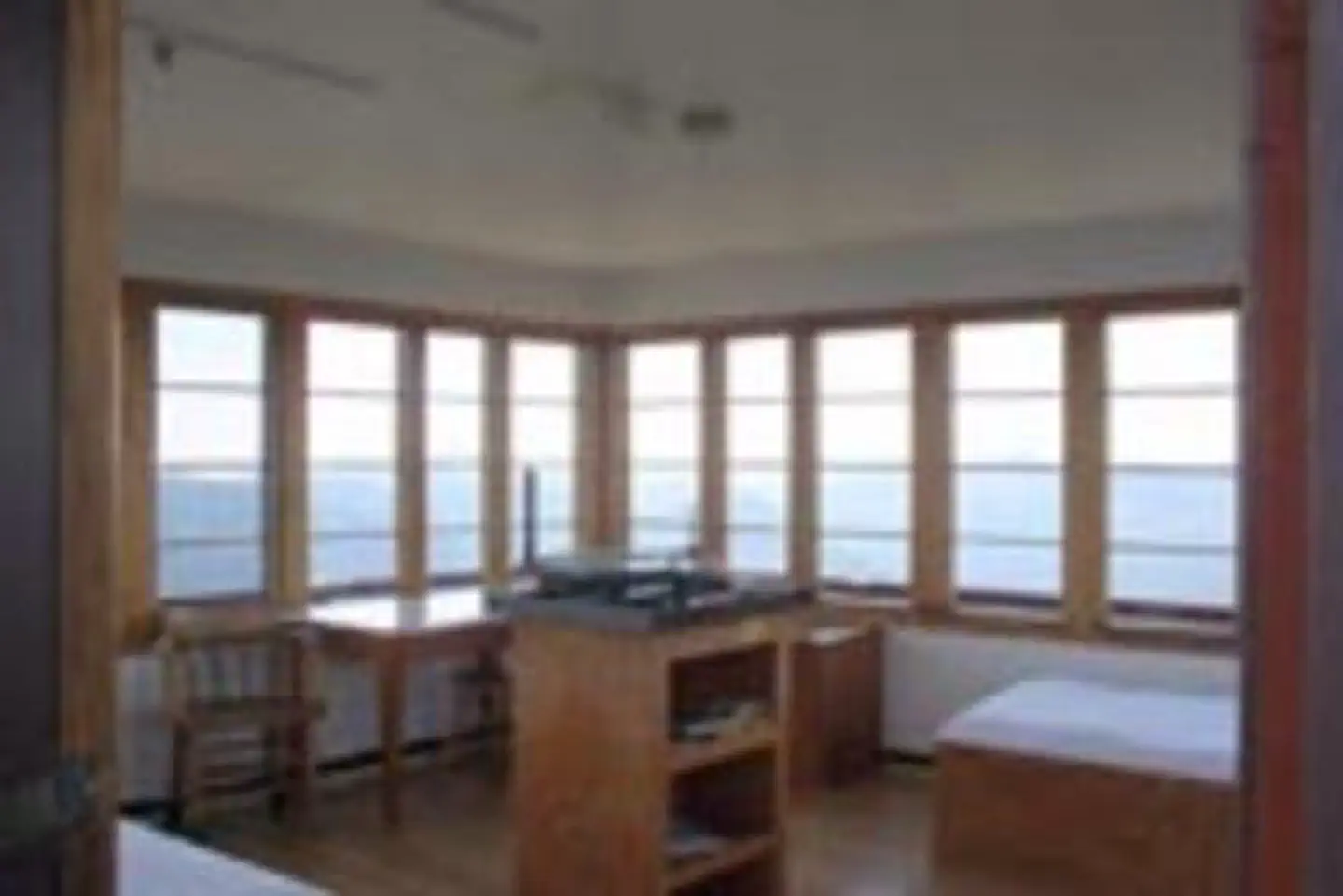
Site mix
| Cabins | 1 |
Site guide
1 site. Tap a filter to narrow the list; the map follows.
| Site | Surface | People / vehicles |
|---|---|---|
| 001 | Gravel | 4 / – |
Per-site records as published by the managing agency on Recreation.gov. Blank cells mean the agency listed nothing for that site. Check-in 1:00 PM, checkout 11:00 AM.
Amenities & rules
The 15' X 15' cabin sits atop a 5 foot foundation and can accommodate two overnight guests. The look of the interior is modern with hardwood floors. Two twin beds with pads, two chairs, two tables, a historic fire finder, and a district map are included inside the cabin. A pit toilet is within 100 yards of the lookout. No drinking water or electricity is available. Guests are asked to bring plenty of water, food, bedding, a first aid kit and all other basic camp gear. Horses are allowed, but no corrals or hitching racks are available. Hobbles are recommended for horses.
Individual sites vary. Confirm on Recreation.gov or with the managing office.
Weather by month
Getting there
From the Bonners Ferry Ranger Station: Take Highway 95 north for 17 miles. Turn left onto Highway 1 and head north for 2 miles. Turn left onto Copeland Road and head west for 4 miles. Stay right at the T junction and continue north on Westside Road for 9 miles.
| Nearest town | Bonners Ferry, Idaho |
| Coordinates | 48.9403° N, 116.6883° W · Directions ↗ |
Fire nearby
- WildfireUpper Smith
4 mi from the campground · 4,848 acres · 41% contained
- WildfireParker Lake
6 mi from the campground · 1,531 acres · 1% contained
- WildfireSilver
22 mi from the campground · 2,593 acres · 30% contained
- PrescribedSl Rx - Ione
38 mi from the campground
Distance is to the reported incident point, not the fire edge. Call the managing office before you drive.
Supplies & services
| Dump station | RV Sani-Dump ↗ | 13.3 mi |
| RV sales & service | Kootenay RV ↗ | 14.5 mi |
| Outdoor gear | North 40 ↗ | 44 mi |
Locations © OpenStreetMap contributors. Call ahead; hours change seasonally.
Explore
Trails nearby
- under 0.1 miItalian Ridge2.6 mi trail · hiking, horse, bike
- 0.2 miShorty Spring0.3 mi trail · hiking, horse, bike
- 1.8 miRed Top ↗7.5 mi trail · hiking, horse, bike
- 3.7 miSmith Creek-Ridge0.8 mi trail · hiking, horse, bike
- 4.3 miSmith Ridge ↗6 mi trail · hiking, horse, bike
- 4.6 miSmith Creek-Red Top3.5 mi trail · hiking, horse, bike, snowmobile
Trail and trailhead records are the Forest Service's. Distances are straight-line to the nearer trail end. Trail conditions are not tracked here.
Other campgrounds nearby

Cabin and lookout rentals nearby
On the National Register nearby
- U.S. Inspection Station–Porthill, IdahoBuilding · Porthill · 9.5 mi
Natural features
Shorty Peak lookout is located in the Lower Kootenai River Area (Bonners Ferry District) of the Idaho Panhandle National Forest. The land is bordered by the Purcell and Cabinet Ranges and the Montana Line on the east, the rugged Selkirk Range on the west, and the Canadian border to the north. The 360-degree unobstructed vista from Shorty Peak Lookout is exceptional, with views of Kootenai Valley, U.S. and Canadian Selkirks, Smith Creek and Cow Creek drainage areas, Red Top Mountain, and the higher Lone Tree Peak a mile to the west. Elk, deer and black bears are among the wildlife in the area. This is bear country, both grizzly and black. The Forest Service recommends that you be able to distinguish between them. Please be aware of and practice bear safety while camping in this area.
Recreation
The 2.5 mile hike up to Shorty Peak is part of the fun of staying at the cabin. The trail is also open to horseback riding. While here, landscape photography and wildlife viewing are popular pastimes. Birding is particularly popular and guests may have the chance to look down on some birds of prey. Look for red-tailed hawks, golden eagles, and goshawks soaring over the valleys. Clear nights offer prime stargazing opportunities.
Nearby
The nearest location for a convenience store is the Canadian border. A more cost effective location for groceries and gear is in Bonners Ferry, about 50 miles from the lookout.
Guidebooks for Idaho
We earn a small commission if you buy through these links. It does not change what we list.

Titles come from Open Library's catalog, matched by subject heading or by title.
Reference
Questions people ask
Do I need a reservation at Shorty Peak Lookout?
Sites at Shorty Peak Lookout are reservable on Recreation.gov. Any walk-up sites are listed on the booking page.
Source: Recreation.gov
What time is check-in at Shorty Peak Lookout?
Check-in 1:00 PM, checkout 11:00 AM.
Source: Recreation.gov
How many sites does Shorty Peak Lookout have?
1 site, including 1 cabin.
Source: Recreation.gov
What is there to do at Shorty Peak Lookout?
The 2.5 mile hike up to Shorty Peak is part of the fun of staying at the cabin. The Recreation section on this page has the rest.
Source: Recreation
What is the nearest town to Shorty Peak Lookout?
Bonners Ferry, Idaho. The nearest location for a convenience store is the Canadian border.
Source: Getting there
What if Shorty Peak Lookout is full?
The nearest public campgrounds are Trapper Creek Campground (13.5 mi, first-come), Geisinger Campground (14.2 mi, first-come), and Navigation Campground (14.2 mi, first-come).
Source: Campgrounds nearby