Fox Creek Cabin
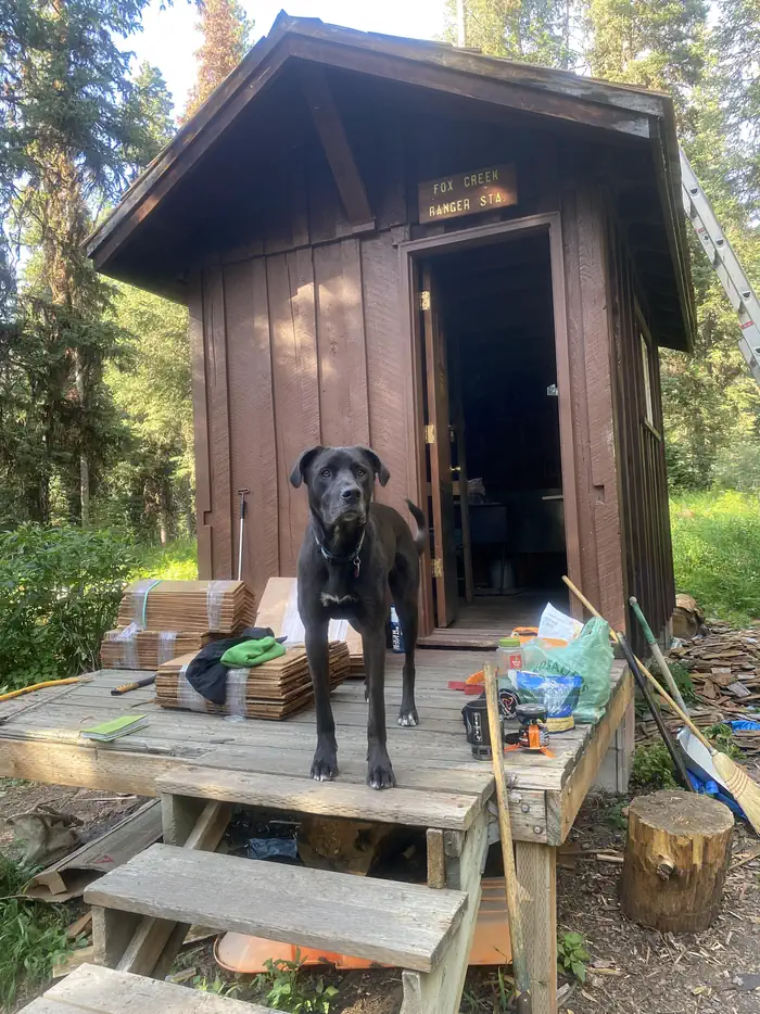
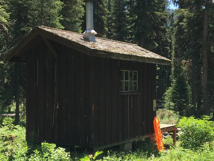
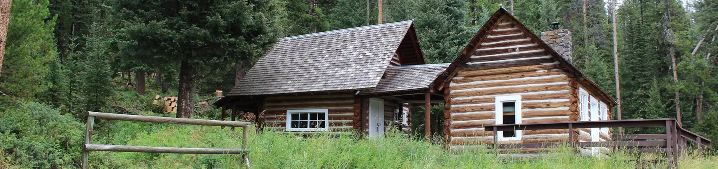
Fox Creek Cabin is a former ranger station located in a remote area. It is very small and offers only basic amenities. Guests will need to bring most of the gear and supplies they need to have a comfortable and enjoyable stay. The cabin is located in a non-motorized area and can only be accessed by a 2.5-mile hike during the summer months, from the end of Langohr Road. A four-wheel drive vehicle is recommended for driving on Langohr Road. Winter access to the cabin requires hiking, skiing or snowshoeing about six miles from the South Cottonwood Trailhead.
Check availability on Recreation.gov ↗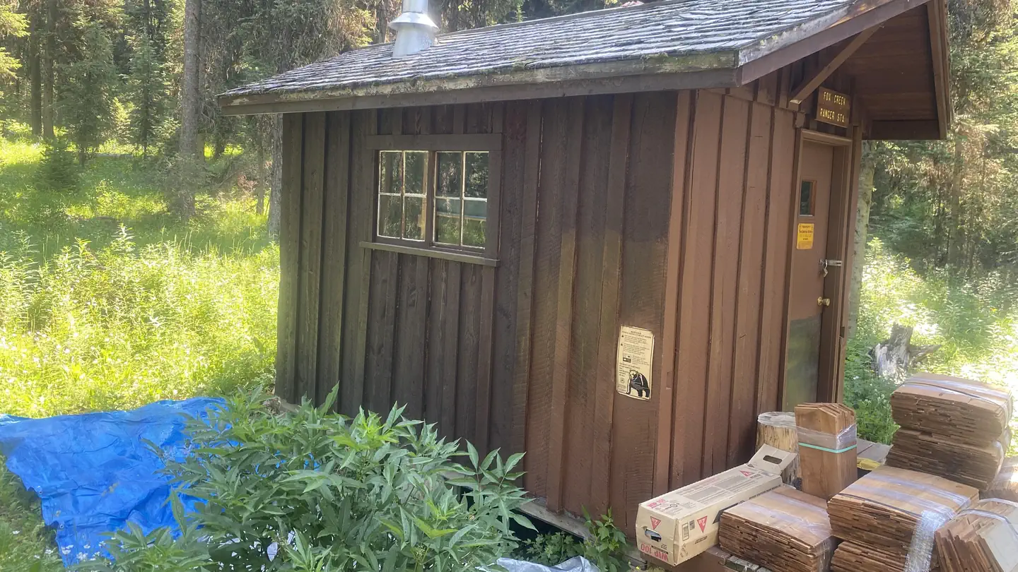
Site mix
| Cabins | 1 |
Site guide
1 site. Tap a filter to narrow the list; the map follows.
| Site | People / vehicles |
|---|---|
| 001 | 15 / – |
Per-site records as published by the managing agency on Recreation.gov. Blank cells mean the agency listed nothing for that site. Check-in 2:00 PM, checkout 12:00 PM.
Amenities & rules
The cabin has bunk beds with mattresses to accommodate up to two people. A small wood stove can be used for heating and cooking. A table with chairs, basic cookware, dishes, utensils and cleaning equipment are provided. An outhouse is equipped with a vault toilet. Electricity and water are not provided. Guests must bring their own water supply and flashlights or lanterns. Guests should also bring their own bedding, dish soap, toilet paper, garbage bags and other supplies. The cabin will need to be cleaned and all trash carried out prior to departure.
Individual sites vary. Confirm on Recreation.gov or with the managing office.
Weather by month
Getting there
There is no motorized access to this cabin. There are two travel options to Fox Creek Cabin. 1. South Cottonwood Trailhead. From Bozeman, MT: Drive south on S. Cottonwood Road for about 7 1/2 miles. Turn left onto Cottonwood Canyon Road and drive about 2.1 miles to the end of the road and the South Cottonwood Trailhead.
| Nearest town | Bozeman, Montana |
| Coordinates | 45.4800° N, 111.0442° W · Directions ↗ |
Fire nearby
- PrescribedShenango Pile Rx
10 mi from the campground
- PrescribedNorth Bridger Brackett Creek Pile Burning Rx
26 mi from the campground
- PrescribedRx Hell'S Canyon
42 mi from the campground
Distance is to the reported incident point, not the fire edge. Call the managing office before you drive.
Supplies & services
| Outdoor gear | Rite Bobbin ↗ | 13.4 mi |
| RV sales & service | Valley Trailer Sales Inc ↗ | 19.8 mi |
Locations © OpenStreetMap contributors. Call ahead; hours change seasonally.
Explore
Worth a stop
- 3.1 miBlackmore Picnic Area ↗Day use
- 3.1 mi
- 5.2 miPalisade Falls Trailhead ↗Trailhead
Trails nearby
- 0.1 miHistory Rock ↗5.1 mi trail · hiking, horse, bike
- 1.3 miWheeler Gulch ↗6.1 mi trail · hiking, horse, bike
- 1.7 miUpper Little Bear1.2 mi trail · hiking, horse, bike, motorcycle and 2 more
- 1.9 miMoose Jaw2.9 mi trail · hiking, horse, bike, motorcycle and 2 more
- 2.1 miStorm Castle Ridge ↗6.2 mi trail · hiking, horse, bike
- 2.3 miBig Bear1.2 mi trail · hiking, horse, bike, motorcycle and 2 more
Trail and trailhead records are the Forest Service's. Distances are straight-line to the nearer trail end. Trail conditions are not tracked here.
Public land it sits in
Custer Gallatin National Forest begins about 11.6 miles away, and it is the closest of these.
- 11.6 miCuster Gallatin National Forest ↗National Forest · Forest Service · 3,412,203 acres
Each unit is published as a centre point and an acreage rather than a boundary, so this section stands it in for a circle of the same area. Whether a campground is inside, and how far it is from one it is outside, are both approximate.
Other campgrounds nearby

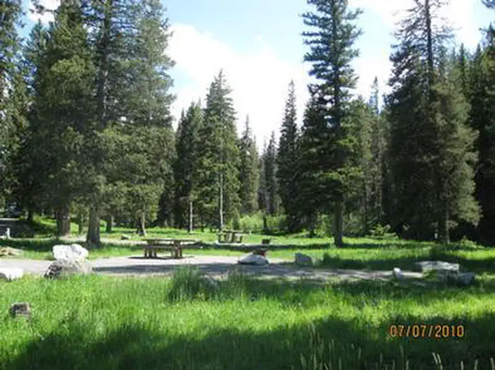
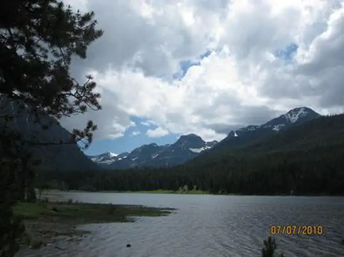
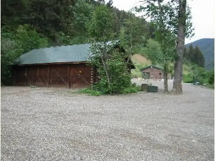
Cabin and lookout rentals nearby
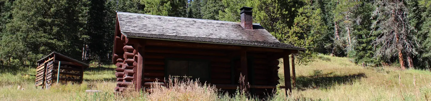
On the National Register nearby
- Little Bear SchoolBuilding · Gallatin Gateway · 7.5 mi
- Anderson SchoolBuilding · Gallatin Gateway · 8.7 mi
- Cottonwood SchoolBuilding · Gallatin Gateway · 11.3 mi
Natural features
The cabin sits at an elevation of approximately 6,700 feet, next to South Cottonwood Creek in the midst of the Gallatin Mountain Range. It is situated in a small clearing surrounded by thick evergreen forest, so it is well hidden from the trails used to reach the cabin. The access trails offer scenic views of wildflower meadows and 10,154-foot Mount Blackmore. Wildlife in this area includes grizzly and black bears, gray wolves, mountain lions, deer, elk, moose, bighorn sheep and Canada lynx. Birders may see a wide variety of bird species.
Recreation
The South Cottonwood and History Rock Trails are used to access the cabin and are available for hiking, mountain biking, snowshoeing and cross-country skiing, depending on the conditions. Both trails connect to the Mount Blackmore Loop Trail, which offers views of the Hyalite Canyon at the summit of Mount Blackmore before descending to Blackmore Lake. Fishing is possible in the area, as well as hunting in the fall.
Guidebooks for Montana
We earn a small commission if you buy through these links. It does not change what we list.

Titles come from Open Library's catalog, matched by subject heading or by title.
Reference
Questions people ask
Do I need a reservation at Fox Creek Cabin?
Sites at Fox Creek Cabin are reservable on Recreation.gov. Any walk-up sites are listed on the booking page.
Source: Recreation.gov
What time is check-in at Fox Creek Cabin?
Check-in 2:00 PM, checkout 12:00 PM.
Source: Recreation.gov
How many sites does Fox Creek Cabin have?
1 site, including 1 cabin.
Source: Recreation.gov
What is there to do at Fox Creek Cabin?
The South Cottonwood and History Rock Trails are used to access the cabin and are available for hiking, mountain biking, snowshoeing and cross-country skiing, depending on the conditions. The Recreation section on this page has the rest.
Source: Recreation
What is the nearest town to Fox Creek Cabin?
Bozeman, Montana.
Source: Getting there
What if Fox Creek Cabin is full?
The nearest public campgrounds are Hood Creek Campground (3.7 mi), Langohr Campground (4 mi), and Chisholm Campground (4.3 mi).
Source: Campgrounds nearby