Meyers Creek Cabin
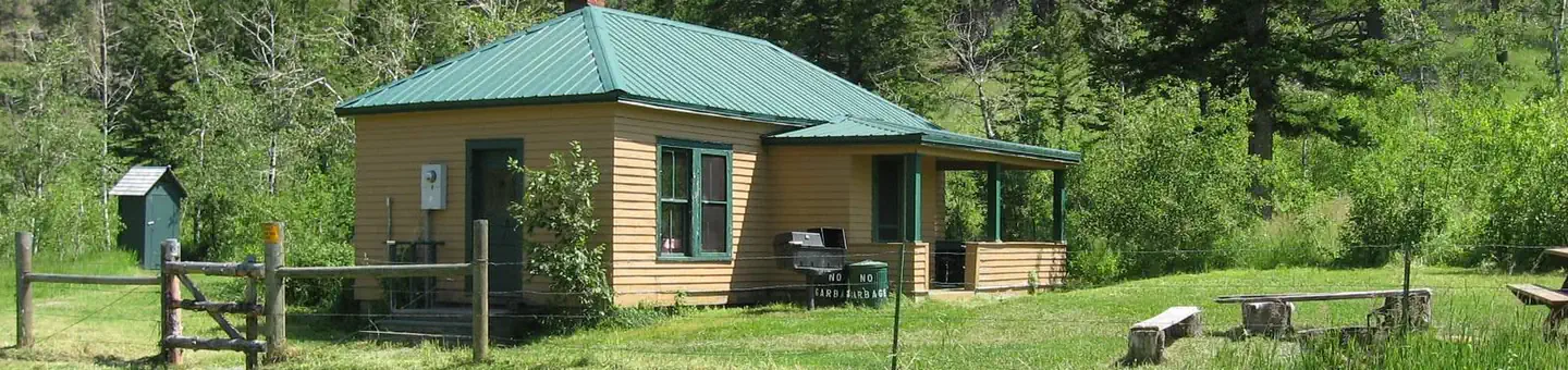
Meyers Creek Cabin is located within the Meyers Creek Work Center in Custer National Forest at an altitude of 5,646 feet. The cabin offers opportunities to enjoy relaxation and recreation in beautiful surroundings. It is reservable from May through November. The cabin is accessible by vehicle. 4-wheel drive is recommended during wet weather.
Check availability on Recreation.gov ↗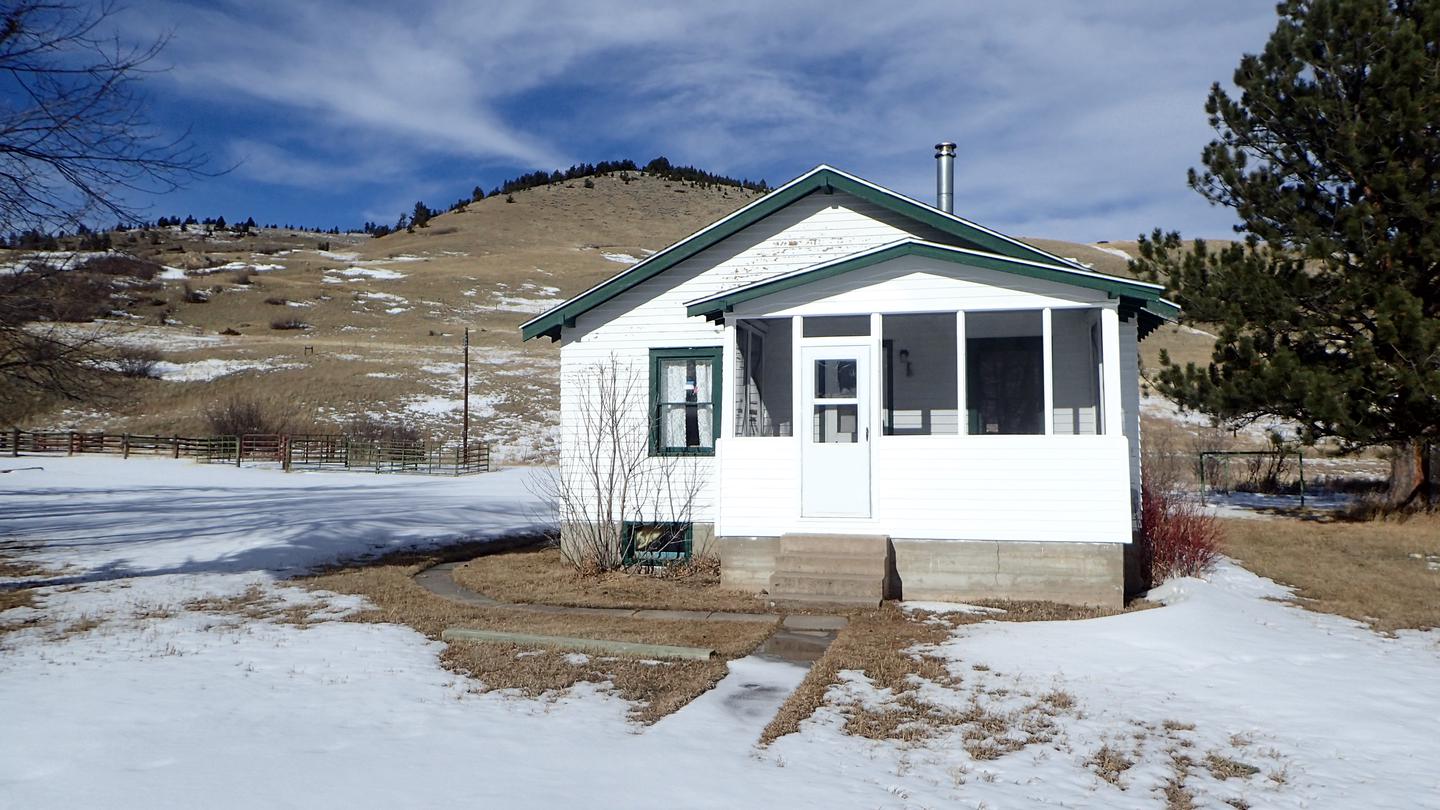

Site mix
| Cabins with electric | 1 |
Site guide
1 site. Tap a filter to narrow the list; the map follows.
| Site | Surface | People / vehicles |
|---|---|---|
| 001 | Gravel | 6 / – |
Per-site records as published by the managing agency on Recreation.gov. Blank cells mean the agency listed nothing for that site. Check-in 2:00 PM, checkout 12:00 PM.
Amenities & rules
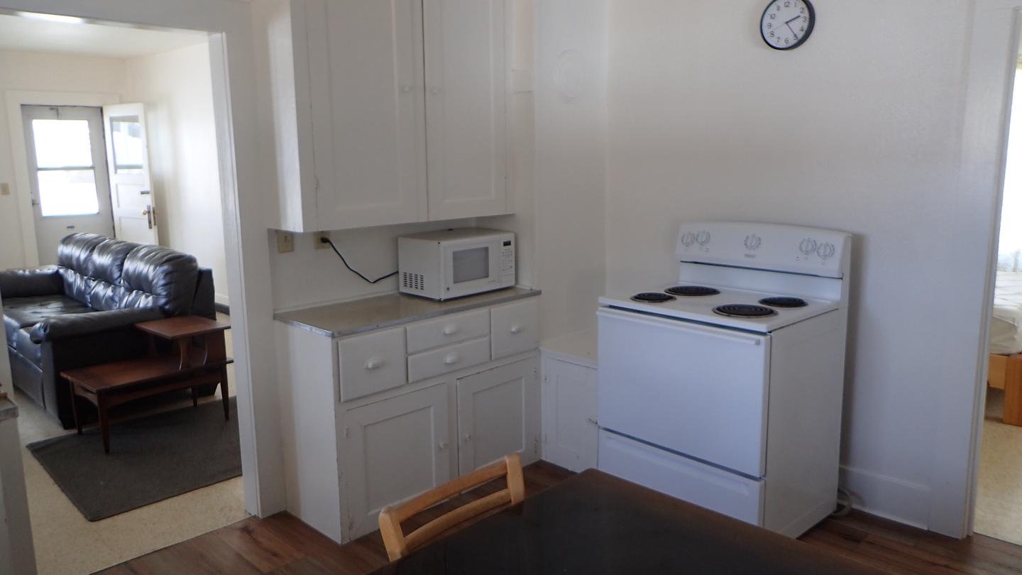
This cabin sleeps 6 people and comes equipped with 3 single mattresses and one double, an electric refrigerator, cook stove, heat, indoor toilet and shower, cookware, dishes and utensils. A campfire ring and picnic table are located outside. There is one corral, a watering tank and hitching rails for horses. Potable water is available, but guests may wish to bring a water filter or provide their own water if they are concerned about quality or taste. Items such as bedding, towels, washcloths and dish soap are not provided.
Individual sites vary. Confirm on Recreation.gov or with the managing office.
Weather by month
Getting there
From the north, take State Highway 78 through Absarokee, Montana, to junction with State Highway 419 3 miles south of Absarokee. Turn right (west) and follow State Highway 419 for 21 miles to Nye. Turn right (north), following the directional sign for 1 mile. Turn left (west) at "Y" intersection and travel approximately 5 miles.
| Nearest town | Nye, Montana |
| Coordinates | 45.4914° N, 109.9573° W · Directions ↗ |
Supplies & services
| Outdoor gear | Jumping Off Point ↗ | 31.4 mi |
| RV sales & service | Laurel Trading Post ↗ | 59.4 mi |
Locations © OpenStreetMap contributors. Call ahead; hours change seasonally.
Explore
Worth a stop
The Stillwater River Trailhead, with access to the Absaroka/Beartooth Wilderness, is 16 miles south of the cabin.
- 7.8 mi
- 12 mi
Trails nearby
- 0.7 miPass Creek3.5 mi trail · hiking, horse, bike
- 2 miMeyers Creek ↗5.4 mi trail · hiking, horse, bike, motorcycle and 1 more
- 2.2 miDead Indian ↗5.2 mi trail · hiking, horse, bike
- 2.2 miLodgepole ↗10.7 mi trail · hiking, horse, bike, motorcycle and 1 more
- 2.3 miTelegraph Creek1.5 mi trail · hiking, horse, bike
- 2.4 miBoone Peak ↗14 mi trail · hiking, horse, bike, motorcycle and 1 more
Trail and trailhead records are the Forest Service's. Distances are straight-line to the nearer trail end. Trail conditions are not tracked here.
Public land it sits in
This campground sits inside Absaroka-Beartooth Wilderness, which overlaps Custer Gallatin National Forest.
- inAbsaroka-Beartooth Wilderness ↗Wilderness · Forest Service · 937,102 acres
- inCuster Gallatin National Forest ↗National Forest · Forest Service · 3,412,203 acres
Each unit is published as a centre point and an acreage rather than a boundary, so this section stands it in for a circle of the same area. Whether a campground is inside, and how far it is from one it is outside, are both approximate.
Other campgrounds nearby



Cabin and lookout rentals nearby

On the National Register nearby
- Dean SchoolBuilding · Dean · 14.3 mi
Natural features
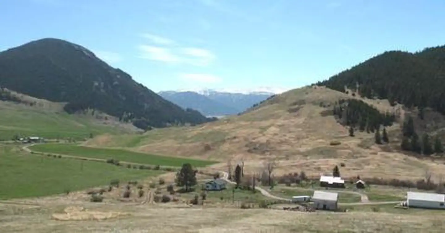
The cabin is situated in the western end of the Beartooth Mountains and surrounded by pastures, which are used for grazing cattle. Roses, irises, rhubarb and lilacs grow around the dwelling. The surrounding slopes are covered in pine, aspen and sagebrush, with wildflowers blooming in the summer. This area supports a large bear population ( bear safety ). Bighorn sheep, elk, deer and a variety of bird species also inhabit the mountainous terrain in the Beartooth Ranger District.
Recreation
Trails crisscross the area, including the Meyers Creek and Lodgepole Creek Trails. This area offers recreation for hikers, mountain bikers and equestrians. Horse facilities are available at the cabin. Anglers can fish for rainbow and brown trout in nearby creeks.
Guidebooks for Montana
We earn a small commission if you buy through these links. It does not change what we list.

Titles come from Open Library's catalog, matched by subject heading or by title.
Reference
Questions people ask
Do I need a reservation at Meyers Creek Cabin?
Sites at Meyers Creek Cabin are reservable on Recreation.gov. Any walk-up sites are listed on the booking page.
Source: Recreation.gov
What time is check-in at Meyers Creek Cabin?
Check-in 2:00 PM, checkout 12:00 PM.
Source: Recreation.gov
How many sites does Meyers Creek Cabin have?
1 site, including 1 cabin with power.
Source: Recreation.gov
Are there showers or a dump station at Meyers Creek Cabin?
This cabin sleeps 6 people and comes equipped with 3 single mattresses and one double, an electric refrigerator, cook stove, heat, indoor toilet and shower, cookware, dishes and utensils.
Source: Recreation.gov
What is there to do at Meyers Creek Cabin?
Trails crisscross the area, including the Meyers Creek and Lodgepole Creek Trails. The Recreation section on this page has the rest.
Source: Recreation
What is the nearest town to Meyers Creek Cabin?
Nye, Montana. The Stillwater River Trailhead, with access to the Absaroka/Beartooth Wilderness, is 16 miles south of the cabin.
Source: Getting there
What if Meyers Creek Cabin is full?
The nearest public campgrounds are Initial Creek Campground (6.1 mi, first-come), Woodbine Campground (10.1 mi), and Emerald Lake Campground (20.6 mi, first-come).
Source: Campgrounds nearby