Eagle Creek Overlook Grp Site
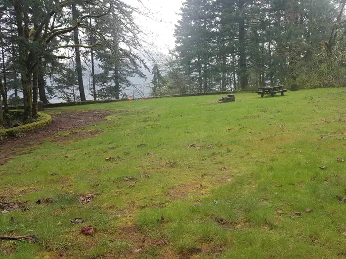
Eagle Creek Overlook Group Site is set on a forested bluff above the Columbia River, providing an ideal setting for family gatherings and group events. Developed by the Civilian Conservation Corps (CCC) in the 1930s as a place to view construction of the Bonneville Dam, this site features CCC masonry and offers expansive views of the Columbia River and mountains rising from the gorge.
More like this: reservable in Oregon · pets allowed in Oregon · group sites in Oregon
Check availability on Recreation.gov ↗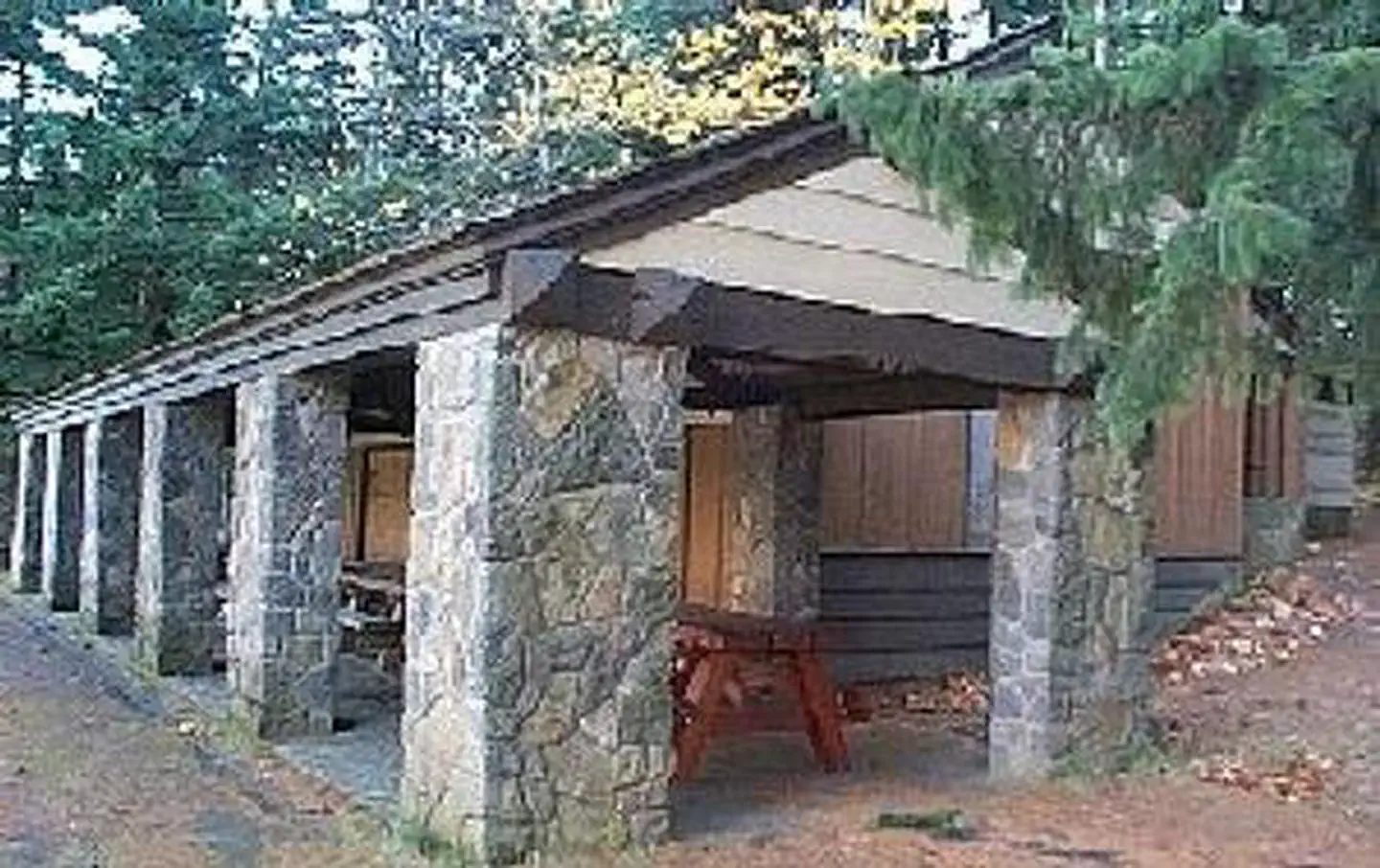
Site mix
| group standard area nonelectric | 1 |
Site guide
Will my RV fit
The longest site here provides 40 feet of vehicle capacity. Most sites are shorter.
1 site. Tap a filter to narrow the list; the map follows.
| Site | Entry | Fits, ft | Surface | Shade | Water / sewer | Waterfront | People / vehicles | Fires | Accessible | Rating |
|---|---|---|---|---|---|---|---|---|---|---|
| 01 | Pull-through | 40 | Paved | Partial | No / – | Riverfront | 90 / 40 | Yes | Yes | Preferred |
Per-site records as published by the managing agency on Recreation.gov. Blank cells mean the agency listed nothing for that site. Check-in 2:00 PM, checkout 12:00 PM.
Amenities & rules
| Hookups | None |
| Equipment | RVs & trailers, Tents |
| Pets | Allowed |
| Campfires | Allowed, subject to restrictions |
| Accessibility | Site 01 is listed accessible |
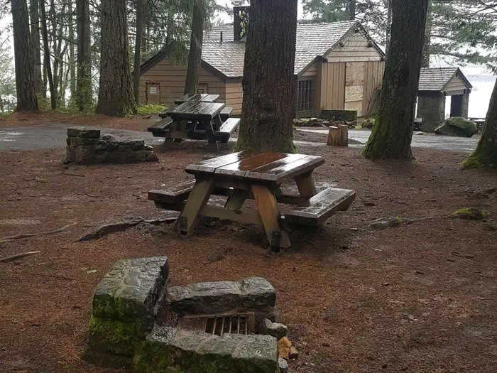
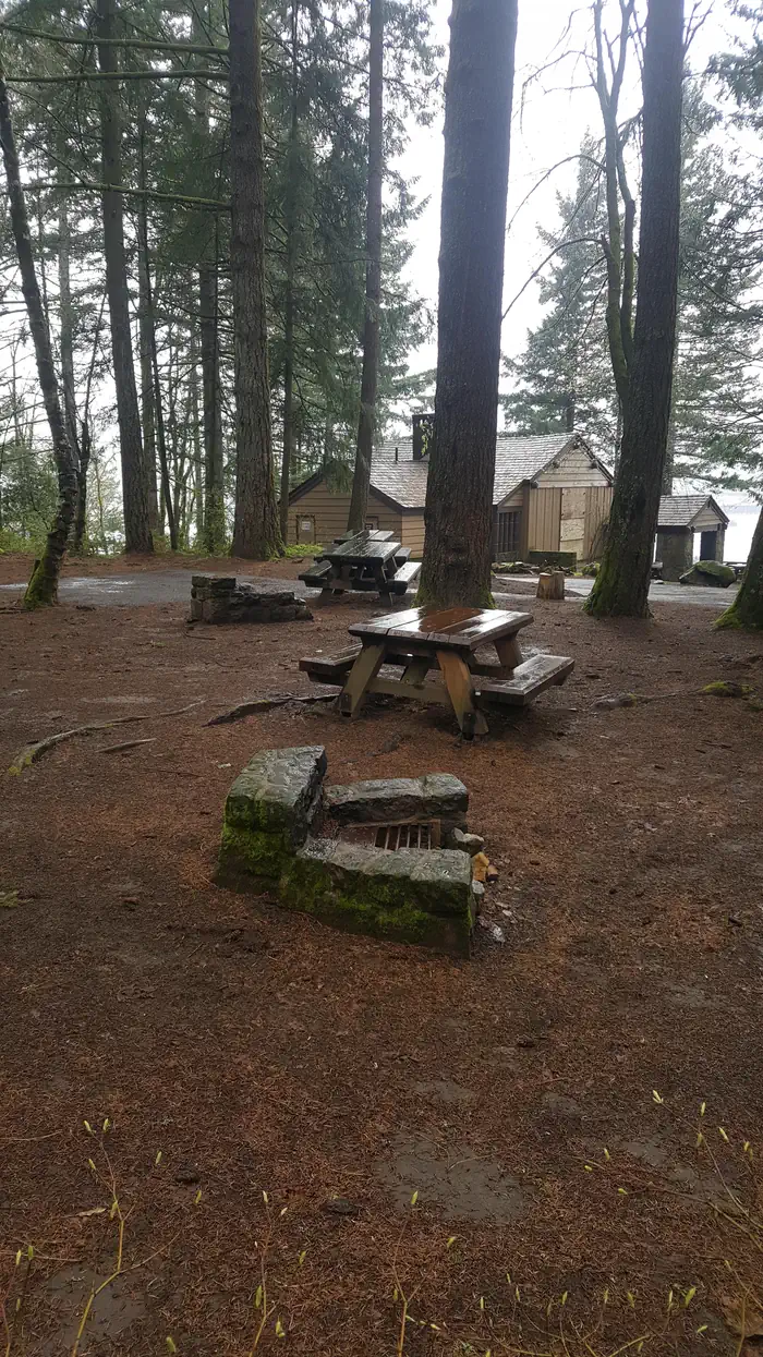
The Eagle Creek Overlook Group Site holds up to 90 people and approximately 40 cars, including trailers. There is a train trestle with under-clearance of 11' 6". The site is equipped with a large covered picnic shelter, picnic tables, campfire rings, drinking water and newly remodeled accessible flush toilets. A path from the site down the bluff provides access to the Columbia River.
Individual sites vary. Confirm on Recreation.gov or with the managing office.
Weather by month
Getting there
From Portland, OR: Travel east on Interstate 84. Take exit #41 "Eagle Creek Recreation Area", just past the tunnel. Make sure you are in the right lane before you enter the tunnel. At end of long off-ramp, turn left at the stop sign. Turn left again at Interstate on-ramp (follow sign to Overlook).
| Nearest town | Cascade Locks, Oregon |
| Coordinates | 45.6420° N, 121.9304° W · Directions ↗ |
Fire nearby
- WildfireHigh Lava
19 mi from the campground · 2,899 acres · 95% contained
- PrescribedTop Of The World Rx
26 mi from the campground
- PrescribedTracy Hill Rx
27 mi from the campground · 28 acres
- WildfireGrasshopper
34 mi from the campground · 93,972 acres · 98% contained
Distance is to the reported incident point, not the fire edge. Call the managing office before you drive.
Supplies & services
| Dump station | Stevenson Trailer Sewage Dump Station ↗ | 4 mi |
| Outdoor gear | Outdoor gear ↗ | 20.3 mi |
| RV sales & service | Look No Further RV's ↗ | 31.6 mi |
Locations © OpenStreetMap contributors. Call ahead; hours change seasonally.
Explore
Video
Video of Eagle Creek Campground, OR from Rachel K.
Worth a stop
A portion of the historic Columbia River Highway has been converted to a bike path. Access is just a few minutes from the Overlook and the trail runs 2 miles east to Cascade Locks and 4 miles west to John Yeon State Park. Visitors may want to traverse at least a portion of the spectacular Pacific Crest Trail (PCT), one of the world's premier National Scenic Trails. This trail showcases some of North America's most fantastic scenery, winding its way its way from Mexico to Canada through California, Oregon and Washington.
- 0.2 miEagle Creek Day Use Area ↗Day use
- 5.1 miHerman Creek Trailhead ↗Trailhead
Trails nearby
- 0.3 miWauna Viewpoint0.6 mi trail
- 0.3 miBuck Point0.5 mi trail
- 0.3 miEagle Creek4.3 mi trail
- 0.3 miShady Glen0.2 mi trail
- 0.6 miTamanous0.6 mi trail
- 0.6 miRuckel Creek3.3 mi trail
Trailheads within three miles
- 0.2 miEagle Creek Day Use Area ↗Columbia River Gorge National Scenic Area
- 0.6 miBonneville Trailhead ↗Columbia River Gorge National Scenic Area · Season Year round
- 2.2 miBridge Of The Gods Trailhead ↗Columbia River Gorge National Scenic Area · Season Year-round
Trail and trailhead records are the Forest Service's. Distances are straight-line to the nearer trail end. Trail conditions are not tracked here.
Public land it sits in
This campground sits inside Mark O. Hatfield Wilderness.
- inMark O. Hatfield Wilderness ↗Wilderness · Forest Service · 65,435 acres
- 3 miPierce National Wildlife Refuge ↗National Wildlife Refuge · Fish and Wildlife Service · 386 acres
- 5.5 miMt. Hood National Forest ↗National Forest · Forest Service · 1,060,160 acres
Each unit is published as a centre point and an acreage rather than a boundary, so this section stands it in for a circle of the same area. Whether a campground is inside, and how far it is from one it is outside, are both approximate.
Other campgrounds nearby


Cabin and lookout rentals nearby

Historic landmarks nearby

Natural features
Spanning southern Washington and northern Oregon, from the mouths of Sandy River to the Deschutes River, the Columbia River Gorge is unique in both its natural and cultural history, as well as its designation as a National Scenic Area. It is a spectacular river canyon, 80 miles long and up to 4,000 feet deep, cutting the only sea level route through the Cascade Mountain Range.
Recreation
The Eagle Recreation Area, just a short walk or bike ride away, provides visitors with opportunities for picnicking, hiking and wildlife viewing. Bonneville Dam, about a mile west of the campground, features sturgeon ponds, fish viewing and a visitor's center. Visitors will find display ponds showcasing large rainbow trout and adult white sturgeon measuring more than ten feet long. Interpretive displays offer visitors insight into the history and construction of the dam and its impact on the surrounding areas. The Eagle Creek Trail* is the most popular trail in the Columbia Gorge, offering spectacular viewpoints and waterfalls. The relatively easy trail follows Eagle Creek through the forest and along paths carved into basalt cliffs. Notable stopping points include Punch Bowl Falls, where water spills 100 feet into a blue-green pool set in a large grotto, High Bridge, which traverses the gorge 150 feet above the creek and Tunnel Falls, where the trail passes through a tunnel behind the shower of falling water. This trail is part of a multi-day loop opportunity which continues into the Mark O. Hatfield Wilderness in the Mt. Hood National Forest.
Guidebooks for Oregon
We earn a small commission if you buy through these links. It does not change what we list.

Titles come from Open Library's catalog, matched by subject heading or by title.
Reference
Questions people ask
Do I need a reservation at Eagle Creek Overlook Grp Site?
Sites at Eagle Creek Overlook Grp Site are reservable on Recreation.gov. Any walk-up sites are listed on the booking page.
Source: Recreation.gov
What time is check-in at Eagle Creek Overlook Grp Site?
Check-in 2:00 PM, checkout 12:00 PM.
Source: Recreation.gov
How many sites does Eagle Creek Overlook Grp Site have?
1 site, including 1 group standard area nonelectric.
Source: Recreation.gov
Can I bring an RV to Eagle Creek Overlook Grp Site?
Eagle Creek Overlook Grp Site is listed for tents only.
Source: Recreation.gov
Are there showers or a dump station at Eagle Creek Overlook Grp Site?
The site is equipped with a large covered picnic shelter, picnic tables, campfire rings, drinking water and newly remodeled accessible flush toilets.
Source: Recreation.gov
Are pets allowed at Eagle Creek Overlook Grp Site?
Yes, pets are allowed at Eagle Creek Overlook Grp Site. Leash rules apply.
Source: Recreation.gov
Can I have a campfire at Eagle Creek Overlook Grp Site?
Fires are allowed in the provided rings under normal conditions. As of 2026-10-16, there are 4 active fires within 50 miles, so check current restrictions before you light one.
Source: Fire nearby
Are there accessible sites at Eagle Creek Overlook Grp Site?
Site 01 is listed accessible on Recreation.gov. What that covers (a paved pad, an accessible table, a nearby accessible restroom) is on each site's booking page.
Source: Recreation.gov
Is there cell service at Eagle Creek Overlook Grp Site?
FCC coverage maps show Verizon 4G LTE, AT&T 5G, and T-Mobile 5G at the campground point. Terrain changes that from one site to the next.
Source: FCC Broadband Map
What is there to do at Eagle Creek Overlook Grp Site?
The Eagle Recreation Area, just a short walk or bike ride away, provides visitors with opportunities for picnicking, hiking and wildlife viewing. The Recreation section on this page has the rest.
Source: Recreation
What is the nearest town to Eagle Creek Overlook Grp Site?
Cascade Locks, Oregon. A portion of the historic Columbia River Highway has been converted to a bike path.
Source: Getting there
What if Eagle Creek Overlook Grp Site is full?
The nearest public campgrounds are Eagle Creek Campground (0.2 mi), Herman Creek Campground/Horse Camp (5.1 mi), and Wahtum Lake Campground (8 mi, first-come).
Source: Campgrounds nearby