South Fork Group Site
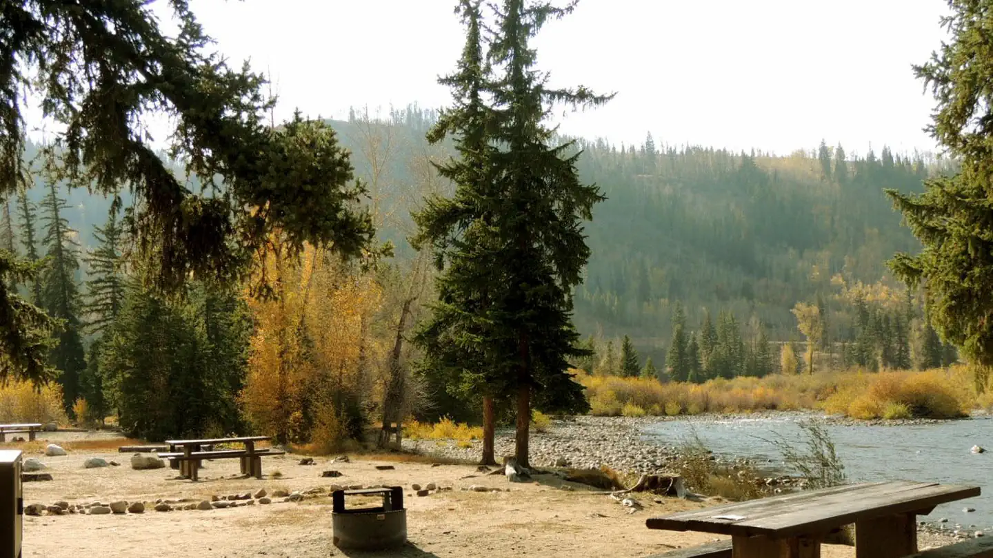
South Fork Group Campground is located in north central Colorado in the Williams Fork Valley next to South Fork Creek. Many mountain streams and creeks nearby offer good fishing opportunities. South Fork is the only facility in the area designated for horse camping.
The group site takes reservations. Single sites are first-come, first-served.
More like this: first-come in Colorado · reservable in Colorado · pets allowed in Colorado · group sites in Colorado
Check availability on Recreation.gov ↗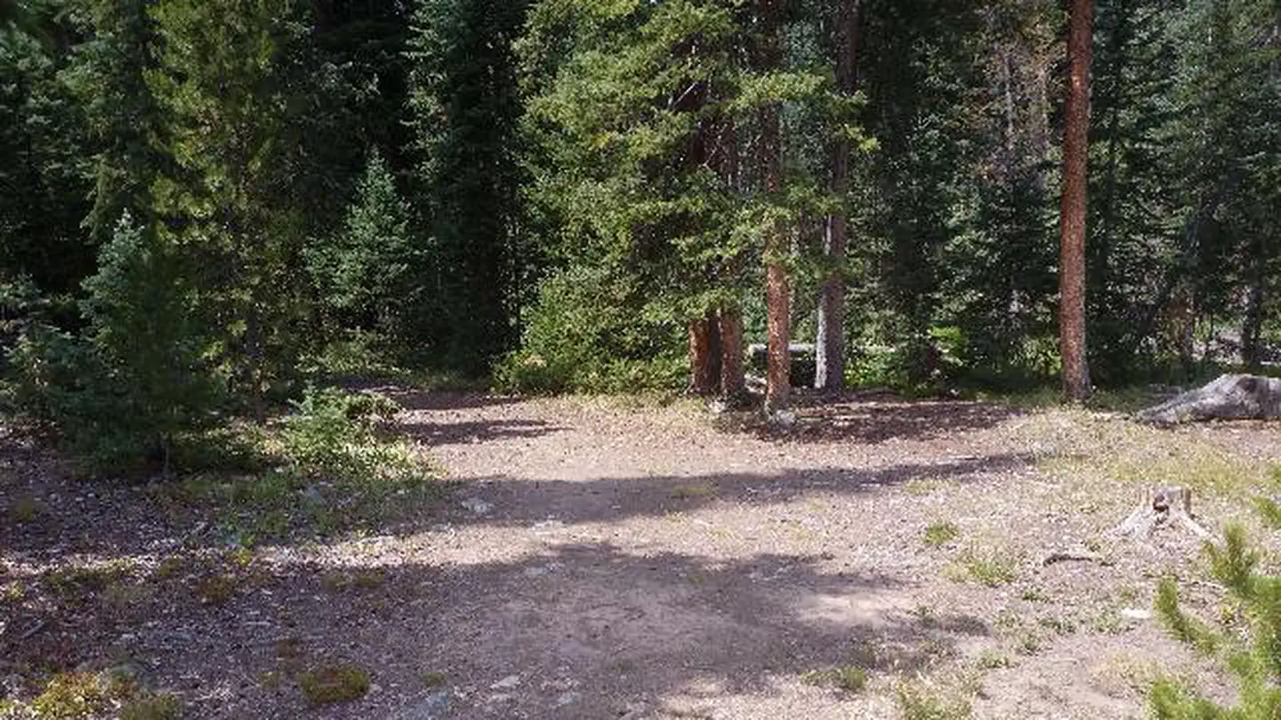
Site mix
| Group sites | 1 |
Site guide
Will my RV fit
The longest site here provides 30 feet of vehicle capacity. Most sites are shorter.
1 site. Tap a filter to narrow the list; the map follows.
| Site | Entry | Fits, ft | People / vehicles | Accessible |
|---|---|---|---|---|
| GS1 | Back-in | 30 | 25 / 6 | Yes |
Per-site records as published by the managing agency on Recreation.gov. Blank cells mean the agency listed nothing for that site. Check-in 2:00 PM, checkout 1:00 PM.
Amenities & rules
| Hookups | None |
| Max vehicle length | 30 ft |
| Equipment | RVs & trailers, Tents |
| Pets | Allowed |
| Accessibility | Site GS1 is listed accessible |
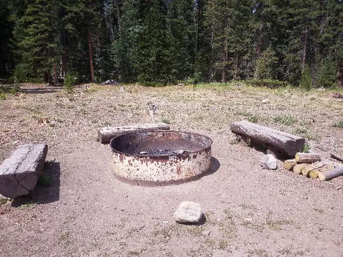
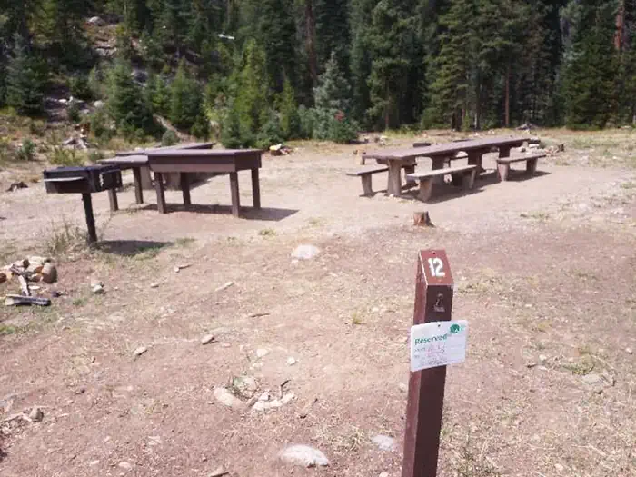
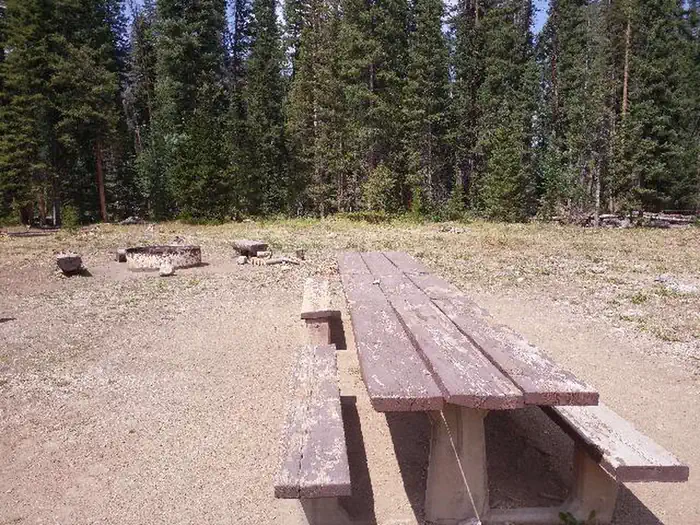
The campground offers one reservable, accessible group site that can accommodate up to 25 people. Individual sites are available on a first-come, first-served basis. Picnic tables, campfire rings and tents pads are provided, as are flush and pit toilets and drinking water. A small corral, for one or two horses, is located in the campground.
Individual sites vary. Confirm on Recreation.gov or with the managing office.
Weather by month
Getting there
From Granby, Colorado, take State Highway 40 west toward Parshall, Colorado. Two miles before Parshall, turn left on County Road 3. Go approximately 18 miles on County Road 3. Turn south onto County Road 30 and travel 12 miles. Drive through a large culvert. Continue south for a half-mile and turn right into the campground.
| Nearest town | Parshall, Colorado |
| Coordinates | 39.7941° N, 106.0306° W · Directions ↗ |
Charges and cancellations
Customers and contact center agents cannot modify reservations on or after the check-in date.
Fire nearby
- PrescribedHarris Park Broadcast Rx
34 mi from the campground · 390 acres
- WildfireWillow
44 mi from the campground · 7,359 acres · 92% contained
Distance is to the reported incident point, not the fire edge. Call the managing office before you drive.
Supplies & services
| Outdoor gear | Loveland Valley Sports Shop ↗ | 10.8 mi |
| Dump station | Dump station ↗ | 27.7 mi |
| RV sales & service | RV sales & service ↗ | 44.7 mi |
Locations © OpenStreetMap contributors. Call ahead; hours change seasonally.
Explore
Worth a stop
- 0.4 miWilliams Fork Trailhead ↗Trailhead
- 0.4 miWilliams Fork Trailhead Day Use ↗Trailhead
- 11.5 mi
- 14 miClear Creek Picnic Site ↗Day use
Trails nearby
- under 0.1 miWilliams Fork Boardwalk0.6 mi trail · hiking, horse, bike
- 0.4 miDarling Creek ↗5.2 mi trail · hiking, horse, bike
- 0.4 miSouth Fork ↗23.9 mi trail · hiking, horse, bike
- 1.6 miUte Peak ↗13.6 mi trail · hiking, horse, bike
- 2.6 miAcorn Creek Trail3 mi trail · hiking, horse, bike
- 2.7 miUte Pass2.5 mi trail · hiking, horse, bike
Trailheads within three miles
- 0.2 miBoardwalk Trailhead ↗Arapaho & Roosevelt National Forests Pawnee NG
- 0.3 miDarling Creek Trailhead ↗Arapaho & Roosevelt National Forests Pawnee NG
- 0.4 miWilliams Fork Trailhead ↗Arapaho & Roosevelt National Forests Pawnee NG
- 1.6 miUte Peak Trailhead ↗Arapaho & Roosevelt National Forests Pawnee NG
Trail and trailhead records are the Forest Service's. Distances are straight-line to the nearer trail end. Trail conditions are not tracked here.
Public land it sits in
Byers Peak Wilderness begins about 2.8 miles away, and it is the closest of these.
- 2.8 miByers Peak Wilderness ↗Wilderness · Forest Service · 8,801 acres
- 3.6 miPtarmigan Peak Wilderness ↗Wilderness · Forest Service · 12,615 acres
- 6.2 miEagles Nest Wilderness ↗Wilderness · Forest Service · 135,104 acres
Each unit is published as a centre point and an acreage rather than a boundary, so this section stands it in for a circle of the same area. Whether a campground is inside, and how far it is from one it is outside, are both approximate.
Other campgrounds nearby


Historic landmarks nearby

Natural features
The campground is located in the Williams Fork Valley next to South Fork Creek at an elevation of 8,962 feet. A cool mountain climate with frequent afternoon thunderstorms should be expected. Due to the pine beetle infestation and hazardous tree removal, shade has been reduced throughout the campground. The Arapaho and Roosevelt National Forests and Pawnee National Grassland sit on the foothills and peaks of the Rocky Mountains in Colorado. The forests and grassland cover 1.5 million acres and extend north to the Wyoming border, south to Mount Evans and west across the Continental Divide.
Recreation
The South Fork Trail begins at the campground and is one of the most popular trails in the valley. The 26-mile loop trail is open to hiking and horseback riding, and provides access to other trails in the area, including Ptarmigan Pass, Ute Peak and Jones Pass Trails. Mountain biking opportunities also exist in the valley. The Byers Peak Wilderness can be accessed nearby. Anglers enjoy trout fishing on the South Fork Creek and numerous additional streams and creeks in the surrounding area. Wildlife viewing opportunities abound.
Guidebooks for Colorado
We earn a small commission if you buy through these links. It does not change what we list.



Titles come from Open Library's catalog, matched by subject heading or by title.
Reference
Questions people ask
Do I need a reservation at South Fork Group Site?
For some sites. The group site takes reservations. Single sites are first-come, first-served.
Source: Recreation.gov
What time is check-in at South Fork Group Site?
Check-in 2:00 PM, checkout 1:00 PM.
Source: Recreation.gov
How many sites does South Fork Group Site have?
1 site, including 1 group site.
Source: Recreation.gov
Will my RV fit at South Fork Group Site?
The longest site here provides 30 feet of vehicle capacity. Most sites are shorter. The sidebar tool checks a trailer or motorhome length against every site.
Source: Will my RV fit
Are pets allowed at South Fork Group Site?
Yes, pets are allowed at South Fork Group Site. Leash rules apply.
Source: Recreation.gov
Are there accessible sites at South Fork Group Site?
Site GS1 is listed accessible on Recreation.gov. What that covers (a paved pad, an accessible table, a nearby accessible restroom) is on each site's booking page.
Source: Recreation.gov
What is there to do at South Fork Group Site?
The South Fork Trail begins at the campground and is one of the most popular trails in the valley. The Recreation section on this page has the rest.
Source: Recreation
What is the nearest town to South Fork Group Site?
Parshall, Colorado.
Source: Getting there
What if South Fork Group Site is full?
The nearest public campgrounds are South Fork Campgound (0.2 mi, partly first-come), Sugarloaf Campground (0.4 mi, first-come), and Columbine Landing Recreation Site (6 mi, first-come).
Source: Campgrounds nearby