Porcupine Springs
Porcupine Springs Campground is located along the scenic Rock Creek Road, in southern Idaho. It sits at an elevation of 6,950 feet. Visitors enjoy the area for its abundance of trails and scenic beauty.
More like this: reservable in Idaho · group sites in Idaho
Check availability on Recreation.gov ↗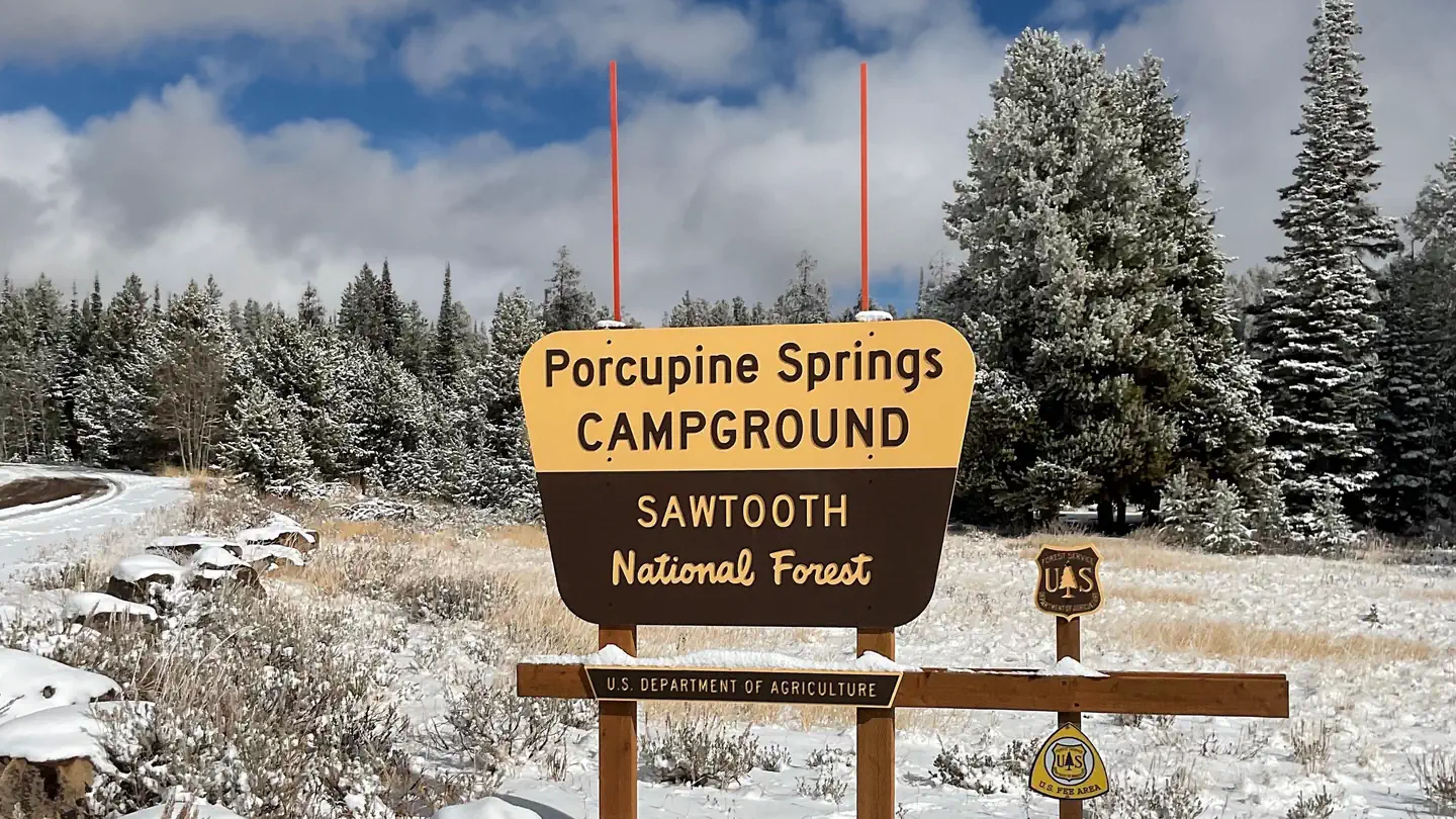
Site mix
| Standard, no hookups | 4 |
| Group sites | 3 |
| Host/management | 2 |
Site guide
Will my RV fit
The longest site here provides 30 feet of vehicle capacity. Most sites are shorter.
7 sites in 4 loops. Tap a filter to narrow the list; the map follows.
| Site | Loop | Type | Entry | Fits, ft | Surface | Shade | People / vehicles | Fires | Accessible |
|---|---|---|---|---|---|---|---|---|---|
| LOPA | LOOA | Group | Back-in | 30 | Gravel | Full | 100 / 8 | Yes | |
| LOPB | LOOB | Group | Back-in | 30 | Gravel | Full | 100 / 9 | Yes | |
| LOPC | LOOC | Group | Back-in | 30 | Gravel | Full | 50 / 9 | Yes | |
| 15 | LOOP D | Standard | Back-in | 30 | Gravel | Partial | 8 / 2 | Yes | |
| 16 | LOOP D | Standard | Back-in | 30 | Gravel | Partial | 8 / 2 | Yes | |
| 17 | LOOP D | Standard | Back-in | 30 | Gravel | Partial | 8 / 2 | Yes | Yes |
| 18 | LOOP D | Standard | Back-in | 30 | Gravel | Partial | 8 / 2 | Yes |
Per-site records as published by the managing agency on Recreation.gov. Blank cells mean the agency listed nothing for that site. Check-in 12:00 PM, checkout 10:00 AM.
Amenities & rules
| Hookups | None |
| Max vehicle length | 30 ft |
| Equipment | RVs & trailers, Tents |
| Accessibility | Sites LOPA, LOPB, LOPC, 17 are listed accessible |
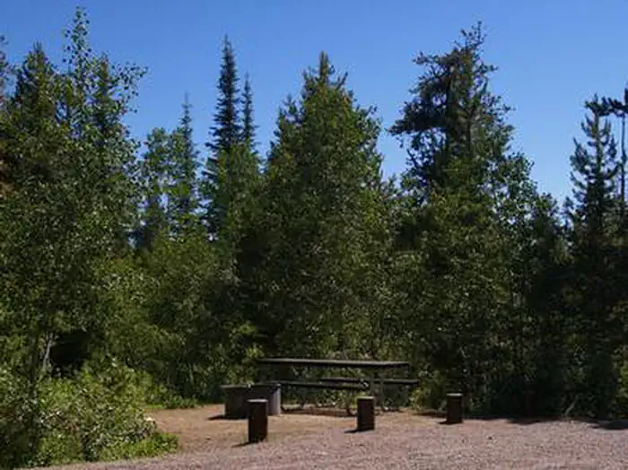
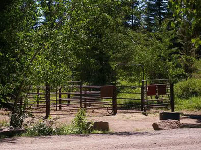
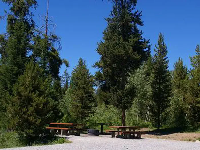
This large campground contains three group sites that each accommodate up to 50 and 100 people. The recently updated sites are accessible and equipped with picnic tables, grills, serving and utility tables and campfire circles. The group site on Loop C has large corrals for horses. Several single-family campsites are available as well. Each is equipped with a picnic table, campfire ring, grill and a utility table. Additional sites not listed for reservation are available on a first-come, first-served basis. Accessible vault toilets and drinking water are provided. A campground host is located on-site. Roads and parking spurs within the campground are gravel.
Individual sites vary. Confirm on Recreation.gov or with the managing office.
Season & status
| Status | Open |
| Season | May |
| Forest | Sawtooth National Forest |
| Fees | FEE AREA- Double Units $14.00/night Single Units $10.00/night Group Reservation Area $75.00/night Loops A, B, & C are reserved through www.recreation.gov as well as 4 single sites in Loop D |
| Rules | Occupancy: The following act is prohibited within the Minidoka Ranger District: Pursuant to 36 CFR 262.58 (a), camping in any area including a developed recreation site or an undeveloped/dispersed recreation site for more than 14 (fourteen) days in a 28 (twenty-eight) day period. |
Weather by month
Getting there
From Hansen, Idaho, travel south on County Road G3 for approximately 31 miles. The road becomes Forest Road 515. Continue on FR 515 as it becomes gravel and turns into Forest Road 500. The Porcupine Springs Campground sign will be on the left.
| Nearest town | Burley, Idaho |
| Coordinates | 42.1669° N, 114.2622° W · Directions ↗ |
Fire nearby
- PrescribedStinson Creek Rx 2026
30 mi from the campground · 450 acres
Distance is to the reported incident point, not the fire edge. Call the managing office before you drive.
Supplies & services
| Outdoor gear | Xtreme RV ↗ | 28.4 mi |
| Dump station | Dump station ↗ | 32.6 mi |
Locations © OpenStreetMap contributors. Call ahead; hours change seasonally.
Explore
Worth a stop
- 9.2 mi
Trails nearby
- 0.2 miTelephone Canyon ↗8.1 mi trail · hiking, horse, bike, motorcycle and 2 more
- 0.2 miFS Number One1.4 mi trail · hiking, horse, bike, motorcycle and 2 more
- 0.3 miPorcupine Loop ↗12.2 mi trail · snowmobile, snowshoe, ski
- 0.3 miFS #1-Telephone Cyn Connector0.06 mi trail · hiking, horse, bike, motorcycle and 2 more
- 0.5 miLittle Fork2.8 mi trail · hiking, horse, bike, motorcycle and 2 more
- 0.6 miHigh Loop2 mi trail · hiking, horse, bike, motorcycle and 2 more
Trail and trailhead records are the Forest Service's. Distances are straight-line to the nearer trail end. Trail conditions are not tracked here.
Other campgrounds nearby

Natural features
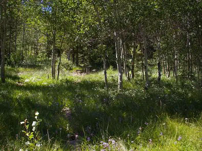
The campground is situated in a scenic forest of pine and aspen trees. Summer wildflowers are vivid and abundant, and wildlife frequents the area.
Recreation
Numerous hiking, biking, horseback riding and off-road vehicle trails begin within or near the campground, including Porcupine Springs, Ross Falls, Rim View, Pike Mountain and Third Fork trails. Fishing is popular on Rock Creek.
Guidebooks for Idaho
We earn a small commission if you buy through these links. It does not change what we list.

Titles come from Open Library's catalog, matched by subject heading or by title.
Reference
Questions people ask
Do I need a reservation at Porcupine Springs?
Sites at Porcupine Springs are reservable on Recreation.gov. Any walk-up sites are listed on the booking page.
Source: Recreation.gov
How much does it cost to camp at Porcupine Springs?
FEE AREA- Double Units $14.00/night Single Units $10.00/night Group Reservation Area $75.00/night Loops A, B, & C are reserved through www.recreation.gov as well as 4 single sites in Loop D
Source: Recreation.gov
What time is check-in at Porcupine Springs?
Check-in 12:00 PM, checkout 10:00 AM.
Source: Recreation.gov
Is Porcupine Springs open right now?
Open as of Oct 16, 2026. Season May.
Source: Forest Service status
How many sites does Porcupine Springs have?
9 sites, including 4 standard sites without power and 3 group sites.
Source: Recreation.gov
Will my RV fit at Porcupine Springs?
The longest site here provides 30 feet of vehicle capacity. Most sites are shorter. The sidebar tool checks a trailer or motorhome length against every site.
Source: Will my RV fit
Are there accessible sites at Porcupine Springs?
Sites LOPA, LOPB, LOPC, and 17 are listed accessible on Recreation.gov. What that covers (a paved pad, an accessible table, a nearby accessible restroom) is on each site's booking page.
Source: Recreation.gov
What is there to do at Porcupine Springs?
Numerous hiking, biking, horseback riding and off-road vehicle trails begin within or near the campground, including Porcupine Springs, Ross Falls, Rim View, Pike Mountain and Third Fork trails. The Recreation section on this page has the rest.
Source: Recreation
What is the nearest town to Porcupine Springs?
Burley, Idaho.
Source: Getting there
What if Porcupine Springs is full?
The nearest public campgrounds are Diamondfield Jack Campground (0.8 mi, first-come), Pettit Campground (1.5 mi, first-come), and Lower Penstemon (2.2 mi).
Source: Campgrounds nearby