Picnic Point
Picnic Point Campground is located on a bluff overlooking beautiful Warm Lake, at an elevation of 5,300 feet. Visitors enjoy boating, fishing, swimming, hiking and viewing local wildlife.
Some sites take reservations on Recreation.gov. Others are first-come, first-served.
More like this: first-come in Idaho · reservable in Idaho · tent only in Idaho · pets allowed in Idaho
Check availability on Recreation.gov ↗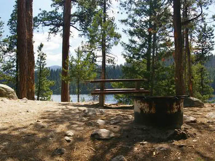
Site mix
| Walk-in | 8 |
Site guide
8 sites. Tap a filter to narrow the list; the map follows.
| Site | Shade | People / vehicles | Fires |
|---|---|---|---|
| 001 | Partial | 8 / – | |
| 002 | Partial | 8 / – | |
| 003 | Partial | 8 / – | |
| 004 | Partial | 8 / – | |
| 005 | Partial | 8 / – | |
| 006 | Partial | 8 / – | Yes |
| 007 | Partial | 8 / – | |
| 008 | Partial | 8 / – |
Per-site records as published by the managing agency on Recreation.gov. Blank cells mean the agency listed nothing for that site. Check-in 2:00 PM, checkout 1:00 PM.
Amenities & rules
| Equipment | Tents |
| Pets | Allowed |
| Campfires | Allowed, subject to restrictions |
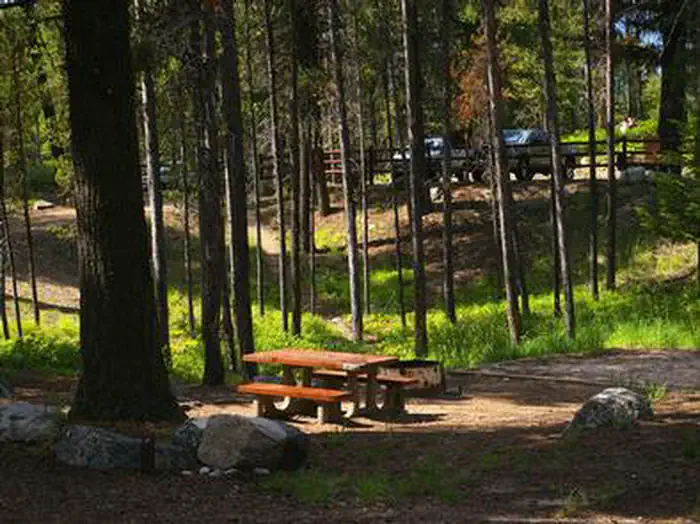
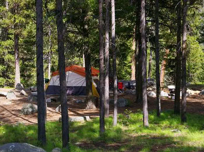
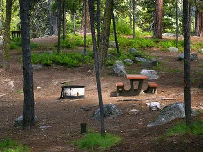
The campground offers tent-only campsites, which can be accessed via a 50 to 200 foot hike from the parking area. Some sites overlook the scenic lake. Stairs lead to the lakeshore from three locations within the campground. Sites are equipped with a table, campfire ring and grill. The parking area is dirt, as are the pathways within the campground.
Individual sites vary. Confirm on Recreation.gov or with the managing office.
Season & status
| Season | Mid-May to Mid-September |
| Forest | Boise National Forest |
| Booking | This is a fee campground with 8 sites for tents only, with some sites on a first come, first serve basis. |
Weather by month
Getting there
From Cascade, turn east on Warm Lake Highway. Travel approximately 26 miles along the paved road to Forest Road 489 and turn south. Continue about a half-mile past the Shoreline Campground and North Shore Lodge. The campground will be located just past the lodge, on the left side of the road.
| Nearest town | Cascade, Idaho |
| Coordinates | 44.6508° N, 115.6725° W · Directions ↗ |
Good to know
- Vault toilets, drinking water and trash collection are provided throughout the campground, but electricity is not available.
- Rustic North Shore Lodge is not far from the campground, offering a small restaurant, lounge and store with limited supplies.
Fire nearby
- PrescribedMeadow Marsh Rx
28 mi from the campground · 70 acres
- PrescribedGoose Rx
33 mi from the campground · 529 acres
- PrescribedMill Creek Council Mtn Rx
34 mi from the campground · 1,817 acres
- PrescribedRx Lowman Wui
39 mi from the campground
Distance is to the reported incident point, not the fire edge. Call the managing office before you drive.
Explore
Worth a stop
- 2.3 miBear Creek / Warm Lake Trailhead ↗Trailhead
- 4.8 miLodgepole Creek Trailhead ↗Trailhead
Trails nearby
- 0.4 miKline Mountain South1.5 mi trail · hiking, horse, bike, motorcycle and 2 more
- 0.6 miKline Mountain Loop3.6 mi trail · hiking, horse, bike
- 0.9 miKline Mountain North0.5 mi trail · hiking, horse, bike, motorcycle and 2 more
- 1.2 miWest Side Warm Lake ↗6.5 mi trail · snowmobile, snowshoe, ski
- 1.2 miWarm Lake / Deadwood ↗16.8 mi trail · snowmobile, snowshoe, ski
- 2 miWarm Bear Saddle1.2 mi trail · hiking, horse, bike, motorcycle and 2 more
Trailheads within three miles
- 2.3 miBear Creek / Warm Lake Trailhead ↗Boise National Forest
Trail and trailhead records are the Forest Service's. Distances are straight-line to the nearer trail end. Trail conditions are not tracked here.
Public land it sits in
This campground sits inside Payette National Forest.
- inPayette National Forest ↗National Forest · Forest Service · 2,407,306 acres
- 7.6 miBoise National Forest ↗National Forest · Forest Service · 2,526,862 acres
- 10.7 miFrank Church-River of No Return Wilderness ↗Wilderness · BLM/FS · 2,358,886 acres
Each unit is published as a centre point and an acreage rather than a boundary, so this section stands it in for a circle of the same area. Whether a campground is inside, and how far it is from one it is outside, are both approximate.
Other campgrounds nearby
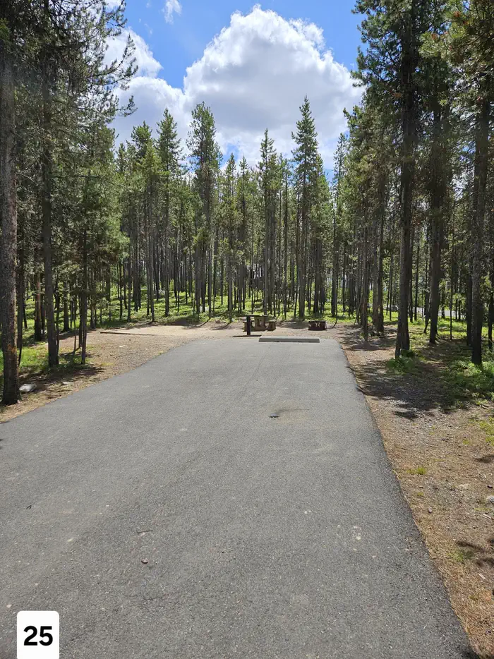
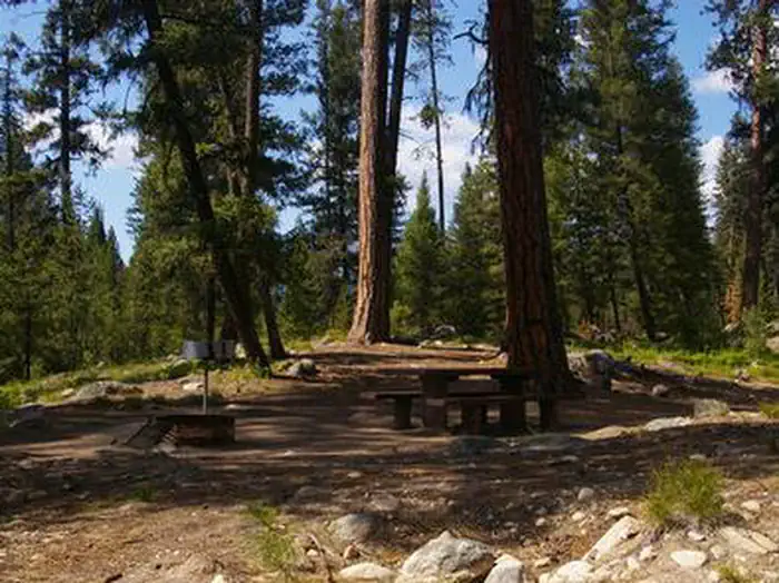


Cabin and lookout rentals nearby
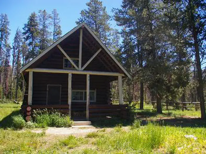
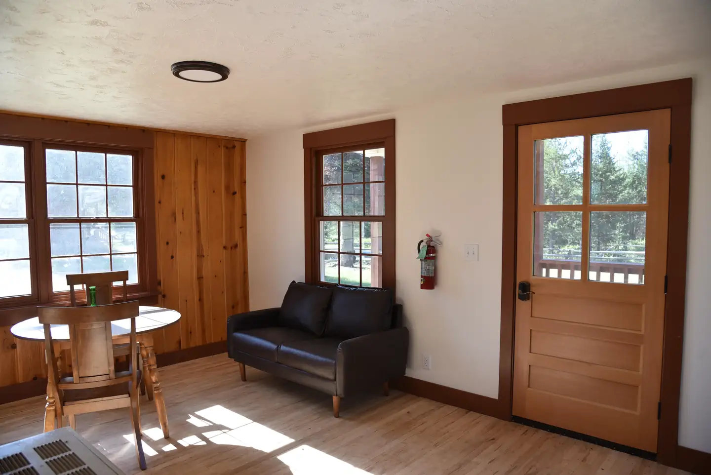
Natural features
The campground is situated beneath towering ponderosa pines, which provide partial shade. Summer wildflowers are abundant in the area. A variety of wildlife including bears, deer, elk, fox, grouse, eagles, osprey, grosbeaks, whooping cranes and otters, lives around the lake.
Recreation
Warm Lake offers great fishing opportunities for cutthroat, rainbow, lake and bull trout. Boating, canoeing and swimming are popular activities. A boat ramp is located at neighboring Shoreline Campground. Billy Rice Swim Beach is within walking distance, offering a day-use site for picnicking and access to a swimming beach. The surrounding area offers great hiking, mountain biking, horseback and off-road vehicle riding and hunting. The WeWuKiye (Wa Wu Kia) Trail No. 252 was recently built and can be accessed nearby, at the entrance to Shoreline Campground. It is available for hiking and mountain biking. For off-road vehicle enthusiasts, Telephone Ridge Trail No. 112 offers 20 miles of trails for all riding levels, with staging areas at Shoreline Campground and at Warm Lake Campground down the road.
Guidebooks for Idaho
We earn a small commission if you buy through these links. It does not change what we list.

Titles come from Open Library's catalog, matched by subject heading or by title.
Reference
Questions people ask
Do I need a reservation at Picnic Point?
For some sites. Some sites take reservations on Recreation.gov. Others are first-come, first-served.
Source: Recreation.gov
What time is check-in at Picnic Point?
Check-in 2:00 PM, checkout 1:00 PM.
Source: Recreation.gov
How many sites does Picnic Point have?
8 sites, including 8 walk-in sites.
Source: Recreation.gov
Can I bring an RV to Picnic Point?
Picnic Point is listed for tents only.
Source: Recreation.gov
Are pets allowed at Picnic Point?
Yes, pets are allowed at Picnic Point. Leash rules apply.
Source: Recreation.gov
Can I have a campfire at Picnic Point?
Fires are allowed in the provided rings under normal conditions. As of 2026-10-16, there are 4 active fires within 50 miles, so check current restrictions before you light one.
Source: Fire nearby
What is there to do at Picnic Point?
Warm Lake offers great fishing opportunities for cutthroat, rainbow, lake and bull trout. The Recreation section on this page has the rest.
Source: Recreation
What is the nearest town to Picnic Point?
Cascade, Idaho.
Source: Getting there
What if Picnic Point is full?
The nearest public campgrounds are Shoreline (0.4 mi, partly first-come), Warm Lake (0.8 mi, partly first-come), and South Fork Salmon River Campground (1.5 mi, first-come).
Source: Campgrounds nearby