Butte Lake Group
Butte Lake Group Campground (elevation 6,100 feet) is located in the northeastern section of Lassen Volcanic National Park in northern California. It is fairly remote and within walking distance of Butte Lake, which is popular for fishing, canoeing, kayaking and swimming. Several hiking and backpacking trails are located nearby. The facility is 45 minutes from the main park road.
This is the group site. Looking for the main campground? Butte Lake, 81 sites, is next door.
More like this: reservable in California · big rigs in California · pets allowed in California · group sites in California
Check availability on Recreation.gov ↗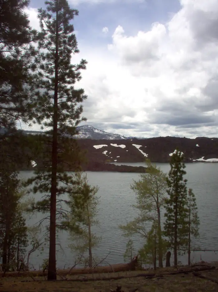
Site mix
| Group sites | 6 |
Site guide
Will my RV fit
The longest site here provides 45 feet of vehicle capacity. Most sites are shorter.
6 sites. Tap a filter to narrow the list; the map follows.
| Site | Entry | Fits, ft | Surface | Shade | People / vehicles | Fires |
|---|---|---|---|---|---|---|
| A | Pull-through | 45 | Gravel | Partial | 25 / 6 | Yes |
| B | Pull-through | 45 | Gravel | Partial | 25 / 6 | Yes |
| C | Pull-through | 30 | Gravel | Partial | 25 / 6 | Yes |
| D | Pull-through | 25 | Gravel | Partial | 25 / 6 | Yes |
| E | Pull-through | 45 | Gravel | Partial | 25 / 6 | Yes |
| F | Pull-through | 45 | Gravel | Partial | 25 / 6 | Yes |
Per-site records as published by the managing agency on Recreation.gov. Blank cells mean the agency listed nothing for that site. Check-in 1:00 PM, checkout 12:00 PM.
Amenities & rules
| Hookups | None |
| Max vehicle length | 45 ft |
| Equipment | RVs & trailers, Tents |
| Pets | Allowed |
| Campfires | Allowed, subject to restrictions |
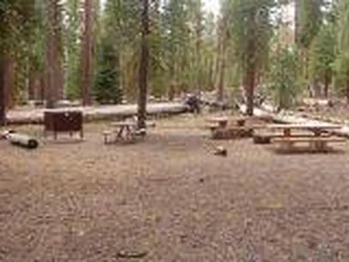
Butte Lake Group Campground is located at the north end of Loop B, adjacent to the main Butte Lake Campground. This facility is more remote than other campgrounds within the park and campers must travel on a six-mile gravel road to get here. A non-motorized boat launch is convenient for kayaks and canoes. Flush toilets and running water are turned on during summer; vault toilets are available outside of the peak season.
Individual sites vary. Confirm on Recreation.gov or with the managing office.
Weather by month
Getting there
From Redding, drive 63 miles east on state highway 44 to Old Station. From intersection of state highway 89 and 44, continue east on state highway 44 for 11 miles. Watch for sign to Butte Lake Campground. Turn right and continue for 6 miles on a rough gravel road.
| Nearest town | Mineral, California |
| Coordinates | 40.5650° N, 121.3053° W · Directions ↗ |
Fire nearby
- PrescribedCy26 Elrd Underburn Drake Unit 7 & 9 Rx
11 mi from the campground
- PrescribedCy26 Elrd Understory Drake Unit 6 8 &10 Rx
11 mi from the campground
Distance is to the reported incident point, not the fire edge. Call the managing office before you drive.
Supplies & services
| Dump station | Dump station ↗ | 13.6 mi |
| RV sales & service | Reliable RV ↗ | 37.8 mi |
Locations © OpenStreetMap contributors. Call ahead; hours change seasonally.
Explore
Video
Lassen’s Most Remote Campground? Butte Lake Access, Costs & Tour
Worth a stop
Visitors can explore Subway Cave, an underground tube created by lava flow, in the adjacent Lassen National Forest from late April through November. Free tours are offered every weekend during summer. Subway Cave, Lassen National Forest
- 8.8 miSilver Bowl Picnic ↗Day use
- 9.1 miSilver Beach Picnic Area ↗Day use
Trails nearby
- 3.7 miButte Creek Disp0.08 mi trail · hiking, horse, bike, motorcycle and 4 more
- 4 miTriangle-Lvnp Caribou1.8 mi trail · hiking, horse
- 4.5 miBidwell Springs Tie Disp0.3 mi trail · hiking, horse, bike, motorcycle and 2 more
- 4.5 miButte Lake ↗18.5 mi trail · snowmobile, snowshoe, ski
- 4.5 miCone Lake3.9 mi trail · snowmobile, snowshoe, ski
Trail and trailhead records are the Forest Service's. Distances are straight-line to the nearer trail end. Trail conditions are not tracked here.
Public land it sits in
This campground sits inside Lassen National Forest.
- inLassen National Forest ↗National Forest · Forest Service · 1,488,712 acres
- 0.6 miLassen Volcanic Wilderness ↗Wilderness · National Park Service · 79,061 acres
- 3.9 miCaribou Wilderness ↗Wilderness · Forest Service · 20,839 acres
Each unit is published as a centre point and an acreage rather than a boundary, so this section stands it in for a circle of the same area. Whether a campground is inside, and how far it is from one it is outside, are both approximate.
Other campgrounds nearby
Cabin and lookout rentals nearby
On the National Register nearby
- Prospect Peak Fire LookoutBuilding · Mineral · 2.2 mi
- Twin Lakes Fire Tool CacheBuilding · Mineral · 4.5 mi
- Horseshoe Lake Ranger StationBuilding · Chester · 6.5 mi
Natural features
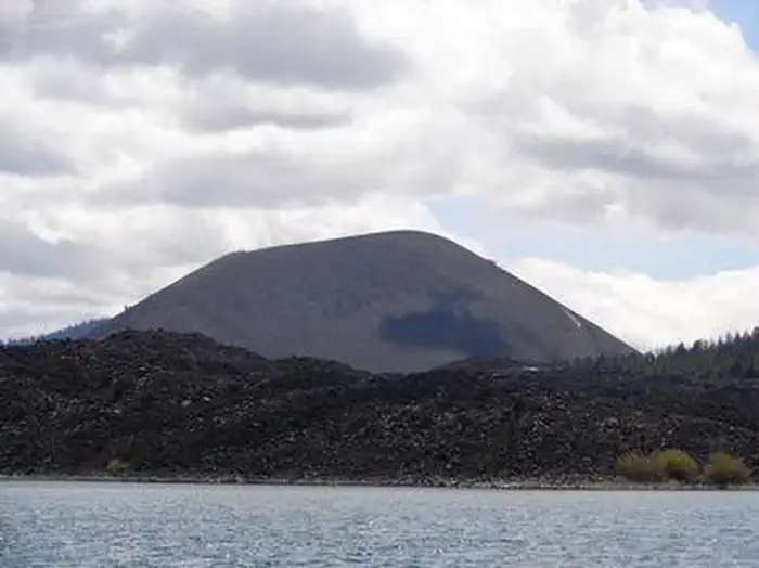
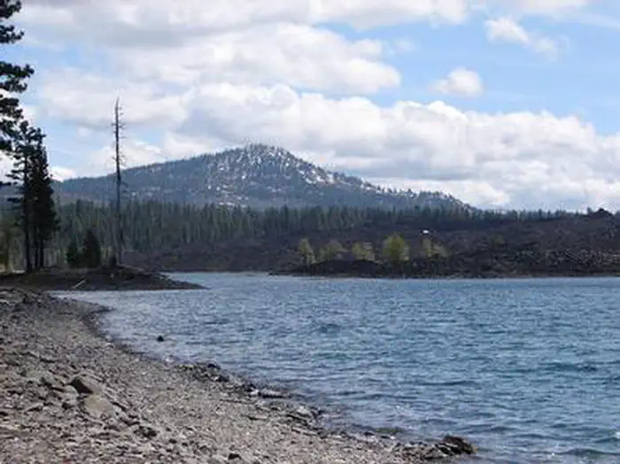
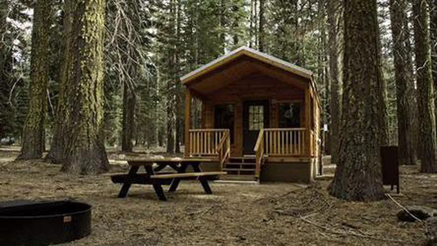
The campground has a pleasant atmosphere dominated by Ponderosa pines. It sits on soft volcanic soils, and several ponds dot the landscape. Butte Lake has a large black lava flow running into it that creates rocky shores and interesting areas for visitors in kayaks and canoes to explore. The national park is known for its volcanic history, as well as its diversity of plants and animals. It contains 300 active volcanic domes and many hydrothermal features, such as mud pots and steam vents. Lassen Peak is the southernmost active volcano in the Cascades, and the second-most recent volcano to erupt in the lower 48 of the United States before Mount Saint Helens in 1980. Lassen National Park boasts over 700 species of flowering plants and 250 species of vertebrates, including birds, mammals, reptiles and fish. The park is at the junction of the Cascade Mountains, the Sierra Nevada Mountains and the Great Basin, thus providing many unique habitats.
Recreation
Outdoor enthusiasts stay at Butte Lake Campground for its many recreation opportunities. The lake is popular for trout fishing, as well as non-motorized boating. Within the facility, hikers and backpackers will find the trailhead for the Cinder Cone Trail, one of the most popular trails in the park that ascends a nearby volcanic dome. The Painted Dunes, Snag Lake and Bathtub Lake areas are also nearby.
Guidebooks for Lassen Volcanic National Park
We earn a small commission if you buy through these links. It does not change what we list.
- Monitoring the American Pika in the Pacific West Region: Crater Lake National Park, Craters of the Moon National Monument and Preserve, Lassen Volcanic National Park, and Lava Beds National Monument: Standard Operating ProceduresNational Park Service, 2013Find at Bookshop.org
Titles come from Open Library's catalog, matched by subject heading or by title.
Reference
Questions people ask
Do I need a reservation at Butte Lake Group?
Sites at Butte Lake Group are reservable on Recreation.gov. Any walk-up sites are listed on the booking page.
Source: Recreation.gov
What time is check-in at Butte Lake Group?
Check-in 1:00 PM, checkout 12:00 PM.
Source: Recreation.gov
How many sites does Butte Lake Group have?
6 sites, including 6 group sites.
Source: Recreation.gov
Will my RV fit at Butte Lake Group?
The longest site here provides 45 feet of vehicle capacity. Most sites are shorter. The sidebar tool checks a trailer or motorhome length against every site.
Source: Will my RV fit
Are there showers or a dump station at Butte Lake Group?
Flush toilets and running water are turned on during summer; vault toilets are available outside of the peak season.
Source: Recreation.gov
Are pets allowed at Butte Lake Group?
Yes, pets are allowed at Butte Lake Group. Leash rules apply.
Source: Recreation.gov
Can I have a campfire at Butte Lake Group?
Fires are allowed in the provided rings under normal conditions. As of 2026-10-16, there are 2 active fires within 50 miles, so check current restrictions before you light one.
Source: Fire nearby
What is there to do at Butte Lake Group?
Outdoor enthusiasts stay at Butte Lake Campground for its many recreation opportunities. The Recreation section on this page has the rest.
Source: Recreation
What is the nearest town to Butte Lake Group?
Mineral, California. Visitors can explore Subway Cave, an underground tube created by lava flow, in the adjacent Lassen National Forest from late April through November.
Source: Getting there
What if Butte Lake Group is full?
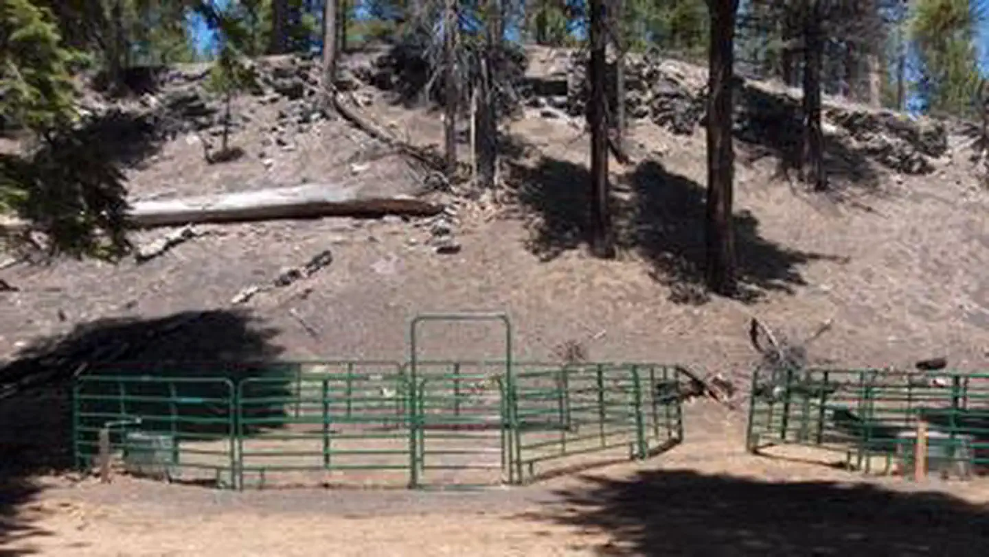
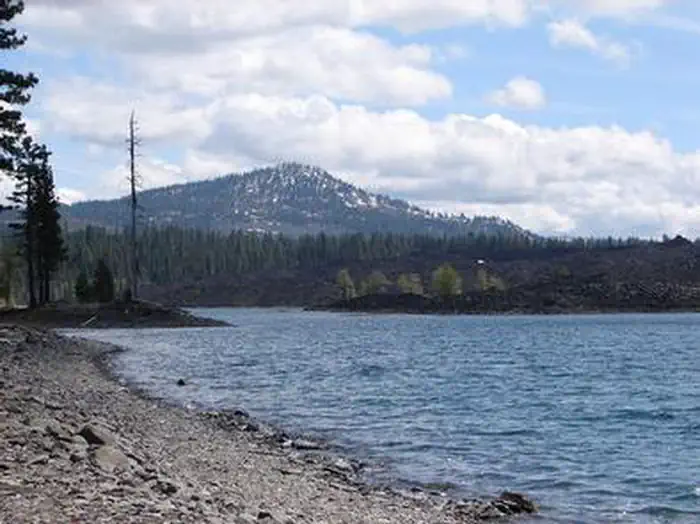
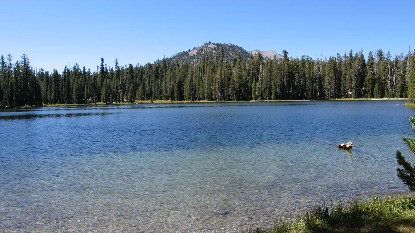
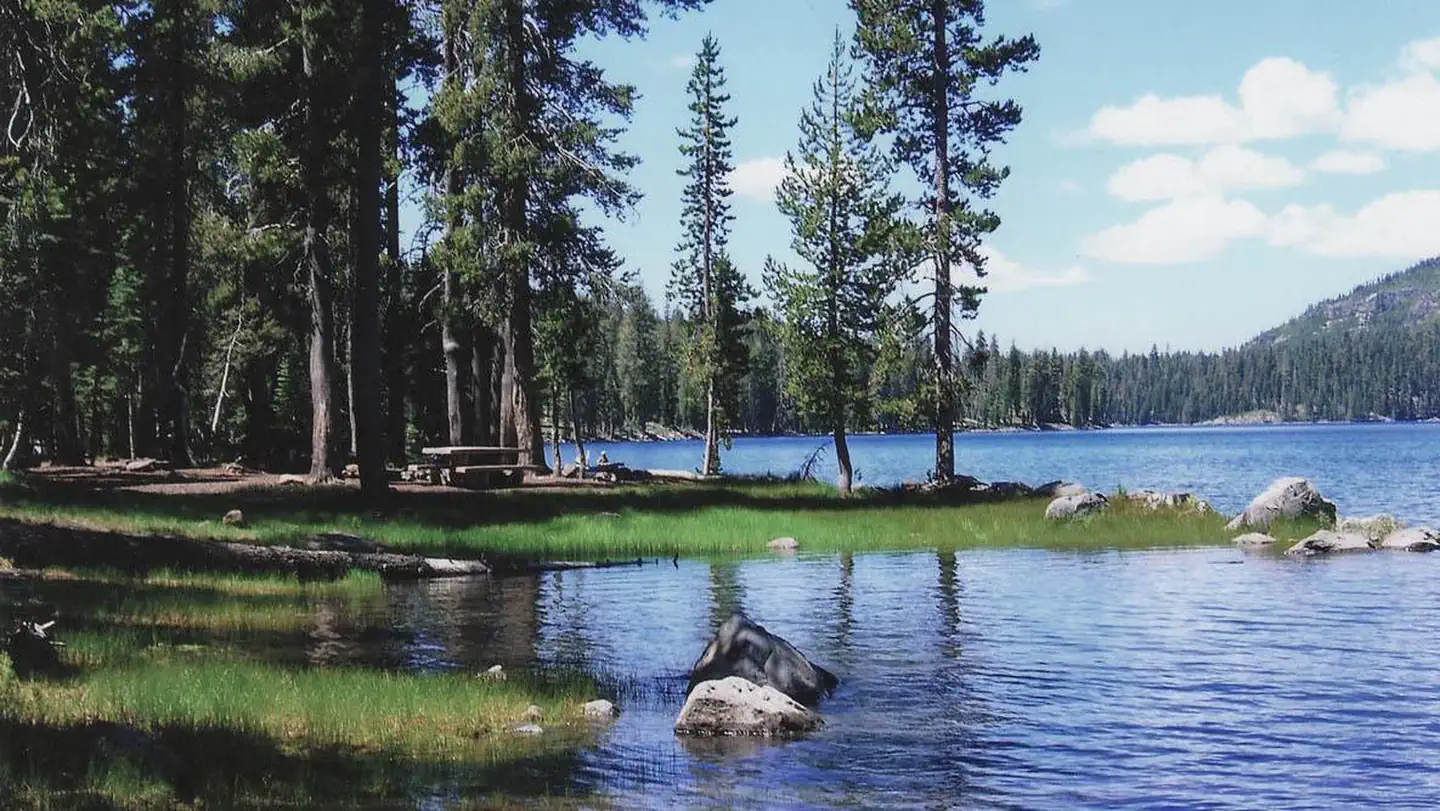
The nearest public campgrounds are Butte Lake Stock Corral (under 0.1 mi), Butte Lake (under 0.1 mi), and Summit Lake Stock Corral (7.6 mi).
Source: Campgrounds nearby
Which national park is Butte Lake Group in?
Butte Lake Group is a Lassen Volcanic National Park campground. Entrance fees, alerts, and hours are on Park Atlas.
Source: Lassen Volcanic National Park