Jarvies Family Boat In
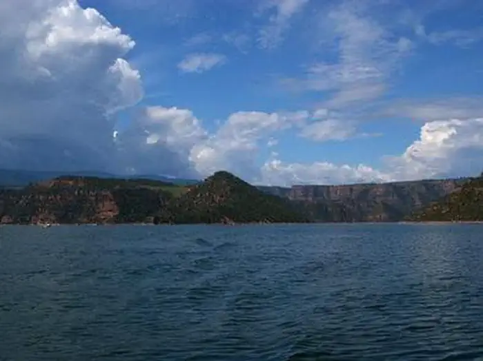
Jarvies Family Boat-In Campground is located on beautiful Flaming Gorge Reservoir in Jarvies Canyon at an elevation of 6,040 feet. Campers must boat-in to the facility, and the nearest boat ramps are located at Cedar Springs and Mustang Ridge Marinas, both 20 minutes across the water.
More like this: reservable in Utah · tent only in Utah · pets allowed in Utah
Check availability on Recreation.gov ↗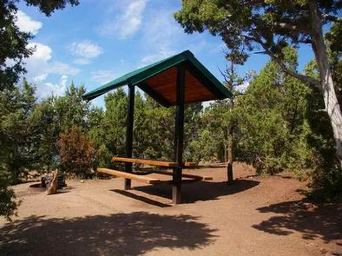
Site mix
| Boat-in | 8 |
Site guide
8 sites. Tap a filter to narrow the list; the map follows.
| Site | Surface | Shade | People / vehicles |
|---|---|---|---|
| 1 | Gravel | Full | 10 / – |
| 2 | Gravel | Full | 10 / – |
| 3 | Gravel | Full | 10 / – |
| 4 | Gravel | Full | 10 / – |
| 5 | Gravel | Full | 10 / – |
| 6 | Gravel | Full | 10 / – |
| 7 | Gravel | Full | 10 / – |
| 8 | Gravel | Full | 10 / – |
Per-site records as published by the managing agency on Recreation.gov. Blank cells mean the agency listed nothing for that site. Check-in 2:00 PM, checkout 1:00 PM.
Amenities & rules
| Max vehicle length | 36 ft |
| Equipment | Tents |
| Pets | Allowed |
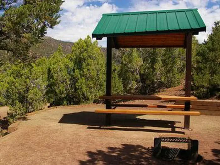
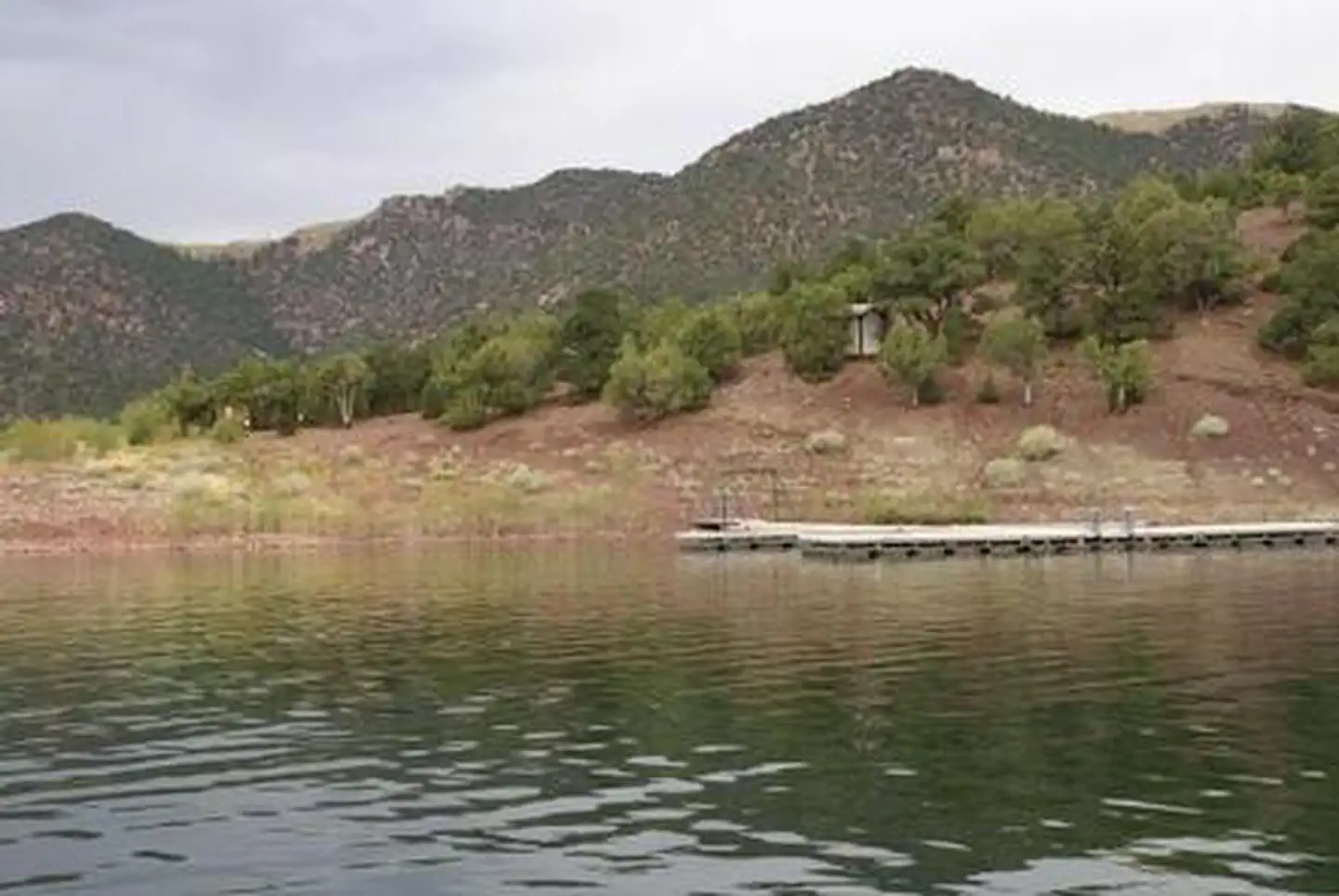
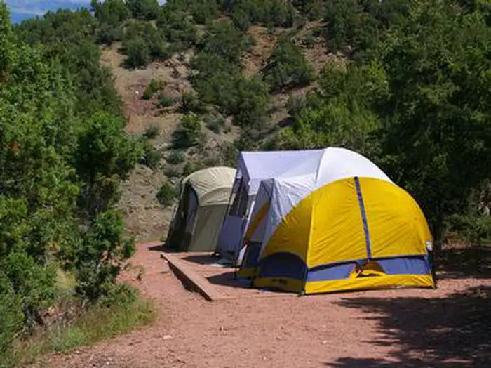
Jarvies offers eight single-family sites, all of which are reservable. Each site has a picnic shelter, table, tent pad and campfire ring with grill. One vault toilet is provided. A private dock is down a short hill on the shoreline.
Individual sites vary. Confirm on Recreation.gov or with the managing office.
Weather by month
Getting there
Cedar Springs Marina is the closest boat ramp that you may launch from to get to Jarvies. Jarvies Canyon is the first canyon west and a little north of the marina and is only accessed by boat. From Vernal, Utah, take U.S. 191 north 42 miles. Turn north onto Forest Road 183 and travel approximately 2 miles to Cedar Springs Marina.
| Nearest town | Manila, Utah |
| Coordinates | 40.9294° N, 109.4778° W · Directions ↗ |
Fire nearby
- PrescribedD1 Pondo Rx
5 mi from the campground · 532 acres
- PrescribedHole In The Rock Rx
35 mi from the campground · 85 acres
- PrescribedMiddle Beaver Rx
37 mi from the campground · 50 acres
- PrescribedWestern Roughneck Rx
46 mi from the campground · 472 acres
Distance is to the reported incident point, not the fire edge. Call the managing office before you drive.
Supplies & services
| Dump station | Dump station ↗ | 2.5 mi |
| Outdoor gear | Redneck Archery and Pro Shop ↗ | 32.8 mi |
| RV sales & service | RV sales & service ↗ | 49.2 mi |
Locations © OpenStreetMap contributors. Call ahead; hours change seasonally.
Explore
Worth a stop
Flaming Gorge Dam offers guided tours of the working hydroelectric plant and the dam, and the adjacent visitor center contains area history exhibits. The Green River below the dam provides spectacular rafting opportunities. A trip down the river offers unique geology, outlaw history and Native American rock art.
- 2 miSunny Cove Swim Beach ↗Swimming
- 3.2 miSpillway Boat Launch Area ↗Boat launch
- 9.7 miHighline Trailhead ↗Trailhead
- 10.3 miSheep Creek Boat Launch Area ↗Boat launch
- 10.4 miEast Park Junction Trailhead ↗Trailhead
- 10.7 mi
Trails nearby
- 2.2 miBear Canyon-Bootleg X-C Ski1.5 mi trail · snowshoe, ski
- 2.2 miBear Canyon-Bootleg1.5 mi trail · hiking, horse, bike
- 2.7 miLowline Historic ↗6.8 mi trail · hiking, horse, bike
- 3.2 miSwett Ranch2.7 mi trail · hiking, horse, bike, e-bike
- 3.3 miLittle Hole ↗7.2 mi trail · hiking · national_recreation_or_other
- 3.4 miDon Hatch Spur1.8 mi trail · snowmobile, snowshoe, ski
Trail and trailhead records are the Forest Service's. Distances are straight-line to the nearer trail end. Trail conditions are not tracked here.
Public land it sits in
Ashley National Forest begins about 11.5 miles away, and it is the closest of these.
- 11.5 miAshley National Forest ↗National Forest · Forest Service · 1,401,248 acres
Each unit is published as a centre point and an acreage rather than a boundary, so this section stands it in for a circle of the same area. Whether a campground is inside, and how far it is from one it is outside, are both approximate.
Other campgrounds nearby

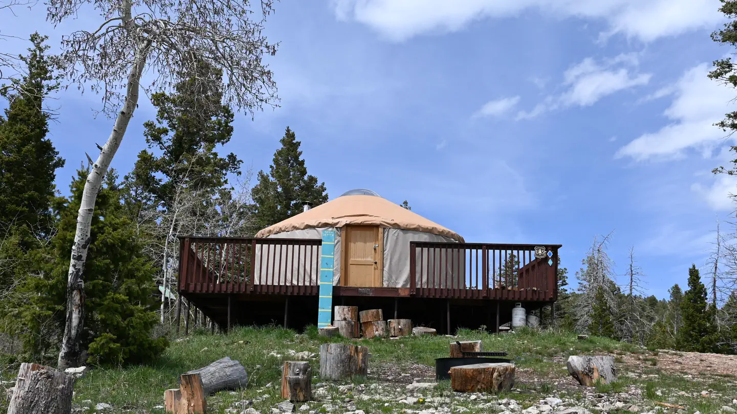
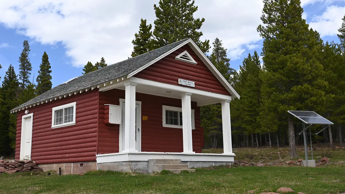
Cabin and lookout rentals nearby
Natural features
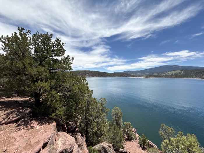
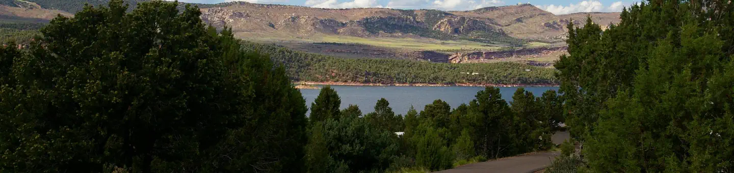
The campground is situated among dense stands of juniper and pinyon pine on a hillside overlooking the reservoir. The vegetation offers good privacy between campsites but limited shade. Most sites have partial views of the reservoir and its surrounding red cliffs.
Recreation
Boating, water skiing, fishing and swimming are popular activities, all located steps from the campsites. A hiking trail passes through the site as well.
Guidebooks for Utah
We earn a small commission if you buy through these links. It does not change what we list.


Titles come from Open Library's catalog, matched by subject heading or by title.
Reference
Questions people ask
Do I need a reservation at Jarvies Family Boat In?
Sites at Jarvies Family Boat In are reservable on Recreation.gov. Any walk-up sites are listed on the booking page.
Source: Recreation.gov
What time is check-in at Jarvies Family Boat In?
Check-in 2:00 PM, checkout 1:00 PM.
Source: Recreation.gov
How many sites does Jarvies Family Boat In have?
8 sites, including 8 boat-in sites.
Source: Recreation.gov
Will my RV fit at Jarvies Family Boat In?
The longest site here provides 36 feet of vehicle capacity. Most sites are shorter. The sidebar tool checks a trailer or motorhome length against every site.
Source: Will my RV fit
Are pets allowed at Jarvies Family Boat In?
Yes, pets are allowed at Jarvies Family Boat In. Leash rules apply.
Source: Recreation.gov
Is there cell service at Jarvies Family Boat In?
FCC coverage maps show AT&T 4G LTE and T-Mobile 5G at the campground point. Terrain changes that from one site to the next.
Source: FCC Broadband Map
What is there to do at Jarvies Family Boat In?
Boating, water skiing, fishing and swimming are popular activities, all located steps from the campsites. The Recreation section on this page has the rest.
Source: Recreation
What is the nearest town to Jarvies Family Boat In?
Manila, Utah. Flaming Gorge Dam offers guided tours of the working hydroelectric plant and the dam, and the adjacent visitor center contains area history exhibits.
Source: Getting there
What if Jarvies Family Boat In is full?
The nearest public campgrounds are Jarvies Canyon Boat-In Campground (under 0.1 mi), Jarvies Boat In Group (0.2 mi), and Mustang Ridge Campground (2 mi, partly first-come).
Source: Campgrounds nearby