Briar Bottom Group Campground
Briar Bottom Group Campground is the perfect getaway for visitors to enjoy mountain scenery and easy access to hiking trails. The campground sits at the base of Mt. Mitchell, the highest peak east of the Mississippi River, in Pisgah National Forest.
More like this: reservable in North Carolina · tent only in North Carolina · pets allowed in North Carolina · group sites in North Carolina
Check availability on Recreation.gov ↗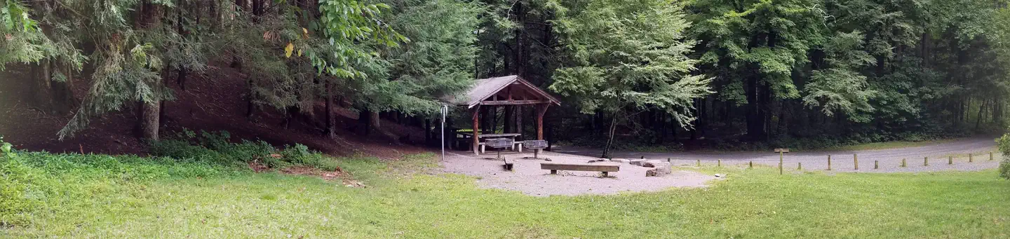
Site mix
| Group tent areas | 6 |
Site guide
6 sites in 6 loops. Tap a filter to narrow the list; the map follows.
| Site | Loop | Surface | Shade | People / vehicles | Fires | Accessible |
|---|---|---|---|---|---|---|
| ASH | ASH | Gravel | Full | 30 / 10 | Yes | Yes |
| DOGWOOD | DOGW | Gravel | Full | 30 / 10 | Yes | Yes |
| LAUREL | LAUR | Gravel | Full | 30 / 10 | Yes | Yes |
| MAPLE | MAPL | Gravel | Full | 30 / 10 | Yes | Yes |
| POPLAR | POPL | Gravel | Full | 30 / 10 | Yes | Yes |
| RED OAK | ROAK | Gravel | Full | 30 / 10 | Yes | Yes |
Per-site records as published by the managing agency on Recreation.gov. Blank cells mean the agency listed nothing for that site. Check-in 2:00 PM, checkout 12:00 PM.
Amenities & rules
| Equipment | Tents |
| Pets | Allowed |
| Campfires | Allowed, subject to restrictions |
| Accessibility | Sites ASH, DOGWOOD, LAUREL, MAPLE and 2 more are listed accessible |
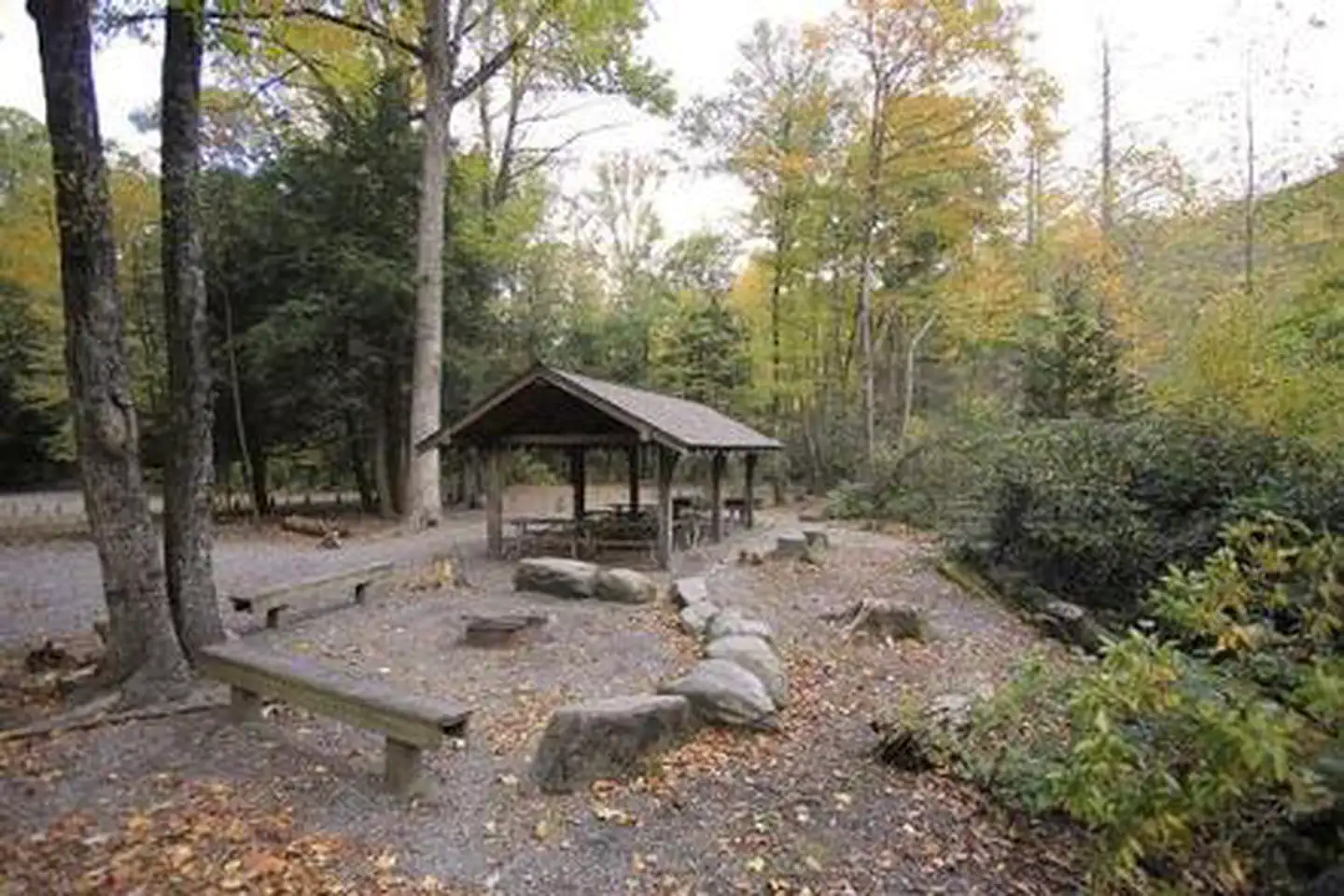
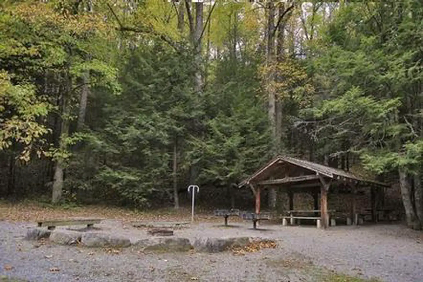
The facility has six separate campsites; each can accommodate up to 30 people. Sites are organized around a single loop with individual parking spurs, providing plenty of space for tents. The campground is equipped with flush toilets and campers can use showers at the adjacent Black Mountain Campground. A campground host is available for visitor assistance.
Individual sites vary. Confirm on Recreation.gov or with the managing office.
Season & status
| Status | Closed for the season. Forest Service sites close for the season; check the official page for the reopening date. |
| Season | April 14 to Oct 30 |
| Forest | National Forests in North Carolina |
| Fees | This is a reservation only campsite. |
Weather by month
Getting there
From Asheville, North Carolina, take I-26 west to exit 9 onto 19 east toward Burnsville. Follow 19 to Micaville and turn right onto Highway 80. Continue south approximately 12-14 miles to Mount Mitchell Golf Course. Turn right on South Toe River Road and follow signs to Black Mountain Campground.
| Nearest town | Burnsville, North Carolina |
| Coordinates | 35.7528° N, 82.2214° W · Directions ↗ |
Fire nearby
- PrescribedRx - Stone Mountain
32 mi from the campground
Distance is to the reported incident point, not the fire edge. Call the managing office before you drive.
Supplies & services
| RV sales & service | Bobs RV Body Shop & Service Center ↗ | 8.5 mi |
| Outdoor gear | Take A Hike Outfitters ↗ | 10.9 mi |
| Dump station | RV Dump ↗ | 29.5 mi |
Locations © OpenStreetMap contributors. Call ahead; hours change seasonally.
Explore
Video
Black Mountain Camping, Briar Bottom Campground
Worth a stop
Groups can easily head out for a day of scenic driving along Blue Ridge Parkway or hiking in Mount Mitchell State Park.
- 8.2 miOld Fort Picnic Area ↗Day use
- 11.8 mi
Trails nearby
- under 0.1 miDevils Den Nature0.6 mi trail · hiking, horse, bike
- 0.1 miNorth River Loop1.7 mi trail · hiking, horse, bike
- 0.1 miBriar Bottom Bike0.6 mi trail · hiking, horse, bike
- 0.1 miGreen Knob2.8 mi trail · hiking, horse, bike
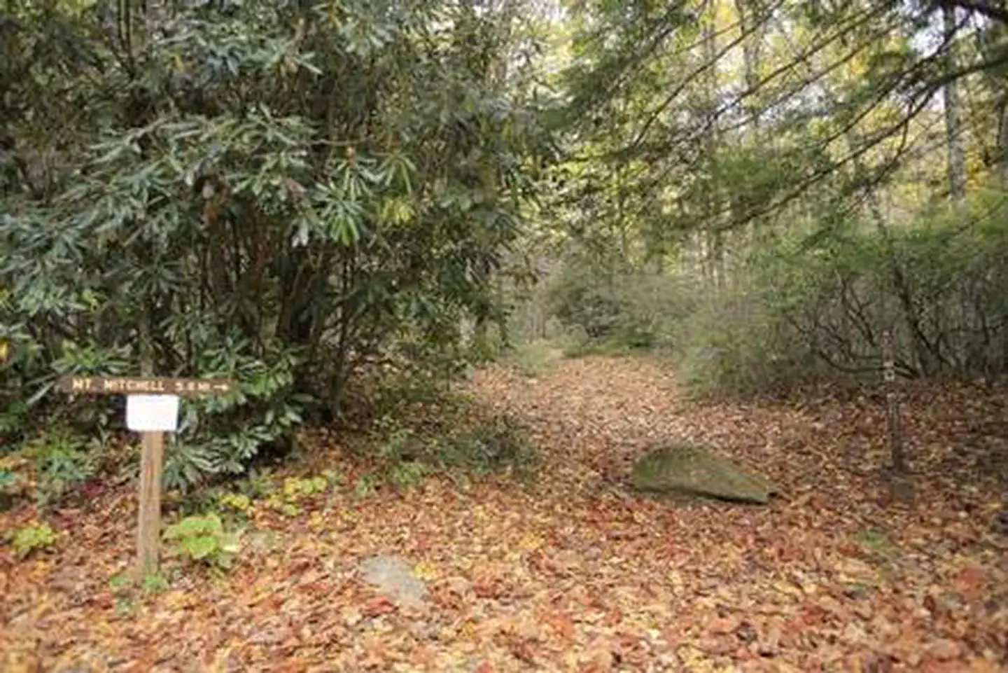
- 0.2 miMt. Mitchell ↗5.4 mi trail · hiking, horse, bike
- 0.3 miSetrock0.2 mi trail · hiking, horse, bike
Trail and trailhead records are the Forest Service's. Distances are straight-line to the nearer trail end. Trail conditions are not tracked here.
Other campgrounds nearby
Historic landmarks nearby

Natural features
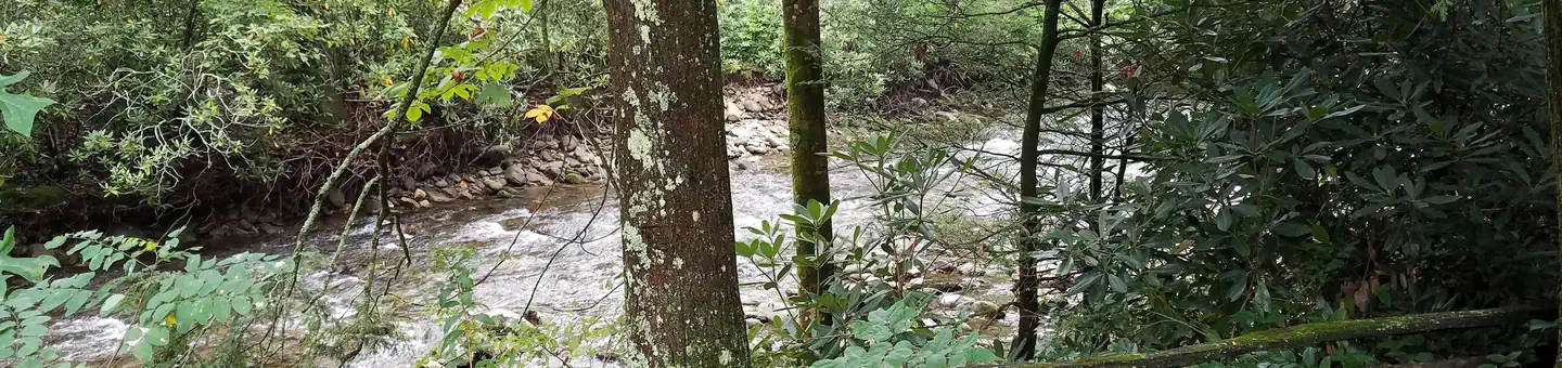
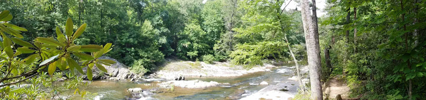
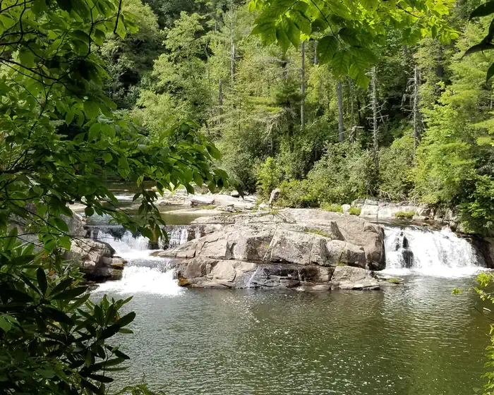
The campground sits at an elevation of 3,040 feet. The 6,684-foot Mt. Mitchell towers over the area, with several other high peaks of the Black Mountains nearby. The lush forest in this part of the Appalachian Mountains is rich with wildlife, plants and scenery.
Recreation
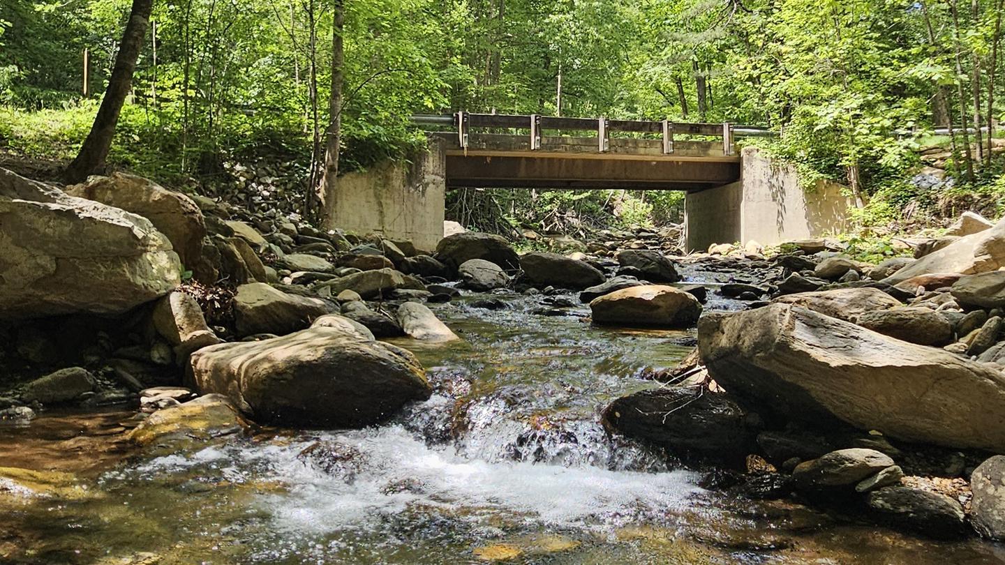
With the South Toe River located near the campground, visitors will have no shortage of things to do, including picnicking, day hiking, scenic driving and trout fishing. Hikers will be pleased with a variety of trails from which to choose, including a leisurely half-mile walk through the forest or a challenging 5.6-mile hike up Mt. Mitchell. The adjacent Black Mountain Campground has a playing field, volleyball courts and horseshoe pit available.
Guidebooks for North Carolina
We earn a small commission if you buy through these links. It does not change what we list.
- Great Day Hikes on North Carolina's Mountains-To-Sea TrailFriends of the Mountains-to-Sea Trail and Jim Grode, 2020Find at Bookshop.org
Titles come from Open Library's catalog, matched by subject heading or by title.
Reference
Questions people ask
Do I need a reservation at Briar Bottom Group Campground?
Sites at Briar Bottom Group Campground are reservable on Recreation.gov. Any walk-up sites are listed on the booking page.
Source: Recreation.gov
How much does it cost to camp at Briar Bottom Group Campground?
This is a reservation only campsite.
Source: Recreation.gov
What time is check-in at Briar Bottom Group Campground?
Check-in 2:00 PM, checkout 12:00 PM.
Source: Recreation.gov
Is Briar Bottom Group Campground open right now?
Closed for the season as of Oct 16, 2026. Season April 14 to Oct 30.
Source: Forest Service status
How many sites does Briar Bottom Group Campground have?
6 sites, including 6 group tent areas.
Source: Recreation.gov
Can I bring an RV to Briar Bottom Group Campground?
Briar Bottom Group Campground is listed for tents only.
Source: Recreation.gov
Are there showers or a dump station at Briar Bottom Group Campground?
The campground is equipped with flush toilets and campers can use showers at the adjacent Black Mountain Campground.
Source: Recreation.gov
Are pets allowed at Briar Bottom Group Campground?
Yes, pets are allowed at Briar Bottom Group Campground. Leash rules apply.
Source: Recreation.gov
Can I have a campfire at Briar Bottom Group Campground?
Fires are allowed in the provided rings under normal conditions. As of 2026-10-16, there is 1 active fire within 50 miles, so check current restrictions before you light one.
Source: Fire nearby
Are there accessible sites at Briar Bottom Group Campground?
Sites ASH, DOGWOOD, LAUREL, and MAPLE are listed accessible on Recreation.gov, 6 sites in all. What that covers (a paved pad, an accessible table, a nearby accessible restroom) is on each site's booking page.
Source: Recreation.gov
What is there to do at Briar Bottom Group Campground?
With the South Toe River located near the campground, visitors will have no shortage of things to do, including picnicking, day hiking, scenic driving and trout fishing. The Recreation section on this page has the rest.
Source: Recreation
What is the nearest town to Briar Bottom Group Campground?
Burnsville, North Carolina. Groups can easily head out for a day of scenic driving along Blue Ridge Parkway or hiking in Mount Mitchell State Park.
Source: Getting there