Burchfield Branch Park
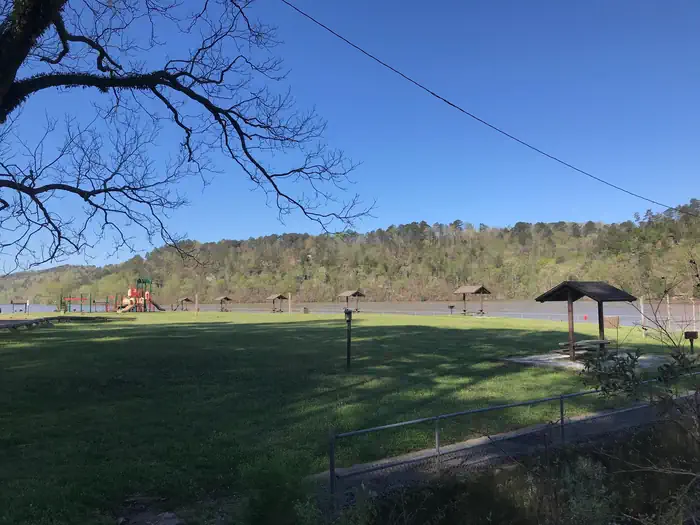
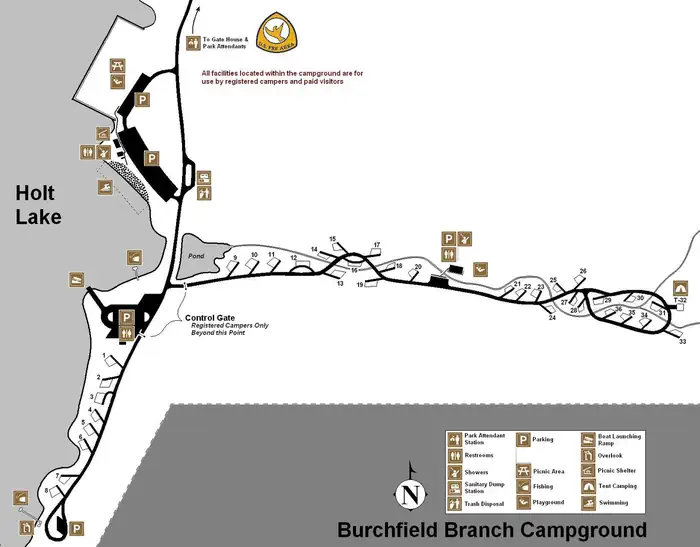
Burchfield Branch Park is located near Holt Lake on the Black Warrior-Tombigbee Waterway northeast of Tuscaloosa, Alabama. With many amenities, access to the water and opportunities to view wildlife, Burchfield Branch provides a convenient camping spot for families, boaters, swimmers, picnickers and sightseers.
More like this: electric hookups in Alabama · full hookups in Alabama · reservable in Alabama · big rigs in Alabama · pets allowed in Alabama · group sites in Alabama
Check availability on Recreation.gov ↗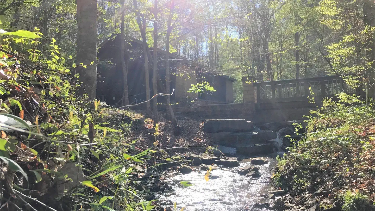
Site mix
| Standard with electric | 35 |
| group shelter electric | 1 |
| tent only electric | 1 |
Site guide
37 sites. Tap a filter to narrow the list; the map follows.
| Site | Type | Entry | Fits, ft | Surface | Shade | Power | Water / sewer | People / vehicles | Fires | Accessible |
|---|---|---|---|---|---|---|---|---|---|---|
| 01 | Electric | Back-in | 50 | Paved | Full | 50 amp | Yes / Yes | 8 / 2 | Yes | Yes |
| 02 | Electric | Back-in | 45 | Paved | Full | 50 amp | Yes / – | 8 / 2 | Yes | Yes |
| 03 | Electric | Back-in | 65 | Paved | Full | Yes | Yes / – | 8 / 2 | Yes | Yes |
| 04 | Electric | Back-in | 70 | Paved | Full | 50 amp | Yes / – | 8 / 2 | Yes | |
| 05 | Electric | Back-in | 50 | Paved | Partial | 50 amp | Yes / – | 8 / 2 | Yes | |
| 06 | Electric | Back-in | 50 | Paved | Partial | 50 amp | Yes / – | 8 / 2 | Yes | |
| 07 | Electric | Back-in | 60 | Paved | Partial | 50 amp | Yes / – | 8 / 2 | Yes | Yes |
| 08 | Electric | Back-in | 40 | Paved | Partial | 50 amp | Yes / – | 8 / 2 | Yes | |
| 09 | Electric | Back-in | 65 | Paved | Partial | 50 amp | Yes / – | 8 / 2 | Yes | Yes |
| 10 | Electric | Back-in | 60 | Paved | Full | 50 amp | Yes / – | 8 / 2 | Yes | Yes |
Per-site records as published by the managing agency on Recreation.gov. Blank cells mean the agency listed nothing for that site. Check-in 4:00 PM, checkout 3:00 PM.
Amenities & rules
| Hookups | Electric, water, sewer |
| Max vehicle length | 95 ft |
| Equipment | RVs & trailers, Tents |
| Pets | Allowed |
| Campfires | Allowed, subject to restrictions |
| Accessibility | Sites 01, 02, 03, 07 and 24 more are listed accessible |
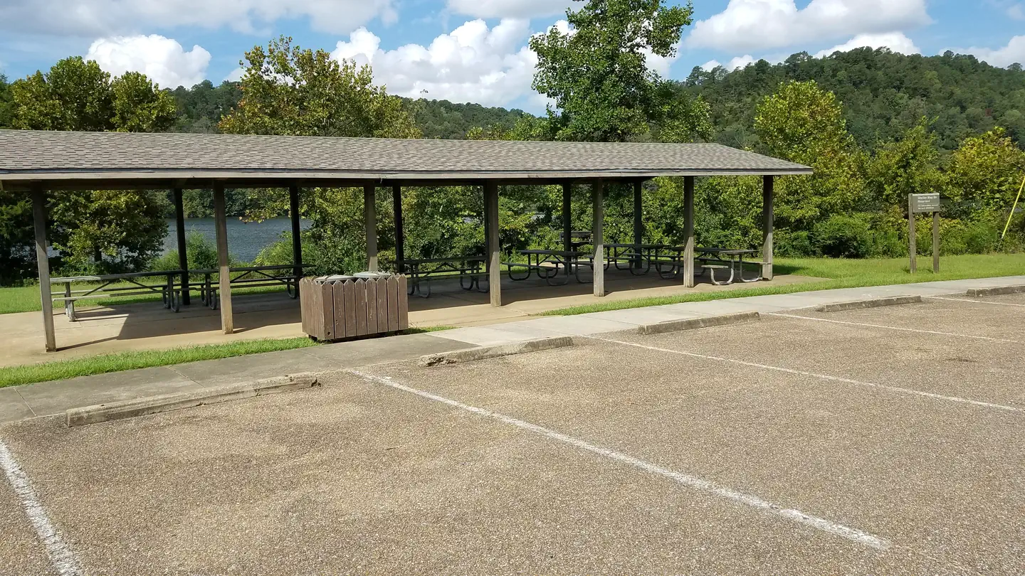
Burchfield Branch Park has 36 sites with electric and water hookups, as well as one reservable group picnic shelter for day use. RV campers have the convenience of hot showers, a dump station and trash receptacles.
Individual sites vary. Confirm on Recreation.gov or with the managing office.
Weather by month
Getting there
From Tuscaloosa, Alabama: From I-59, take exit 86 toward Brookwood on Tuscaloosa County Road 59. Turn right at the traffic light in Brookwood on highway 216. Turn left (northeast) onto County Road 59, then turn left at the stop sign onto Lock 17 Road.
| Nearest town | Adger, Alabama |
| Coordinates | 33.4400° N, 87.3721° W · Directions ↗ |
Supplies & services
| RV sales & service | Country Roads RV ↗ | 17.7 mi |
| Outdoor gear | Black Warrior Outdoor ↗ | 19.3 mi |
| Dump station | Dump station ↗ | 38.6 mi |
Locations © OpenStreetMap contributors. Call ahead; hours change seasonally.
Explore
Video
Burchfield Branch Park (ACOE) | Campground Drive Through
Worth a stop
- 0.6 mi
Other campgrounds nearby


Historic landmarks nearby

Natural features
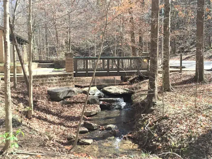
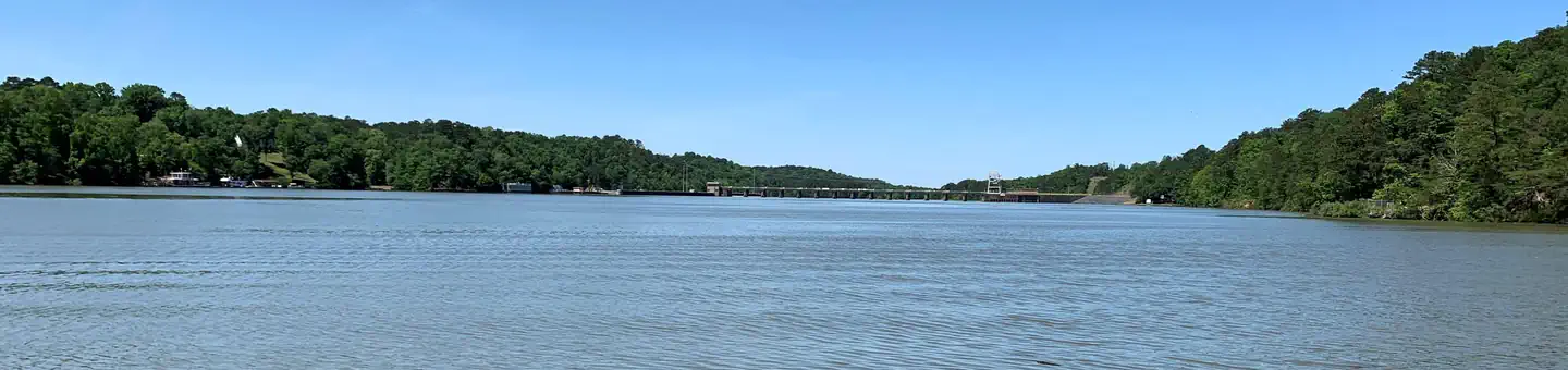
Holt Lake was created by the damming of the Black Warrior River. The campground is situated along the forested shores of the river and displays scenic fall foliage each year. Deer, squirrel, wild turkey, migratory birds and blue birds live around the Holt Lake area. Black Warrior-Tombigbee Waterway consists of six lakes with a total length of 457 miles and 39,800 surface acres of water. Temperatures range from the 80s to 90s from April through September, and annual rainfall averages about 60 inches.
Recreation
Fishing is the most popular activity on the waterway. Whether fishing by boat or along the shore of the park, anglers can find bass, crappie, bream, catfish and more. Families can enjoy biking and swimming along the lakeshore, watching for birds and animals or taking advantage of the facility's two playgrounds.
Guidebooks for Alabama and the South
We earn a small commission if you buy through these links. It does not change what we list.
Titles come from Open Library's catalog, matched by subject heading or by title.
Reference
Questions people ask
Do I need a reservation at Burchfield Branch Park?
Sites at Burchfield Branch Park are reservable on Recreation.gov. Any walk-up sites are listed on the booking page.
Source: Recreation.gov
What time is check-in at Burchfield Branch Park?
Check-in 4:00 PM, checkout 3:00 PM.
Source: Recreation.gov
How many sites does Burchfield Branch Park have?
37 sites, including 35 standard sites with power, 1 group shelter electric, and 1 tent only electric.
Source: Recreation.gov
Will my RV fit at Burchfield Branch Park?
Recreation.gov lists no practical vehicle capacity limit for the largest site here, which usually means pull-through or open parking. The sidebar tool checks a trailer or motorhome length against every site.
Source: Will my RV fit
Does Burchfield Branch Park have hookups?
Yes, electric, water, and sewer hookups at some sites.
Source: Recreation.gov
Are there showers or a dump station at Burchfield Branch Park?
RV campers have the convenience of hot showers, a dump station and trash receptacles.
Source: Recreation.gov
Are pets allowed at Burchfield Branch Park?
Yes, pets are allowed at Burchfield Branch Park. Leash rules apply.
Source: Recreation.gov
Can I have a campfire at Burchfield Branch Park?
Fires are allowed in the provided rings under normal conditions.
Source: Recreation.gov
Are there accessible sites at Burchfield Branch Park?
Sites 01, 02, 03, and 07 are listed accessible on Recreation.gov, 28 sites in all. What that covers (a paved pad, an accessible table, a nearby accessible restroom) is on each site's booking page.
Source: Recreation.gov
What is there to do at Burchfield Branch Park?
Fishing is the most popular activity on the waterway. The Recreation section on this page has the rest.
Source: Recreation
What is the nearest town to Burchfield Branch Park?
Adger, Alabama.
Source: Getting there
What if Burchfield Branch Park is full?
The nearest public campgrounds are Deerlick Creek (12.9 mi), Payne Lake Recreation Area (38.4 mi, first-come), and Clear Creek (40.6 mi).
Source: Campgrounds nearby