Rattlesnake
Rattlesnake Campground is located 13 miles north of Crouch, Idaho along the Middle Fork Payette River at an elevation of 3621 feet. The Middle Fork drainage offers a variety of excellent trails. Fishing and hunting are popular activities as well.
More like this: reservable in Idaho · big rigs in Idaho · group sites in Idaho
Check availability on Recreation.gov ↗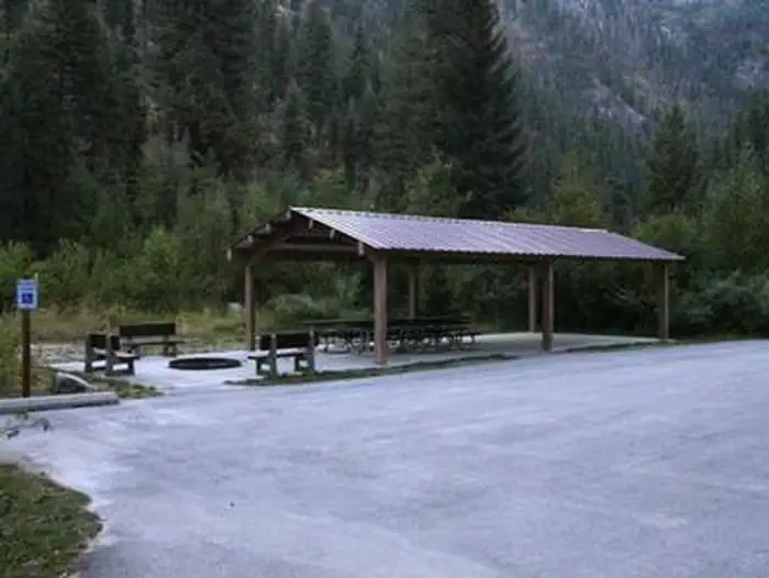
Site mix
| group standard area nonelectric | 1 |
Site guide
Will my RV fit
The longest site here provides 75 feet of vehicle capacity. Most sites are shorter.
1 site. Tap a filter to narrow the list; the map follows.
| Site | Entry | Fits, ft | Surface | Shade | People / vehicles | Accessible |
|---|---|---|---|---|---|---|
| G01 | Back-in | 75 | Gravel | Full | 100 / 25 | Yes |
Per-site records as published by the managing agency on Recreation.gov. Blank cells mean the agency listed nothing for that site. Check-in 2:00 PM, checkout 12:00 PM.
Amenities & rules
| Hookups | None |
| Max vehicle length | 75 ft |
| Equipment | RVs & trailers, Tents |
| Accessibility | Site G01 is listed accessible |
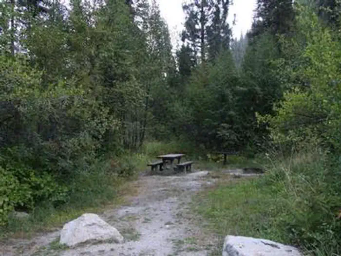
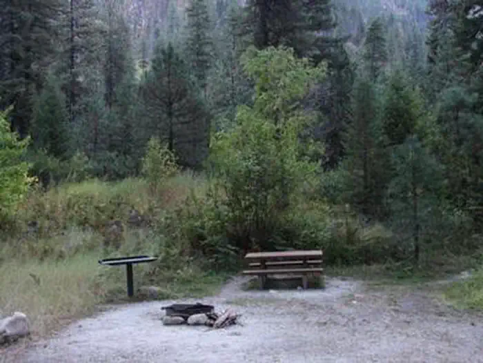
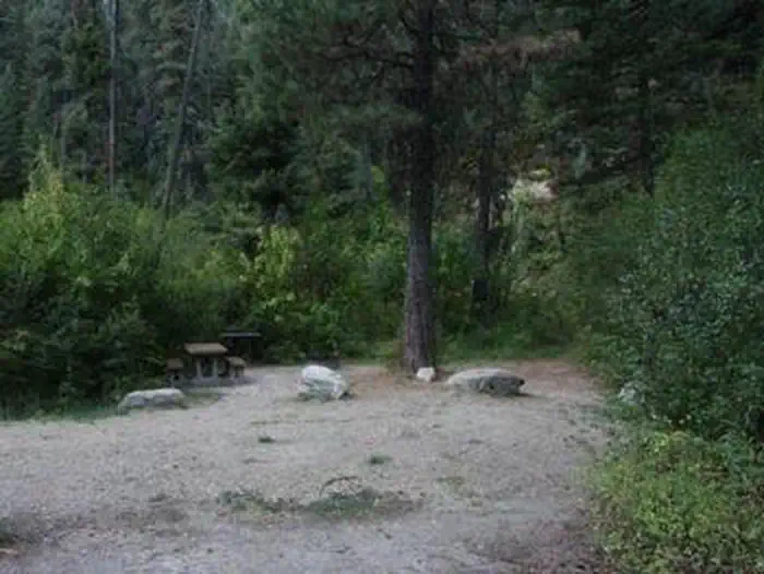
The campground can be reserved as one large, accessible group site, which consists of nine single sites and one double site. This group site can accommodate up to 100 people. A two night minimum stay is required on weekends. A three night minimum stay is required on holiday weekends. Picnic and utility tables, campfire rings and a picnic shelter are provided. Two accessible vault toilets are also provided. Ten parking spurs are available, each 50-75' in length. Additional camping is available at nearby Hardscrabble and Trail Creek Campgrounds.
Individual sites vary. Confirm on Recreation.gov or with the managing office.
Season & status
| Season | MId-May to End of September |
| Forest | Boise National Forest |
| Booking | Reservations can be made at www.recreation.gov or by calling 1-877-444-6777. Campground may be rented as one group site or using several single sites. |
Weather by month
Getting there
From Crouch, travel north on Forest Road 698 approximately 14 miles to the campground, which is located on the left-hand side of the road.
| Nearest town | Emmett, Idaho |
| Coordinates | 44.2659° N, 115.8800° W · Directions ↗ |
Fire nearby
- PrescribedRx Lowman Wui
24 mi from the campground
- PrescribedMill Creek Council Mtn Rx
44 mi from the campground · 1,817 acres
- PrescribedMeadow Marsh Rx
47 mi from the campground · 70 acres
- PrescribedGoose Rx
49 mi from the campground · 529 acres
Distance is to the reported incident point, not the fire edge. Call the managing office before you drive.
Supplies & services
| Outdoor gear | Outdoor gear ↗ | 45.7 mi |
| RV sales & service | Nelson's RV's ↗ | 47.3 mi |
Locations © OpenStreetMap contributors. Call ahead; hours change seasonally.
Explore
Worth a stop
- 3.1 miRattlesnake Trailhead ↗Trailhead
- 6.5 mi
Trails nearby
- 1.6 miTable Mountain ↗12.2 mi trail · hiking, horse, bike, motorcycle and 2 more
- 2.5 miOne-Spoon2.9 mi trail · hiking, horse, bike, motorcycle and 1 more
- 2.7 miUpper Pine Creek ↗10.5 mi trail · hiking, horse, bike, motorcycle and 2 more
- 2.9 miSixmile North Ridge2.3 mi trail · hiking, horse, bike, motorcycle and 2 more
- 3.1 miRattlesnake3.7 mi trail · hiking, horse, bike, motorcycle and 1 more
- 3.3 miSixmile Highlands ↗7.3 mi trail · hiking, horse, bike, motorcycle and 2 more
Trail and trailhead records are the Forest Service's. Distances are straight-line to the nearer trail end. Trail conditions are not tracked here.
Public land it sits in
This campground sits inside Boise National Forest.
- inBoise National Forest ↗National Forest · Forest Service · 2,526,862 acres
Each unit is published as a centre point and an acreage rather than a boundary, so this section stands it in for a circle of the same area. Whether a campground is inside, and how far it is from one it is outside, are both approximate.
Other campgrounds nearby

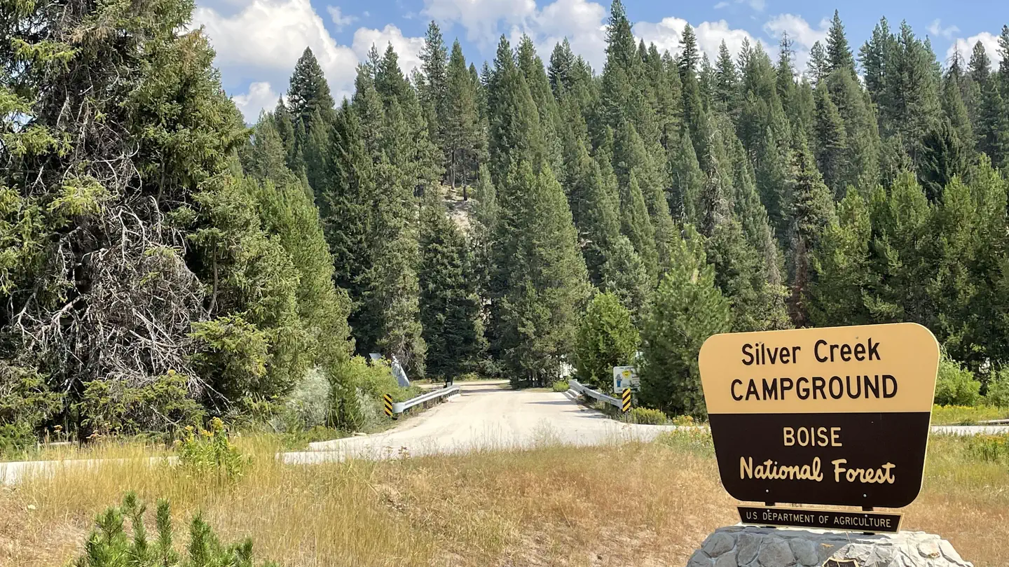
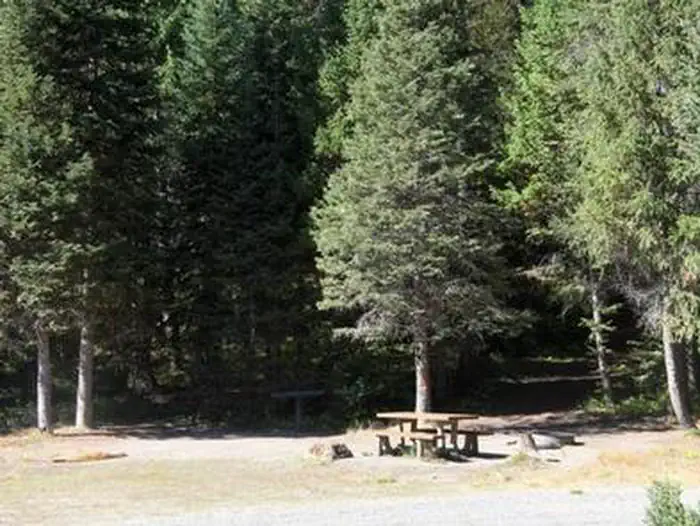
Cabin and lookout rentals nearby
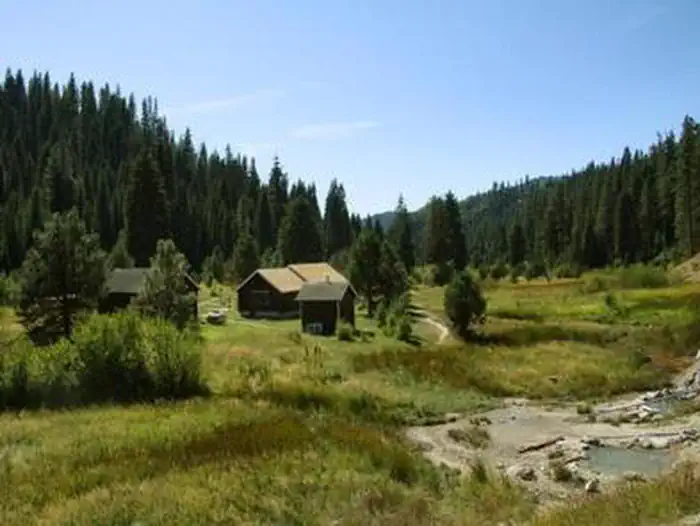
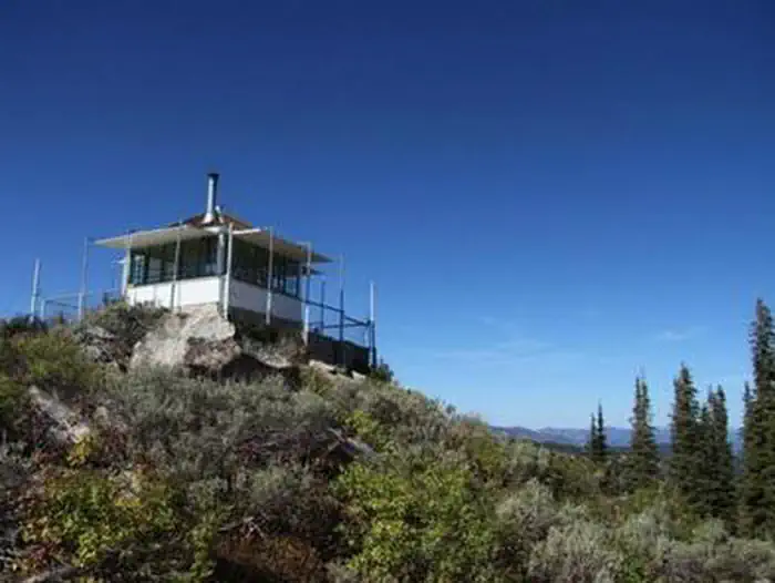
On the National Register nearby
- North Fork Payette River BridgeStructure · Smiths Ferry · 9.8 mi
- Southern Idaho Timber Protective Association (Sitpa) BuildingsHistoric district · Smiths Ferry · 10.7 mi
Natural features
The campground is situated on the banks of the Middle Fork Payette River among Douglas fir and lodgepole pine trees, which offer partial shade. A few sites offer river views through the dense vegetation on the banks. A variety of wildlife makes its home in the Middle Fork drainage, including deer, elk, and red-tailed hawks.
Recreation
The Middle Fork Payette River offers good to excellent fishing most of the year. Anglers cast for whitefish and rainbow trout. Many trails for hiking, mountain biking, horseback and ATV riding can be found in the area. The One Spoon Trail, Rattlesnake Trail, and 465 ATV Trail are all in the vicinity of the campground. In-season big game hunting for deer, elk and bear is a popular activity in the surrounding mountains.
Guidebooks for Idaho
We earn a small commission if you buy through these links. It does not change what we list.

Titles come from Open Library's catalog, matched by subject heading or by title.
Reference
Questions people ask
Do I need a reservation at Rattlesnake?
Sites at Rattlesnake are reservable on Recreation.gov. Reservations can be made at www.recreation.gov or by calling 1-877-444-6777. Any walk-up sites are listed on the booking page.
Source: Recreation.gov
What time is check-in at Rattlesnake?
Check-in 2:00 PM, checkout 12:00 PM.
Source: Recreation.gov
How many sites does Rattlesnake have?
1 site, including 1 group standard area nonelectric.
Source: Recreation.gov
Will my RV fit at Rattlesnake?
The longest site here provides 75 feet of vehicle capacity. Most sites are shorter. The sidebar tool checks a trailer or motorhome length against every site.
Source: Will my RV fit
Are there accessible sites at Rattlesnake?
Site G01 is listed accessible on Recreation.gov. What that covers (a paved pad, an accessible table, a nearby accessible restroom) is on each site's booking page.
Source: Recreation.gov
What is there to do at Rattlesnake?
The Middle Fork Payette River offers good to excellent fishing most of the year. The Recreation section on this page has the rest.
Source: Recreation
What is the nearest town to Rattlesnake?
Emmett, Idaho.
Source: Getting there
What if Rattlesnake is full?
The nearest public campgrounds are Hardscrabble Campground (2.1 mi, first-come), Tie Creek Campground (4.6 mi, first-come), and Silver Creek Campground (5.8 mi, partly first-come).
Source: Campgrounds nearby