Mingus Ranch
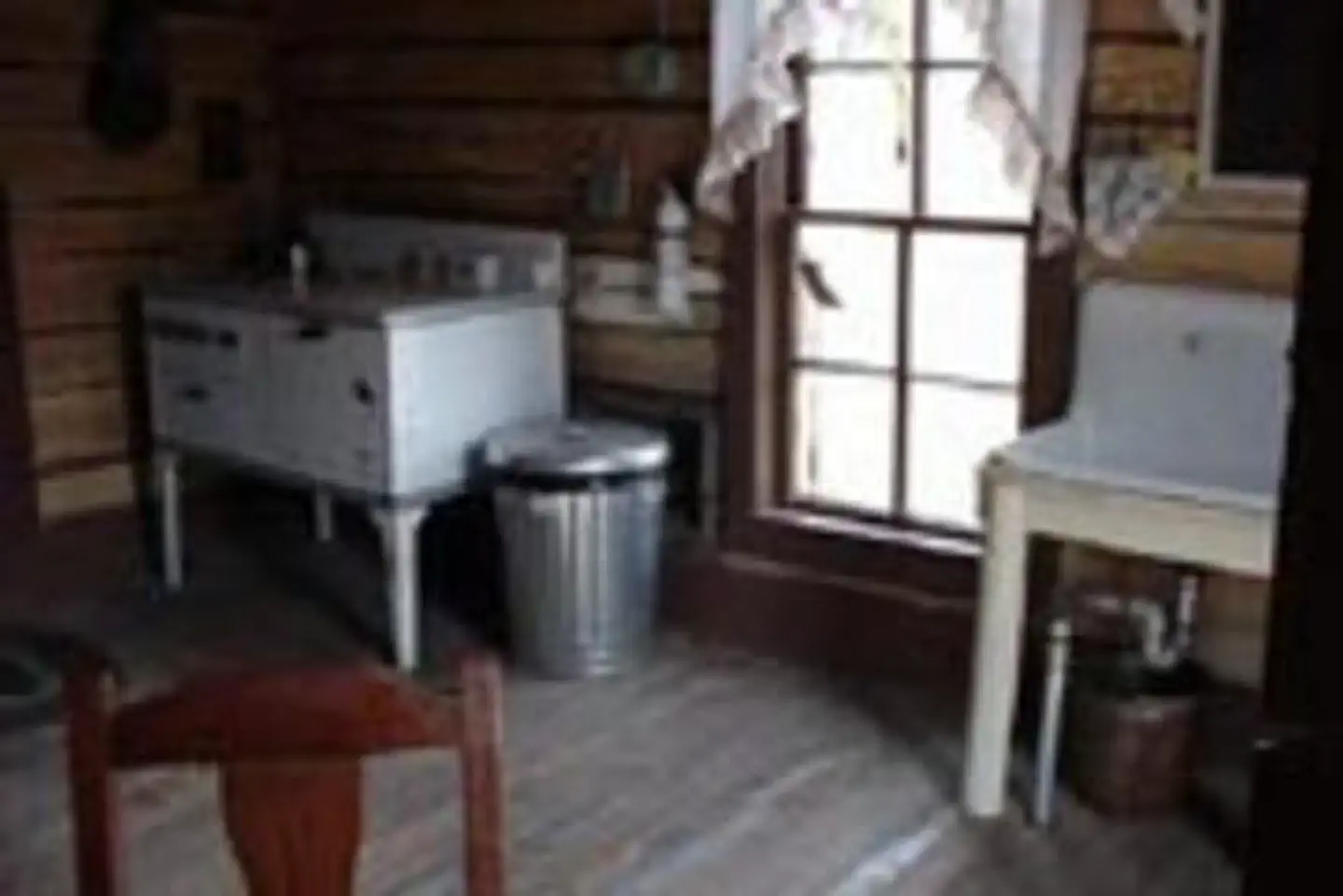
Mingus Ranch is a cabin where guests can step back in time and feel like they're staying on an early 20th century homestead. The cabin was built in 1908 and was operated by the same family for six decades before it became a Forest Service property. In collaboration with the Frontier Pathways Scenic and Historic Byway and the Colorado State Historical Society, the cabin and neighboring barn have been renovated to match their original appearance and filled with period-specific furniture and antiques. Electricity is provided and a horse corral is onsite.
Check availability on Recreation.gov ↗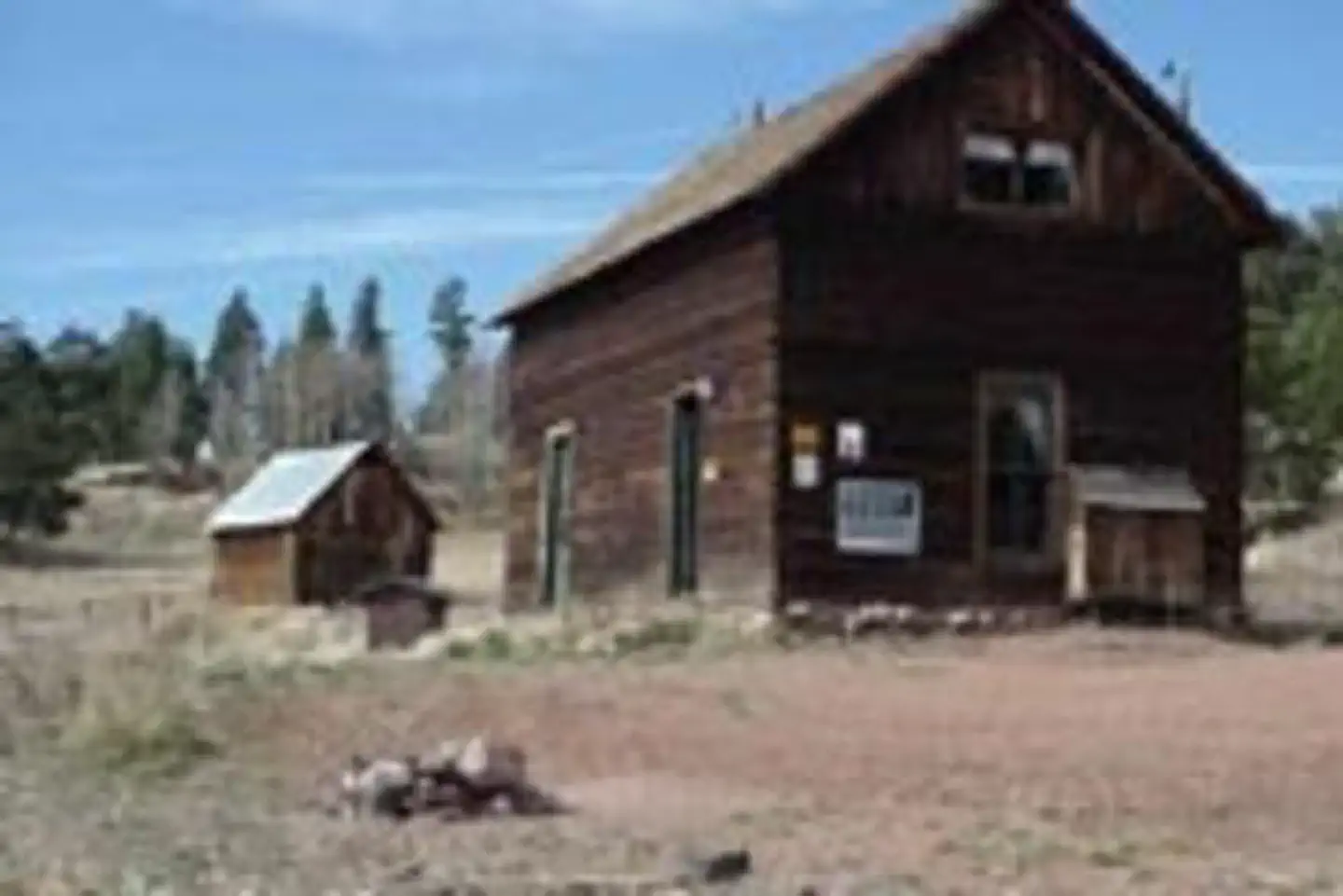
Site mix
| Cabins with electric | 1 |
Site guide
1 site. Tap a filter to narrow the list; the map follows.
| Site | Surface | People / vehicles |
|---|---|---|
| 01 | Gravel | 7 / 3 |
Per-site records as published by the managing agency on Recreation.gov. Blank cells mean the agency listed nothing for that site. Check-in 2:00 PM, checkout 12:00 PM.
Amenities & rules
The modest two-story ranch building is an example of a typical high country ranch. The cabin sleeps six and conveniences include electric heat, an electric stove and minimal electric lighting. A vault toilet, picnic table and campfire ring are located outside, as well as a horse corral. Furnishings consist of one bunk bed, two single beds, a queen sized bed, a kitchen sink not equipped with running water, table and chairs and some cooking pots and utensils. No drinking water is available so it's important to bring plenty. Other items to bring include bedding, food, garbage bags, dish soap, sunscreen and other basic camping gear. There are minimal lights at the facility, so visitors please bring additional light sources. The outhouse is several hundred feet from the cabin. Please leave the cabin as clean as you have enjoyed for the next visitor.
Individual sites vary. Confirm on Recreation.gov or with the managing office.
Weather by month
Getting there
From Pueblo, CO take State Highway 96 approximately 30 miles to the junction of State Highway 165. Travel south on SH 165 for 9 miles. Turn left (east) onto Forest Service Road 383 (Ditch Creek Rd.) and continue 1.5 miles. The two story cabin is on the right. From Interstate 25 south of Pueblo, CO take Exit 74 onto State Highway 165.
| Nearest town | Canon City, Colorado |
| Coordinates | 38.0931° N, 105.1100° W · Directions ↗ |
Charges and cancellations
Change and Cancellation Policies: To ensure fairness, reservation arrival or departure dates may not be changed outside the 6 or 12 month booking window until 18 days after booking the reservation. Camping/Day Use: A $10.00 service fee will apply if you change or cancel your reservation (including campsites, cabins, lookouts, group facilities, etc.). The $10.00 service fee will be deducted from the refund amount. Individual Campsites: A $10.00 service fee plus the first night’s use fee will be charged (not to exceed the total paid for the original reservation) when a reservation is cancelled the day before or the day of arrival, except when the reservation is for a single night, then no service fee applies. Cabins/Lookouts: A $10.00 service fee plus the first night’s cabin or lookout use fee will be charged when a reservation for a cabin or lookout is cancelled within 14 days of the scheduled arrival date.
Fire nearby
- WildfireAspen Acres
6 mi from the campground · 102,007 acres · 90% contained
Distance is to the reported incident point, not the fire edge. Call the managing office before you drive.
Supplies & services
| Outdoor gear | Royal Gorge Rafting ↗ | 24.9 mi |
| Dump station | Dump station ↗ | 32.5 mi |
| RV sales & service | Windish RV Center ↗ | 47.5 mi |
Locations © OpenStreetMap contributors. Call ahead; hours change seasonally.
Explore
Trails nearby
- 0.8 miLeft Hand2 mi trail · hiking, horse, bike, motorcycle and 2 more
- 1.2 miSilver Circle4.3 mi trail · hiking, horse, bike, motorcycle and 2 more
- 1.9 miOphir Creek ↗6.9 mi trail · snowmobile, snowshoe, ski
- 2.2 miMiddle Creek2.4 mi trail · hiking, horse, bike, motorcycle and 2 more
- 2.4 miSecond Mace Spur1 mi trail · hiking, horse, bike, motorcycle and 2 more
- 2.9 miRudolph Mtn3.7 mi trail · hiking, horse, bike
Trail and trailhead records are the Forest Service's. Distances are straight-line to the nearer trail end. Trail conditions are not tracked here.
Public land it sits in
Greenhorn Mountain Wilderness begins about 13.5 miles away, and it is the closest of these.
- 13.5 miGreenhorn Mountain Wilderness ↗Wilderness · Forest Service · 23,116 acres
Each unit is published as a centre point and an acreage rather than a boundary, so this section stands it in for a circle of the same area. Whether a campground is inside, and how far it is from one it is outside, are both approximate.
Other campgrounds nearby


Cabin and lookout rentals nearby

On the National Register nearby
- Wetmore Post OfficeBuilding · Wetmore · 10 mi
Natural features
The cabin is perched in a sprawling meadow at an elevation of 9,400 feet near the base of Round Top Mountain in the heart of the Wet Mountains. Surrounding the meadow are spruce and other mixed conifers. The scenic Greenhorn Mountain is due south.
Recreation
Hiking, mountain biking, horse riding, off-road vehicle riding, hunting and wildlife viewing are all enjoyable activities here. An extensive network of hiking trails and roads for biking are nearby.
Nearby
Westcliffe, a mountain town is 26 miles northwest of the cabin. The town has grocery stores, restaurants, gas stations, banking, a medical clinic, and other amenities. From Mingus Ranch cabin take State Hwy 165 north for 9 miles to the junction of State Highway 96. Then take SH 96 west for 17 miles into Westcliffe. Colorado City, 29 miles south of the cabin on SH 165 has a grocery store, gas stations, and a public golf course.
Guidebooks for Colorado
We earn a small commission if you buy through these links. It does not change what we list.



Titles come from Open Library's catalog, matched by subject heading or by title.
Reference
Questions people ask
Do I need a reservation at Mingus Ranch?
Sites at Mingus Ranch are reservable on Recreation.gov. Any walk-up sites are listed on the booking page.
Source: Recreation.gov
What time is check-in at Mingus Ranch?
Check-in 2:00 PM, checkout 12:00 PM.
Source: Recreation.gov
What does it cost to cancel a reservation at Mingus Ranch?
Camping/Day Use: A $10.00 service fee will apply if you change or cancel your reservation (including campsites, cabins, lookouts, group facilities, etc.).
Source: Charges and cancellations
How many sites does Mingus Ranch have?
1 site, including 1 cabin with power.
Source: Recreation.gov
Is there cell service at Mingus Ranch?
FCC coverage maps show AT&T 4G LTE and T-Mobile 5G at the campground point. Terrain changes that from one site to the next.
Source: FCC Broadband Map
What is there to do at Mingus Ranch?
Hiking, mountain biking, horse riding, off-road vehicle riding, hunting and wildlife viewing are all enjoyable activities here. The Recreation section on this page has the rest.
Source: Recreation
What is the nearest town to Mingus Ranch?
Canon City, Colorado. Westcliffe, a mountain town is 26 miles northwest of the cabin.
Source: Getting there
What if Mingus Ranch is full?
The nearest public campgrounds are Ophir Creek Campground (2.1 mi), Davenport Campground (3.4 mi), and La Vista Campground (8 mi).
Source: Campgrounds nearby