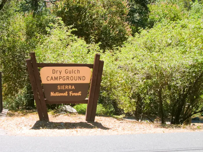
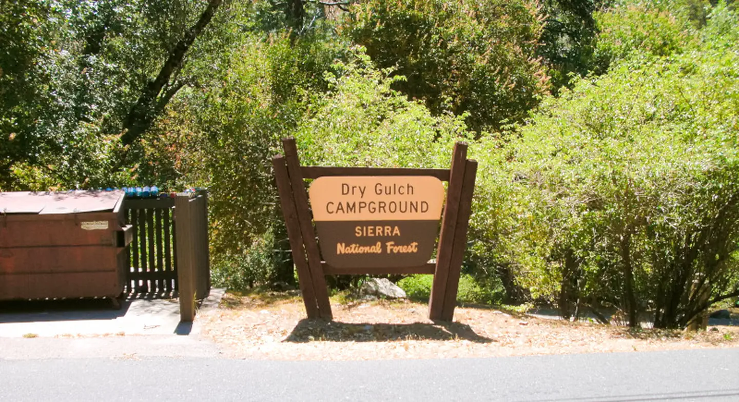
Dry Gulch
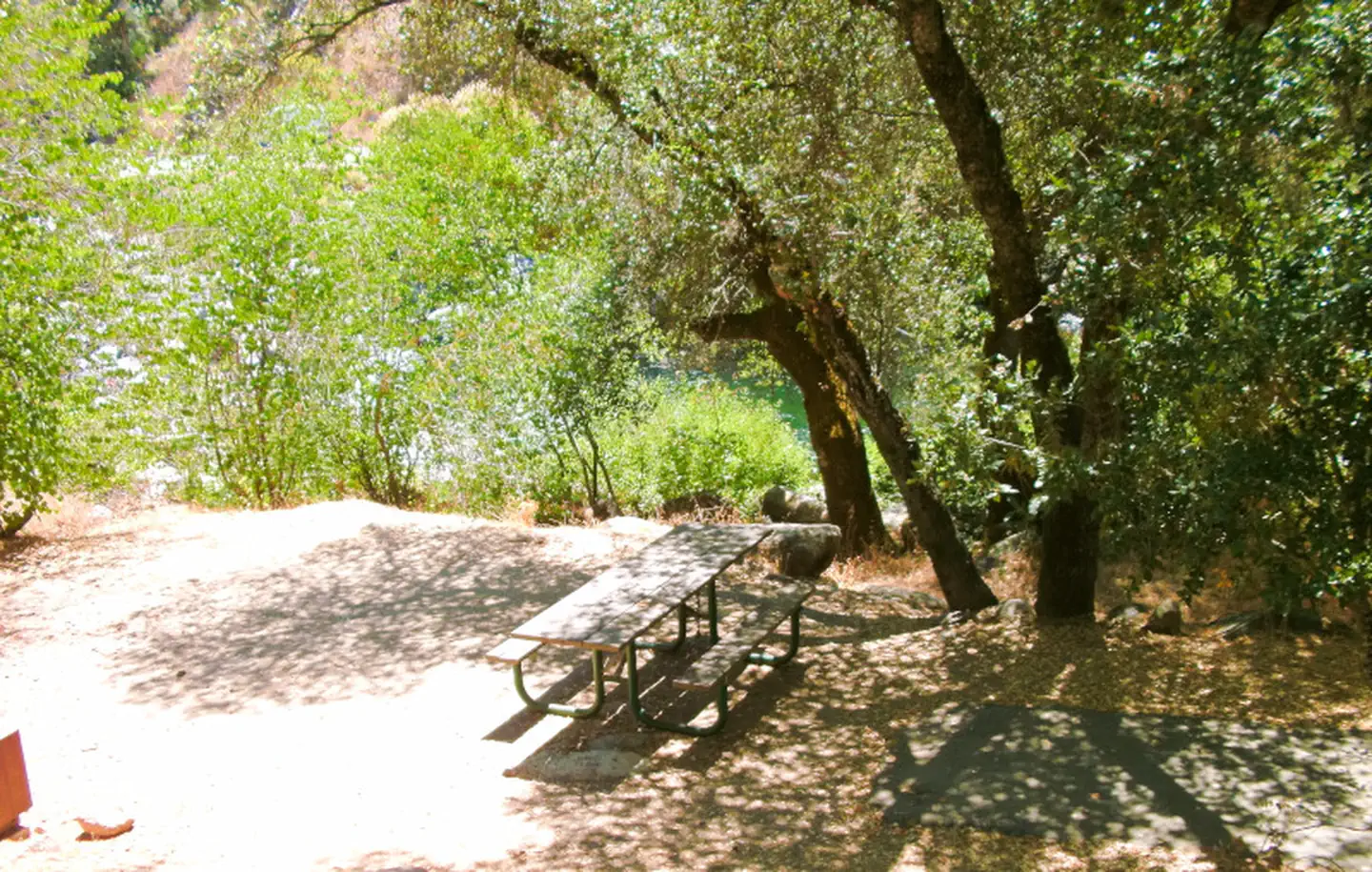
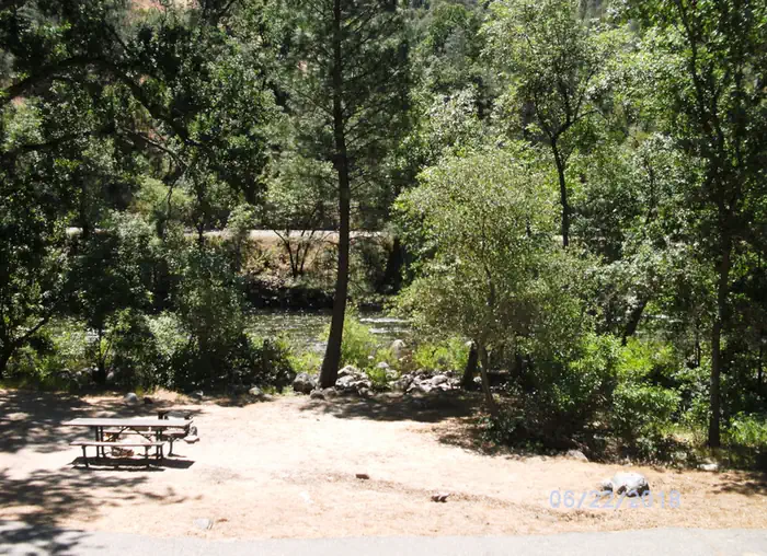
Dry Gulch Campground sits on the north side of the Merced River. The small camp features walk-in tent sites on the river, shaded by a grove of pine and oak trees. Dry Gulch's remote location makes for a quiet and peaceful camping experience.
More like this: reservable in California · tent only in California · pets allowed in California
Check availability on Recreation.gov ↗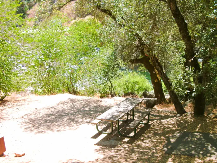
Site mix
| Tent-only | 5 |
Site guide
5 sites. Tap a filter to narrow the list; the map follows.
| Site | Entry | Surface | Shade | People / vehicles | Fires |
|---|---|---|---|---|---|
| FT1-20 | Back-in | Paved | Partial | 6 / 1 | Yes |
| FT1-201 | |||||
| FT1-202 | |||||
| FT1-203 | |||||
| FT1-204 |
Per-site records as published by the managing agency on Recreation.gov. Blank cells mean the agency listed nothing for that site. Check-in 2:00 PM, checkout 12:00 PM.
Amenities & rules
| Equipment | Tents |
| Pets | Allowed |
| Campfires | Allowed, subject to restrictions |
The camping sites at Dry Gulch do meet accessibility standards and offer picnic tables, grills and fire rings. Vault toilets are available.
Individual sites vary. Confirm on Recreation.gov or with the managing office.
Season & status
| Status | Closed for the season. Forest Service sites close for the season; check the official page for the reopening date. |
| Season | Open all year |
| Forest | Sierra National Forest |
| Booking | Through the National Recreation Reservation Service (NRRS) @ 1-877-444-6777 or www.recreation.gov. |
| Fees | $30.00 per night Additional vehicles = $10.00 per vehicle |
| Rules | Maximum length of stay is 14 days Maximum group size is 6 people per site |
Weather by month
Getting there
From Highway 140, turn on to Foresta Road. Landmarks include Red Bud Picnic Area and a National Park Service warehouse. After bridge, turn left onto the spur road. Immediately turn left onto Incline Road. Continue 1.3 miles to the facility.
| Nearest town | El Portal, California |
| Coordinates | 37.6711° N, 119.8362° W · Directions ↗ |
Fire nearby
- WildfireDome
14 mi from the campground · 6,788 acres · 95% contained
Distance is to the reported incident point, not the fire edge. Call the managing office before you drive.
Supplies & services
| Dump station | Dump station ↗ | 13.6 mi |
| Outdoor gear | Mountain Shop & Mountaineering School ↗ | 15.2 mi |
| RV sales & service | Denis RV Center ↗ | 57.9 mi |
Locations © OpenStreetMap contributors. Call ahead; hours change seasonally.
Explore
Video
Dry Gulch campground Radium Hot Springs BC
Worth a stop
This campground is close to the west entrance to Yosemite National Park. Yosemite offers a variety of activities that include scenic driving, picnicking, hiking and fishing.
- 9.2 miBig Oak Flat Information Station ↗Visitor center
- 9.9 miCable Rock Day Use Site ↗Day use
- 10 miCarlon Day Use Area ↗Day use
- 13.6 miWawona Visitor Center At Hill's Studio ↗Visitor center
Trails nearby
- 1.5 miPinoch Ridge ↗5.9 mi trail · hiking, horse, bike
- 2.2 miHite Cove3.3 mi trail · hiking, horse, bike
- 2.2 miHites Cove3.9 mi trail · hiking, horse, bike, motorcycle and 2 more
- 2.7 miNed'S Gulch1.2 mi trail · hiking, horse, bike
- 3.4 miSouth Fork Merced ↗14.1 mi trail · hiking, horse, bike
- 4.3 miSavage/Lundy2.6 mi trail · hiking, horse, bike
Trail and trailhead records are the Forest Service's. Distances are straight-line to the nearer trail end. Trail conditions are not tracked here.
Public land it sits in
Yosemite Wilderness begins about 1.6 miles away, and it is the closest of these.
- 1.6 miYosemite Wilderness ↗Wilderness · National Park Service · 704,624 acres
- 12.5 miStanislaus National Forest ↗National Forest · Forest Service · 1,090,354 acres
Each unit is published as a centre point and an acreage rather than a boundary, so this section stands it in for a circle of the same area. Whether a campground is inside, and how far it is from one it is outside, are both approximate.
Other campgrounds nearby

On the National Register nearby
- El Portal Old SchoolhouseBuilding · El Portal · 2.7 mi
- Bagby Stationhouse, Water Tanks and TurntableHistoric district · El Portal · 3 mi
- Hetch Hetchy Railroad Engine No.6Structure · El Portal · 3.1 mi
Natural features
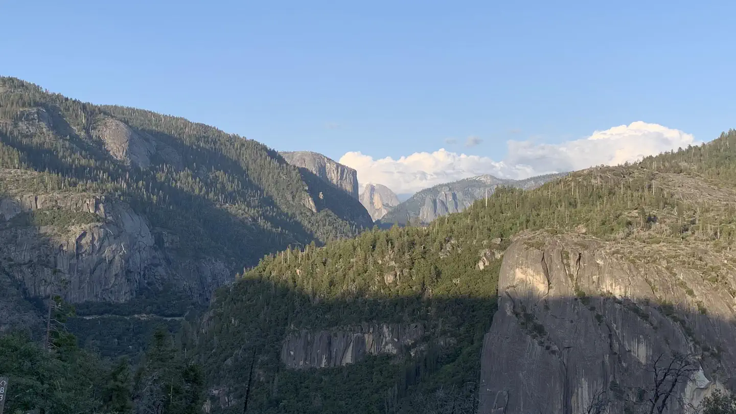
Dry Gulch Campground is located in the Bass Lake Ranger District at an elevation of 3,400 feet. The Lake is a very popular area known for its variety of fish, as well as the bald and golden eagles that make their home here. The Sierra National Forest, located on the western slope of the central Sierra Nevada, is known for its spectacular mountain scenery and abundant natural resources. The terrain includes rolling, oak-covered foothills, heavily forested middle elevation slopes and the starkly beautiful alpine landscape of the High Sierra.
Recreation
During the spring and early summer, the Merced River is a popular location for white water rafting and kayaking. Several private companies offer guided rafting trips.
Guidebooks for California
We earn a small commission if you buy through these links. It does not change what we list.

Titles come from Open Library's catalog, matched by subject heading or by title.
Reference
Questions people ask
Do I need a reservation at Dry Gulch?
Sites at Dry Gulch are reservable on Recreation.gov. Through the National Recreation Reservation Service (NRRS) @ 1-877-444-6777 or www.recreation.gov. Any walk-up sites are listed on the booking page.
Source: Recreation.gov
How much does it cost to camp at Dry Gulch?
$30.00 per night Additional vehicles = $10.00 per vehicle
Source: Recreation.gov
What time is check-in at Dry Gulch?
Check-in 2:00 PM, checkout 12:00 PM.
Source: Recreation.gov
Is Dry Gulch open right now?
Closed for the season as of Oct 16, 2026. Season Open all year.
Source: Forest Service status
How many sites does Dry Gulch have?
5 sites, including 5 tent-only sites.
Source: Recreation.gov
Can I bring an RV to Dry Gulch?
Dry Gulch is listed for tents only.
Source: Recreation.gov
Are pets allowed at Dry Gulch?
Yes, pets are allowed at Dry Gulch. Leash rules apply.
Source: Recreation.gov
Can I have a campfire at Dry Gulch?
Fires are allowed in the provided rings under normal conditions. As of 2026-10-16, there is 1 active fire within 50 miles, so check current restrictions before you light one. Maximum length of stay is 14 days Maximum group size is 6 people per site
Source: Fire nearby
What is there to do at Dry Gulch?
During the spring and early summer, the Merced River is a popular location for white water rafting and kayaking. The Recreation section on this page has the rest.
Source: Recreation
What is the nearest town to Dry Gulch?
El Portal, California. This campground is close to the west entrance to Yosemite National Park.
Source: Getting there
What if Dry Gulch is full?
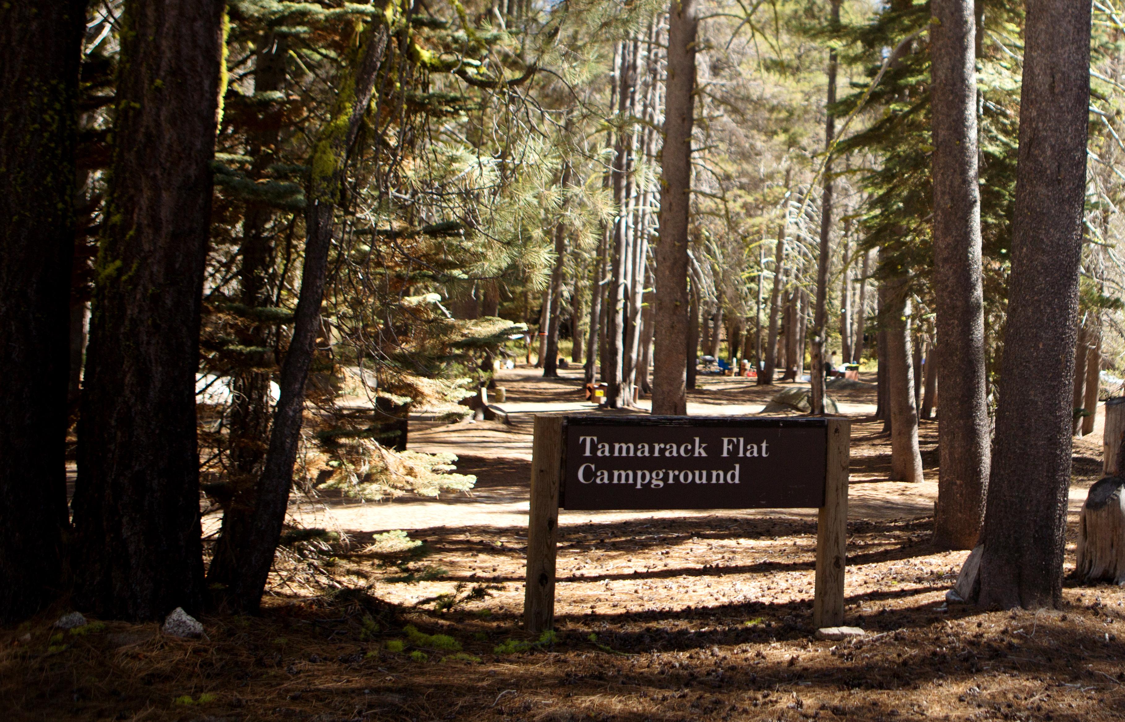
The nearest public campgrounds are Dirt Flat (0.3 mi), Crane Flat Campground (6.4 mi), and Tamarack Flat Campground (7.8 mi).
Source: Campgrounds nearby