Uinta River Group
Uinta River Group Campground is located about 25 miles from Roosevelt near the Uinta River at an elevation of 7,600 feet. Visitors come to enjoy the area's fishing and trail opportunities.
More like this: reservable in Utah · group sites in Utah
Check availability on Recreation.gov ↗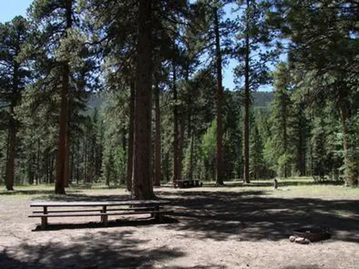
Site mix
| Group sites | 1 |
Site guide
Will my RV fit
The longest site here provides 35 feet of vehicle capacity. Most sites are shorter.
1 site. Tap a filter to narrow the list; the map follows.
| Site | Entry | Fits, ft | Surface | Shade | People / vehicles | Fires |
|---|---|---|---|---|---|---|
| GROUP | Back-in | 35 | Gravel | Full | 150 / 15 | Yes |
Per-site records as published by the managing agency on Recreation.gov. Blank cells mean the agency listed nothing for that site. Check-in 2:00 PM, checkout 1:00 PM.
Amenities & rules
| Hookups | None |
| Max vehicle length | 35 ft |
| Equipment | RVs & trailers, Tents |
| Campfires | Allowed, subject to restrictions |
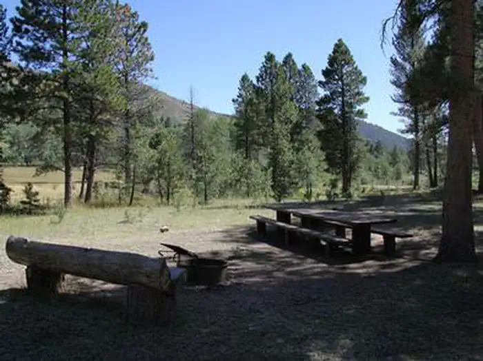
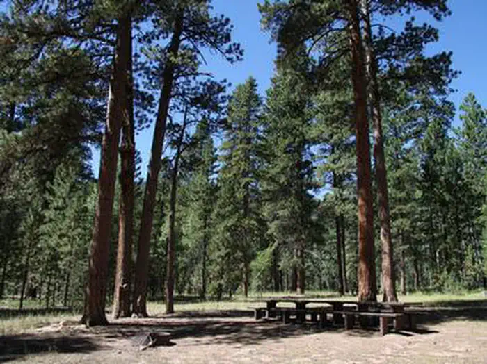
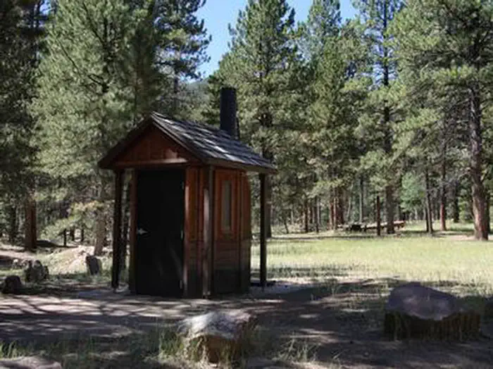
The campground contains one large group site that can accommodate up to 150 people. Several picnic tables and campfire rings with grills are scattered throughout the area. Vault toilets and trash collection are provided. Campers must bring their own supply. Roads and parking spurs are gravel.
Individual sites vary. Confirm on Recreation.gov or with the managing office.
Weather by month
Getting there
From Roosevelt, Utah, take State Highway 121 north to Neola, then travel on Uinta and Ouray Indian Reservation Road to Forest Road 118.
| Nearest town | Duchesne, Utah |
| Coordinates | 40.5161° N, 110.0372° W · Directions ↗ |
Good to know
- The available water is not potable.
Fire nearby
- PrescribedMiddle Beaver Rx
29 mi from the campground · 50 acres
- PrescribedHole In The Rock Rx
31 mi from the campground · 85 acres
- PrescribedWestern Roughneck Rx
34 mi from the campground · 472 acres
- PrescribedD1 Pondo Rx
36 mi from the campground · 532 acres
Distance is to the reported incident point, not the fire edge. Call the managing office before you drive.
Supplies & services
| Outdoor gear | Sportsman's Warehouse ↗ | 25.4 mi |
| Dump station | Dump station ↗ | 31.8 mi |
Locations © OpenStreetMap contributors. Call ahead; hours change seasonally.
Explore
Worth a stop
- 7.1 mi
- 8.7 mi
- 14.4 miWest Fork Trailhead ↗Trailhead
Trails nearby
- 4.8 miElkhorn Loop High Country2.2 mi trail · hiking, horse, bike, motorcycle and 3 more
Trail and trailhead records are the Forest Service's. Distances are straight-line to the nearer trail end. Trail conditions are not tracked here.
Public land it sits in
This campground sits inside Ashley National Forest.
- inAshley National Forest ↗National Forest · Forest Service · 1,401,248 acres
- 1 miUinta-Wasatch-Cache National Forest ↗National Forest · Forest Service · 2,912,954 acres
- 12.8 miHigh Uintas Wilderness ↗Wilderness · Forest Service · 453,863 acres
Each unit is published as a centre point and an acreage rather than a boundary, so this section stands it in for a circle of the same area. Whether a campground is inside, and how far it is from one it is outside, are both approximate.
Other campgrounds nearby

Cabin and lookout rentals nearby

Natural features
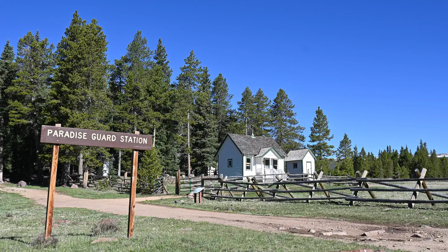
The campground lies in an open meadow beneath towering Ponderosa pines. Summer wildflowers and wildlife are abundant.
Recreation
Anglers fish for rainbow, brown, brook and cutthroat trout on the Uinta River. The Uinta River Trailhead is just up the road, providing access to the Chain Lakes region of the High Uintas Wilderness. Hiking, backpacking and horseback riding are popular in the wilderness area, and numerous sparkling lakes provide great backcountry fishing opportunities.
Guidebooks for Utah
We earn a small commission if you buy through these links. It does not change what we list.


Titles come from Open Library's catalog, matched by subject heading or by title.
Reference
Questions people ask
Do I need a reservation at Uinta River Group?
Sites at Uinta River Group are reservable on Recreation.gov. Any walk-up sites are listed on the booking page.
Source: Recreation.gov
What time is check-in at Uinta River Group?
Check-in 2:00 PM, checkout 1:00 PM.
Source: Recreation.gov
How many sites does Uinta River Group have?
1 site, including 1 group site.
Source: Recreation.gov
Will my RV fit at Uinta River Group?
The longest site here provides 35 feet of vehicle capacity. Most sites are shorter. The sidebar tool checks a trailer or motorhome length against every site.
Source: Will my RV fit
Can I have a campfire at Uinta River Group?
Fires are allowed in the provided rings under normal conditions. As of 2026-10-16, there are 4 active fires within 50 miles, so check current restrictions before you light one.
Source: Fire nearby
Is there cell service at Uinta River Group?
FCC coverage maps show AT&T 4G LTE at the campground point. Terrain changes that from one site to the next.
Source: FCC Broadband Map
What is there to do at Uinta River Group?
Anglers fish for rainbow, brown, brook and cutthroat trout on the Uinta River. The Recreation section on this page has the rest.
Source: Recreation
What is the nearest town to Uinta River Group?
Duchesne, Utah.
Source: Getting there
What if Uinta River Group is full?
The nearest public campgrounds are Whiterocks Campground (8.8 mi, first-come), Uinta Canyon Campground (9.2 mi, first-come), and Pole Creek Lake Campground (11.3 mi, first-come).
Source: Campgrounds nearby