Dimond O
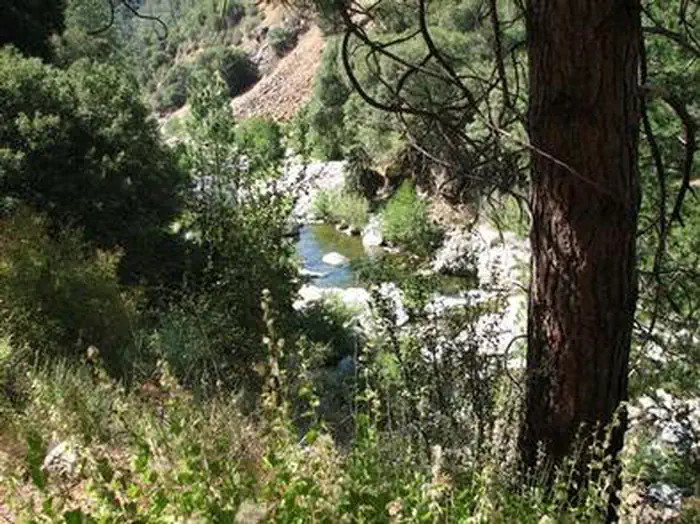
Dimond O is ideally located closest to Yosemite National Park's Big Oak Flat entrance and Hetch Hetchy. It's nestled near the banks of the scenic Middle Fork Toulumne River, where warm summer days can be spent wading and fly fishing in the refreshing waters.
More like this: reservable in California · big rigs in California · pets allowed in California
Check availability on Recreation.gov ↗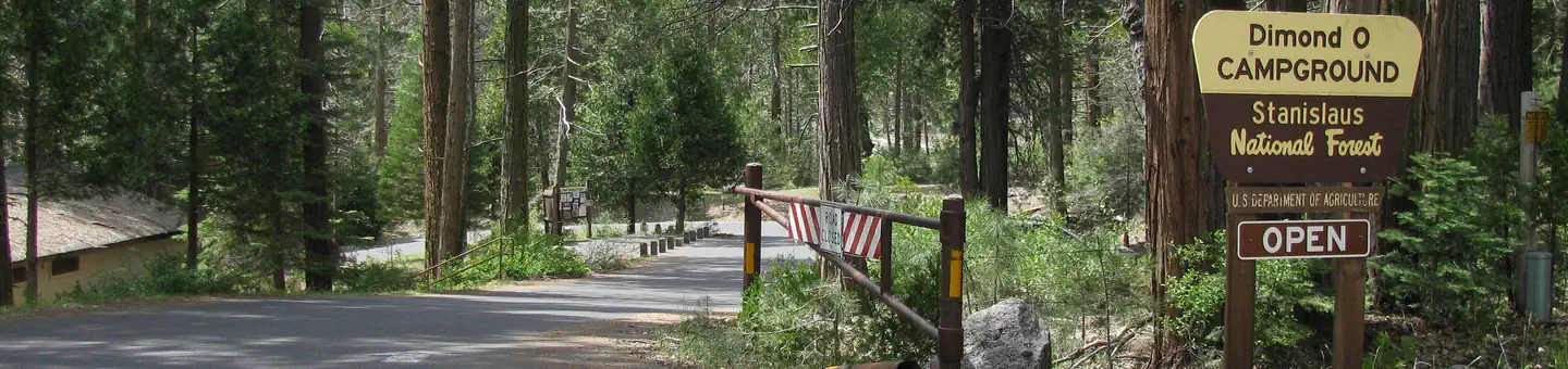
Site mix
| Standard, no hookups | 22 |
| Tent-only | 4 |
Site guide
Will my RV fit
The longest site here provides 48 feet of vehicle capacity. Most sites are shorter.
26 sites in 2 loops. Tap a filter to narrow the list; the map follows.
| Site | Loop | Type | Entry | Fits, ft | Surface | Shade | Waterfront | People / vehicles | Fires |
|---|---|---|---|---|---|---|---|---|---|
| 005 | Lower | Tent only | Back-in | 25 | Paved | Partial | Riverfront | 6 / 1 | Yes |
| 006 | Lower | Standard | Back-in | 22 | Paved | Partial | Riverfront | 6 / 1 | Yes |
| 007 | Lower | Standard | Back-in | 36 | Paved | Partial | Riverfront | 6 / 1 | Yes |
| 008 | Lower | Tent only | Pull-through | 50 | Paved | Full | Riverfront | 6 / 1 | Yes |
| 009 | Lower | Standard | Back-in | 22 | Paved | Full | Riverfront | 6 / 1 | Yes |
| 030 | Lower | Standard | Back-in | 40 | Paved | Full | Riverfront | 6 / 1 | Yes |
| 031 | Lower | Standard | Back-in | 38 | Paved | Partial | Riverfront | 6 / 1 | Yes |
| 032 | Lower | Standard | Back-in | 38 | Paved | Full | Riverfront | 6 / 1 | Yes |
| 033 | Lower | Standard | Back-in | 40 | Paved | Partial | Riverfront | 6 / 1 | Yes |
| 038 | Lower | Tent only | Back-in | 45 | Paved | Riverfront | 6 / 1 | Yes |
Per-site records as published by the managing agency on Recreation.gov. Blank cells mean the agency listed nothing for that site. Check-in 2:00 PM, checkout 11:00 AM.
Amenities & rules
| Hookups | None |
| Max vehicle length | 48 ft |
| Equipment | RVs & trailers, Tents |
| Pets | Allowed |
| Campfires | Allowed, subject to restrictions |
| Tent pads | Yes |
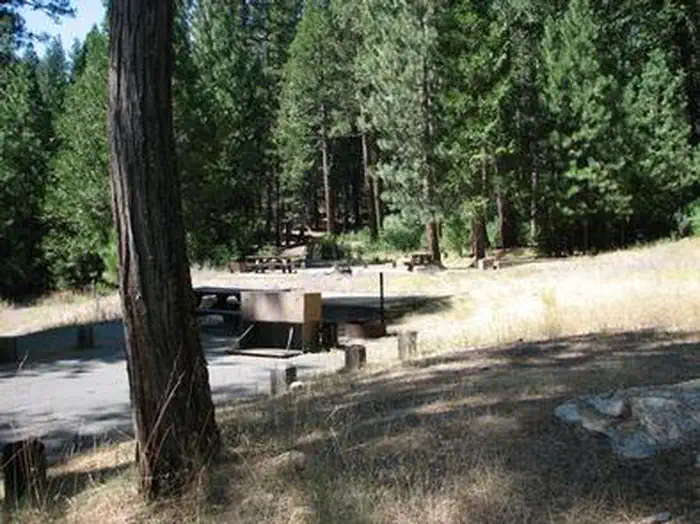
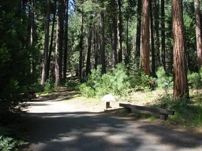
The campground offers single and double-family sites, many of which are accessible. Picnic tables and campfire rings are provided, as are accessible vault toilets and drinking water. Roads and parking spurs are paved. Firewood is available for a fee.
Individual sites vary. Confirm on Recreation.gov or with the managing office.
Season & status
| Status | Closed for the season. Forest Service sites close for the season; check the official page for the reopening date. |
| Season | May to September |
| Forest | Stanislaus National Forest |
| Booking | For reservations, visit www.recreation.gov or call 1 (877) 444-6777; TDD: 1877-833-6777. |
| Fees | American Land & Leisure operates the Dimond O Campground and charges the following fees: $33.00 for a single-family site. $66.00 for a double-family site. American Land & Leisure operates this campground under a special use permit administered by the Forest Service. |
| Rules | Camp in designated sites only. The number of people allowed in a single campsite is 6. The maximum length of stay in any campground is 14 days. Campfire permits are not required in developed campgrounds. Do not burn plastic or metal. Please leave the area in as good (or better) condition than you found it. |
Weather by month
Getting there
From the Groveland District Office, head east 15 miles on Highway 120, then turn left on Evergreen Road and travel 4 miles. The campground is located on the left.
| Nearest town | Groveland, California |
| Coordinates | 37.8250° N, 119.8611° W · Directions ↗ |
Fire nearby
- WildfireDome
22 mi from the campground · 6,788 acres · 95% contained
Distance is to the reported incident point, not the fire edge. Call the managing office before you drive.
Supplies & services
| Outdoor gear | Mountain Shop & Mountaineering School ↗ | 17 mi |
| Dump station | Dump station ↗ | 17.2 mi |
| RV sales & service | Denis RV Center ↗ | 59.4 mi |
Locations © OpenStreetMap contributors. Call ahead; hours change seasonally.
Explore
Video
Dimond O Campground - Stanislaus National Forest, CA
Worth a stop
Take a scenic drive through Yosemite to explore its legendary landscapes.
- 0.8 miCarlon Day Use Area ↗Day use
- 1.9 miBig Oak Flat Information Station ↗Visitor center
- 2.3 miMiddle Fork Day Use Area ↗Day use
Trails nearby
- 0.7 miCarlon Campground0.1 mi trail · hiking, horse, bike
- 2.7 miDiamond O0.1 mi trail · hiking, horse, bike
- 4.1 miMather1.3 mi trail · hiking, horse, bike
- 4.3 miPreston Falls4 mi trail · hiking, horse, bike
- 4.7 miSpur From 19e580.9 mi trail · hiking, horse, bike
Trail and trailhead records are the Forest Service's. Distances are straight-line to the nearer trail end. Trail conditions are not tracked here.
Public land it sits in
This campground sits inside Yosemite Wilderness.
- inYosemite Wilderness ↗Wilderness · National Park Service · 704,624 acres
- 2 miStanislaus National Forest ↗National Forest · Forest Service · 1,090,354 acres
Each unit is published as a centre point and an acreage rather than a boundary, so this section stands it in for a circle of the same area. Whether a campground is inside, and how far it is from one it is outside, are both approximate.
Other campgrounds nearby
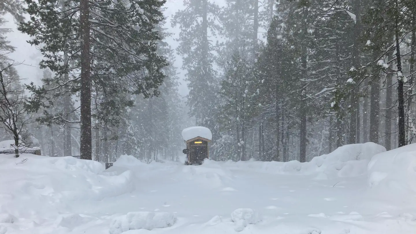
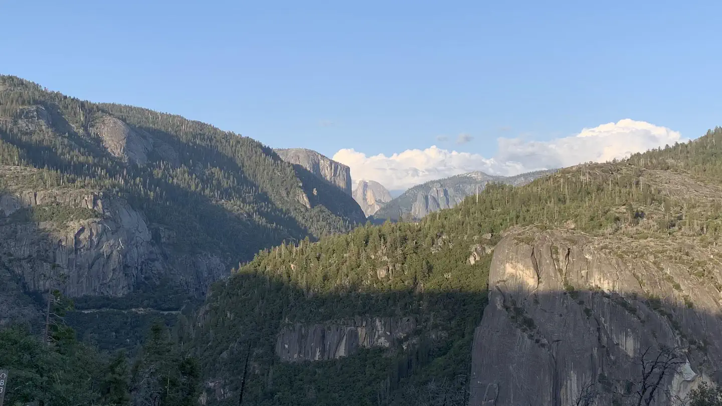
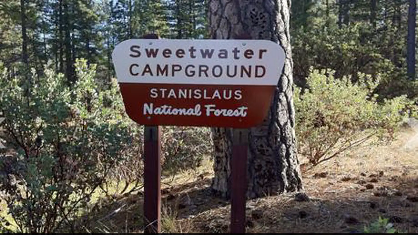
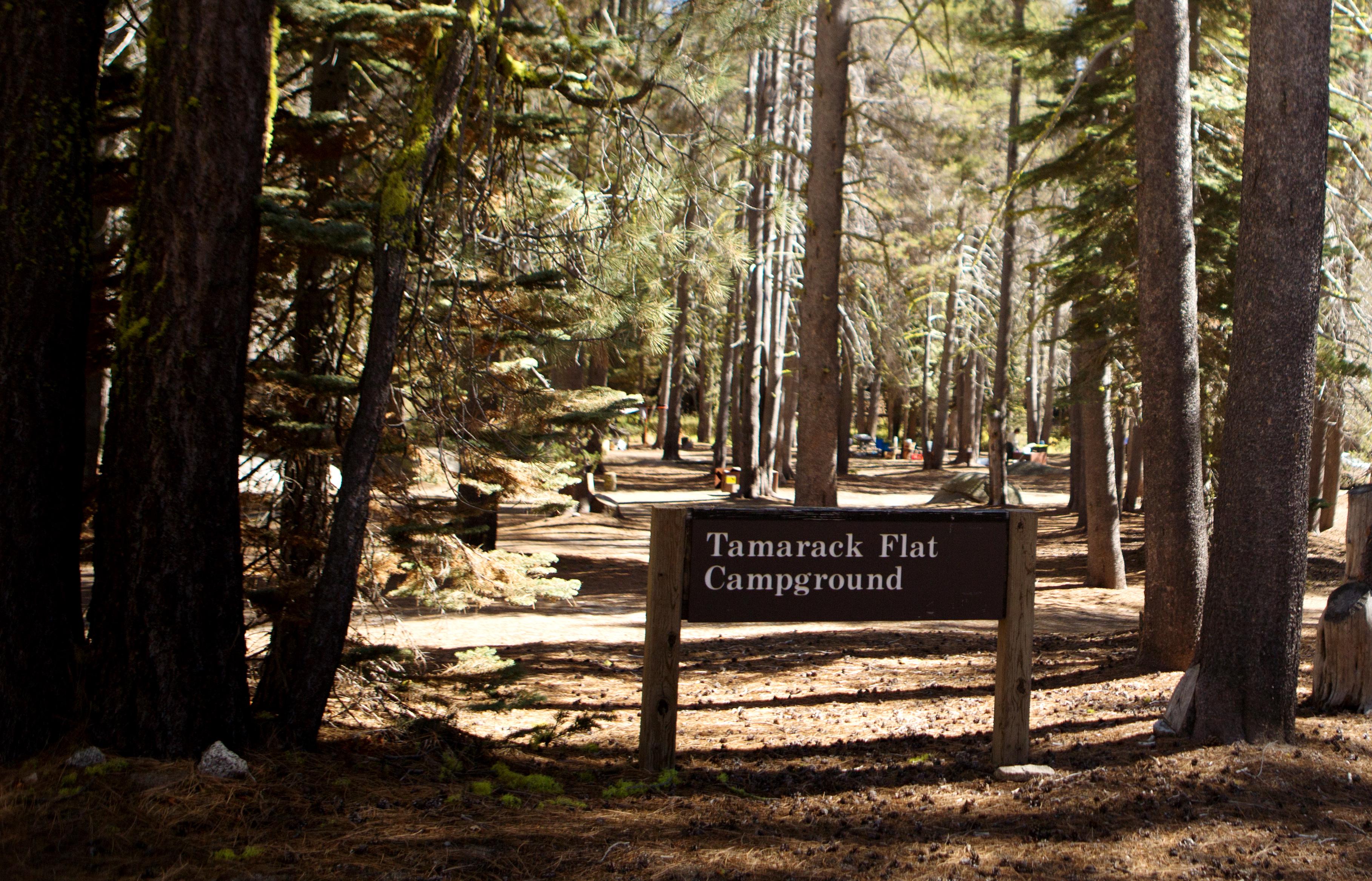
On the National Register nearby
- Crane Flat Fire LookoutBuilding · Aspen Valley · 5 mi
- Merced Grove Ranger StationBuilding · El Portal · 5.4 mi
- Big Gap FlumeSite · Groveland · 10.9 mi
Natural features
Some sites overlook the river and others are tucked among cedar and ponderosa pine trees. The Tuolumne River runs for about 150 miles from the central Sierra Nevada to the San Joaquin River.
Recreation
Nearby trails include the Carlon Falls Trail near the Carlon Day Use Area, and Yosemite National Park trails accessible from Hetch Hetchy. The Middle Fork Toulumne River is a popular spot for swimming, wading and rainbow trout fishing.
Guidebooks for California
We earn a small commission if you buy through these links. It does not change what we list.

Titles come from Open Library's catalog, matched by subject heading or by title.
Reference
Questions people ask
Do I need a reservation at Dimond O?
Sites at Dimond O are reservable on Recreation.gov. For reservations, visit www.recreation.gov or call 1 (877) 444-6777; TDD: 1877-833-6777. Any walk-up sites are listed on the booking page.
Source: Recreation.gov
How much does it cost to camp at Dimond O?
American Land & Leisure operates the Dimond O Campground and charges the following fees: $33.00 for a single-family site. $66.00 for a double-family site. American Land & Leisure operates this campground under a special use permit administered by the Forest Service.
Source: Recreation.gov
What time is check-in at Dimond O?
Check-in 2:00 PM, checkout 11:00 AM.
Source: Recreation.gov
Is Dimond O open right now?
Closed for the season as of Oct 16, 2026. Season May to September.
Source: Forest Service status
How many sites does Dimond O have?
26 sites, including 22 standard sites without power and 4 tent-only sites.
Source: Recreation.gov
Will my RV fit at Dimond O?
The longest site here provides 48 feet of vehicle capacity. Most sites are shorter. The sidebar tool checks a trailer or motorhome length against every site.
Source: Will my RV fit
Are pets allowed at Dimond O?
Yes, pets are allowed at Dimond O. Leash rules apply.
Source: Recreation.gov
Can I have a campfire at Dimond O?
Fires are allowed in the provided rings under normal conditions. As of 2026-10-16, there is 1 active fire within 50 miles, so check current restrictions before you light one. Camp in designated sites only.
Source: Fire nearby
Is there cell service at Dimond O?
FCC coverage maps show Verizon 4G LTE at the campground point. Terrain changes that from one site to the next.
Source: FCC Broadband Map
What is there to do at Dimond O?
Nearby trails include the Carlon Falls Trail near the Carlon Day Use Area, and Yosemite National Park trails accessible from Hetch Hetchy. The Recreation section on this page has the rest.
Source: Recreation
What is the nearest town to Dimond O?
Groveland, California. Take a scenic drive through Yosemite to explore its legendary landscapes.
Source: Getting there
What if Dimond O is full?
The nearest public campgrounds are Hodgdon Meadow Campground (1.8 mi), Crane Flat Campground (4.3 mi), and Sweetwater (7.8 mi).
Source: Campgrounds nearby