Running Deer Campground
Running Deer Campground is located on the eastern shore of the Little Grass Valley Reservoir, giving visitors ample opportunity to fish, swim, boat and enjoy nature. It is one of eight campgrounds in the area, providing access to a beautiful mountain lake and various hiking, mountain biking and horseback riding trails that meander through the scenic hills and valleys.
Some sites take reservations on Recreation.gov. Others are first-come, first-served.
More like this: first-come in California · reservable in California · pets allowed in California
Check availability on Recreation.gov ↗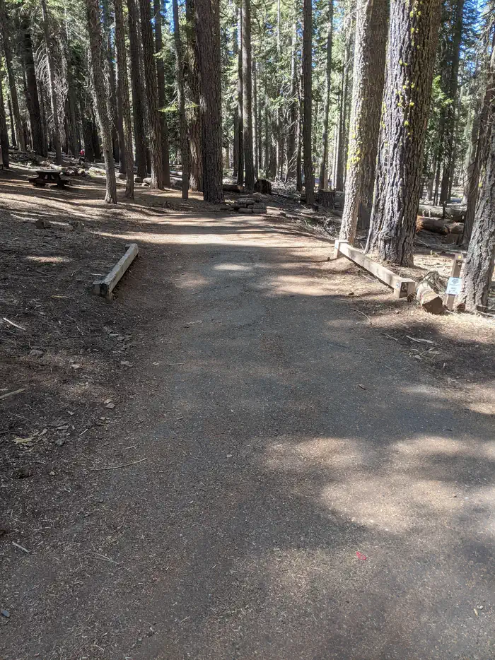
Site mix
| Standard, no hookups | 41 |
Site guide
41 sites. Tap a filter to narrow the list; the map follows.
| Site | Entry | Fits, ft | Surface | Shade | Waterfront | People / vehicles | Fires |
|---|---|---|---|---|---|---|---|
| 01 | Back-in | 48 | Paved | Partial | 6 / 2 | Yes | |
| 02 | 39 | Paved | Partial | 6 / 2 | Yes | ||
| 03 | Back-in | 50 | Paved | Partial | 6 / 2 | Yes | |
| 04 | Back-in | 51 | Paved | Partial | 6 / 2 | Yes | |
| 05 | Back-in | 42 | Paved | Partial | 6 / 2 | Yes | |
| 06 | Back-in | 37 | Paved | Partial | 6 / 2 | Yes | |
| 07 | Back-in | 35 | Paved | Partial | 6 / 2 | Yes | |
| 08 | 55 | Paved | Partial | 6 / 2 | Yes | ||
| 09 | Back-in | 18 | Paved | Full | 6 / 2 | Yes | |
| 10 | Back-in | 26 | Paved | Partial | 6 / 2 | Yes |
Per-site records as published by the managing agency on Recreation.gov. Blank cells mean the agency listed nothing for that site. Check-in 2:00 PM, checkout 12:00 PM.
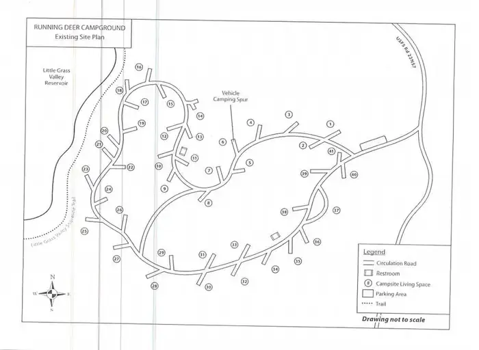
Amenities & rules
| Hookups | None |
| Max vehicle length | 33 ft |
| Equipment | RVs & trailers, Tents |
| Pets | Allowed |
| Campfires | Allowed, subject to restrictions |
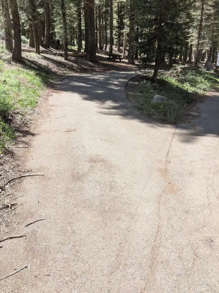
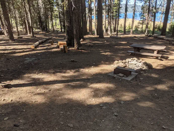
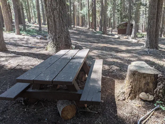
The campground offers dozens of single-family campsites, available for tent and RV camping. More than a handful of the sites overlook the beautiful lake, while others are surrounded by various trees and shrubbery. A boat ramp is available within the site. Campsites are equipped with tables and campfire rings with grills. Flush toilets and drinking water are provided. Utility hookups are not available and all sites have paved parking spurs. Trash collection bins are available throughout the campground.
Individual sites vary. Confirm on Recreation.gov or with the managing office.
Season & status
| Status | Closed for the season. Forest Service sites close for the season; check the official page for the reopening date. |
| Forest | Plumas National Forest |
| Booking | Sites can be reserved by calling 1-877-444-6777 or online at www.Recreation.gov The campground has about half reservation and half first come first serve. |
| Fees | $23 per site $25 per Prime Lakeside site |
| Rules | • 14 day limit • 6 people per campsite and • 2 vehicles per campsite • 14 day camping limit, • OHV riding is not allowed in the campground, • Bear Awareness |
Weather by month
Getting there
From Oroville, California, travel east on Highway 162 to Olive Highway. Turn right and continue 5 miles to Forbestown Road. Turn right and go 16 miles to La Porte Road. Turn left and travel 27 miles to La Porte, then 2 miles to signs for the recreation area. Turn right and continue just over 2 miles to the campground.
| Nearest town | La Porte, California |
| Coordinates | 39.7353° N, 120.9531° W · Directions ↗ |
Charges and cancellations
$23/site per night
Supplies & services
| Dump station | Dump station ↗ | 34.3 mi |
| RV sales & service | DeMartini RV Sales ↗ | 35.9 mi |
| Outdoor gear | REI ↗ | 45.4 mi |
Locations © OpenStreetMap contributors. Call ahead; hours change seasonally.
Explore
Video
Running Deer Campground, Plumas National Forest, California Campsite Photos
Trails nearby
- 1.2 miBald Mountain Trail2.2 mi trail
- 1.2 miLakeshore Trail ↗14.3 mi trail
- 1.3 miWallace1.6 mi trail
- 1.8 miGibson1 mi trail
- 2 miBald Mountain PCT Tie1.2 mi trail
- 2.2 miEast Branch Ridge2.1 mi trail
Trail and trailhead records are the Forest Service's. Distances are straight-line to the nearer trail end. Trail conditions are not tracked here.
Public land it sits in
This campground sits inside Plumas National Forest.
- inPlumas National Forest ↗National Forest · Forest Service · 1,431,953 acres
- 8 miTahoe National Forest ↗National Forest · Forest Service · 1,181,139 acres
Each unit is published as a centre point and an acreage rather than a boundary, so this section stands it in for a circle of the same area. Whether a campground is inside, and how far it is from one it is outside, are both approximate.
Other campgrounds nearby

On the National Register nearby
- Hospital BridgeStructure · Downieville · 13.4 mi
- Hansen BridgeStructure · Downieville · 13.7 mi
- Durgan BridgeStructure · Downieville · 13.8 mi
Natural features
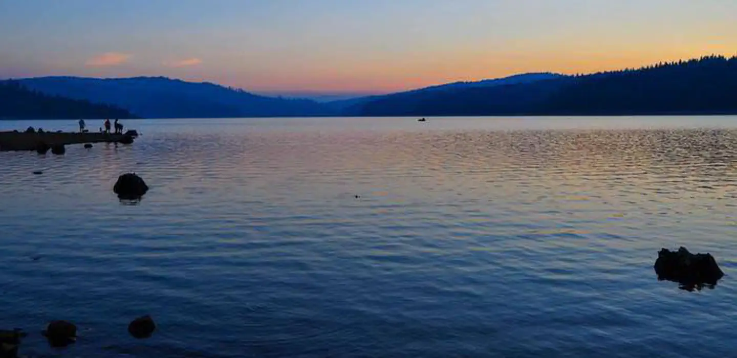
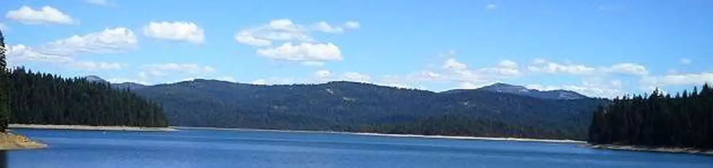
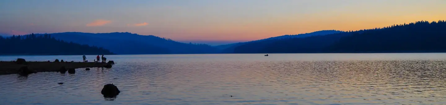
The campground is located in the Northern Sierra Nevada Mountains of northern California at an elevation of about 5,000 feet. It is adjacent to the Little Grass Valley Reservoir, which was formed by flooding in the 1960s. The campground and the lake are surrounded by thick stands of pine and fir trees. There are multiple campgrounds located around the lake as well as cabins on the south side. The campground is also the center of a popular snowmobiling area during winter months.
Recreation
The 1,615-acre lake provides ample opportunities for visitors to fish, boat, swim and water ski. Anglers can expect a catch of a variety of trout and kokanee salmon, among other species of fish. The Lakeshore Trail, which loops 14.5 miles around the lake, is available for hiking, mountain biking and horseback riding. The trail connects to the Pacific Crest National Scenic Trail, which stretches from 2,650 miles from Canada to Mexico, across three states. A variety of day hikes can be done on portions of the trail.
Nearby
About 12 miles northeast of the lake lies a small, natural lily pond, called Fowler Lake. It sits at an altitude of 5,446 feet and is a beautiful sight.
Guidebooks for California
We earn a small commission if you buy through these links. It does not change what we list.

Titles come from Open Library's catalog, matched by subject heading or by title.
Reference
Questions people ask
Do I need a reservation at Running Deer Campground?
For some sites. Some sites take reservations on Recreation.gov. Others are first-come, first-served.
Source: Recreation.gov
How much does it cost to camp at Running Deer Campground?
$23 per site $25 per Prime Lakeside site
Source: Recreation.gov
What time is check-in at Running Deer Campground?
Check-in 2:00 PM, checkout 12:00 PM.
Source: Recreation.gov
Is Running Deer Campground open right now?
Closed for the season as of Oct 16, 2026.
Source: Forest Service status
How many sites does Running Deer Campground have?
41 sites, including 41 standard sites without power.
Source: Recreation.gov
Will my RV fit at Running Deer Campground?
The longest site here provides 33 feet of vehicle capacity. Most sites are shorter. The sidebar tool checks a trailer or motorhome length against every site.
Source: Will my RV fit
Are there showers or a dump station at Running Deer Campground?
Flush toilets and drinking water are provided.
Source: Recreation.gov
Are pets allowed at Running Deer Campground?
Yes, pets are allowed at Running Deer Campground. Leash rules apply.
Source: Recreation.gov
Can I have a campfire at Running Deer Campground?
Fires are allowed in the provided rings under normal conditions. • 14 day limit • 6 people per campsite and • 2 vehicles per campsite • 14 day camping limit, • OHV riding is not allowed in the campground, • Bear Awareness
Source: Recreation.gov
What is there to do at Running Deer Campground?
The 1,615-acre lake provides ample opportunities for visitors to fish, boat, swim and water ski. The Recreation section on this page has the rest.
Source: Recreation
What is the nearest town to Running Deer Campground?
La Porte, California. About 12 miles northeast of the lake lies a small, natural lily pond, called Fowler Lake.
Source: Getting there
What if Running Deer Campground is full?
The nearest public campgrounds are Red Feather California (under 0.1 mi, partly first-come), Horse Campground (under 0.1 mi), and Little Grass Valley Recreation Area (1.9 mi).
Source: Campgrounds nearby